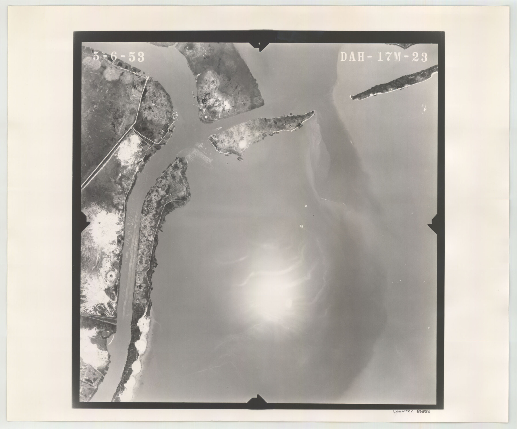
Flight Mission No. DAH-17M, Frame 23, Orange County
DAH-17M-23
-
Map/Doc
86886
-
Collection
General Map Collection
-
Object Dates
1953/5/6 (Creation Date)
-
People and Organizations
U. S. Department of Agriculture (Publisher)
-
Counties
Orange
-
Subjects
Aerial Photograph
-
Height x Width
18.7 x 22.5 inches
47.5 x 57.2 cm
-
Comments
Flown by Jack Ammann Photogrammetric Engineers of San Antonio, Texas.
Part of: General Map Collection
Edwards County Sketch File 9

Print $20.00
- Digital $50.00
Edwards County Sketch File 9
Size 16.9 x 37.8 inches
Map/Doc 10443
Knox County Working Sketch 6

Print $20.00
- Digital $50.00
Knox County Working Sketch 6
1937
Size 31.4 x 18.2 inches
Map/Doc 70248
Township 2 North Range 11 West, North Western District, Louisiana

Print $20.00
- Digital $50.00
Township 2 North Range 11 West, North Western District, Louisiana
1884
Size 19.7 x 24.7 inches
Map/Doc 65876

Winkler County Working Sketch 5

Print $40.00
- Digital $50.00
Winkler County Working Sketch 5
1957
Size 31.1 x 131.9 inches
Map/Doc 72599
Bee County Sketch File 4a

Print $4.00
- Digital $50.00
Bee County Sketch File 4a
Size 7.1 x 8.5 inches
Map/Doc 14270
McLennan County Sketch File 3

Print $4.00
- Digital $50.00
McLennan County Sketch File 3
1857
Size 11.1 x 8.1 inches
Map/Doc 31233
Flight Mission No. CUG-3P, Frame 160, Kleberg County

Print $20.00
- Digital $50.00
Flight Mission No. CUG-3P, Frame 160, Kleberg County
1956
Size 18.4 x 22.1 inches
Map/Doc 86280
Concho County Sketch File 31

Print $30.00
- Digital $50.00
Concho County Sketch File 31
1911
Size 11.2 x 9.0 inches
Map/Doc 19175
Harris County Sketch File 49

Print $10.00
- Digital $50.00
Harris County Sketch File 49
1908
Size 11.4 x 9.0 inches
Map/Doc 25446
Newton County Sketch File 47

Print $20.00
- Digital $50.00
Newton County Sketch File 47
1932
Size 18.9 x 21.9 inches
Map/Doc 42159
Baylor County Rolled Sketch 8

Print $20.00
- Digital $50.00
Baylor County Rolled Sketch 8
1883
Size 12.9 x 18.4 inches
Map/Doc 5124
You may also like
Map of the United States and Texas Boundary Line and Adjacent Territory

Print $20.00
- Digital $50.00
Map of the United States and Texas Boundary Line and Adjacent Territory
1860
Size 26.9 x 41.4 inches
Map/Doc 2129
Texas Intracoastal Waterway - Port O'Connor to San Antonio Bay, Including Pass Cavallo

Print $20.00
- Digital $50.00
Texas Intracoastal Waterway - Port O'Connor to San Antonio Bay, Including Pass Cavallo
1957
Size 27.3 x 38.9 inches
Map/Doc 73371
Hutchinson County Working Sketch 33

Print $20.00
- Digital $50.00
Hutchinson County Working Sketch 33
1978
Size 27.5 x 23.5 inches
Map/Doc 66393

Hamilton County Sketch File 7

Print $40.00
- Digital $50.00
Hamilton County Sketch File 7
1860
Size 12.2 x 15.3 inches
Map/Doc 24912
Flight Mission No. CRC-4R, Frame 172, Chambers County

Print $20.00
- Digital $50.00
Flight Mission No. CRC-4R, Frame 172, Chambers County
1956
Size 18.6 x 22.3 inches
Map/Doc 84923
Presidio County Working Sketch 12

Print $20.00
- Digital $50.00
Presidio County Working Sketch 12
1941
Size 22.3 x 19.9 inches
Map/Doc 71687
Presidio County Rolled Sketch 48

Print $20.00
- Digital $50.00
Presidio County Rolled Sketch 48
1908
Size 29.9 x 35.1 inches
Map/Doc 9775
Zavala County Sketch File A

Print $10.00
- Digital $50.00
Zavala County Sketch File A
1893
Size 8.7 x 7.9 inches
Map/Doc 41433
Wood County Rolled Sketch 2

Print $40.00
- Digital $50.00
Wood County Rolled Sketch 2
1941
Size 52.6 x 24.9 inches
Map/Doc 10160
Bexar County Boundary File 3

Print $6.00
- Digital $50.00
Bexar County Boundary File 3
Size 8.2 x 3.6 inches
Map/Doc 50536
Randall County

Print $20.00
- Digital $50.00
Randall County
1958
Size 41.0 x 33.0 inches
Map/Doc 77402