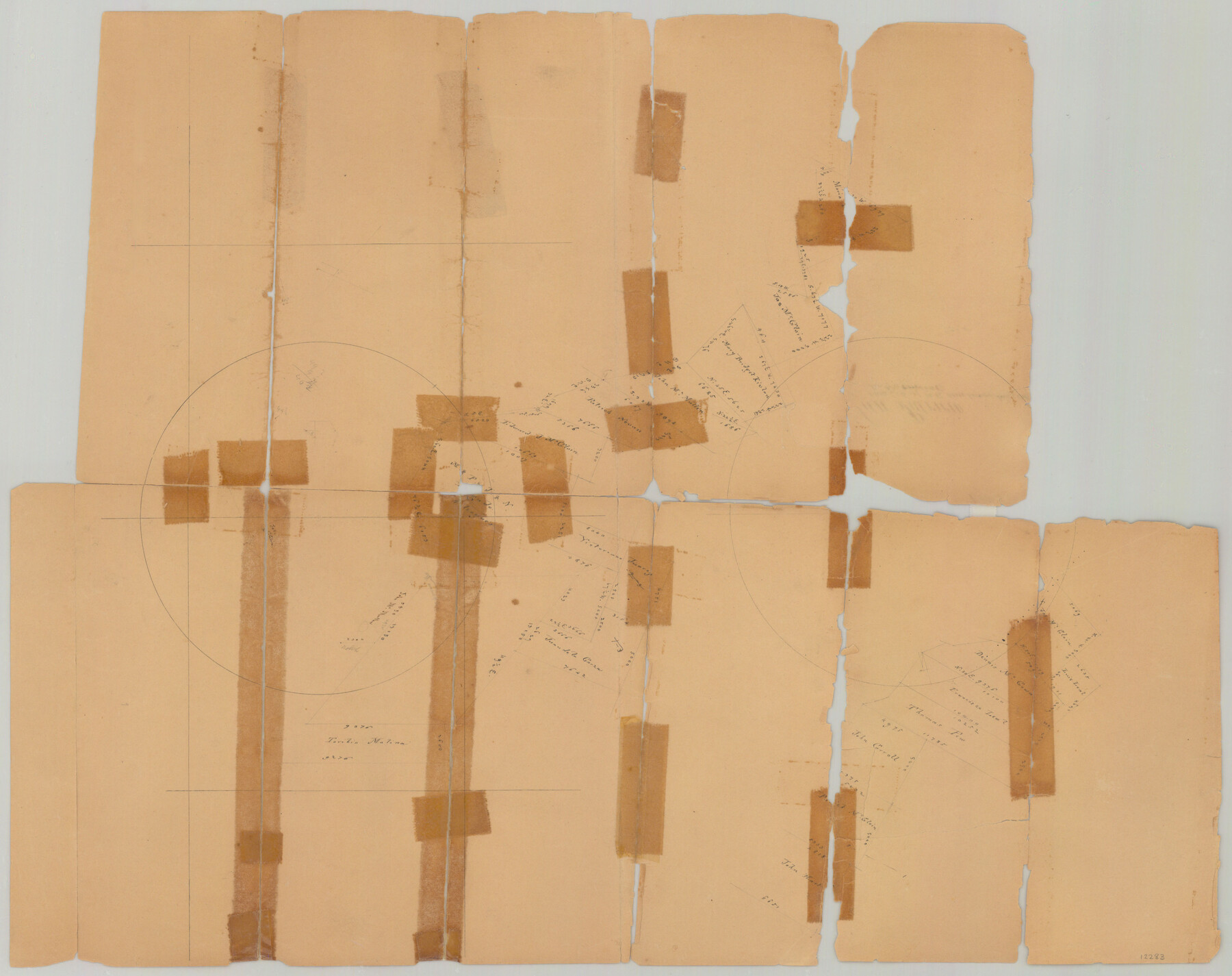
San Patricio County Sketch File 4
[Torn sketch showing surveys on either side of the San Patricio-Live Oak county line]
-
Map/Doc
12283
-
Collection
General Map Collection
-
Counties
San Patricio Live Oak
-
Subjects
Surveying Sketch File
-
Height x Width
16.9 x 30.5 inches
42.9 x 77.5 cm
-
Medium
paper, manuscript
Part of: General Map Collection
Morris County Sketch File 3

Print $2.00
- Digital $50.00
Morris County Sketch File 3
Size 12.0 x 5.0 inches
Map/Doc 31967
Lipscomb County Working Sketch 6

Print $20.00
- Digital $50.00
Lipscomb County Working Sketch 6
1980
Size 35.7 x 20.8 inches
Map/Doc 70582
Sutton County Rolled Sketch 36

Print $20.00
- Digital $50.00
Sutton County Rolled Sketch 36
1887
Size 27.3 x 33.4 inches
Map/Doc 7880
Sterling County Rolled Sketch 22

Print $20.00
- Digital $50.00
Sterling County Rolled Sketch 22
Size 33.6 x 30.8 inches
Map/Doc 9953
Flight Mission No. CUG-3P, Frame 14, Kleberg County

Print $20.00
- Digital $50.00
Flight Mission No. CUG-3P, Frame 14, Kleberg County
1956
Size 18.7 x 22.3 inches
Map/Doc 86224
Wheeler County

Print $20.00
- Digital $50.00
Wheeler County
1932
Size 39.5 x 35.0 inches
Map/Doc 77456
McLennan County Sketch File 35

Print $10.00
- Digital $50.00
McLennan County Sketch File 35
Size 13.1 x 8.1 inches
Map/Doc 31310
Threading the Islands: Which track fits?

Threading the Islands: Which track fits?
1986
Size 20.5 x 14.7 inches
Map/Doc 96838
Fannin County Boundary File 10a and 10b and 10c

Print $2.00
- Digital $50.00
Fannin County Boundary File 10a and 10b and 10c
Size 11.2 x 9.1 inches
Map/Doc 53327
Hutchinson County Rolled Sketch 18

Print $20.00
- Digital $50.00
Hutchinson County Rolled Sketch 18
Size 30.4 x 32.6 inches
Map/Doc 9244
Brazoria County Working Sketch 7

Print $20.00
- Digital $50.00
Brazoria County Working Sketch 7
1930
Size 40.9 x 21.1 inches
Map/Doc 67492
Montague County Working Sketch 20

Print $20.00
- Digital $50.00
Montague County Working Sketch 20
1952
Size 23.0 x 37.0 inches
Map/Doc 71086
You may also like
Ector County Working Sketch 4

Print $20.00
- Digital $50.00
Ector County Working Sketch 4
1940
Size 25.8 x 30.0 inches
Map/Doc 68847
The Republic County of Liberty. January 20, 1841

Print $20.00
The Republic County of Liberty. January 20, 1841
2020
Size 19.9 x 21.7 inches
Map/Doc 96209
Flight Mission No. DAG-17K, Frame 129, Matagorda County

Print $20.00
- Digital $50.00
Flight Mission No. DAG-17K, Frame 129, Matagorda County
1952
Size 18.6 x 22.3 inches
Map/Doc 86349
Anderson County Working Sketch 19

Print $20.00
- Digital $50.00
Anderson County Working Sketch 19
1951
Size 15.5 x 29.2 inches
Map/Doc 67019
Gregg County Working Sketch 10

Print $20.00
- Digital $50.00
Gregg County Working Sketch 10
1939
Size 34.1 x 26.4 inches
Map/Doc 63276
Northeast Part Presidio County

Print $20.00
- Digital $50.00
Northeast Part Presidio County
1973
Size 41.3 x 32.4 inches
Map/Doc 73265
Schleicher County Sketch File 34

Print $20.00
- Digital $50.00
Schleicher County Sketch File 34
1949
Size 18.7 x 31.7 inches
Map/Doc 12307
Concho County Rolled Sketch 18

Print $20.00
- Digital $50.00
Concho County Rolled Sketch 18
1955
Size 11.4 x 18.3 inches
Map/Doc 5553
Kent County Working Sketch 10

Print $20.00
- Digital $50.00
Kent County Working Sketch 10
Size 34.1 x 43.0 inches
Map/Doc 70017
Flight Mission No. BRA-3M, Frame 129, Jefferson County

Print $20.00
- Digital $50.00
Flight Mission No. BRA-3M, Frame 129, Jefferson County
1953
Size 18.5 x 22.3 inches
Map/Doc 85403
Correct Map of Texas

Print $20.00
- Digital $50.00
Correct Map of Texas
1873
Size 21.3 x 16.9 inches
Map/Doc 95776
[Adams Beaty & Moulton Block 2] / Map of Heller's Addition to Canyon City
![92120, [Adams Beaty & Moulton Block 2] / Map of Heller's Addition to Canyon City, Twichell Survey Records](https://historictexasmaps.com/wmedia_w700/maps/92120-1.tif.jpg)
Print $20.00
- Digital $50.00
[Adams Beaty & Moulton Block 2] / Map of Heller's Addition to Canyon City
1898
Size 22.7 x 24.9 inches
Map/Doc 92120