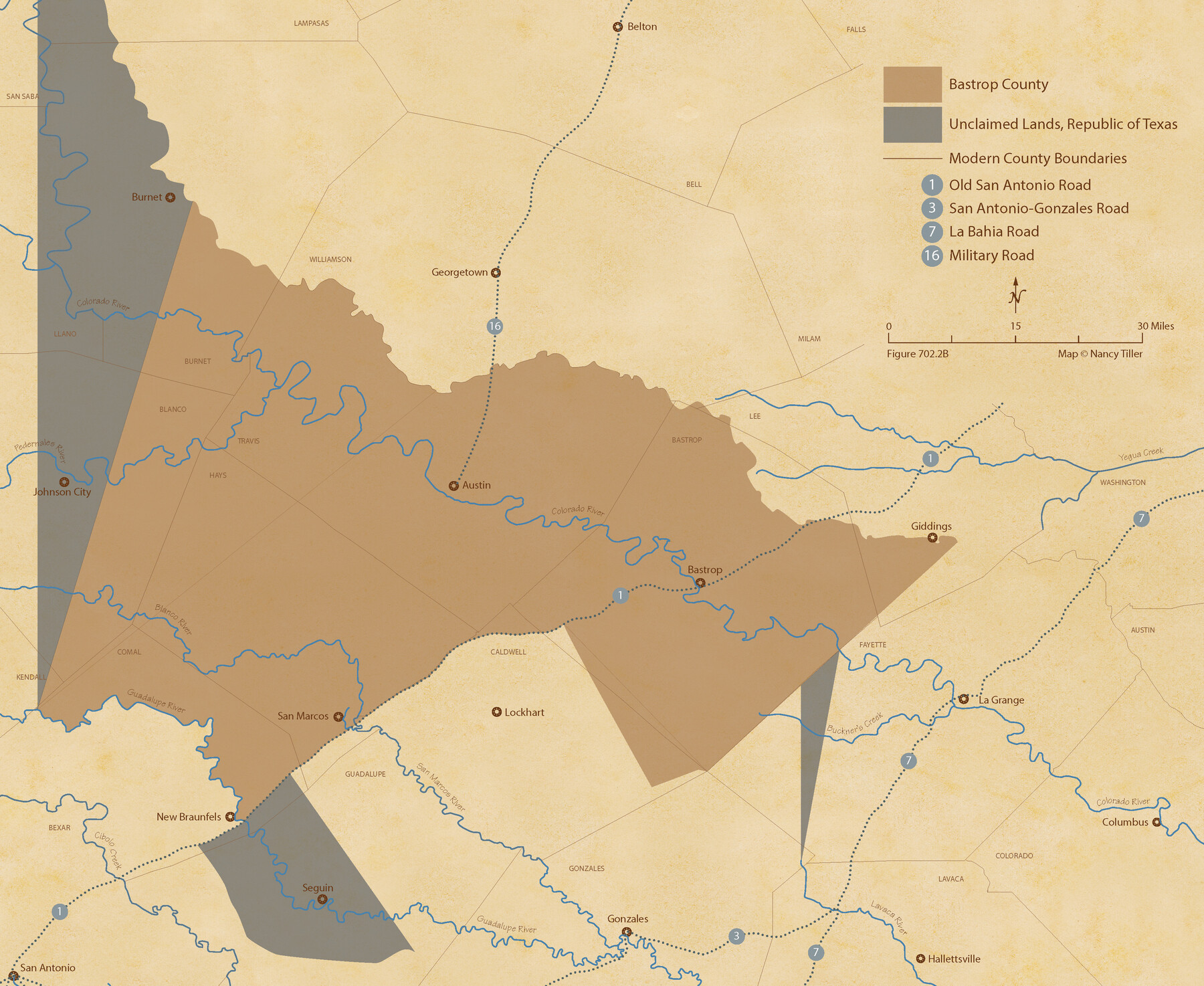
The Republic County of Bastrop. May 24, 1838
Figure No. 702.2 from 'A Boundary Atlas of Texas, 1821-1845' by Jim Tiller
-
Map/Doc
96090
-
Collection
Nancy and Jim Tiller Digital Collection
-
Object Dates
2020/1/1 (Creation Date)
-
People and Organizations
Jim Tiller (Author)
Nancy Tiller (Cartographer)
Gang Gong (GIS Professional)
-
Counties
Bastrop
-
Subjects
Atlas County Republic of Texas Texas Boundaries
-
Height x Width
17.8 x 21.7 inches
45.2 x 55.1 cm
-
Medium
digital image
-
Comments
To purchase a digital PDF copy of "A Boundary Atlas of Texas, 1821-1845" see 96437.
Part of: Nancy and Jim Tiller Digital Collection
The Republic County of Jefferson. December 29, 1845

Print $20.00
The Republic County of Jefferson. December 29, 1845
2020
Size 22.6 x 21.7 inches
Map/Doc 96201
The Republic County of Montgomery. December 31, 1838

Print $20.00
The Republic County of Montgomery. December 31, 1838
2020
Size 19.9 x 21.7 inches
Map/Doc 96236
The Judicial District/County of Panola. June 24, 1841

Print $20.00
The Judicial District/County of Panola. June 24, 1841
2020
Size 19.3 x 21.7 inches
Map/Doc 96341
The Republic County of Jefferson. January 29, 1842

Print $20.00
The Republic County of Jefferson. January 29, 1842
2020
Size 22.6 x 21.7 inches
Map/Doc 96199
The Republic County of Jackson. December 29, 1845

Print $20.00
The Republic County of Jackson. December 29, 1845
2020
Size 15.6 x 21.8 inches
Map/Doc 96192
The Chief Justice County of Sabine. Lands in Conflict with Jasper and San Augustine Counties

Print $20.00
The Chief Justice County of Sabine. Lands in Conflict with Jasper and San Augustine Counties
2020
Size 20.0 x 21.7 inches
Map/Doc 96069
Republic Counties. January 1, 1842

Print $20.00
Republic Counties. January 1, 1842
2020
Size 24.5 x 21.7 inches
Map/Doc 96315
From Citizens of Shelby County for the Creation of a New County to be Called Caddo, April 7, 1838

Print $20.00
From Citizens of Shelby County for the Creation of a New County to be Called Caddo, April 7, 1838
2020
Size 25.5 x 21.7 inches
Map/Doc 96377
The Republic County of Washington. February 1, 1844

Print $20.00
The Republic County of Washington. February 1, 1844
2020
Size 11.8 x 21.7 inches
Map/Doc 96309
Austin Empresario Colony. March 27, 1827

Print $20.00
Austin Empresario Colony. March 27, 1827
2020
Size 18.0 x 21.6 inches
Map/Doc 95980
The Judicial District/County of Waco. Created, January 29, 1842

Print $20.00
The Judicial District/County of Waco. Created, January 29, 1842
2020
Size 16.2 x 21.7 inches
Map/Doc 96352
From Citizens of Victoria County to Redefine the Boundary Between Jackson and Victoria Counties, November 25, 1841

Print $20.00
From Citizens of Victoria County to Redefine the Boundary Between Jackson and Victoria Counties, November 25, 1841
2020
Size 23.3 x 21.7 inches
Map/Doc 96394
You may also like
Montgomery County Sketch File 37

Print $6.00
- Digital $50.00
Montgomery County Sketch File 37
Size 12.6 x 8.2 inches
Map/Doc 31916
Randall County Boundary File 1

Print $26.00
- Digital $50.00
Randall County Boundary File 1
Size 14.0 x 8.5 inches
Map/Doc 58098
Pecos County Sketch File 63

Print $94.00
- Digital $50.00
Pecos County Sketch File 63
1919
Size 8.1 x 13.9 inches
Map/Doc 33792
San Saba County Working Sketch 3

Print $20.00
- Digital $50.00
San Saba County Working Sketch 3
1941
Size 27.3 x 20.7 inches
Map/Doc 63791
Right of Way & Track Map, San Antonio & Aransas Pass Railway Co.

Print $40.00
- Digital $50.00
Right of Way & Track Map, San Antonio & Aransas Pass Railway Co.
1919
Size 25.2 x 56.8 inches
Map/Doc 64218
Jackson County Working Sketch 6

Print $20.00
- Digital $50.00
Jackson County Working Sketch 6
1971
Size 17.0 x 21.7 inches
Map/Doc 66454

Tarrant County Boundary File 1

Print $20.00
- Digital $50.00
Tarrant County Boundary File 1
Size 9.2 x 34.6 inches
Map/Doc 59110
Gulf of Mexico

Print $20.00
- Digital $50.00
Gulf of Mexico
1908
Size 18.3 x 28.0 inches
Map/Doc 72660
Crockett County Working Sketch 85

Print $40.00
- Digital $50.00
Crockett County Working Sketch 85
1976
Size 23.4 x 54.8 inches
Map/Doc 68418
Nueces County Rolled Sketch 107

Print $56.00
Nueces County Rolled Sketch 107
1987
Size 18.4 x 24.8 inches
Map/Doc 7104
Milam County Boundary File 65

Print $10.00
- Digital $50.00
Milam County Boundary File 65
Size 8.8 x 7.8 inches
Map/Doc 57251