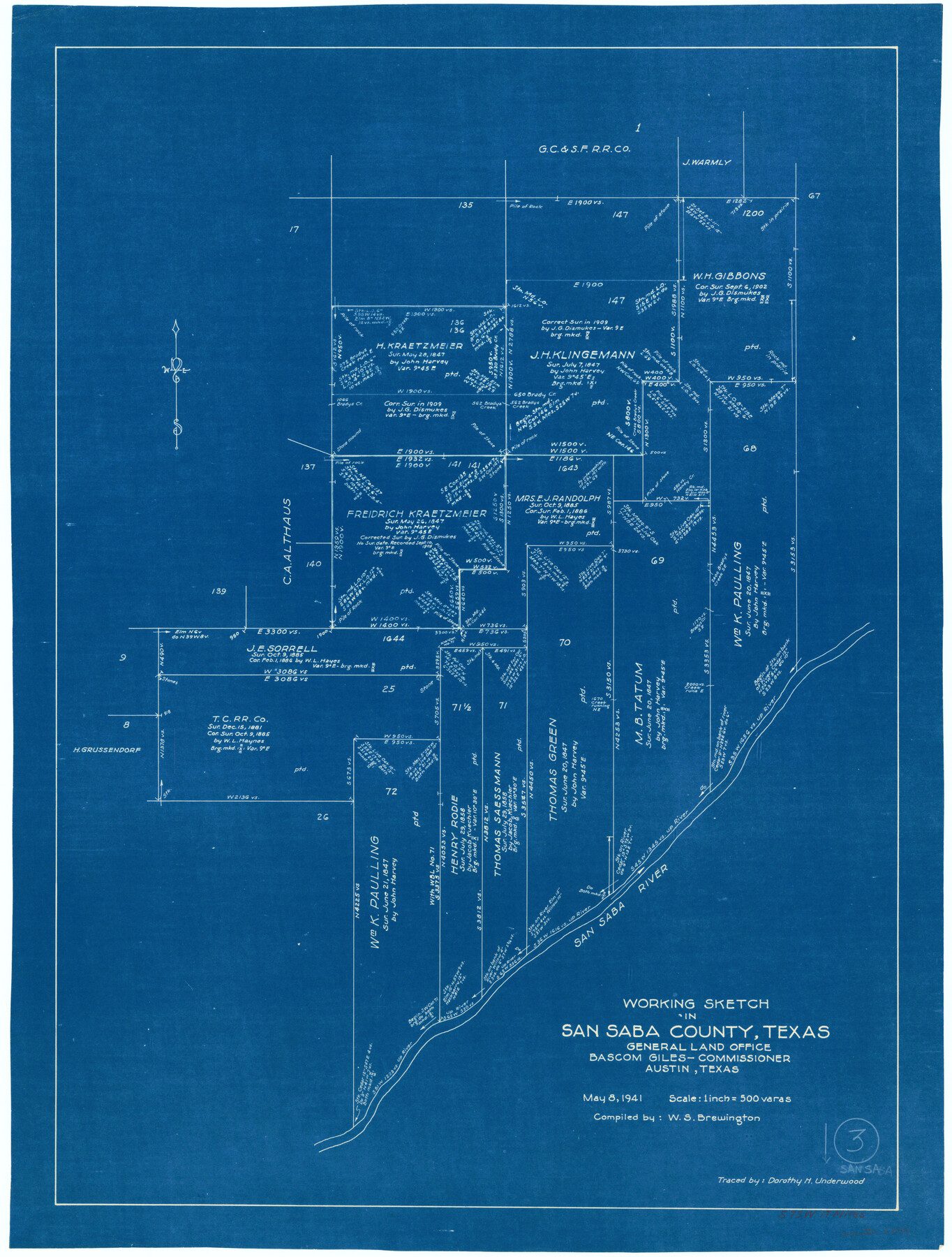
San Saba County Working Sketch 3
-
Map/Doc
63791
-
Collection
General Map Collection
-
Object Dates
5/8/1941 (Creation Date)
-
People and Organizations
W. S. Brewington (Compiler)
Dorothy H. Underwood (Tracer)
-
Counties
San Saba
-
Subjects
Surveying Working Sketch
-
Height x Width
27.3 x 20.7 inches
69.3 x 52.6 cm
-
Scale
1" = 500 varas
Part of: General Map Collection
Right of Way and Track Map, the Missouri, Kansas and Texas Ry. of Texas - Henrietta Division

Print $20.00
- Digital $50.00
Right of Way and Track Map, the Missouri, Kansas and Texas Ry. of Texas - Henrietta Division
1918
Size 11.8 x 26.8 inches
Map/Doc 64751
San Jacinto County Working Sketch 16

Print $20.00
- Digital $50.00
San Jacinto County Working Sketch 16
1934
Size 35.7 x 42.2 inches
Map/Doc 63729
Austin Street Map & Guide

Digital $50.00
Austin Street Map & Guide
Size 35.3 x 23.2 inches
Map/Doc 94434
Pecos County Rolled Sketch 83

Print $20.00
- Digital $50.00
Pecos County Rolled Sketch 83
1931
Size 17.6 x 26.2 inches
Map/Doc 7242
Terrell County Rolled Sketch 40

Print $20.00
- Digital $50.00
Terrell County Rolled Sketch 40
1943
Size 16.7 x 18.1 inches
Map/Doc 7944
Flight Mission No. CRK-5P, Frame 130, Refugio County

Print $20.00
- Digital $50.00
Flight Mission No. CRK-5P, Frame 130, Refugio County
1956
Size 18.6 x 22.5 inches
Map/Doc 86933
Kimble County Sketch File 12

Print $5.00
- Digital $50.00
Kimble County Sketch File 12
Size 10.7 x 10.5 inches
Map/Doc 28935
Andrews County Rolled Sketch 38

Print $40.00
- Digital $50.00
Andrews County Rolled Sketch 38
1963
Size 38.3 x 50.3 inches
Map/Doc 8400
Nueces County Rolled Sketch 51A

Print $20.00
- Digital $50.00
Nueces County Rolled Sketch 51A
1978
Size 27.6 x 39.1 inches
Map/Doc 6890
Culberson County Working Sketch 67

Print $40.00
- Digital $50.00
Culberson County Working Sketch 67
1975
Size 48.9 x 33.2 inches
Map/Doc 68521
Brooks County Boundary File Index

Print $2.00
- Digital $50.00
Brooks County Boundary File Index
Size 8.6 x 3.1 inches
Map/Doc 50808
Dawson County Sketch File 9

Print $4.00
- Digital $50.00
Dawson County Sketch File 9
1925
Size 11.3 x 8.7 inches
Map/Doc 20542
You may also like
Bee County Boundary File 2

Print $10.00
- Digital $50.00
Bee County Boundary File 2
Size 8.8 x 6.8 inches
Map/Doc 50435
Nueces County Working Sketch 10

Print $20.00
- Digital $50.00
Nueces County Working Sketch 10
1963
Size 26.7 x 27.7 inches
Map/Doc 71312
Knox County Rolled Sketch 18

Print $20.00
- Digital $50.00
Knox County Rolled Sketch 18
1945
Size 23.1 x 29.5 inches
Map/Doc 6558
Reeves County Rolled Sketch 2

Print $20.00
- Digital $50.00
Reeves County Rolled Sketch 2
1890
Size 34.0 x 39.5 inches
Map/Doc 9845
Flight Mission No. DCL-7C, Frame 123, Kenedy County

Print $20.00
- Digital $50.00
Flight Mission No. DCL-7C, Frame 123, Kenedy County
1943
Size 18.5 x 22.2 inches
Map/Doc 86088
McCulloch County

Print $20.00
- Digital $50.00
McCulloch County
1895
Size 23.3 x 18.7 inches
Map/Doc 3854
Borden County Boundary File 2

Print $22.00
- Digital $50.00
Borden County Boundary File 2
Size 13.6 x 8.7 inches
Map/Doc 50614
[State Capitol Leagues, County School Leagues, and vicinity]
![92535, [State Capitol Leagues, County School Leagues, and vicinity], Twichell Survey Records](https://historictexasmaps.com/wmedia_w700/maps/92535-1.tif.jpg)
Print $20.00
- Digital $50.00
[State Capitol Leagues, County School Leagues, and vicinity]
1913
Size 20.8 x 27.6 inches
Map/Doc 92535
Henderson County Sketch File 21

Print $20.00
- Digital $50.00
Henderson County Sketch File 21
1941
Size 27.8 x 17.9 inches
Map/Doc 11758
Orange County Boundary File 8

Print $4.00
- Digital $50.00
Orange County Boundary File 8
Size 11.9 x 7.6 inches
Map/Doc 57780
Henderson County Rolled Sketch 11

Print $20.00
- Digital $50.00
Henderson County Rolled Sketch 11
1915
Size 29.1 x 42.4 inches
Map/Doc 75948
Red River County Working Sketch 81-2

Print $20.00
- Digital $50.00
Red River County Working Sketch 81-2
1987
Size 14.6 x 18.6 inches
Map/Doc 72065