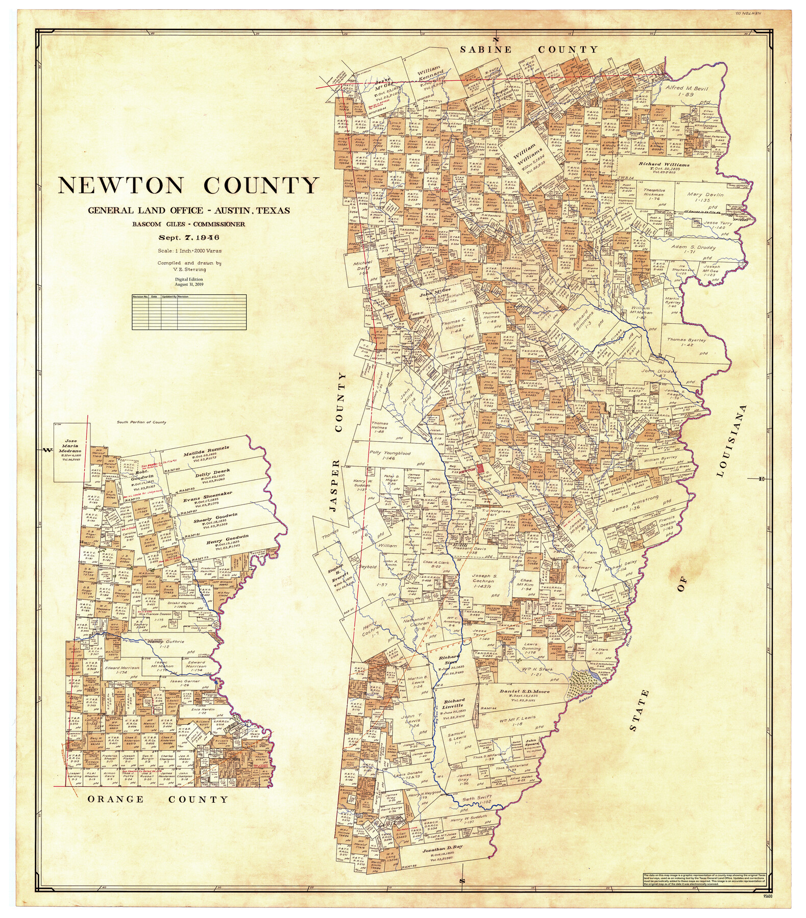
Newton County
General Land Office Official County Map
-
Map/Doc
95600
-
Collection
General Map Collection
-
Object Dates
2019/8/31 (Revision Date)
1946/9/7 (Creation Date)
-
People and Organizations
Cheyenne Betancourt (Draftsman)
Victor E. Sterzing (Draftsman)
Victor E. Sterzing (Compiler)
Bascom Giles (GLO Commissioner)
-
Counties
Newton
-
Subjects
County OCM
-
Height x Width
49.7 x 43.6 inches
126.2 x 110.7 cm
-
Medium
digital image
-
Scale
1" = 2000 varas
Part of: General Map Collection
DeWitt County Working Sketch 16

Print $20.00
- Digital $50.00
DeWitt County Working Sketch 16
1920
Size 23.0 x 25.1 inches
Map/Doc 69016
Nueces County Rolled Sketch 19

Print $20.00
- Digital $50.00
Nueces County Rolled Sketch 19
1920
Size 22.5 x 32.7 inches
Map/Doc 6872
Brown County Working Sketch 20

Print $20.00
- Digital $50.00
Brown County Working Sketch 20
2011
Size 32.8 x 34.8 inches
Map/Doc 89999

Nueces County NRC Article 33.136 Sketch 7

Print $82.00
- Digital $50.00
Nueces County NRC Article 33.136 Sketch 7
2004
Size 32.7 x 47.0 inches
Map/Doc 81932
Webb County Sketch File 5

Print $8.00
- Digital $50.00
Webb County Sketch File 5
1876
Size 12.8 x 8.1 inches
Map/Doc 39725

Amistad International Reservoir on Rio Grande 77

Print $20.00
- Digital $50.00
Amistad International Reservoir on Rio Grande 77
1949
Size 28.5 x 40.2 inches
Map/Doc 75505
Brewster County Rolled Sketch 139

Print $20.00
- Digital $50.00
Brewster County Rolled Sketch 139
1982
Size 24.4 x 38.0 inches
Map/Doc 5307
Mineral Locality Map of Texas Showing Occurances of Useful Minerals, Rocks, Oil and Gas, and Other Geologic Substances

Print $40.00
- Digital $50.00
Mineral Locality Map of Texas Showing Occurances of Useful Minerals, Rocks, Oil and Gas, and Other Geologic Substances
1945
Size 43.8 x 53.0 inches
Map/Doc 94140
Culberson County Rolled Sketch 57

Print $40.00
- Digital $50.00
Culberson County Rolled Sketch 57
1967
Size 76.9 x 44.2 inches
Map/Doc 8758
Cochran County Working Sketch Graphic Index

Print $20.00
- Digital $50.00
Cochran County Working Sketch Graphic Index
1946
Size 31.9 x 23.9 inches
Map/Doc 76495
You may also like
Jeff Davis County Rolled Sketch 8

Print $20.00
- Digital $50.00
Jeff Davis County Rolled Sketch 8
Size 40.0 x 41.6 inches
Map/Doc 9264
Crockett County Sketch File 99

Print $14.00
- Digital $50.00
Crockett County Sketch File 99
1925
Size 14.4 x 9.4 inches
Map/Doc 19980
Hale County Sketch File 9

Print $14.00
- Digital $50.00
Hale County Sketch File 9
1893
Size 6.1 x 2.6 inches
Map/Doc 24730
Map of Brett Ranch situated in McMullen & La Salle Counties

Print $20.00
- Digital $50.00
Map of Brett Ranch situated in McMullen & La Salle Counties
Size 20.0 x 22.3 inches
Map/Doc 5068
Webb County Working Sketch 31

Print $20.00
- Digital $50.00
Webb County Working Sketch 31
1937
Size 23.2 x 26.0 inches
Map/Doc 72396
Flight Mission No. BRA-7M, Frame 141, Jefferson County

Print $20.00
- Digital $50.00
Flight Mission No. BRA-7M, Frame 141, Jefferson County
1953
Size 18.6 x 22.4 inches
Map/Doc 85535
Armstrong County

Print $20.00
- Digital $50.00
Armstrong County
1904
Size 45.7 x 40.6 inches
Map/Doc 4876
Flight Mission No. BQY-15M, Frame 10, Harris County

Print $20.00
- Digital $50.00
Flight Mission No. BQY-15M, Frame 10, Harris County
1953
Size 18.5 x 22.3 inches
Map/Doc 85308
Flight Mission No. CLL-4N, Frame 33, Willacy County

Print $20.00
- Digital $50.00
Flight Mission No. CLL-4N, Frame 33, Willacy County
1954
Size 18.3 x 22.0 inches
Map/Doc 87106
Wharton County Sketch File 10

Print $4.00
- Digital $50.00
Wharton County Sketch File 10
1882
Size 10.9 x 8.5 inches
Map/Doc 39931
General Highway Map, Lamb County, Texas

Print $20.00
General Highway Map, Lamb County, Texas
1940
Size 24.7 x 18.3 inches
Map/Doc 79168
Galveston County NRC Article 33.136 Location Key Sheet

Print $20.00
- Digital $50.00
Galveston County NRC Article 33.136 Location Key Sheet
1994
Size 27.0 x 23.0 inches
Map/Doc 77018