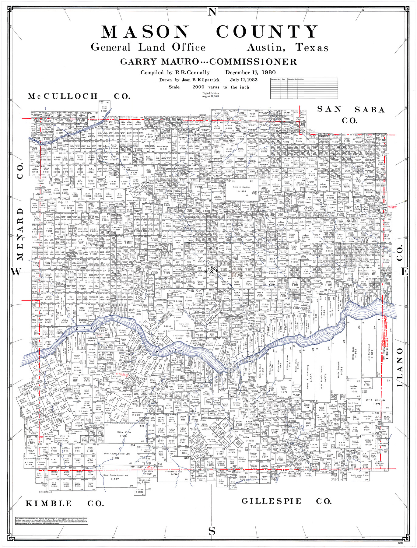
Mason County
General Land Office Official County Map
-
Map/Doc
95581
-
Collection
General Map Collection
-
Object Dates
8/31/2019 (Revision Date)
12/17/1980 (Creation Date)
7/12/1983 (Revision Date)
-
People and Organizations
Cheyenne Betancourt (Draftsman)
Garry Mauro (GLO Commissioner)
Joan Kilpatrick (Draftsman)
Preston R. Connally (Compiler)
-
Counties
Mason
-
Subjects
County OCM
-
Height x Width
48.1 x 36.9 inches
122.2 x 93.7 cm
-
Medium
digital image
-
Scale
1" = 2000 varas
Part of: General Map Collection
Coke County Sketch File 22

Print $20.00
- Digital $50.00
Coke County Sketch File 22
1923
Size 22.1 x 27.8 inches
Map/Doc 11111

Old Miscellaneous File 9

Print $4.00
- Digital $50.00
Old Miscellaneous File 9
1871
Size 9.8 x 8.0 inches
Map/Doc 75433
Flight Mission No. DQO-6K, Frame 22, Galveston County

Print $20.00
- Digital $50.00
Flight Mission No. DQO-6K, Frame 22, Galveston County
1952
Size 18.8 x 22.4 inches
Map/Doc 85095
Chambers County Aerial Photograph Index Sheet 2

Print $20.00
- Digital $50.00
Chambers County Aerial Photograph Index Sheet 2
1956
Size 19.4 x 15.7 inches
Map/Doc 83683
United States Gulf Coast - from Galveston to the Rio Grande

Print $20.00
- Digital $50.00
United States Gulf Coast - from Galveston to the Rio Grande
1915
Size 26.6 x 18.3 inches
Map/Doc 72734
Culberson County Working Sketch 71

Print $40.00
- Digital $50.00
Culberson County Working Sketch 71
1975
Size 48.4 x 32.9 inches
Map/Doc 68525
[Surveys along the Trinity River]
![330, [Surveys along the Trinity River], General Map Collection](https://historictexasmaps.com/wmedia_w700/maps/330.tif.jpg)
Print $2.00
- Digital $50.00
[Surveys along the Trinity River]
1846
Size 9.0 x 12.2 inches
Map/Doc 330

Louisiana and Texas Intracoastal Waterway, Section 7, Galveston Bay to Brazos River and Section 8, Brazos River to Matagorda Bay

Print $20.00
- Digital $50.00
Louisiana and Texas Intracoastal Waterway, Section 7, Galveston Bay to Brazos River and Section 8, Brazos River to Matagorda Bay
1937
Size 30.7 x 42.7 inches
Map/Doc 73064
Baylor County Sketch File AA

Print $40.00
- Digital $50.00
Baylor County Sketch File AA
1879
Size 15.9 x 27.9 inches
Map/Doc 10910
Glasscock County Sketch File 21

Print $20.00
- Digital $50.00
Glasscock County Sketch File 21
1936
Size 23.1 x 20.3 inches
Map/Doc 11564
You may also like
Deaf Smith County Sketch File 8

Print $20.00
- Digital $50.00
Deaf Smith County Sketch File 8
1988
Size 24.3 x 32.9 inches
Map/Doc 11304
Montgomery County Rolled Sketch 40A

Print $40.00
- Digital $50.00
Montgomery County Rolled Sketch 40A
1970
Size 40.4 x 57.5 inches
Map/Doc 9547
Newton County Sketch File 47

Print $20.00
- Digital $50.00
Newton County Sketch File 47
1932
Size 18.9 x 21.9 inches
Map/Doc 42159
Flight Mission No. DQN-1K, Frame 123, Calhoun County

Print $20.00
- Digital $50.00
Flight Mission No. DQN-1K, Frame 123, Calhoun County
1953
Size 18.4 x 22.2 inches
Map/Doc 84189
Yoakum-Terry County Sketch

Print $20.00
- Digital $50.00
Yoakum-Terry County Sketch
Size 9.6 x 27.5 inches
Map/Doc 92932

Map of Young County

Print $20.00
- Digital $50.00
Map of Young County
1897
Size 44.1 x 37.9 inches
Map/Doc 63140
Swisher County Sketch File 2b

Print $4.00
- Digital $50.00
Swisher County Sketch File 2b
1910
Size 11.2 x 8.7 inches
Map/Doc 37616

Shelby County Sketch File 17

Print $10.00
- Digital $50.00
Shelby County Sketch File 17
Size 8.2 x 9.5 inches
Map/Doc 36631
Starr County Sketch File 28

Print $12.00
- Digital $50.00
Starr County Sketch File 28
1933
Size 11.2 x 8.8 inches
Map/Doc 36948
Smith County Working Sketch 6

Print $20.00
- Digital $50.00
Smith County Working Sketch 6
1940
Size 15.7 x 25.7 inches
Map/Doc 63891