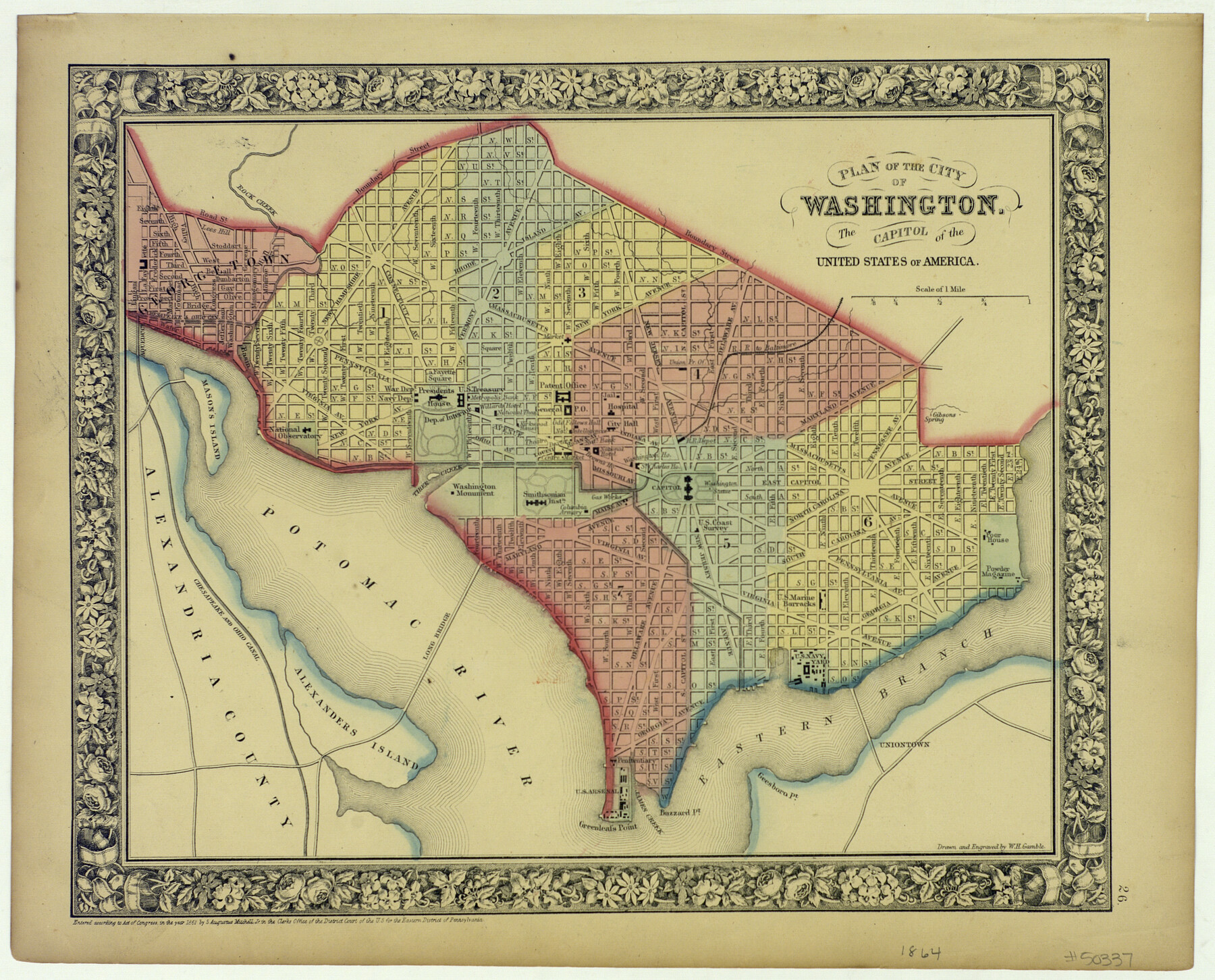
Plan of the City of Washington the Capitol of the United States of America
-
Map/Doc
94475
-
Collection
Non-GLO Digital Images
-
Object Dates
[1863] (Creation Date)
-
People and Organizations
Samuel Augustus Mitchell Jr. (Publisher)
W.H. Gamble (Printer)
W.H. Gamble (Draftsman)
W.H. Gamble (Engraver)
-
Subjects
City
-
Height x Width
12.7 x 15.8 inches
32.3 x 40.1 cm
-
Medium
paper, etching/engraving/lithograph
-
Comments
Image provided by James Harkins.
Map is from an atlas produced and published by Samuel Augustus Mitchell, Jr.
Part of: Non-GLO Digital Images
Mapa Geográphico de la Provincia de Tejas

Mapa Geográphico de la Provincia de Tejas
1822
Size 9.8 x 12.7 inches
Map/Doc 94457
Map of Texas and the Countries Adjacent

Map of Texas and the Countries Adjacent
1844
Size 19.0 x 29.6 inches
Map/Doc 94561
The Official Map of the City of El Paso, State of Texas

Print $20.00
The Official Map of the City of El Paso, State of Texas
1889
Size 42.1 x 49.6 inches
Map/Doc 89616
The Official Map of the City of El Paso, State of Texas

Print $40.00
The Official Map of the City of El Paso, State of Texas
1889
Size 83.6 x 97.2 inches
Map/Doc 89619
Honey Grove, Tex., Fannin County, 1886

Print $20.00
Honey Grove, Tex., Fannin County, 1886
1886
Size 15.9 x 22.2 inches
Map/Doc 89091
Plano, Collin County, Texas

Print $20.00
Plano, Collin County, Texas
1891
Size 12.8 x 22.6 inches
Map/Doc 93758

Oldham County Surveyor's Oath of Office

Print $3.00
Oldham County Surveyor's Oath of Office
1881
Size 15.2 x 9.7 inches
Map/Doc 47716
Mapa original de Texas por el Ciudadano Estevan F. Austin Presentado al Excmo. Sr. Presidente, por su Autor

Mapa original de Texas por el Ciudadano Estevan F. Austin Presentado al Excmo. Sr. Presidente, por su Autor
1830
Size 31.6 x 25.4 inches
Map/Doc 94562
[Movements & Objectives of the 143rd & 144th Infantry on October 13, 1918, Appendix L]
![94124, [Movements & Objectives of the 143rd & 144th Infantry on October 13, 1918, Appendix L], Non-GLO Digital Images](https://historictexasmaps.com/wmedia_w700/maps/94124-1.tif.jpg)
Print $20.00
[Movements & Objectives of the 143rd & 144th Infantry on October 13, 1918, Appendix L]
1918
Size 16.1 x 16.8 inches
Map/Doc 94124
Outline of the Geology of the Globe

Print $20.00
Outline of the Geology of the Globe
1853
Size 19.3 x 23.6 inches
Map/Doc 95282
Carta Esférica del Seno Mexicano y Canales Viexo y de Bama

Carta Esférica del Seno Mexicano y Canales Viexo y de Bama
1797
Size 26.7 x 47.1 inches
Map/Doc 94569
You may also like
The Mexican Municipality of San Augustine. December 15, 1835

Print $20.00
The Mexican Municipality of San Augustine. December 15, 1835
2020
Size 24.1 x 21.7 inches
Map/Doc 96033
Jim Hogg County Rolled Sketch 5

Print $20.00
- Digital $50.00
Jim Hogg County Rolled Sketch 5
1943
Size 19.9 x 24.1 inches
Map/Doc 6441
Jackson County

Print $20.00
- Digital $50.00
Jackson County
1920
Size 45.9 x 39.1 inches
Map/Doc 73191
Matagorda County State Real Property Sketch 1

Print $20.00
- Digital $50.00
Matagorda County State Real Property Sketch 1
1989
Size 19.1 x 25.2 inches
Map/Doc 95171
Atlas Geográfico, Estadístico é Histórico de la República Mexicana

Atlas Geográfico, Estadístico é Histórico de la República Mexicana
Map/Doc 95689
Frio County Working Sketch 1

Print $20.00
- Digital $50.00
Frio County Working Sketch 1
1906
Size 19.0 x 23.2 inches
Map/Doc 69275
Lynn County Sketch File 2

Print $5.00
- Digital $50.00
Lynn County Sketch File 2
1902
Size 11.6 x 17.1 inches
Map/Doc 30447
Controlled Mosaic by Jack Amman Photogrammetric Engineers, Inc - Sheet 23

Print $20.00
- Digital $50.00
Controlled Mosaic by Jack Amman Photogrammetric Engineers, Inc - Sheet 23
1954
Size 20.0 x 24.0 inches
Map/Doc 83473
Panola County Sketch File 20

Print $22.00
- Digital $50.00
Panola County Sketch File 20
Size 8.3 x 14.6 inches
Map/Doc 33485
[State Capitol Leagues and County School Leagues]
![92475, [State Capitol Leagues and County School Leagues], Twichell Survey Records](https://historictexasmaps.com/wmedia_w700/maps/92475-1.tif.jpg)
Print $20.00
- Digital $50.00
[State Capitol Leagues and County School Leagues]
Size 19.4 x 11.8 inches
Map/Doc 92475
United States - Gulf Coast - From Latitude 26° 33' to the Rio Grande Texas

Print $20.00
- Digital $50.00
United States - Gulf Coast - From Latitude 26° 33' to the Rio Grande Texas
1918
Size 27.7 x 18.2 inches
Map/Doc 72850
Sterling County Working Sketch 4

Print $40.00
- Digital $50.00
Sterling County Working Sketch 4
1950
Size 49.7 x 42.5 inches
Map/Doc 63986