[State Capitol Leagues and County School Leagues]
BY115
-
Map/Doc
92475
-
Collection
Twichell Survey Records
-
Counties
Bailey
-
Height x Width
19.4 x 11.8 inches
49.3 x 30.0 cm
Part of: Twichell Survey Records
Laneer vs. Bivins, Potter County, Texas


Print $20.00
- Digital $50.00
Laneer vs. Bivins, Potter County, Texas
Size 21.2 x 18.8 inches
Map/Doc 93100
[Sketch Showing Wm. T. Brewer, John R. Taylor, Wm. F. Butler, Timothy DeVore, L. M. Thorn and adjoining surveys]
![90209, [Sketch Showing Wm. T. Brewer, John R. Taylor, Wm. F. Butler, Timothy DeVore, L. M. Thorn and adjoining surveys], Twichell Survey Records](https://historictexasmaps.com/wmedia_w700/maps/90209-1.tif.jpg)
![90209, [Sketch Showing Wm. T. Brewer, John R. Taylor, Wm. F. Butler, Timothy DeVore, L. M. Thorn and adjoining surveys], Twichell Survey Records](https://historictexasmaps.com/wmedia_w700/maps/90209-1.tif.jpg)
Print $20.00
- Digital $50.00
[Sketch Showing Wm. T. Brewer, John R. Taylor, Wm. F. Butler, Timothy DeVore, L. M. Thorn and adjoining surveys]
Size 20.2 x 36.6 inches
Map/Doc 90209
[Blocks K3-K8, K11]
![90611, [Blocks K3-K8, K11], Twichell Survey Records](https://historictexasmaps.com/wmedia_w700/maps/90611-1.tif.jpg)
![90611, [Blocks K3-K8, K11], Twichell Survey Records](https://historictexasmaps.com/wmedia_w700/maps/90611-1.tif.jpg)
Print $20.00
- Digital $50.00
[Blocks K3-K8, K11]
Size 16.8 x 17.2 inches
Map/Doc 90611
[G. W. Carlisle Waco Manufacturing Co. Block 1]
![90669, [G. W. Carlisle Waco Manufacturing Co. Block 1], Twichell Survey Records](https://historictexasmaps.com/wmedia_w700/maps/90669-1.tif.jpg)
![90669, [G. W. Carlisle Waco Manufacturing Co. Block 1], Twichell Survey Records](https://historictexasmaps.com/wmedia_w700/maps/90669-1.tif.jpg)
Print $2.00
- Digital $50.00
[G. W. Carlisle Waco Manufacturing Co. Block 1]
Size 8.4 x 10.9 inches
Map/Doc 90669
[Blocks M18, M23, I, Z, and Block 47, Sections 16-28]
![91244, [Blocks M18, M23, I, Z, and Block 47, Sections 16-28], Twichell Survey Records](https://historictexasmaps.com/wmedia_w700/maps/91244-1.tif.jpg)
![91244, [Blocks M18, M23, I, Z, and Block 47, Sections 16-28], Twichell Survey Records](https://historictexasmaps.com/wmedia_w700/maps/91244-1.tif.jpg)
Print $20.00
- Digital $50.00
[Blocks M18, M23, I, Z, and Block 47, Sections 16-28]
Size 19.5 x 23.6 inches
Map/Doc 91244
Gaines County, Texas
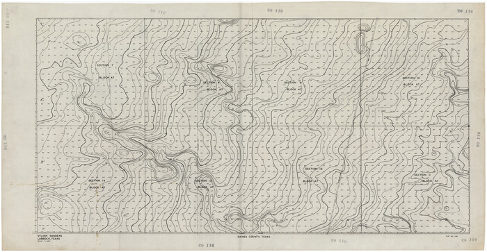

Print $40.00
- Digital $50.00
Gaines County, Texas
Size 60.0 x 31.3 inches
Map/Doc 89684
Map of T. C. Spearman's Lands in Gaines, Terry & Yoakum Counties, Texas
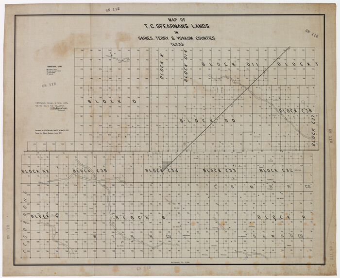

Print $20.00
- Digital $50.00
Map of T. C. Spearman's Lands in Gaines, Terry & Yoakum Counties, Texas
1917
Size 46.0 x 37.6 inches
Map/Doc 89842
Crosbyton (Jeff Williams Plan)


Print $20.00
- Digital $50.00
Crosbyton (Jeff Williams Plan)
Size 26.0 x 18.2 inches
Map/Doc 92126
Wellman Townsite Showing Survey 17


Print $3.00
- Digital $50.00
Wellman Townsite Showing Survey 17
Size 12.4 x 11.9 inches
Map/Doc 92885
[Block 1, B. S. & F.]
![90492, [Block 1, B. S. & F.], Twichell Survey Records](https://historictexasmaps.com/wmedia_w700/maps/90492-1.tif.jpg)
![90492, [Block 1, B. S. & F.], Twichell Survey Records](https://historictexasmaps.com/wmedia_w700/maps/90492-1.tif.jpg)
Print $2.00
- Digital $50.00
[Block 1, B. S. & F.]
1904
Size 8.3 x 10.5 inches
Map/Doc 90492
Bravo Deed, Instrument 24, Tract A and Tract B
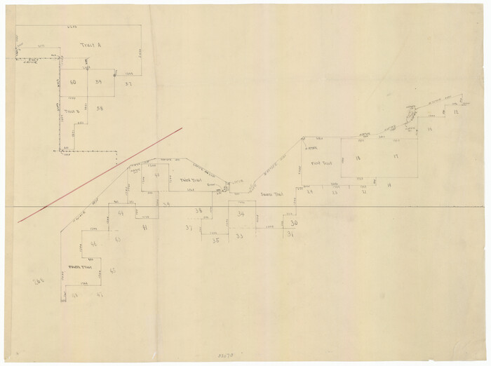

Digital $50.00
Bravo Deed, Instrument 24, Tract A and Tract B
Map/Doc 91480
Spade Ranch Hockley County, Texas


Print $20.00
- Digital $50.00
Spade Ranch Hockley County, Texas
1948
Size 14.2 x 19.0 inches
Map/Doc 92225
You may also like
La Salle County Sketch File 28a
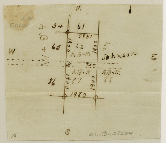

Print $6.00
- Digital $50.00
La Salle County Sketch File 28a
1898
Size 4.5 x 5.2 inches
Map/Doc 29558
Garza County Sketch File 11
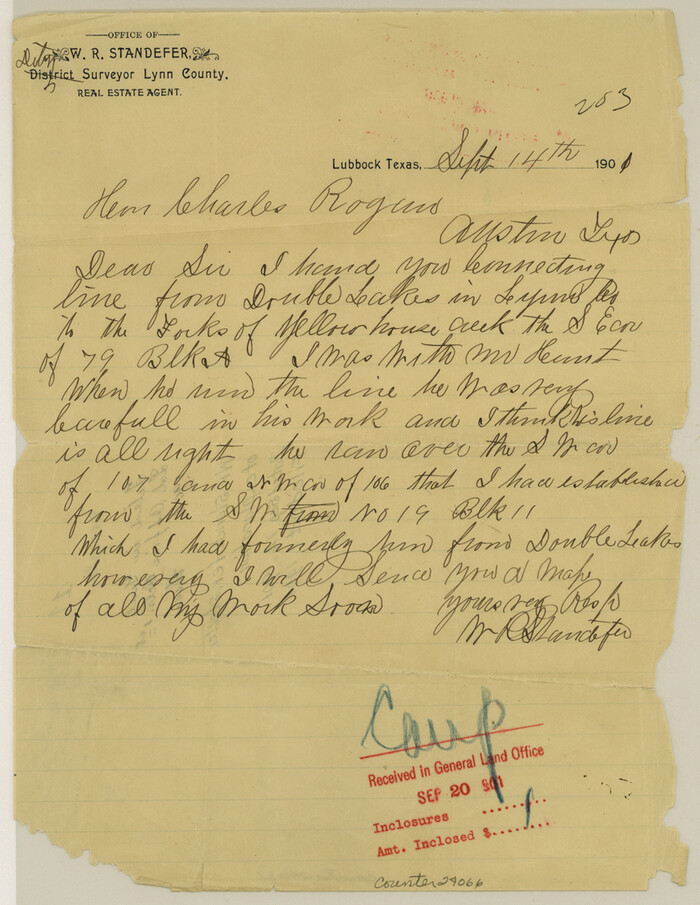

Print $4.00
- Digital $50.00
Garza County Sketch File 11
1901
Size 11.3 x 8.8 inches
Map/Doc 24066
General Highway Map, Gaines County, Texas
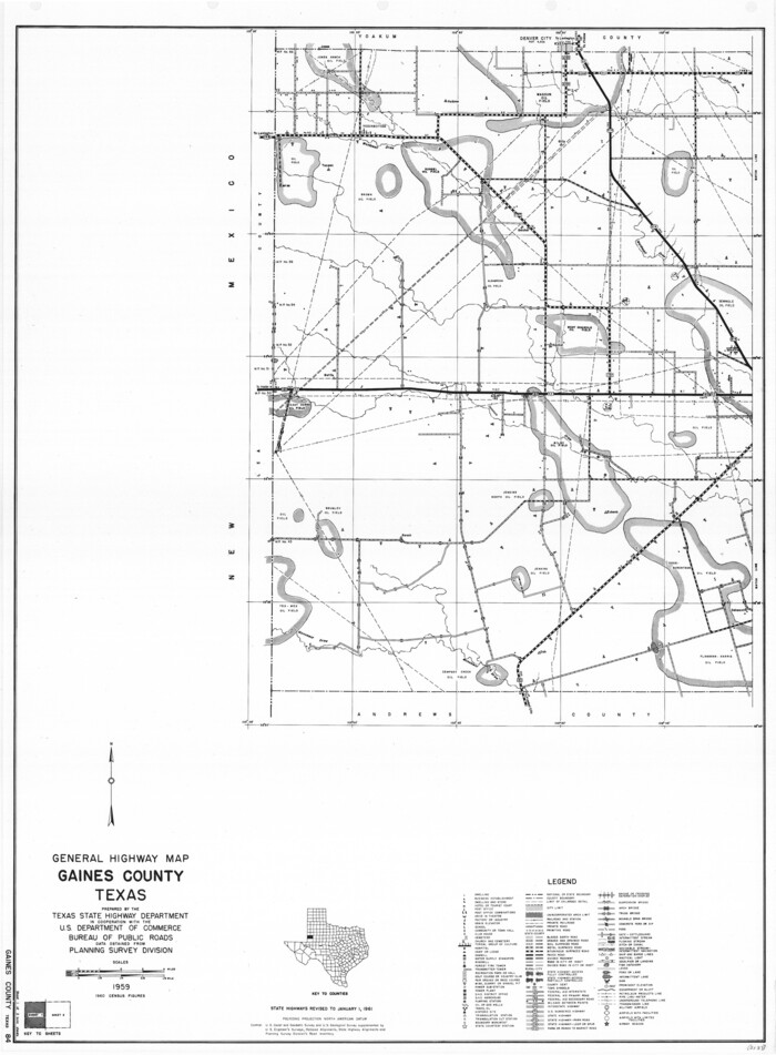

Print $20.00
General Highway Map, Gaines County, Texas
1961
Size 24.6 x 18.1 inches
Map/Doc 79474
Houston, Texas (Looking South)
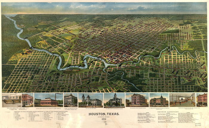

Print $20.00
Houston, Texas (Looking South)
1891
Size 41.1 x 25.3 inches
Map/Doc 93465
Loving County Rolled Sketch 19
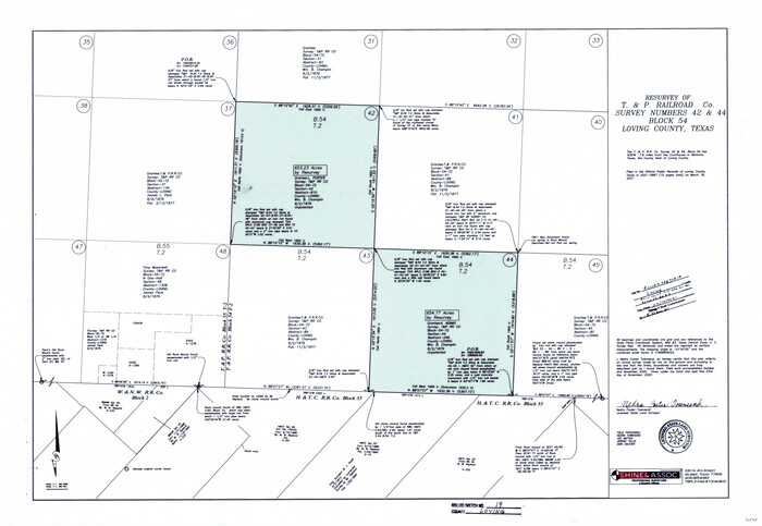

Print $20.00
- Digital $50.00
Loving County Rolled Sketch 19
2020
Size 24.4 x 35.3 inches
Map/Doc 96575
[Surveys in the Bexar District along the Balcones, Cibolo and Leon Creeks]
![63, [Surveys in the Bexar District along the Balcones, Cibolo and Leon Creeks], General Map Collection](https://historictexasmaps.com/wmedia_w700/maps/63.tif.jpg)
![63, [Surveys in the Bexar District along the Balcones, Cibolo and Leon Creeks], General Map Collection](https://historictexasmaps.com/wmedia_w700/maps/63.tif.jpg)
Print $3.00
- Digital $50.00
[Surveys in the Bexar District along the Balcones, Cibolo and Leon Creeks]
1842
Size 10.6 x 12.4 inches
Map/Doc 63
Presidio County Working Sketch 137


Print $20.00
- Digital $50.00
Presidio County Working Sketch 137
1990
Size 24.1 x 42.8 inches
Map/Doc 71815
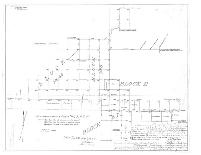
Hutchinson County Rolled Sketch 22

Print $20.00
- Digital $50.00
Hutchinson County Rolled Sketch 22
1914
Size 29.3 x 38.0 inches
Map/Doc 6287
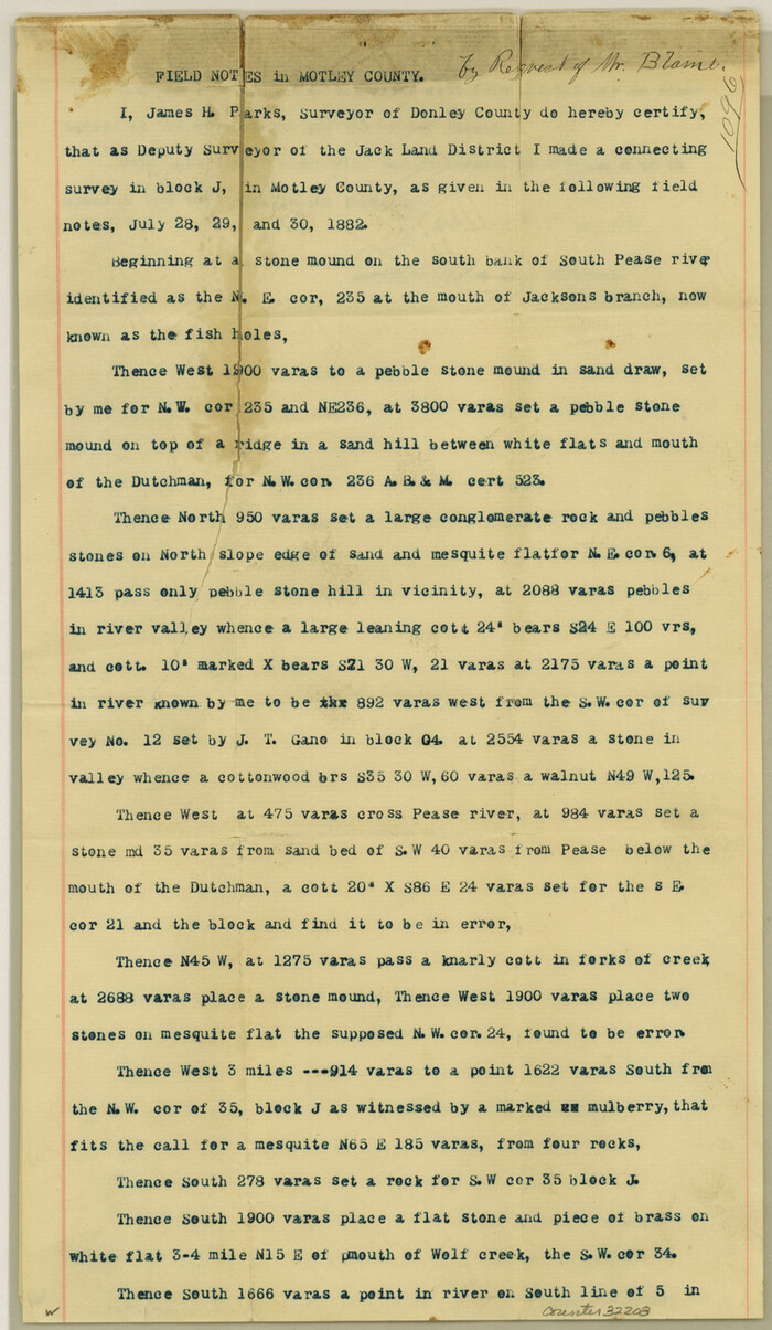
Motley County Sketch File 27 (S)

Print $6.00
- Digital $50.00
Motley County Sketch File 27 (S)
Size 14.3 x 8.3 inches
Map/Doc 32208
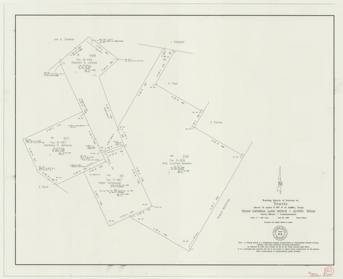
Travis County Working Sketch 63

Print $20.00
- Digital $50.00
Travis County Working Sketch 63
1998
Size 24.0 x 29.5 inches
Map/Doc 69447
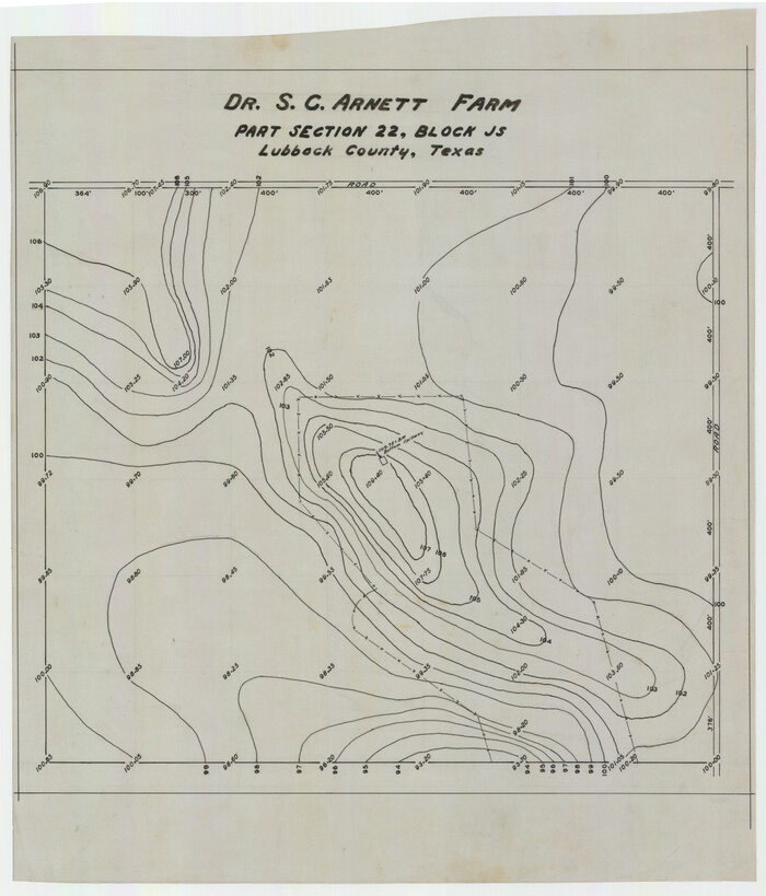
Dr. S. C. Arnett Farm Part Section 22, Block JS

Print $20.00
- Digital $50.00
Dr. S. C. Arnett Farm Part Section 22, Block JS
Size 16.0 x 18.7 inches
Map/Doc 92306
Plat of a survey of the North part of section 16, Block 362, Martha McBride, Presidio County, Texas


Print $20.00
- Digital $50.00
Plat of a survey of the North part of section 16, Block 362, Martha McBride, Presidio County, Texas
1989
Size 24.3 x 36.1 inches
Map/Doc 60523
![92475, [State Capitol Leagues and County School Leagues], Twichell Survey Records](https://historictexasmaps.com/wmedia_w1800h1800/maps/92475-1.tif.jpg)