Texas [Verso]
[Western part of Highway Map of Texas / Insets: El Paso Texas; Map Key and Mileage Chart]
-
Map/Doc
94186
-
Collection
General Map Collection
-
Object Dates
1961 (Creation Date)
-
People and Organizations
The H.M. Gousha Company (Publisher)
James Harkins (Donor)
-
Subjects
State of Texas
-
Height x Width
27.0 x 18.2 inches
68.6 x 46.2 cm
-
Medium
paper, etching/engraving/lithograph
-
Comments
For reference/research purposes only. Promotional map of Texas sponsored by Phillips Petroleum Company. Donated by James Harkins. See 94185 for recto.
Related maps
Part of: General Map Collection
Armstrong County


Print $20.00
- Digital $50.00
Armstrong County
1933
Size 44.0 x 41.3 inches
Map/Doc 1773
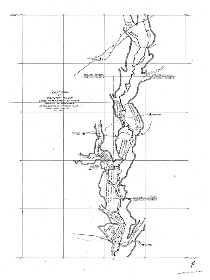
Trinity River, Levee Improvement Districts, Widths of Floodways

Print $4.00
- Digital $50.00
Trinity River, Levee Improvement Districts, Widths of Floodways
1919
Size 23.5 x 17.6 inches
Map/Doc 65250
[Plat No. 1, Connecting line from SW corner of Jones Co. to SE corner of Borden Co.]
![1698, [Plat No. 1, Connecting line from SW corner of Jones Co. to SE corner of Borden Co.], General Map Collection](https://historictexasmaps.com/wmedia_w700/maps/1698.tif.jpg)
![1698, [Plat No. 1, Connecting line from SW corner of Jones Co. to SE corner of Borden Co.], General Map Collection](https://historictexasmaps.com/wmedia_w700/maps/1698.tif.jpg)
Print $40.00
- Digital $50.00
[Plat No. 1, Connecting line from SW corner of Jones Co. to SE corner of Borden Co.]
1908
Size 18.1 x 128.8 inches
Map/Doc 1698
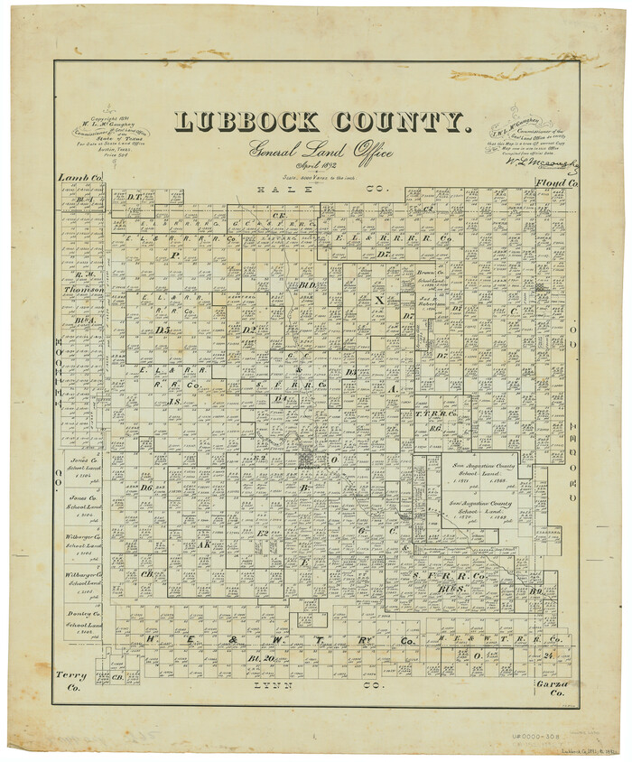
Lubbock County

Print $20.00
- Digital $50.00
Lubbock County
1892
Size 25.0 x 20.6 inches
Map/Doc 66910
Hidalgo County Rolled Sketch 17


Print $40.00
- Digital $50.00
Hidalgo County Rolled Sketch 17
1963
Size 68.4 x 42.9 inches
Map/Doc 9172
Flight Mission No. DCL-6C, Frame 112, Kenedy County

Print $20.00
- Digital $50.00
Flight Mission No. DCL-6C, Frame 112, Kenedy County
1943
Size 15.4 x 15.5 inches
Map/Doc 85942
Maps of Gulf Intracoastal Waterway, Texas - Sabine River to the Rio Grande and connecting waterways including ship channels


Print $20.00
- Digital $50.00
Maps of Gulf Intracoastal Waterway, Texas - Sabine River to the Rio Grande and connecting waterways including ship channels
1966
Size 14.3 x 20.7 inches
Map/Doc 61998
Flight Mission No. CRC-3R, Frame 103, Chambers County

Print $20.00
- Digital $50.00
Flight Mission No. CRC-3R, Frame 103, Chambers County
1956
Size 18.7 x 22.4 inches
Map/Doc 84841
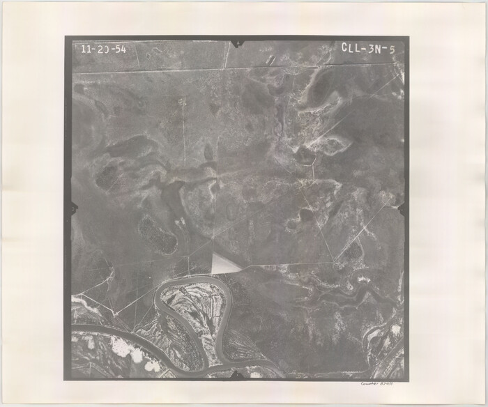
Flight Mission No. CLL-3N, Frame 5, Willacy County

Print $20.00
- Digital $50.00
Flight Mission No. CLL-3N, Frame 5, Willacy County
1954
Size 18.4 x 22.1 inches
Map/Doc 87071
Uvalde County Sketch File 7


Print $6.00
- Digital $50.00
Uvalde County Sketch File 7
Size 14.5 x 11.4 inches
Map/Doc 38962
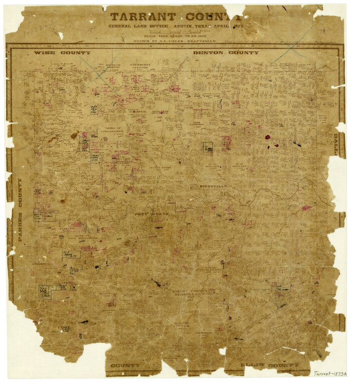
Tarrant County

Print $20.00
- Digital $50.00
Tarrant County
1873
Size 19.1 x 17.5 inches
Map/Doc 4065
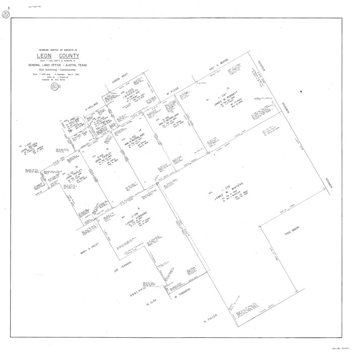
Leon County Working Sketch 52b

Print $20.00
- Digital $50.00
Leon County Working Sketch 52b
1982
Size 33.6 x 33.5 inches
Map/Doc 70452
You may also like
McLennan County Sketch File 30


Print $4.00
- Digital $50.00
McLennan County Sketch File 30
Size 8.4 x 7.4 inches
Map/Doc 31304
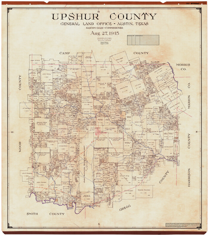
Upshur County

Print $20.00
- Digital $50.00
Upshur County
1945
Size 39.9 x 35.3 inches
Map/Doc 95658
Hunt County Working Sketch 3
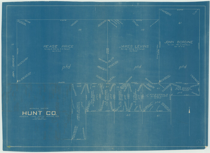

Print $20.00
- Digital $50.00
Hunt County Working Sketch 3
1923
Size 20.6 x 28.2 inches
Map/Doc 66350
Travis County State Real Property Sketch 16
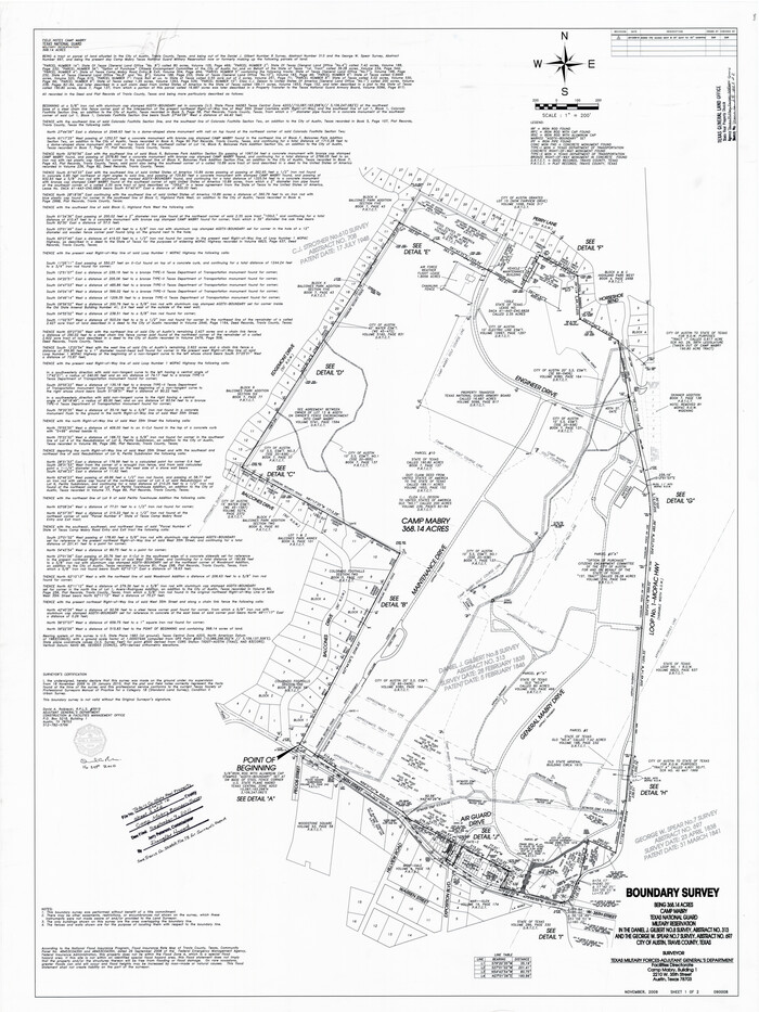

Print $20.00
- Digital $50.00
Travis County State Real Property Sketch 16
2009
Size 48.1 x 36.1 inches
Map/Doc 90086
Terrell County Rolled Sketch 21
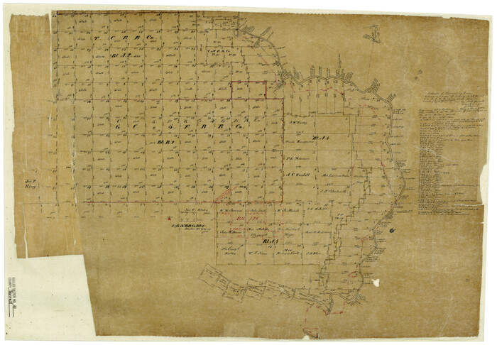

Print $20.00
- Digital $50.00
Terrell County Rolled Sketch 21
Size 19.1 x 27.7 inches
Map/Doc 7929
Swisher County Sketch File 1b
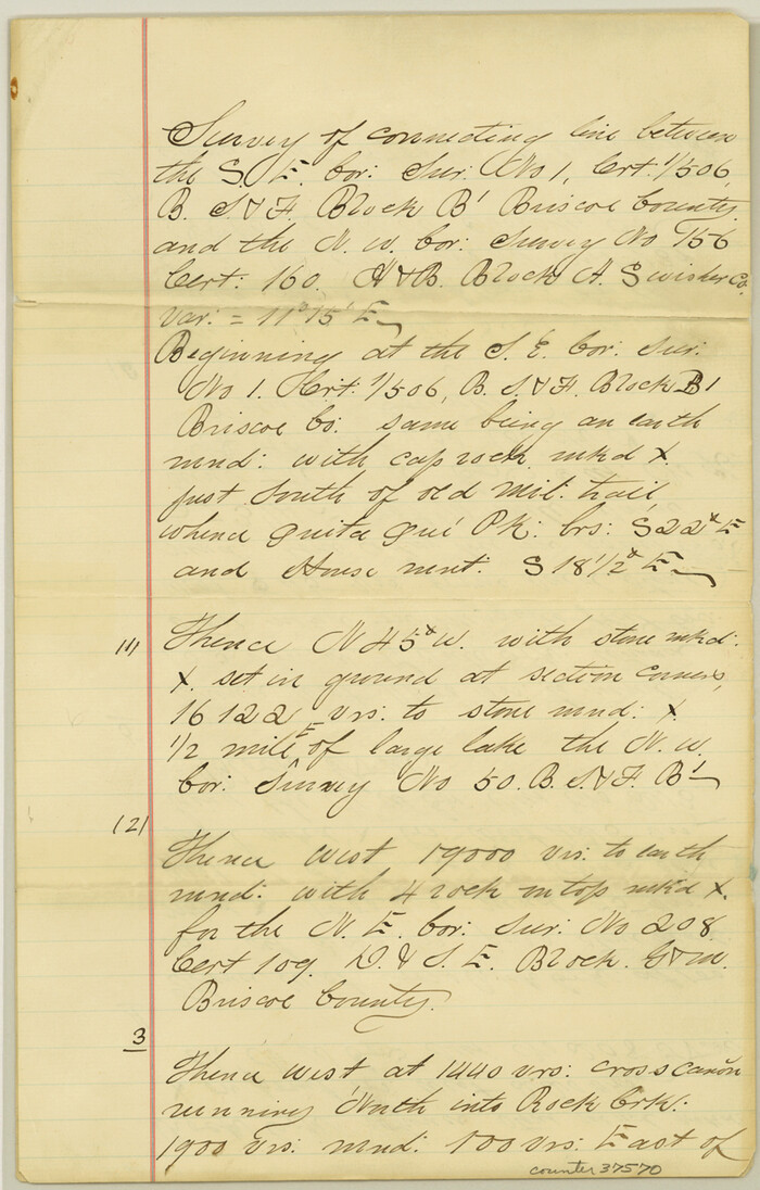

Print $8.00
- Digital $50.00
Swisher County Sketch File 1b
1884
Size 12.8 x 8.2 inches
Map/Doc 37570
Johnson County Working Sketch 2


Print $20.00
- Digital $50.00
Johnson County Working Sketch 2
Size 20.8 x 20.2 inches
Map/Doc 66615
Cass County Working Sketch 25


Print $20.00
- Digital $50.00
Cass County Working Sketch 25
1974
Size 46.5 x 35.8 inches
Map/Doc 67928
Montague County Working Sketch 33

Print $20.00
- Digital $50.00
Montague County Working Sketch 33
1976
Size 30.6 x 43.3 inches
Map/Doc 71099
Midland County Working Sketch 33


Print $20.00
- Digital $50.00
Midland County Working Sketch 33
1982
Size 38.2 x 36.2 inches
Map/Doc 71014
Flight Mission No. BRE-1P, Frame 121, Nueces County


Print $20.00
- Digital $50.00
Flight Mission No. BRE-1P, Frame 121, Nueces County
1956
Size 18.6 x 22.7 inches
Map/Doc 86687
Williamson County Sketch File 6

Print $4.00
- Digital $50.00
Williamson County Sketch File 6
1848
Size 12.8 x 8.1 inches
Map/Doc 40314
![94186, Texas [Verso], General Map Collection](https://historictexasmaps.com/wmedia_w1800h1800/maps/94186.tif.jpg)
![94185, Texas [Recto], General Map Collection](https://historictexasmaps.com/wmedia_w700/maps/94185.tif.jpg)