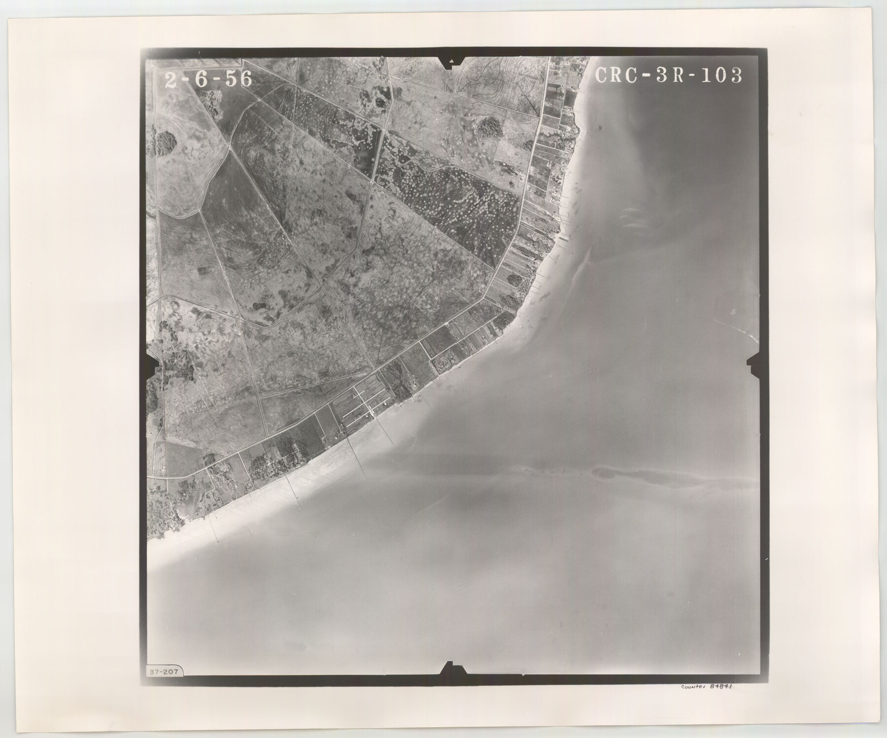
Flight Mission No. CRC-3R, Frame 103, Chambers County
CRC-3R-103
-
Map/Doc
84841
-
Collection
General Map Collection
-
Object Dates
1956/2/6 (Creation Date)
-
People and Organizations
U. S. Department of Agriculture (Publisher)
-
Counties
Chambers
-
Subjects
Aerial Photograph
-
Height x Width
18.7 x 22.4 inches
47.5 x 56.9 cm
-
Comments
Flown by Jack Ammann Photogrammetric Engineers, Inc. of San Antonio, Texas.
Part of: General Map Collection
Blanco County Working Sketch 10

Print $20.00
- Digital $50.00
Blanco County Working Sketch 10
1938
Size 28.3 x 25.8 inches
Map/Doc 67370
[Sketch for Mineral Application 33721 - 33725 Incl. - Padre and Mustang Island]
![2868, [Sketch for Mineral Application 33721 - 33725 Incl. - Padre and Mustang Island], General Map Collection](https://historictexasmaps.com/wmedia_w700/maps/2868.tif.jpg)
Print $20.00
- Digital $50.00
[Sketch for Mineral Application 33721 - 33725 Incl. - Padre and Mustang Island]
1942
Size 29.7 x 22.3 inches
Map/Doc 2868
Palo Pinto County Working Sketch 6

Print $20.00
- Digital $50.00
Palo Pinto County Working Sketch 6
1921
Map/Doc 71389
Uvalde County Working Sketch 54

Print $20.00
- Digital $50.00
Uvalde County Working Sketch 54
1983
Size 39.6 x 32.3 inches
Map/Doc 72124
Jefferson County Sketch File 28

Print $2.00
- Digital $50.00
Jefferson County Sketch File 28
1900
Size 9.2 x 8.6 inches
Map/Doc 28193
Hardeman County Sketch File 26

Print $40.00
- Digital $50.00
Hardeman County Sketch File 26
Size 16.3 x 13.2 inches
Map/Doc 25037
Glasscock County Working Sketch 5

Print $20.00
- Digital $50.00
Glasscock County Working Sketch 5
1926
Size 16.1 x 28.0 inches
Map/Doc 63178
McLennan County

Print $20.00
- Digital $50.00
McLennan County
1946
Size 42.5 x 45.8 inches
Map/Doc 73235
Hale County Boundary File 4

Print $40.00
- Digital $50.00
Hale County Boundary File 4
Size 8.8 x 4.2 inches
Map/Doc 54048
Mitchell County Working Sketch 9

Print $20.00
- Digital $50.00
Mitchell County Working Sketch 9
1987
Size 25.8 x 41.1 inches
Map/Doc 71066
Harris County Sketch File AA3

Print $8.00
- Digital $50.00
Harris County Sketch File AA3
Size 8.2 x 8.5 inches
Map/Doc 25326
Map of Red River County

Print $20.00
- Digital $50.00
Map of Red River County
1842
Size 25.2 x 23.1 inches
Map/Doc 78369
You may also like
Cottle County

Print $20.00
- Digital $50.00
Cottle County
1908
Size 43.9 x 39.0 inches
Map/Doc 66788
Kleberg County Rolled Sketch 8

Print $20.00
- Digital $50.00
Kleberg County Rolled Sketch 8
1947
Size 33.0 x 42.0 inches
Map/Doc 9360
Wharton County Working Sketch 19

Print $20.00
- Digital $50.00
Wharton County Working Sketch 19
1940
Size 21.4 x 23.0 inches
Map/Doc 72483
Travis County Sketch File 41

Print $22.00
- Digital $50.00
Travis County Sketch File 41
1928
Size 11.7 x 30.2 inches
Map/Doc 12465
Map of Llano County, Texas

Print $20.00
Map of Llano County, Texas
1879
Size 23.1 x 21.2 inches
Map/Doc 88970
Map of the Pitchfork Ranch

Print $20.00
- Digital $50.00
Map of the Pitchfork Ranch
1915
Size 39.7 x 35.6 inches
Map/Doc 75827
Marion County Working Sketch 38

Print $20.00
- Digital $50.00
Marion County Working Sketch 38
1991
Size 35.5 x 39.9 inches
Map/Doc 70814
Anderson County Sketch File 5

Print $6.00
- Digital $50.00
Anderson County Sketch File 5
1856
Size 9.7 x 7.8 inches
Map/Doc 12750
Randall County Sketch File 8

Print $20.00
- Digital $50.00
Randall County Sketch File 8
Size 18.1 x 23.1 inches
Map/Doc 12209
Corpus Christi Harbor

Print $40.00
- Digital $50.00
Corpus Christi Harbor
1975
Size 37.6 x 51.5 inches
Map/Doc 73479
Trinity County Sketch File 5a

Print $4.00
- Digital $50.00
Trinity County Sketch File 5a
1853
Size 6.9 x 8.0 inches
Map/Doc 38504
Controlled Mosaic by Jack Amman Photogrammetric Engineers, Inc - Sheet 28

Print $20.00
- Digital $50.00
Controlled Mosaic by Jack Amman Photogrammetric Engineers, Inc - Sheet 28
1954
Size 20.0 x 24.0 inches
Map/Doc 83479