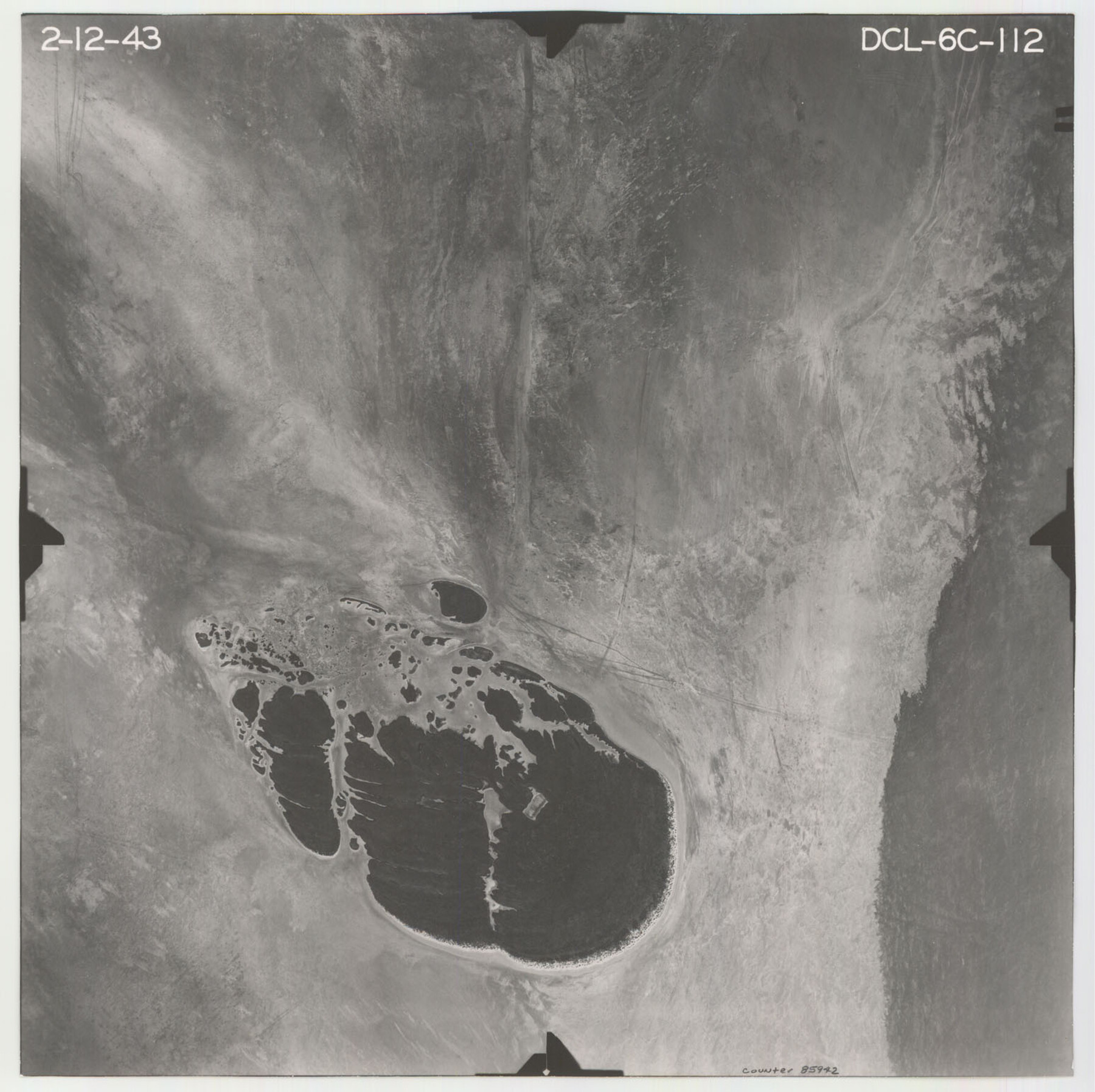
Flight Mission No. DCL-6C, Frame 112, Kenedy County
DCL-6C-112
-
Map/Doc
85942
-
Collection
General Map Collection
-
Object Dates
1943/2/12 (Creation Date)
-
People and Organizations
U. S. Department of Agriculture (Publisher)
-
Counties
Kenedy
-
Subjects
Aerial Photograph
-
Height x Width
15.4 x 15.5 inches
39.1 x 39.4 cm
-
Comments
Flown by Aerial Surveys of Pittsburgh, Inc. of Pittsburgh, Pennsylvania.
Part of: General Map Collection
Concho County Sketch File 1

Print $5.00
- Digital $50.00
Concho County Sketch File 1
1856
Size 5.0 x 6.6 inches
Map/Doc 19121
Frio County Working Sketch 20

Print $20.00
- Digital $50.00
Frio County Working Sketch 20
1985
Size 36.3 x 36.0 inches
Map/Doc 69294
Survey Gulf to Beaumont and Orange, Texas

Print $20.00
- Digital $50.00
Survey Gulf to Beaumont and Orange, Texas
1929
Size 29.3 x 41.7 inches
Map/Doc 3089
Reeves County Working Sketch 51

Print $20.00
- Digital $50.00
Reeves County Working Sketch 51
1974
Size 45.4 x 34.6 inches
Map/Doc 63494
Matagorda County Working Sketch 26

Print $20.00
- Digital $50.00
Matagorda County Working Sketch 26
1979
Size 14.1 x 19.5 inches
Map/Doc 70884
Map of the country in the vicinity of San Antonio de Bexar reduced in part from the county map of Bexar with additions by J. Edmd. Blake, 1st Lieut Topl. Engs.

Print $20.00
- Digital $50.00
Map of the country in the vicinity of San Antonio de Bexar reduced in part from the county map of Bexar with additions by J. Edmd. Blake, 1st Lieut Topl. Engs.
1845
Size 18.1 x 25.7 inches
Map/Doc 72722
Hardin County Sketch File 48

Print $20.00
- Digital $50.00
Hardin County Sketch File 48
Size 17.8 x 18.4 inches
Map/Doc 11634
Burnet County Sketch File 21

Print $4.00
- Digital $50.00
Burnet County Sketch File 21
Size 8.4 x 6.6 inches
Map/Doc 16714
Karnes County Sketch File 11

Print $4.00
- Digital $50.00
Karnes County Sketch File 11
1885
Size 10.5 x 8.1 inches
Map/Doc 28602
Jefferson County Rolled Sketch 28

Print $20.00
- Digital $50.00
Jefferson County Rolled Sketch 28
1948
Size 22.4 x 32.9 inches
Map/Doc 6391
National Map Company's New Road Survey of the United States Showing Main Highways

Print $20.00
- Digital $50.00
National Map Company's New Road Survey of the United States Showing Main Highways
Size 44.3 x 38.2 inches
Map/Doc 4674
Gregg County Working Sketch 15

Print $20.00
- Digital $50.00
Gregg County Working Sketch 15
1941
Size 24.8 x 29.5 inches
Map/Doc 63282
You may also like
Grimes County

Print $40.00
- Digital $50.00
Grimes County
1922
Size 55.7 x 28.2 inches
Map/Doc 77296
McMullen County Working Sketch 16

Print $20.00
- Digital $50.00
McMullen County Working Sketch 16
1940
Size 23.8 x 19.8 inches
Map/Doc 70717
Dawson County Rolled Sketch 13

Print $20.00
- Digital $50.00
Dawson County Rolled Sketch 13
1951
Size 18.9 x 25.4 inches
Map/Doc 5696
Armstrong County Working Sketch 4

Print $20.00
- Digital $50.00
Armstrong County Working Sketch 4
1918
Size 23.9 x 32.0 inches
Map/Doc 67235
Latest Map of the State of Texas

Print $20.00
Latest Map of the State of Texas
1888
Size 30.7 x 32.9 inches
Map/Doc 79747

Map of Callahan County

Print $20.00
- Digital $50.00
Map of Callahan County
1878
Size 23.0 x 18.8 inches
Map/Doc 3361
Hale County Boundary File 4a

Print $60.00
- Digital $50.00
Hale County Boundary File 4a
Size 31.2 x 41.9 inches
Map/Doc 54068
General Highway Map. Detail of Cities and Towns in Montgomery County, Texas

Print $20.00
General Highway Map. Detail of Cities and Towns in Montgomery County, Texas
1961
Size 18.1 x 24.5 inches
Map/Doc 79603
Texas: Her Resources and Capabilities: being a description of the State of Texas and the inducements She offers to those seeking homes in a new country

Texas: Her Resources and Capabilities: being a description of the State of Texas and the inducements She offers to those seeking homes in a new country
1881
Size 9.3 x 6.1 inches
Map/Doc 96615
Dimmit County Sketch File 29

Print $40.00
- Digital $50.00
Dimmit County Sketch File 29
1877
Size 26.5 x 22.1 inches
Map/Doc 11351
Flight Mission No. DIX-10P, Frame 182, Aransas County

Print $20.00
- Digital $50.00
Flight Mission No. DIX-10P, Frame 182, Aransas County
1956
Size 18.6 x 22.3 inches
Map/Doc 83972