Houston including Bellaire, Bunker Hill, Galena Park, Hedwig, Hilshire, Hunters Creek, Jacinto City, Jersey Village, Missouri City, Pasadena, Piney Point, South Houston, Spring Valley, West University Place and adjoining communities [Recto]
Street map of Houston [Inset: Central Houston]
-
Map/Doc
94179
-
Collection
General Map Collection
-
People and Organizations
The H.M. Gousha Company (Publisher)
James Harkins (Donor)
-
Counties
Harris
-
Subjects
City
-
Height x Width
27.1 x 42.6 inches
68.8 x 108.2 cm
-
Medium
paper, etching/engraving/lithograph
-
Comments
For reference/research purposes only. Donated by James Harkins. See 94180 for verso.
Related maps
Houston including Bellaire, Bunker Hill, Galena Park, Hedwig, Hilshire, Hunters Creek, Jacinto City, Jersey Village, Missouri City, Pasadena, Piney Point, South Houston, Spring Valley, West University Place and adjoining communities [Verso]
![94180, Houston including Bellaire, Bunker Hill, Galena Park, Hedwig, Hilshire, Hunters Creek, Jacinto City, Jersey Village, Missouri City, Pasadena, Piney Point, South Houston, Spring Valley, West University Place and adjoining communities [Verso], General Map Collection](https://historictexasmaps.com/wmedia_w700/maps/94180.tif.jpg)
![94180, Houston including Bellaire, Bunker Hill, Galena Park, Hedwig, Hilshire, Hunters Creek, Jacinto City, Jersey Village, Missouri City, Pasadena, Piney Point, South Houston, Spring Valley, West University Place and adjoining communities [Verso], General Map Collection](https://historictexasmaps.com/wmedia_w700/maps/94180.tif.jpg)
Houston including Bellaire, Bunker Hill, Galena Park, Hedwig, Hilshire, Hunters Creek, Jacinto City, Jersey Village, Missouri City, Pasadena, Piney Point, South Houston, Spring Valley, West University Place and adjoining communities [Verso]
Size 27.1 x 42.4 inches
Map/Doc 94180
Part of: General Map Collection
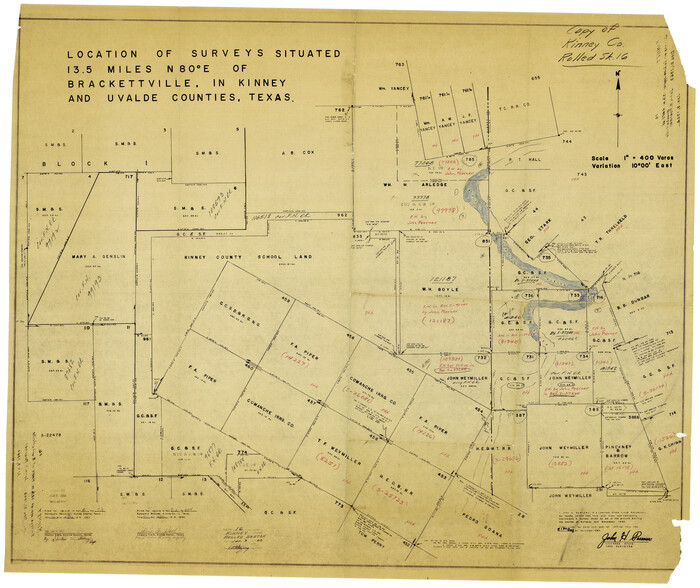
Kinney County Rolled Sketch 16

Print $20.00
- Digital $50.00
Kinney County Rolled Sketch 16
1963
Size 37.4 x 44.7 inches
Map/Doc 9355
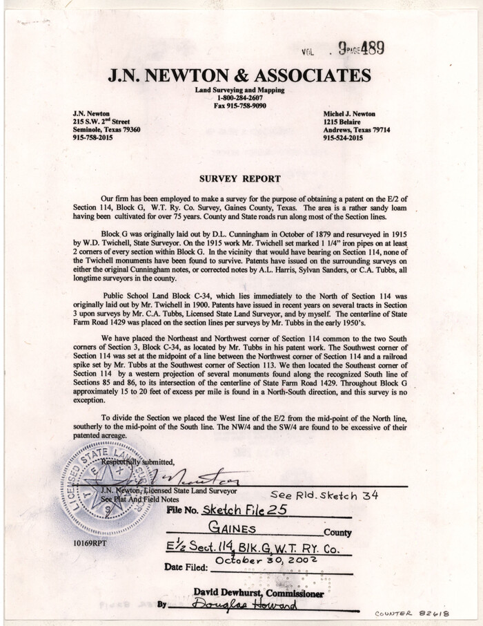
Gaines County Sketch File 25

Print $4.00
- Digital $50.00
Gaines County Sketch File 25
2002
Size 11.0 x 8.5 inches
Map/Doc 82618
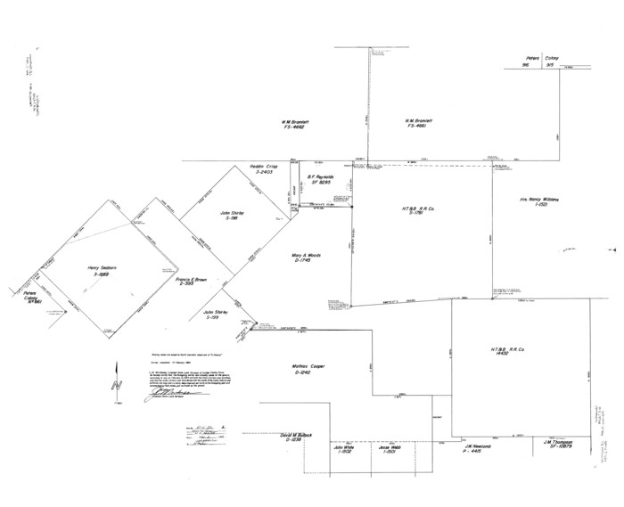
Shackelford County Rolled Sketch 4

Print $20.00
- Digital $50.00
Shackelford County Rolled Sketch 4
Size 38.8 x 47.7 inches
Map/Doc 9916
Sterling County Working Sketch 8


Print $20.00
- Digital $50.00
Sterling County Working Sketch 8
1972
Size 40.7 x 35.9 inches
Map/Doc 63990
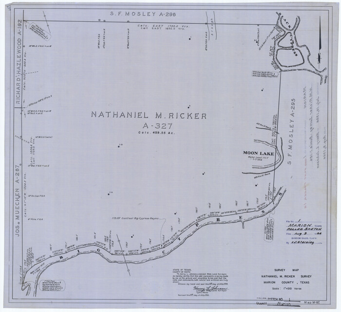
Marion County Rolled Sketch 1

Print $20.00
- Digital $50.00
Marion County Rolled Sketch 1
1954
Size 21.5 x 23.5 inches
Map/Doc 6657
Cass County Rolled Sketch 2


Print $20.00
- Digital $50.00
Cass County Rolled Sketch 2
1936
Size 35.2 x 18.0 inches
Map/Doc 5409
Terrell County Sketch File 24
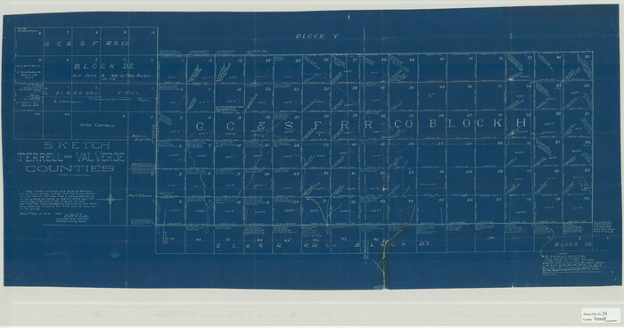

Print $20.00
- Digital $50.00
Terrell County Sketch File 24
1932
Size 22.0 x 41.8 inches
Map/Doc 10387
Callahan County Sketch File 10
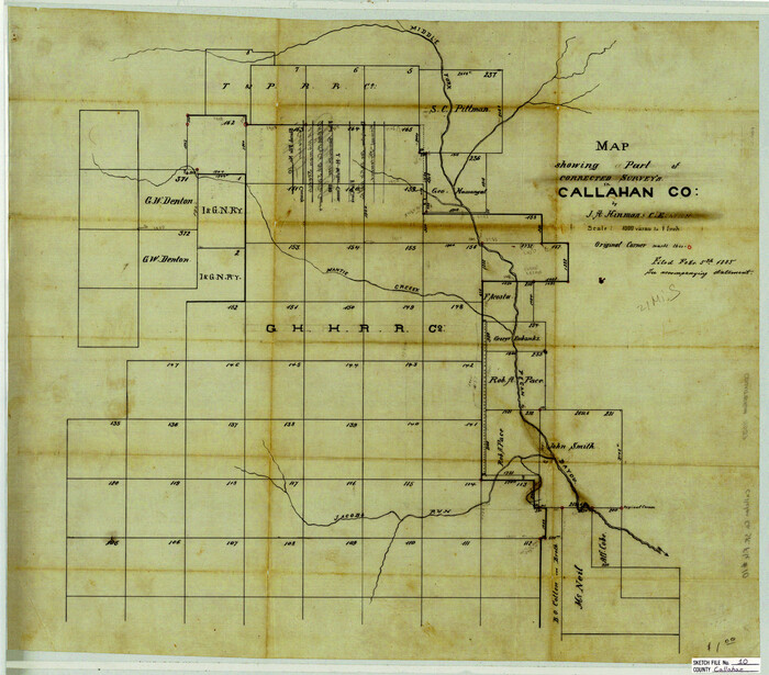

Print $40.00
- Digital $50.00
Callahan County Sketch File 10
Size 21.7 x 24.7 inches
Map/Doc 11039
Sutton County Sketch File 40
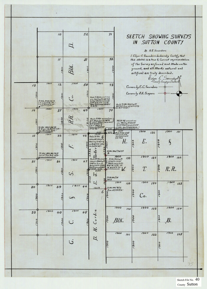

Print $20.00
- Digital $50.00
Sutton County Sketch File 40
Size 21.5 x 15.4 inches
Map/Doc 12390
Live Oak County
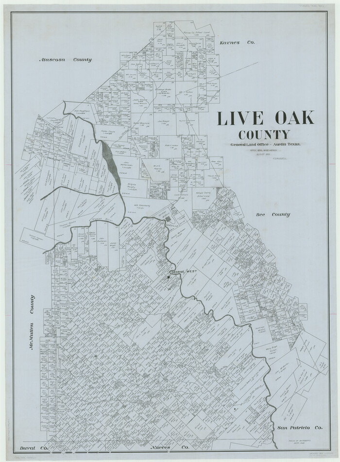

Print $40.00
- Digital $50.00
Live Oak County
1899
Size 52.3 x 38.5 inches
Map/Doc 66905
Bell County Working Sketch 19


Print $40.00
- Digital $50.00
Bell County Working Sketch 19
1994
Size 48.3 x 38.4 inches
Map/Doc 67359
Travis County Sketch File 75B

Print $20.00
- Digital $50.00
Travis County Sketch File 75B
1992
Size 37.4 x 26.7 inches
Map/Doc 12479
You may also like
Central & Montgomery


Print $40.00
- Digital $50.00
Central & Montgomery
1941
Size 25.6 x 122.2 inches
Map/Doc 64522
Hudspeth County Working Sketch 17


Print $40.00
- Digital $50.00
Hudspeth County Working Sketch 17
1957
Size 22.6 x 112.4 inches
Map/Doc 66299
Flight Mission No. CGI-3N, Frame 125, Cameron County

Print $20.00
- Digital $50.00
Flight Mission No. CGI-3N, Frame 125, Cameron County
1954
Size 18.6 x 22.2 inches
Map/Doc 84598
Crane County Sketch File 12

Print $6.00
- Digital $50.00
Crane County Sketch File 12
1901
Size 16.4 x 8.6 inches
Map/Doc 19571
El Paso County Sketch File 32


Print $8.00
- Digital $50.00
El Paso County Sketch File 32
1983
Size 14.3 x 8.9 inches
Map/Doc 22124
Hudspeth County Working Sketch 53-2


Print $40.00
- Digital $50.00
Hudspeth County Working Sketch 53-2
1988
Size 49.9 x 43.3 inches
Map/Doc 78210
Trinity County Sketch File 42

Print $60.00
- Digital $50.00
Trinity County Sketch File 42
1858
Size 28.0 x 37.6 inches
Map/Doc 10409
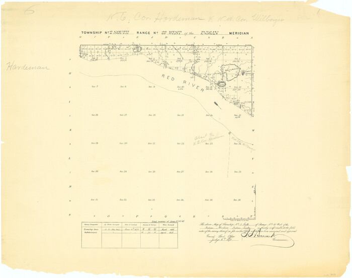
Township No. 2 South Range No. 22 West of the Indian Meridian

Print $20.00
- Digital $50.00
Township No. 2 South Range No. 22 West of the Indian Meridian
1875
Size 19.2 x 24.3 inches
Map/Doc 75176
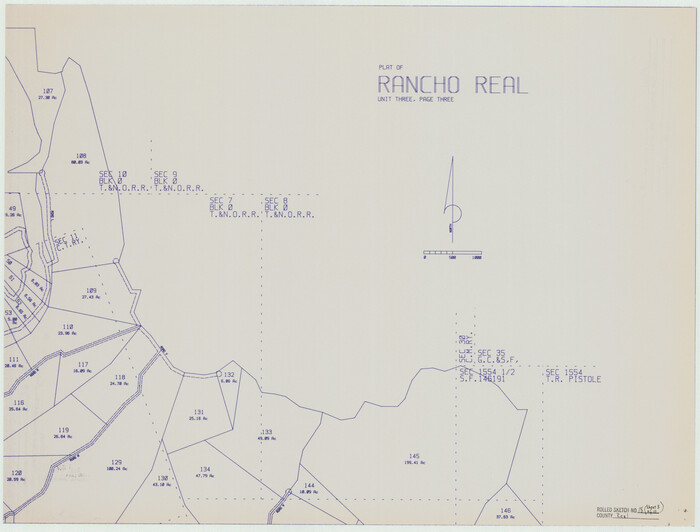
Real County Rolled Sketch 18

Print $20.00
- Digital $50.00
Real County Rolled Sketch 18
Size 18.5 x 24.3 inches
Map/Doc 7462
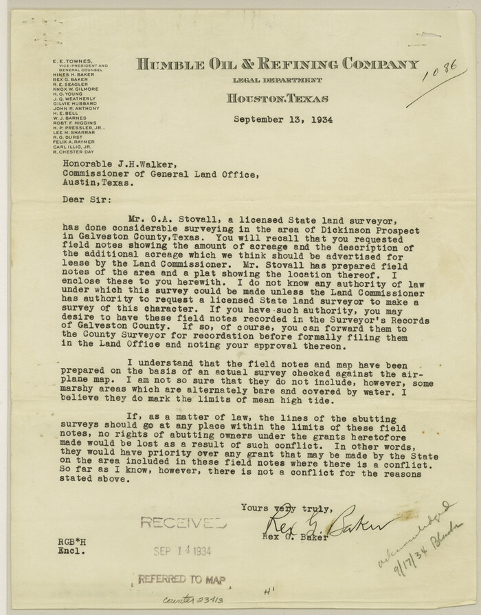
Galveston County Sketch File 33

Print $12.00
- Digital $50.00
Galveston County Sketch File 33
1934
Size 11.2 x 8.8 inches
Map/Doc 23413
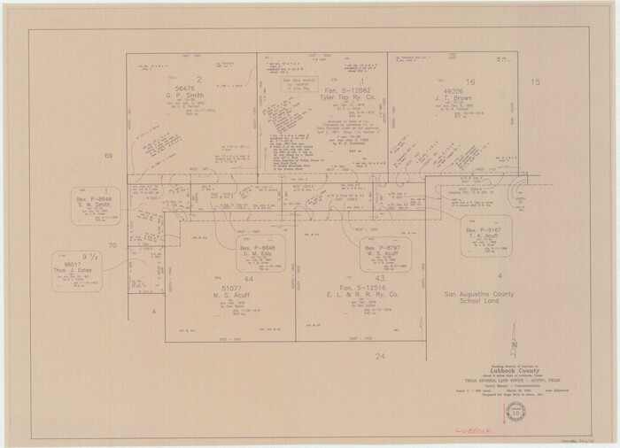
Lubbock County Working Sketch 10

Print $20.00
- Digital $50.00
Lubbock County Working Sketch 10
1994
Size 21.8 x 30.1 inches
Map/Doc 70670
Bandera County Working Sketch 9


Print $20.00
- Digital $50.00
Bandera County Working Sketch 9
1920
Size 15.2 x 17.1 inches
Map/Doc 67602
![94179, Houston including Bellaire, Bunker Hill, Galena Park, Hedwig, Hilshire, Hunters Creek, Jacinto City, Jersey Village, Missouri City, Pasadena, Piney Point, South Houston, Spring Valley, West University Place and adjoining communities [Recto], General Map Collection](https://historictexasmaps.com/wmedia_w1800h1800/maps/94179.tif.jpg)