[Movements & Objectives of the 143rd & 144th Infantry on October 9-11, 1918, Appendix E, Nos.2 and 3] - Verso
Tahure
-
Map/Doc
94132
-
Collection
Non-GLO Digital Images
-
Object Dates
[1918] (Creation Date)
-
People and Organizations
Groupe de Canevas de Tir; United States Military (Publisher)
-
Subjects
Europe Military Topographic
-
Height x Width
41.9 x 20.2 inches
106.4 x 51.3 cm
-
Medium
paper, print with manuscript additions
-
Comments
Digitized on behalf of the Texas Military Forces Museum. For map on recto, see 94131. 36th Infantry Division, Texas National Guard, WWI battle maps of St. Etienne, France and adjacent areas.
Related maps
[Movements & Objectives of the 143rd & 144th Infantry on October 9-11, 1918, Appendix E, Nos.2 and 3]
![94131, [Movements & Objectives of the 143rd & 144th Infantry on October 9-11, 1918, Appendix E, Nos.2 and 3], Non-GLO Digital Images](https://historictexasmaps.com/wmedia_w700/maps/94131-1.tif.jpg)
![94131, [Movements & Objectives of the 143rd & 144th Infantry on October 9-11, 1918, Appendix E, Nos.2 and 3], Non-GLO Digital Images](https://historictexasmaps.com/wmedia_w700/maps/94131-1.tif.jpg)
Print $20.00
[Movements & Objectives of the 143rd & 144th Infantry on October 9-11, 1918, Appendix E, Nos.2 and 3]
1918
Size 41.6 x 19.9 inches
Map/Doc 94131
Part of: Non-GLO Digital Images
A Geological Map of the United States and Canada


Print $20.00
A Geological Map of the United States and Canada
1853
Size 17.4 x 25.0 inches
Map/Doc 95189
Amérique Septentrionale


Print $20.00
Amérique Septentrionale
1845
Size 13.8 x 20.3 inches
Map/Doc 94571
[WWI Topographic Planning Map of the Ardennes]
![94129, [WWI Topographic Planning Map of the Ardennes], Non-GLO Digital Images](https://historictexasmaps.com/wmedia_w700/maps/94129-1.tif.jpg)
![94129, [WWI Topographic Planning Map of the Ardennes], Non-GLO Digital Images](https://historictexasmaps.com/wmedia_w700/maps/94129-1.tif.jpg)
Print $20.00
[WWI Topographic Planning Map of the Ardennes]
1918
Size 35.8 x 20.2 inches
Map/Doc 94129
[Movements & Objectives of the 143rd & 144th Infantry on October 9-11, 1918, Appendix E, Nos.2 and 3] - Verso
![94132, [Movements & Objectives of the 143rd & 144th Infantry on October 9-11, 1918, Appendix E, Nos.2 and 3] - Verso, Non-GLO Digital Images](https://historictexasmaps.com/wmedia_w700/maps/94132-1.tif.jpg)
![94132, [Movements & Objectives of the 143rd & 144th Infantry on October 9-11, 1918, Appendix E, Nos.2 and 3] - Verso, Non-GLO Digital Images](https://historictexasmaps.com/wmedia_w700/maps/94132-1.tif.jpg)
Print $20.00
[Movements & Objectives of the 143rd & 144th Infantry on October 9-11, 1918, Appendix E, Nos.2 and 3] - Verso
1918
Size 41.9 x 20.2 inches
Map/Doc 94132
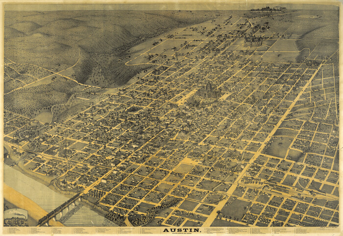
Austin, State Capital of Texas

Print $20.00
Austin, State Capital of Texas
1887
Size 27.5 x 40.0 inches
Map/Doc 89218
Bird's Eye View of New Braunfels, Comal County, Texas


Print $20.00
Bird's Eye View of New Braunfels, Comal County, Texas
1881
Size 17.0 x 24.1 inches
Map/Doc 89200
The Official Map of the City of El Paso, State of Texas


Print $20.00
The Official Map of the City of El Paso, State of Texas
1889
Size 41.9 x 46.2 inches
Map/Doc 89618
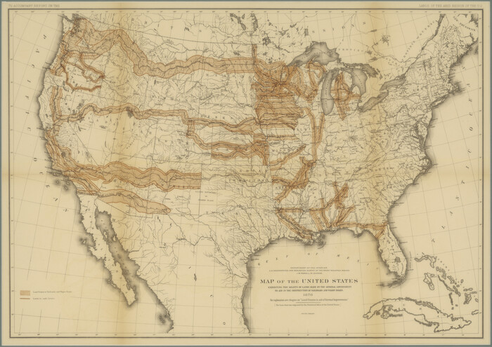
Map of the United States Exhibiting the grants of lands made by the general government to aid in the construction of railroads and wagon roads

Print $20.00
Map of the United States Exhibiting the grants of lands made by the general government to aid in the construction of railroads and wagon roads
1878
Size 20.8 x 29.4 inches
Map/Doc 95286
Greenville, Hunt County Texas


Print $20.00
Greenville, Hunt County Texas
1891
Size 16.4 x 30.0 inches
Map/Doc 89090
You may also like
Flight Mission No. CRC-5R, Frame 38, Chambers County

Print $20.00
- Digital $50.00
Flight Mission No. CRC-5R, Frame 38, Chambers County
1956
Size 18.6 x 22.3 inches
Map/Doc 84957
Crockett County Rolled Sketch RC


Print $50.00
- Digital $50.00
Crockett County Rolled Sketch RC
1935
Size 43.2 x 31.1 inches
Map/Doc 8702
Edwards County Working Sketch 24

Print $20.00
- Digital $50.00
Edwards County Working Sketch 24
1942
Size 19.1 x 34.1 inches
Map/Doc 68900
General Highway Map, Dallam County, Texas

Print $20.00
General Highway Map, Dallam County, Texas
1961
Size 24.7 x 18.2 inches
Map/Doc 79429
Harris County Working Sketch 52
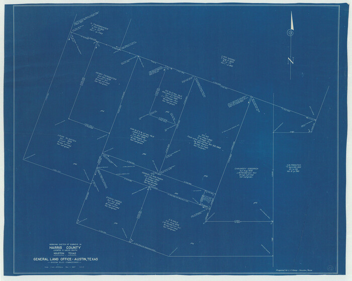

Print $20.00
- Digital $50.00
Harris County Working Sketch 52
1947
Size 33.9 x 42.4 inches
Map/Doc 65944
Chocolate Bayou, Texas showing proposed connection from its mouth to West Galveston Bay for a Light Draft Navigation
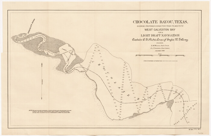

Print $20.00
- Digital $50.00
Chocolate Bayou, Texas showing proposed connection from its mouth to West Galveston Bay for a Light Draft Navigation
Size 13.2 x 20.4 inches
Map/Doc 96557
[Sketch highlighting Bob Reid and Fred Turner surveys]
![91692, [Sketch highlighting Bob Reid and Fred Turner surveys], Twichell Survey Records](https://historictexasmaps.com/wmedia_w700/maps/91692-1.tif.jpg)
![91692, [Sketch highlighting Bob Reid and Fred Turner surveys], Twichell Survey Records](https://historictexasmaps.com/wmedia_w700/maps/91692-1.tif.jpg)
Print $2.00
- Digital $50.00
[Sketch highlighting Bob Reid and Fred Turner surveys]
Size 5.9 x 7.6 inches
Map/Doc 91692
Zapata County Sketch File 4a


Print $4.00
- Digital $50.00
Zapata County Sketch File 4a
1891
Size 14.2 x 8.8 inches
Map/Doc 40908
[Guadalupe, San Miguel, and other Counties, N.M.]
![89818, [Guadalupe, San Miguel, and other Counties, N.M.], Twichell Survey Records](https://historictexasmaps.com/wmedia_w700/maps/89818-1.tif.jpg)
![89818, [Guadalupe, San Miguel, and other Counties, N.M.], Twichell Survey Records](https://historictexasmaps.com/wmedia_w700/maps/89818-1.tif.jpg)
Print $40.00
- Digital $50.00
[Guadalupe, San Miguel, and other Counties, N.M.]
Size 39.6 x 57.1 inches
Map/Doc 89818
Bailey County Sketch File 3a


Print $12.00
- Digital $50.00
Bailey County Sketch File 3a
1901
Size 8.1 x 9.0 inches
Map/Doc 13948
Travis County Sketch File 72


Print $4.00
- Digital $50.00
Travis County Sketch File 72
1850
Size 12.7 x 8.4 inches
Map/Doc 38460
![94132, [Movements & Objectives of the 143rd & 144th Infantry on October 9-11, 1918, Appendix E, Nos.2 and 3] - Verso, Non-GLO Digital Images](https://historictexasmaps.com/wmedia_w1800h1800/maps/94132-1.tif.jpg)

