Map of Texas and the Countries Adjacent compiled in the Bureau of the Corps of Topographical Engineers from the Best Authorities
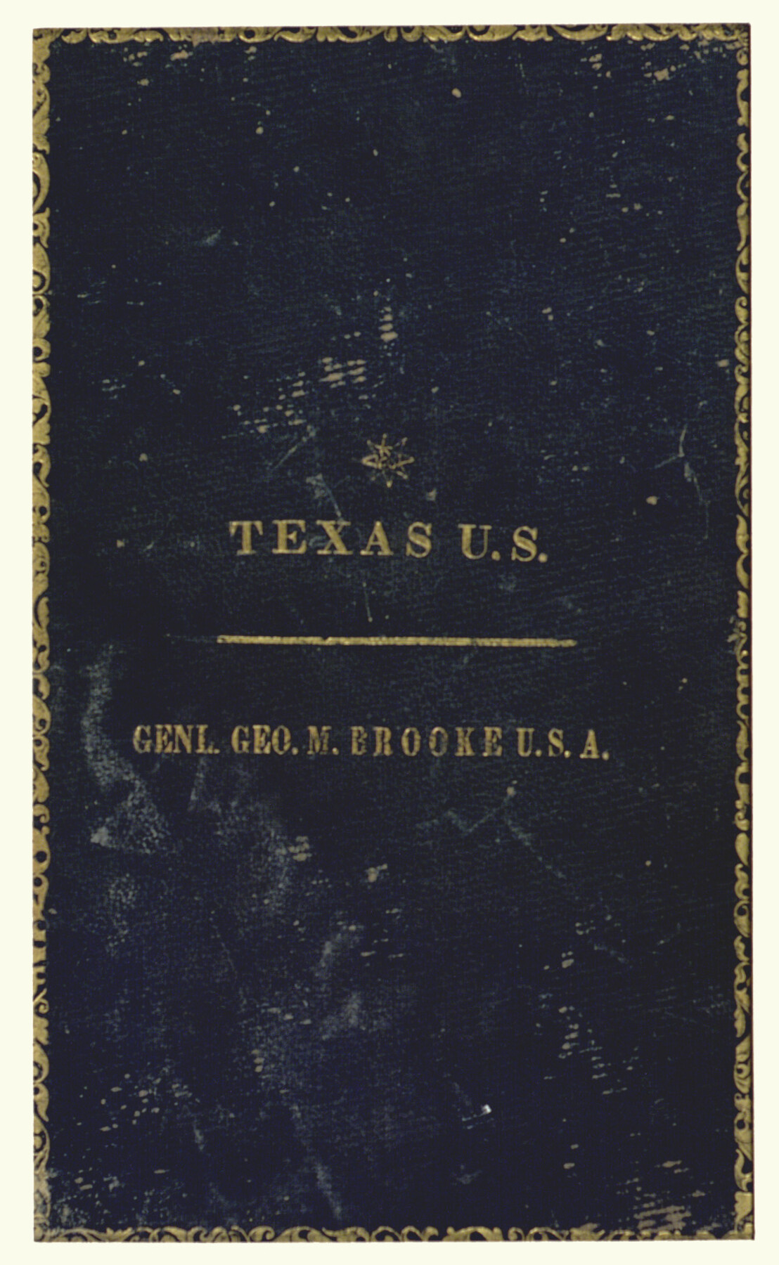
[Cover for] Map of Texas and the countries adjacent: compiled in the Bureau of the Corps of Topographical Engineers from the best authorities, for the State Department
-
Map/Doc
93868
-
Collection
Holcomb Digital Map Collection
-
Object Dates
1844 (Creation Date)
-
Subjects
Republic of Texas United States
-
Height x Width
8.1 x 5.0 inches
20.6 x 12.7 cm
-
Comments
See 93867 for map that was contained in this cover. Courtesy of Frank and Carol Holcomb.
Part of: Holcomb Digital Map Collection
America sive novvs orbis respectv evropaeorvm inferior globi terrestris pars 1596

Print $20.00
- Digital $50.00
America sive novvs orbis respectv evropaeorvm inferior globi terrestris pars 1596
1596
Size 14.7 x 18.1 inches
Map/Doc 93809
Map of the West Indies designed to accompany Smith's Geography for Schools

Print $20.00
- Digital $50.00
Map of the West Indies designed to accompany Smith's Geography for Schools
1850
Size 9.6 x 12.0 inches
Map/Doc 93893
A New & Correct Map of the Trading Part of the West Indies, including the Seat of War between Gr. Britain and France Likewise the British Empire in America, with the French and Spanish Settlements adjacent thereto

Print $20.00
- Digital $50.00
A New & Correct Map of the Trading Part of the West Indies, including the Seat of War between Gr. Britain and France Likewise the British Empire in America, with the French and Spanish Settlements adjacent thereto
1759
Size 27.4 x 41.4 inches
Map/Doc 93826
Map of Texas and the Countries Adjacent compiled in the Bureau of the Corps of Topographical Engineers from the Best Authorities

Print $20.00
- Digital $50.00
Map of Texas and the Countries Adjacent compiled in the Bureau of the Corps of Topographical Engineers from the Best Authorities
1844
Size 22.3 x 33.4 inches
Map/Doc 93867
J. De Cordova's Map of the State of Texas Compiled from the records of the General Land Office of the State

Print $20.00
- Digital $50.00
J. De Cordova's Map of the State of Texas Compiled from the records of the General Land Office of the State
1854
Size 25.6 x 23.4 inches
Map/Doc 93903
Map of the State of Coahuila and Texas

Print $20.00
- Digital $50.00
Map of the State of Coahuila and Texas
1834
Size 13.2 x 14.7 inches
Map/Doc 93848
Terre Nove (verso)

Print $20.00
- Digital $50.00
Terre Nove (verso)
1522
Size 12.2 x 7.8 inches
Map/Doc 93802
Map of the Texas & Pacific Railway and connections

Print $20.00
- Digital $50.00
Map of the Texas & Pacific Railway and connections
1902
Size 18.0 x 36.8 inches
Map/Doc 95413
A New, Plaine, and Exact map of America : described by N.I. Visscher, and don into English, enlarged, and corrected, according to I. Blaeu, with the habits of the countries, and the manner of the cheife Citties, the like never before

Print $20.00
- Digital $50.00
A New, Plaine, and Exact map of America : described by N.I. Visscher, and don into English, enlarged, and corrected, according to I. Blaeu, with the habits of the countries, and the manner of the cheife Citties, the like never before
1658
Size 16.4 x 20.9 inches
Map/Doc 96787

Map of Asia designed to accompany Smith's Geography for Schools

Print $20.00
- Digital $50.00
Map of Asia designed to accompany Smith's Geography for Schools
1850
Size 9.6 x 12.0 inches
Map/Doc 93896
Map No. 2. Eastern States designed to accompany Smith's Geography for School

Print $20.00
- Digital $50.00
Map No. 2. Eastern States designed to accompany Smith's Geography for School
1850
Size 9.6 x 12.1 inches
Map/Doc 93886
You may also like
Waco, Tex., County Seat of McLennan Co.

Print $20.00
Waco, Tex., County Seat of McLennan Co.
1886
Size 16.9 x 30.7 inches
Map/Doc 93473
Sutton County Working Sketch 58

Print $40.00
- Digital $50.00
Sutton County Working Sketch 58
1958
Size 57.3 x 37.5 inches
Map/Doc 62401
[H. & T. C. RR. Company, Block 47, Map C]
![91258, [H. & T. C. RR. Company, Block 47, Map C], Twichell Survey Records](https://historictexasmaps.com/wmedia_w700/maps/91258-1.tif.jpg)
Print $20.00
- Digital $50.00
[H. & T. C. RR. Company, Block 47, Map C]
Size 34.1 x 20.7 inches
Map/Doc 91258
Gregg County Rolled Sketch FB

Print $84.00
- Digital $50.00
Gregg County Rolled Sketch FB
1932
Size 25.2 x 56.7 inches
Map/Doc 9326
Coke County Rolled Sketch 33

Print $20.00
- Digital $50.00
Coke County Rolled Sketch 33
2004
Size 28.9 x 40.5 inches
Map/Doc 82987
Brown County Working Sketch 8

Print $20.00
- Digital $50.00
Brown County Working Sketch 8
1974
Size 43.8 x 27.7 inches
Map/Doc 67773
Marion County Working Sketch 35

Print $20.00
- Digital $50.00
Marion County Working Sketch 35
1985
Size 27.3 x 28.2 inches
Map/Doc 70811
Travis County Working Sketch 24

Print $20.00
- Digital $50.00
Travis County Working Sketch 24
1948
Size 25.6 x 23.1 inches
Map/Doc 69408
Red River County Working Sketch 8

Print $20.00
- Digital $50.00
Red River County Working Sketch 8
1920
Size 16.2 x 14.2 inches
Map/Doc 71991
Glasscock County Sketch File 26

Print $20.00
- Digital $50.00
Glasscock County Sketch File 26
1951
Size 16.1 x 28.3 inches
Map/Doc 11567
[Block AX and vicinity]
![90860, [Block AX and vicinity], Twichell Survey Records](https://historictexasmaps.com/wmedia_w700/maps/90860-2.tif.jpg)
Print $20.00
- Digital $50.00
[Block AX and vicinity]
Size 35.9 x 19.7 inches
Map/Doc 90860
Upton County Sketch File 21

Print $20.00
- Digital $50.00
Upton County Sketch File 21
1927
Size 15.0 x 23.7 inches
Map/Doc 12518