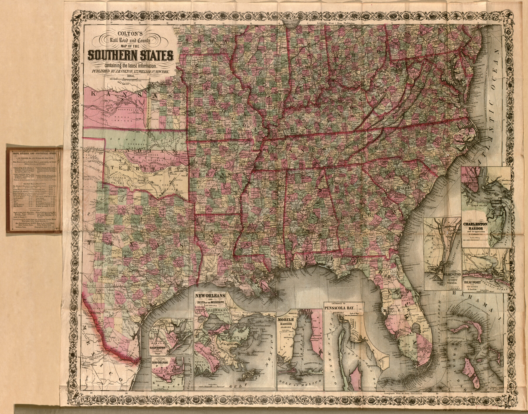
Colton's rail road and county map of the southern states containing the latest information.
-
Map/Doc
93570
-
Collection
Library of Congress
-
Object Dates
1864 (Creation Date)
-
People and Organizations
J.H. Colton (Publisher)
J.H. Colton (Author)
-
Subjects
Railroads United States
-
Height x Width
24.4 x 31.1 inches
62.0 x 79.0 cm
-
Comments
For more information see here. Prints available from the GLO courtesy of Library of Congress, Geography and Map Division.
Part of: Library of Congress
Interpretative map of wind erodibility. Gaines County, Texas

Interpretative map of wind erodibility. Gaines County, Texas
1986
Size 27.6 x 36.2 inches
Map/Doc 93561
From the Red River to the Rio Grande from explorations and surveys made under the direction of the Hon. Jefferson Davis, Secretary of War by Captain John Pope, Corps Topl. Engrs. assisted by Lieutenant Kenner Gerrard, 1st Dragoons, 1854-6

Print $40.00
From the Red River to the Rio Grande from explorations and surveys made under the direction of the Hon. Jefferson Davis, Secretary of War by Captain John Pope, Corps Topl. Engrs. assisted by Lieutenant Kenner Gerrard, 1st Dragoons, 1854-6
1859
Size 28.0 x 57.9 inches
Map/Doc 93581

Map of San Saba County : exhibiting the extent of public surveys, land grants, and other official information…

Print $20.00
Map of San Saba County : exhibiting the extent of public surveys, land grants, and other official information…
1876
Size 22.8 x 20.1 inches
Map/Doc 93593
Map of Texas With Parts of the Adjoining States

Print $20.00
Map of Texas With Parts of the Adjoining States
1837
Size 29.9 x 25.2 inches
Map/Doc 88998
Map of the Mexican National Railway showing the lines granted by the Mexican Government to the Mexican National Construction Company (Palmer-Sullivan Concession)

Print $20.00
Map of the Mexican National Railway showing the lines granted by the Mexican Government to the Mexican National Construction Company (Palmer-Sullivan Concession)
1881
Size 26.8 x 40.6 inches
Map/Doc 95315


Bird's Eye View of El Paso

Print $20.00
Bird's Eye View of El Paso
1885
Size 20.0 x 30.0 inches
Map/Doc 93621

[Map showing T&P Lands in El Paso County]
![88935, [Map showing T&P Lands in El Paso County], Library of Congress](https://historictexasmaps.com/wmedia_w700/maps/88935.tif.jpg)
Print $20.00
[Map showing T&P Lands in El Paso County]
Size 22.2 x 17.4 inches
Map/Doc 88935
Houston - a Modern City

Print $20.00
Houston - a Modern City
1912
Size 18.2 x 23.4 inches
Map/Doc 93482
You may also like
Leon County Working Sketch 43

Print $40.00
- Digital $50.00
Leon County Working Sketch 43
1980
Size 55.1 x 38.0 inches
Map/Doc 70442
Polk County Sketch File 29

Print $4.00
- Digital $50.00
Polk County Sketch File 29
Size 8.8 x 12.6 inches
Map/Doc 34200
Glasscock County Sketch File 1

Print $46.00
- Digital $50.00
Glasscock County Sketch File 1
Size 26.1 x 31.8 inches
Map/Doc 11558

Flight Mission No. DAG-24K, Frame 155, Matagorda County

Print $20.00
- Digital $50.00
Flight Mission No. DAG-24K, Frame 155, Matagorda County
1953
Size 15.9 x 15.8 inches
Map/Doc 86569
[Galveston, Harrisburg & San Antonio Railway]
![64402, [Galveston, Harrisburg & San Antonio Railway], General Map Collection](https://historictexasmaps.com/wmedia_w700/maps/64402.tif.jpg)
Print $20.00
- Digital $50.00
[Galveston, Harrisburg & San Antonio Railway]
1892
Size 13.5 x 33.7 inches
Map/Doc 64402
Map Showing Lands Surveyed by Sylvan Sanders, Block D

Print $20.00
- Digital $50.00
Map Showing Lands Surveyed by Sylvan Sanders, Block D
Size 28.2 x 23.5 inches
Map/Doc 92440
Upton County Sketch File 1

Print $40.00
- Digital $50.00
Upton County Sketch File 1
1881
Size 24.1 x 65.4 inches
Map/Doc 10412
Roberts County Sketch File 6

Print $6.00
- Digital $50.00
Roberts County Sketch File 6
1935
Size 10.8 x 14.5 inches
Map/Doc 35314
[Leagues 7, 8, 9, and 10]
![92216, [Leagues 7, 8, 9, and 10], Twichell Survey Records](https://historictexasmaps.com/wmedia_w700/maps/92216-1.tif.jpg)
Print $20.00
- Digital $50.00
[Leagues 7, 8, 9, and 10]
Size 38.3 x 26.2 inches
Map/Doc 92216

Traveller's Map of the State of Texas

Print $20.00
- Digital $50.00
Traveller's Map of the State of Texas
1867
Size 43.4 x 41.6 inches
Map/Doc 93906