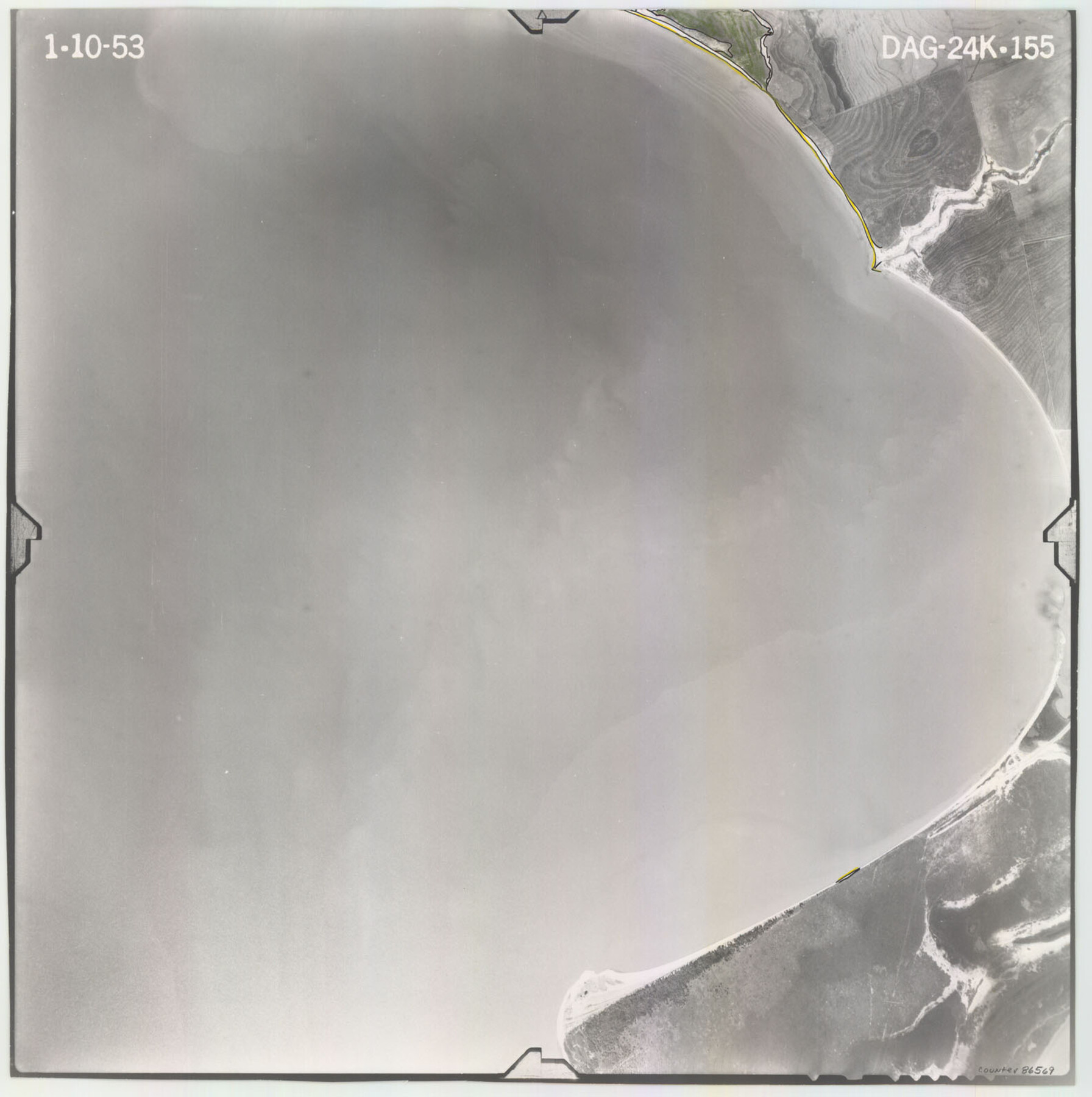
Flight Mission No. DAG-24K, Frame 155, Matagorda County
DAG-24K-155
-
Map/Doc
86569
-
Collection
General Map Collection
-
Object Dates
1953/1/10 (Creation Date)
-
People and Organizations
U. S. Department of Agriculture (Publisher)
-
Counties
Matagorda
-
Subjects
Aerial Photograph
-
Height x Width
15.9 x 15.8 inches
40.4 x 40.1 cm
-
Comments
Flown by Aero Exploration Company of Tulsa, Oklahoma.
Part of: General Map Collection
Fisher County Working Sketch 5

Print $20.00
- Digital $50.00
Fisher County Working Sketch 5
1926
Size 23.0 x 25.6 inches
Map/Doc 69139

Brewster County Rolled Sketch 22F

Print $20.00
- Digital $50.00
Brewster County Rolled Sketch 22F
1909
Size 19.0 x 25.4 inches
Map/Doc 5206
Karnes County Sketch File 7a

Print $4.00
- Digital $50.00
Karnes County Sketch File 7a
1873
Size 10.1 x 8.1 inches
Map/Doc 28563
Gulf of Mexico

Print $20.00
- Digital $50.00
Gulf of Mexico
1900
Size 18.3 x 28.1 inches
Map/Doc 72650
Real County Working Sketch 7

Print $20.00
- Digital $50.00
Real County Working Sketch 7
1928
Size 18.4 x 19.4 inches
Map/Doc 71899

Fractional Township No. 6 South Range No. 8 West of the Indian Meridian, Indian Territory

Print $20.00
- Digital $50.00
Fractional Township No. 6 South Range No. 8 West of the Indian Meridian, Indian Territory
1898
Size 19.2 x 24.4 inches
Map/Doc 75156
Duval County Rolled Sketch 17

Print $20.00
- Digital $50.00
Duval County Rolled Sketch 17
1940
Size 18.9 x 17.9 inches
Map/Doc 5738
Jeff Davis County Rolled Sketch 34

Print $20.00
- Digital $50.00
Jeff Davis County Rolled Sketch 34
Size 36.5 x 45.4 inches
Map/Doc 78187
Hardin County

Print $40.00
- Digital $50.00
Hardin County
1940
Size 48.8 x 44.3 inches
Map/Doc 95521
Wharton County Working Sketch 6

Print $20.00
- Digital $50.00
Wharton County Working Sketch 6
1990
Size 24.7 x 21.1 inches
Map/Doc 72470
You may also like
Caldwell County Working Sketch 10

Print $40.00
- Digital $50.00
Caldwell County Working Sketch 10
1977
Size 46.2 x 50.5 inches
Map/Doc 67840
McCulloch County Rolled Sketch 10

Print $20.00
- Digital $50.00
McCulloch County Rolled Sketch 10
Size 45.9 x 33.7 inches
Map/Doc 6720
Intracoastal Waterway - Gibbstown to Port Arthur

Print $20.00
- Digital $50.00
Intracoastal Waterway - Gibbstown to Port Arthur
1961
Size 26.6 x 38.7 inches
Map/Doc 69833
Baylor County Sketch File 1a

Print $8.00
- Digital $50.00
Baylor County Sketch File 1a
1857
Size 8.2 x 7.9 inches
Map/Doc 14144
[Leagues 486-494, 503-539]
![93099, [Leagues 486-494, 503-539], Twichell Survey Records](https://historictexasmaps.com/wmedia_w700/maps/93099-1.tif.jpg)
Print $20.00
- Digital $50.00
[Leagues 486-494, 503-539]
Size 31.8 x 19.9 inches
Map/Doc 93099
Harris County Working Sketch 127

Print $20.00
- Digital $50.00
Harris County Working Sketch 127
1996
Size 20.7 x 26.0 inches
Map/Doc 66019
Flight Mission No. DQO-8K, Frame 139, Galveston County

Print $20.00
- Digital $50.00
Flight Mission No. DQO-8K, Frame 139, Galveston County
1952
Size 18.6 x 22.4 inches
Map/Doc 85201
Leon County Working Sketch 25

Print $20.00
- Digital $50.00
Leon County Working Sketch 25
1968
Size 30.6 x 26.7 inches
Map/Doc 70424
Stephens County Working Sketch 23

Print $20.00
- Digital $50.00
Stephens County Working Sketch 23
1975
Size 31.0 x 38.8 inches
Map/Doc 63966
Pecos County Rolled Sketch 85

Print $20.00
- Digital $50.00
Pecos County Rolled Sketch 85
1931
Size 36.7 x 24.4 inches
Map/Doc 7243
Cameron County Rolled Sketch 24

Print $40.00
- Digital $50.00
Cameron County Rolled Sketch 24
1968
Size 30.4 x 66.7 inches
Map/Doc 8574
Jasper County Working Sketch 2

Print $20.00
- Digital $50.00
Jasper County Working Sketch 2
Size 18.6 x 22.5 inches
Map/Doc 66464