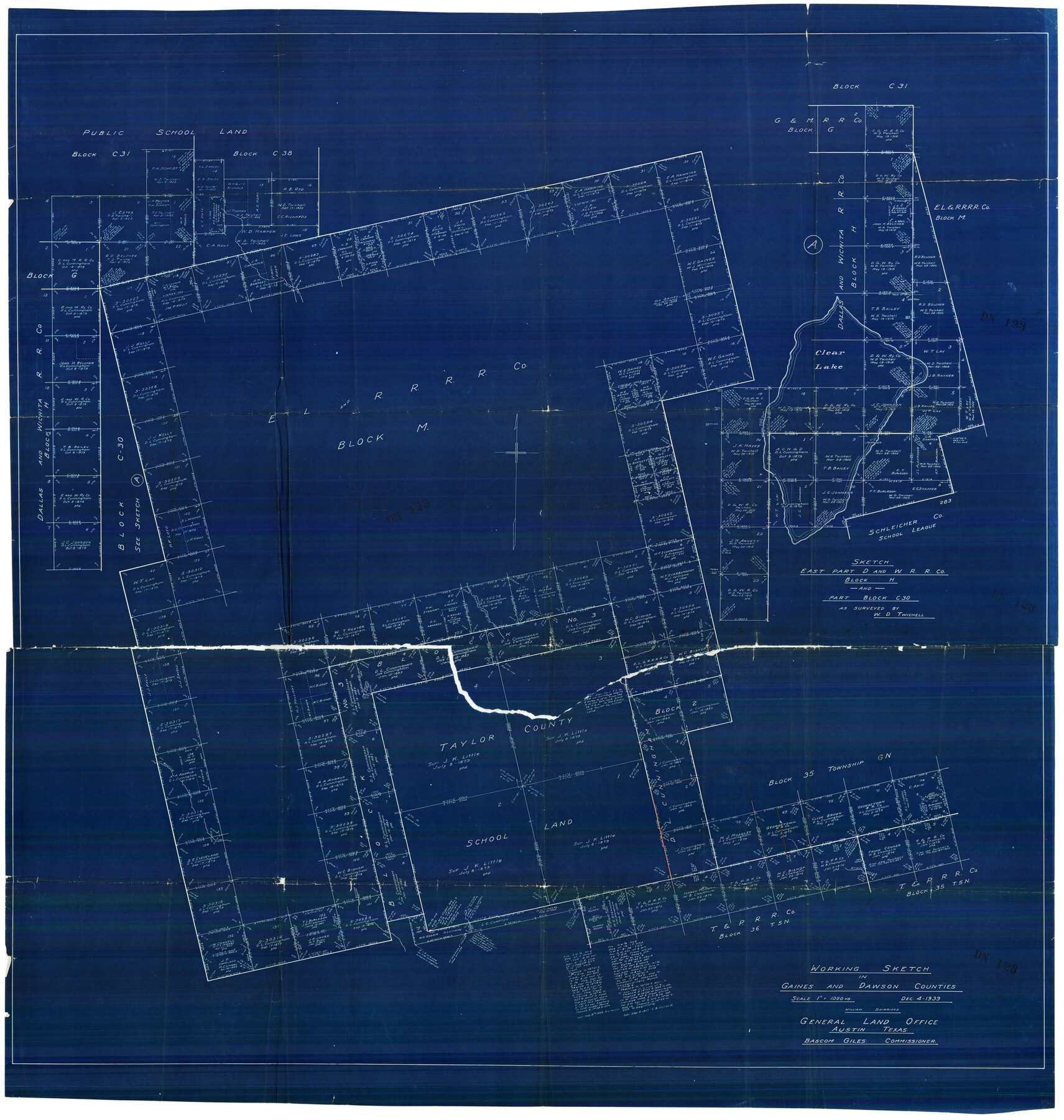
Working Sketch in Gaines and Dawson Counties
DN123
-
Map/Doc
93254
-
Collection
Twichell Survey Records
-
Object Dates
12/4/1939 (Creation Date)
-
People and Organizations
William Shirriffs (Draftsman)
-
Counties
Dawson
-
Height x Width
43.4 x 45.3 inches
110.2 x 115.1 cm
Part of: Twichell Survey Records
Map of George W. Littlefield's Ranch Located on State Capitol Leagues 657-736 Situated in Lamb and Hockley Counties, Texas

Print $20.00
- Digital $50.00
Map of George W. Littlefield's Ranch Located on State Capitol Leagues 657-736 Situated in Lamb and Hockley Counties, Texas
Size 27.9 x 37.9 inches
Map/Doc 92262
[T. & P. Block 35, Townships 1N - 5N]
![93138, [T. & P. Block 35, Townships 1N - 5N], Twichell Survey Records](https://historictexasmaps.com/wmedia_w700/maps/93138-1.tif.jpg)
Print $40.00
- Digital $50.00
[T. & P. Block 35, Townships 1N - 5N]
Size 23.8 x 87.2 inches
Map/Doc 93138
[Nathaniel H. Cochran Survey and Vicinity]
![91496, [Nathaniel H. Cochran Survey and Vicinity], Twichell Survey Records](https://historictexasmaps.com/wmedia_w700/maps/91496-1.tif.jpg)
Print $20.00
- Digital $50.00
[Nathaniel H. Cochran Survey and Vicinity]
1922
Size 22.5 x 21.9 inches
Map/Doc 91496
Pecos County Sketch showing location of oil wells within 1/2 mile radius of the south 8 acres of the Bob Reid survey

Print $20.00
- Digital $50.00
Pecos County Sketch showing location of oil wells within 1/2 mile radius of the south 8 acres of the Bob Reid survey
Size 24.1 x 20.5 inches
Map/Doc 91624
James Subdivision, NE/4 Section 1, Block E, G. C. & S. F. R.R. Co. Cert 3/360, Abstract 46

Print $20.00
- Digital $50.00
James Subdivision, NE/4 Section 1, Block E, G. C. & S. F. R.R. Co. Cert 3/360, Abstract 46
Size 17.8 x 19.4 inches
Map/Doc 92734
General Highway Map Cochran County, Texas

Print $20.00
- Digital $50.00
General Highway Map Cochran County, Texas
1948
Size 18.7 x 25.6 inches
Map/Doc 92498
Map of Young County

Print $20.00
- Digital $50.00
Map of Young County
Size 25.1 x 29.3 inches
Map/Doc 92803
[Surveys along State Line]
![91403, [Surveys along State Line], Twichell Survey Records](https://historictexasmaps.com/wmedia_w700/maps/91403-1.tif.jpg)
Print $3.00
- Digital $50.00
[Surveys along State Line]
Size 7.4 x 17.2 inches
Map/Doc 91403
Hockley County Sketch Mineral Applications Number 38322- 38379

Print $20.00
- Digital $50.00
Hockley County Sketch Mineral Applications Number 38322- 38379
1946
Size 33.5 x 27.9 inches
Map/Doc 92232
First Installment Gordon Addition to Idalou

Print $20.00
- Digital $50.00
First Installment Gordon Addition to Idalou
1954
Size 22.8 x 10.8 inches
Map/Doc 92828
![91458, [Capitol Land], Twichell Survey Records](https://historictexasmaps.com/wmedia_w700/maps/91458-1.tif.jpg)
[T. & N. O. Railroad Company, Block 2T]
![91516, [T. & N. O. Railroad Company, Block 2T], Twichell Survey Records](https://historictexasmaps.com/wmedia_w700/maps/91516-1.tif.jpg)
Print $20.00
- Digital $50.00
[T. & N. O. Railroad Company, Block 2T]
Size 30.6 x 9.5 inches
Map/Doc 91516
You may also like
Sterling County Sketch File 1

Print $40.00
- Digital $50.00
Sterling County Sketch File 1
1862
Size 18.7 x 8.4 inches
Map/Doc 37111
Hutchinson County Sketch File 20m

Print $20.00
- Digital $50.00
Hutchinson County Sketch File 20m
Size 36.2 x 43.6 inches
Map/Doc 10501
General Highway Map, Burnet County, Texas

Print $20.00
General Highway Map, Burnet County, Texas
1940
Size 18.4 x 25.0 inches
Map/Doc 79035
Fannin County Boundary File 2

Print $27.00
- Digital $50.00
Fannin County Boundary File 2
Size 13.4 x 8.8 inches
Map/Doc 53282
Sketch Showing Original Corners Affecting Block I and Adjacent Surveys from Actual Connections by W. D. Twichell

Print $20.00
- Digital $50.00
Sketch Showing Original Corners Affecting Block I and Adjacent Surveys from Actual Connections by W. D. Twichell
Size 23.4 x 24.4 inches
Map/Doc 90162
1883 Map of the Texas & Pacific R-Y Reserve

Print $40.00
- Digital $50.00
1883 Map of the Texas & Pacific R-Y Reserve
1883
Size 42.2 x 86.4 inches
Map/Doc 2236
Terrell County Rolled Sketch 50

Print $20.00
- Digital $50.00
Terrell County Rolled Sketch 50
1963
Size 35.9 x 20.5 inches
Map/Doc 7967
Menard County Working Sketch 26

Print $20.00
- Digital $50.00
Menard County Working Sketch 26
1961
Size 28.6 x 36.1 inches
Map/Doc 70973
Shelby County Rolled Sketch 15

Print $40.00
- Digital $50.00
Shelby County Rolled Sketch 15
1948
Size 22.5 x 53.9 inches
Map/Doc 9924
Tarrant County

Print $20.00
- Digital $50.00
Tarrant County
1885
Size 36.6 x 36.4 inches
Map/Doc 63056
Aransas County Boundary File 6

Print $156.00
- Digital $50.00
Aransas County Boundary File 6
Size 14.1 x 8.5 inches
Map/Doc 49806
Rains County Working Sketch Graphic Index

Print $20.00
- Digital $50.00
Rains County Working Sketch Graphic Index
1942
Size 31.3 x 29.5 inches
Map/Doc 76675