[Public School Land Blocks]
2-1
-
Map/Doc
93153
-
Collection
Twichell Survey Records
-
Counties
Andrews Gaines
-
Height x Width
56.3 x 74.8 inches
143.0 x 190.0 cm
Part of: Twichell Survey Records
[McLennan County School Land Leagues 3 and 4 and surrounding surveys/blocks]
![90434, [McLennan County School Land Leagues 3 and 4 and surrounding surveys/blocks], Twichell Survey Records](https://historictexasmaps.com/wmedia_w700/maps/90434-1.tif.jpg)
![90434, [McLennan County School Land Leagues 3 and 4 and surrounding surveys/blocks], Twichell Survey Records](https://historictexasmaps.com/wmedia_w700/maps/90434-1.tif.jpg)
Print $20.00
- Digital $50.00
[McLennan County School Land Leagues 3 and 4 and surrounding surveys/blocks]
Size 12.0 x 14.8 inches
Map/Doc 90434
Howard T. Trigg's Official Map of Amarillo


Print $40.00
- Digital $50.00
Howard T. Trigg's Official Map of Amarillo
Size 79.1 x 54.0 inches
Map/Doc 93196
[Southwest Portion of Glasscock County]
![90765, [Southwest Portion of Glasscock County], Twichell Survey Records](https://historictexasmaps.com/wmedia_w700/maps/90765-1.tif.jpg)
![90765, [Southwest Portion of Glasscock County], Twichell Survey Records](https://historictexasmaps.com/wmedia_w700/maps/90765-1.tif.jpg)
Print $20.00
- Digital $50.00
[Southwest Portion of Glasscock County]
Size 18.7 x 20.9 inches
Map/Doc 90765
[SW Corner of Lynn County]
![92903, [SW Corner of Lynn County], Twichell Survey Records](https://historictexasmaps.com/wmedia_w700/maps/92903-1.tif.jpg)
![92903, [SW Corner of Lynn County], Twichell Survey Records](https://historictexasmaps.com/wmedia_w700/maps/92903-1.tif.jpg)
Print $20.00
- Digital $50.00
[SW Corner of Lynn County]
1954
Size 32.2 x 31.1 inches
Map/Doc 92903
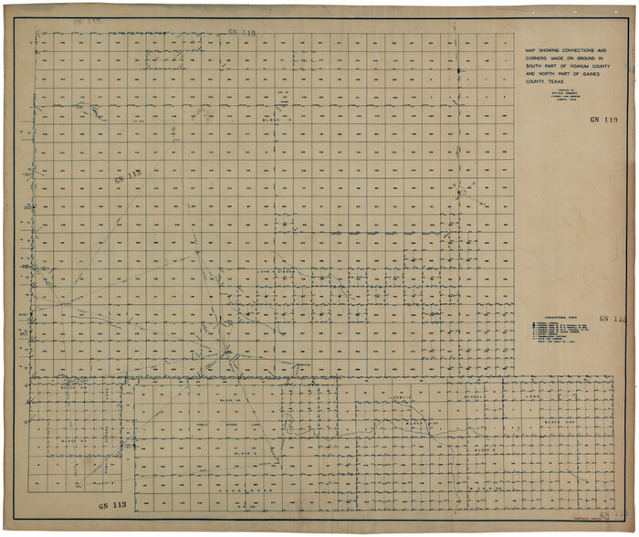
Map showing connections and corners made on ground in south part of Yoakum County and north part of Gaines County, Texas

Print $20.00
- Digital $50.00
Map showing connections and corners made on ground in south part of Yoakum County and north part of Gaines County, Texas
1938
Size 43.7 x 36.5 inches
Map/Doc 93255
[Surveys on the south side of the Canadian River]
![91788, [Surveys on the south side of the Canadian River], Twichell Survey Records](https://historictexasmaps.com/wmedia_w700/maps/91788-1.tif.jpg)
![91788, [Surveys on the south side of the Canadian River], Twichell Survey Records](https://historictexasmaps.com/wmedia_w700/maps/91788-1.tif.jpg)
Print $3.00
- Digital $50.00
[Surveys on the south side of the Canadian River]
Size 11.2 x 15.9 inches
Map/Doc 91788
[Plat of Survey 1, Block B]
![91448, [Plat of Survey 1, Block B], Twichell Survey Records](https://historictexasmaps.com/wmedia_w700/maps/91448-1.tif.jpg)
![91448, [Plat of Survey 1, Block B], Twichell Survey Records](https://historictexasmaps.com/wmedia_w700/maps/91448-1.tif.jpg)
Print $3.00
- Digital $50.00
[Plat of Survey 1, Block B]
1907
Size 11.7 x 12.6 inches
Map/Doc 91448
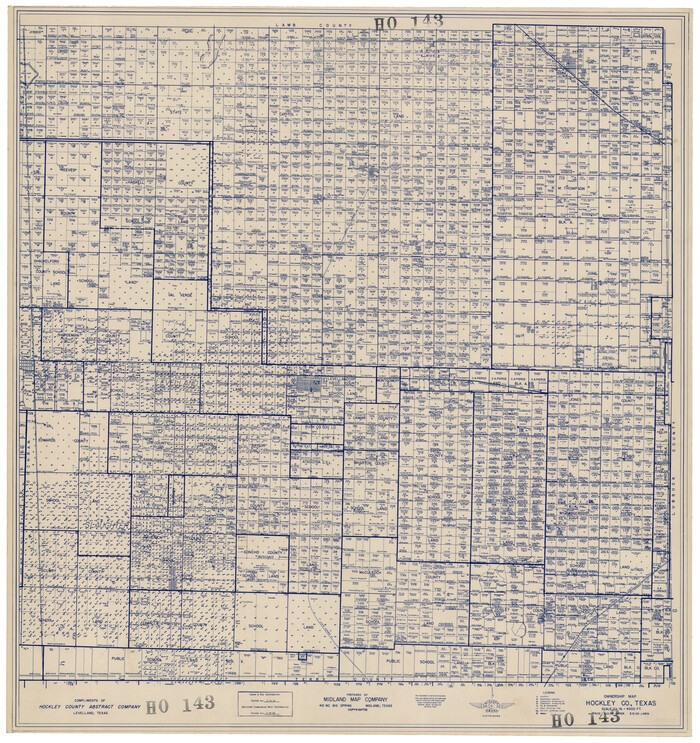
Ownership Map Hockley County, Texas

Print $20.00
- Digital $50.00
Ownership Map Hockley County, Texas
Size 19.1 x 20.4 inches
Map/Doc 92208
[Township 4 North, Block 33]
![91216, [Township 4 North, Block 33], Twichell Survey Records](https://historictexasmaps.com/wmedia_w700/maps/91216-1.tif.jpg)
![91216, [Township 4 North, Block 33], Twichell Survey Records](https://historictexasmaps.com/wmedia_w700/maps/91216-1.tif.jpg)
Print $3.00
- Digital $50.00
[Township 4 North, Block 33]
Size 11.3 x 12.0 inches
Map/Doc 91216
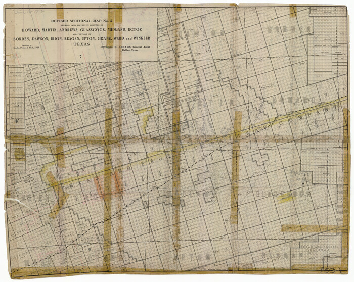
Revised Sectional Map Number 2, Showing Land Surveys in Counties of Howard, Martin, Andrews, Glasscock, Midland, Ector, and Portions of Borden, Dawson, Irion, Reagan, Upton, Crane, Ward, and Winkler, Texas

Print $20.00
- Digital $50.00
Revised Sectional Map Number 2, Showing Land Surveys in Counties of Howard, Martin, Andrews, Glasscock, Midland, Ector, and Portions of Borden, Dawson, Irion, Reagan, Upton, Crane, Ward, and Winkler, Texas
Size 24.8 x 19.7 inches
Map/Doc 91357
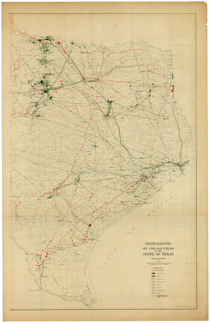
Oil and Gas Fields of the State of Texas

Print $40.00
- Digital $50.00
Oil and Gas Fields of the State of Texas
1931
Size 38.4 x 59.2 inches
Map/Doc 89885
[W. T. Brewer: M. McDonald, Ralph Gilpin, A. Vanhooser, John Baker, John R. Taylor Surveys]
![90963, [W. T. Brewer: M. McDonald, Ralph Gilpin, A. Vanhooser, John Baker, John R. Taylor Surveys], Twichell Survey Records](https://historictexasmaps.com/wmedia_w700/maps/90963-1.tif.jpg)
![90963, [W. T. Brewer: M. McDonald, Ralph Gilpin, A. Vanhooser, John Baker, John R. Taylor Surveys], Twichell Survey Records](https://historictexasmaps.com/wmedia_w700/maps/90963-1.tif.jpg)
Print $2.00
- Digital $50.00
[W. T. Brewer: M. McDonald, Ralph Gilpin, A. Vanhooser, John Baker, John R. Taylor Surveys]
Size 8.8 x 11.3 inches
Map/Doc 90963
You may also like
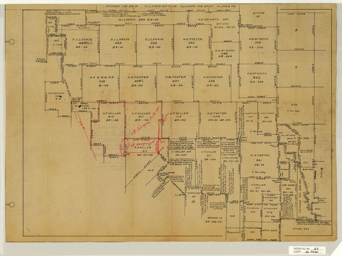
El Paso County Sketch File 27

Print $20.00
- Digital $50.00
El Paso County Sketch File 27
Size 18.3 x 24.5 inches
Map/Doc 11458
Gillespie County Sketch File 3


Print $4.00
- Digital $50.00
Gillespie County Sketch File 3
1847
Size 11.2 x 8.0 inches
Map/Doc 24129
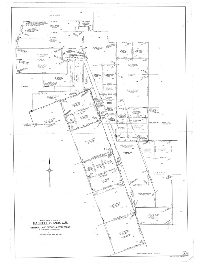
Haskell County Working Sketch 7

Print $40.00
- Digital $50.00
Haskell County Working Sketch 7
1956
Size 52.1 x 39.0 inches
Map/Doc 66065
Harris County Working Sketch 7


Print $20.00
- Digital $50.00
Harris County Working Sketch 7
1900
Size 34.2 x 28.6 inches
Map/Doc 65899
San Patricio County


Print $40.00
- Digital $50.00
San Patricio County
1939
Size 39.3 x 48.3 inches
Map/Doc 73283
Travis County Boundary File 3

Print $41.00
- Digital $50.00
Travis County Boundary File 3
Size 9.5 x 8.6 inches
Map/Doc 59409
Denison, Grayson County, Texas


Print $20.00
- Digital $50.00
Denison, Grayson County, Texas
1891
Size 23.7 x 35.7 inches
Map/Doc 97032
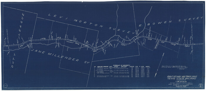
Right-of-Way and Track Map, Texas State Railroad operated by the T. and N. O. R.R. Co.

Print $40.00
- Digital $50.00
Right-of-Way and Track Map, Texas State Railroad operated by the T. and N. O. R.R. Co.
1917
Size 24.3 x 55.7 inches
Map/Doc 64176
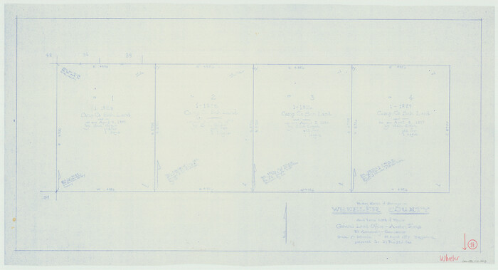
Wheeler County Working Sketch 14

Print $20.00
- Digital $50.00
Wheeler County Working Sketch 14
1979
Size 20.1 x 37.2 inches
Map/Doc 72503
Aransas County Rolled Sketch 30


Print $40.00
- Digital $50.00
Aransas County Rolled Sketch 30
1909
Size 15.9 x 61.6 inches
Map/Doc 8422
From Citizens of Fannin County for the Creation of a New County to be Called Sherman, December 1, 1845


Print $20.00
From Citizens of Fannin County for the Creation of a New County to be Called Sherman, December 1, 1845
2020
Size 16.7 x 21.7 inches
Map/Doc 96397
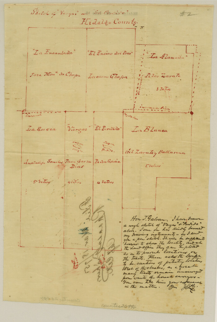
Hidalgo County Sketch File 18

Print $4.00
- Digital $50.00
Hidalgo County Sketch File 18
Size 12.0 x 8.1 inches
Map/Doc 26446
![93153, [Public School Land Blocks], Twichell Survey Records](https://historictexasmaps.com/wmedia_w1800h1800/maps/93153-1.tif.jpg)