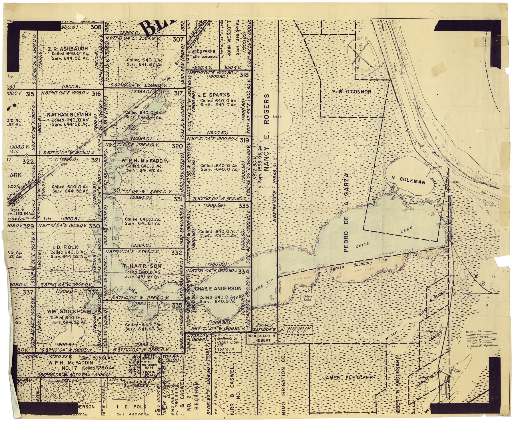
Jefferson County Rolled Sketch 50
[Map of surveys around Keith Lake, Johnson Lake & Salt Bayou]
-
Map/Doc
9306
-
Collection
General Map Collection
-
Object Dates
11/7/1963 (File Date)
-
Counties
Jefferson
-
Subjects
Surveying Rolled Sketch
-
Height x Width
34.2 x 41.6 inches
86.9 x 105.7 cm
-
Medium
blueprint/diazo
Part of: General Map Collection
Jasper County Working Sketch 14

Print $40.00
- Digital $50.00
Jasper County Working Sketch 14
1920
Size 37.9 x 55.1 inches
Map/Doc 66476
Falls County Boundary File 3

Print $15.00
- Digital $50.00
Falls County Boundary File 3
Size 8.6 x 3.8 inches
Map/Doc 53266
Street guide and metropolitan map of New Orleans [Verso]
![94199, Street guide and metropolitan map of New Orleans [Verso], General Map Collection](https://historictexasmaps.com/wmedia_w700/maps/94199.tif.jpg)
Street guide and metropolitan map of New Orleans [Verso]
1963
Size 18.3 x 27.1 inches
Map/Doc 94199
Medina County Rolled Sketch 2

Print $20.00
- Digital $50.00
Medina County Rolled Sketch 2
1936
Size 31.3 x 28.6 inches
Map/Doc 6739
Colorado County Sketch File 3b

Print $4.00
- Digital $50.00
Colorado County Sketch File 3b
Size 7.0 x 8.2 inches
Map/Doc 18913
Coast Chart No. 209 - Aransas Pass, Aransas and Copano Bays, Texas

Print $20.00
- Digital $50.00
Coast Chart No. 209 - Aransas Pass, Aransas and Copano Bays, Texas
1906
Size 40.2 x 33.8 inches
Map/Doc 73430
The Western Coast of Louisiana and The Coast of New Leon

Print $20.00
- Digital $50.00
The Western Coast of Louisiana and The Coast of New Leon
1775
Size 21.1 x 28.7 inches
Map/Doc 93705
Real County Rolled Sketch 3

Print $20.00
- Digital $50.00
Real County Rolled Sketch 3
1955
Size 14.6 x 23.3 inches
Map/Doc 7453
Hudspeth County Rolled Sketch 43

Print $40.00
- Digital $50.00
Hudspeth County Rolled Sketch 43
1932
Size 155.2 x 14.6 inches
Map/Doc 9216
Nueces County Rolled Sketch 102

Print $131.00
Nueces County Rolled Sketch 102
1985
Size 18.2 x 24.7 inches
Map/Doc 7068
Aransas County Rolled Sketch 17

Aransas County Rolled Sketch 17
1953
Size 10.5 x 15.2 inches
Map/Doc 42219
Treaty to Resolve Pending Boundary Differences and Maintain the Rio Grande and Colorado River as the International Boundary Between the United States of American and Mexico

Print $20.00
- Digital $50.00
Treaty to Resolve Pending Boundary Differences and Maintain the Rio Grande and Colorado River as the International Boundary Between the United States of American and Mexico
1970
Size 10.9 x 35.6 inches
Map/Doc 83104
You may also like
[Block J and Headright Detail]
![91142, [Block J and Headright Detail], Twichell Survey Records](https://historictexasmaps.com/wmedia_w700/maps/91142-1.tif.jpg)
Print $2.00
- Digital $50.00
[Block J and Headright Detail]
Size 6.8 x 10.1 inches
Map/Doc 91142
Part of Garza, Crosby, Lynn, and Lubbock Counties

Print $20.00
- Digital $50.00
Part of Garza, Crosby, Lynn, and Lubbock Counties
1912
Size 25.4 x 20.4 inches
Map/Doc 91328
McCulloch County Rolled Sketch 11

Print $20.00
- Digital $50.00
McCulloch County Rolled Sketch 11
1992
Size 46.3 x 40.3 inches
Map/Doc 9499
Yoakum County Sketch File 13

Print $49.00
- Digital $50.00
Yoakum County Sketch File 13
1898
Size 8.3 x 8.6 inches
Map/Doc 40767
[Sketch for Mineral Application 19443 - Brazos River]
![65683, [Sketch for Mineral Application 19443 - Brazos River], General Map Collection](https://historictexasmaps.com/wmedia_w700/maps/65683.tif.jpg)
Print $40.00
- Digital $50.00
[Sketch for Mineral Application 19443 - Brazos River]
1853
Size 117.1 x 30.5 inches
Map/Doc 65683
Kerr County Rolled Sketch 16

Print $20.00
- Digital $50.00
Kerr County Rolled Sketch 16
1951
Size 40.6 x 31.1 inches
Map/Doc 9346
Flight Mission No. CUG-3P, Frame 14, Kleberg County

Print $20.00
- Digital $50.00
Flight Mission No. CUG-3P, Frame 14, Kleberg County
1956
Size 18.7 x 22.3 inches
Map/Doc 86224
Crane County Working Sketch 19

Print $20.00
- Digital $50.00
Crane County Working Sketch 19
1958
Size 28.6 x 38.8 inches
Map/Doc 68296
Brewster County Rolled Sketch 93

Print $20.00
- Digital $50.00
Brewster County Rolled Sketch 93
1935
Size 24.1 x 43.1 inches
Map/Doc 5251
Knox County Boundary File 104

Print $10.00
- Digital $50.00
Knox County Boundary File 104
Size 9.2 x 7.4 inches
Map/Doc 65051
Lamb County Sketch File C

Print $18.00
- Digital $50.00
Lamb County Sketch File C
1904
Size 10.2 x 8.4 inches
Map/Doc 29347
Texas Gulf Coast, from the Sabine River to the Rio Grande as Subdivided for Mineral Development; Galveston, Brazoria and Matagorda Counties

Print $40.00
- Digital $50.00
Texas Gulf Coast, from the Sabine River to the Rio Grande as Subdivided for Mineral Development; Galveston, Brazoria and Matagorda Counties
1976
Size 43.8 x 69.3 inches
Map/Doc 1938