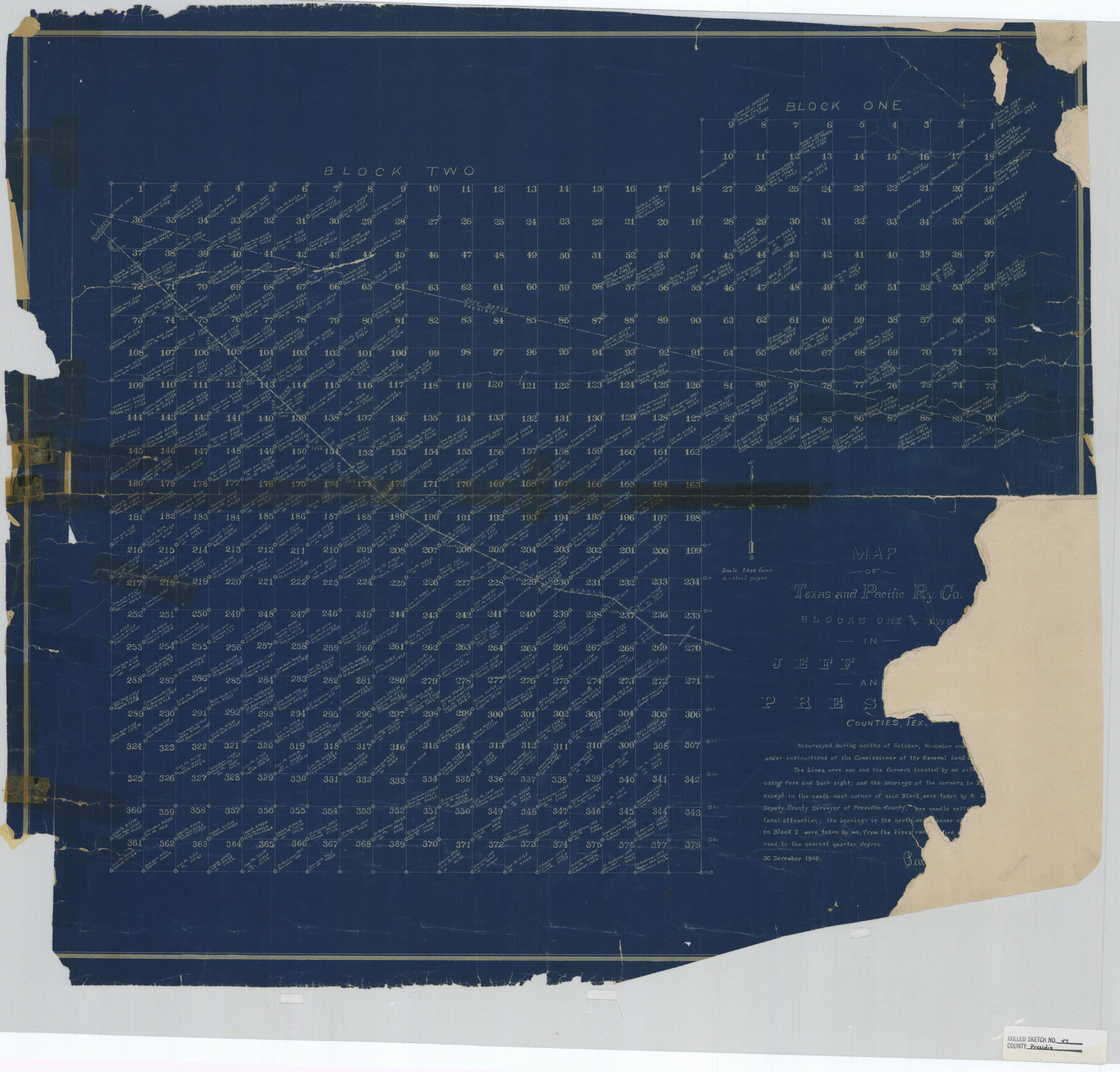
Presidio County Rolled Sketch 47
Map of Texas and Pacific Ry. Co. Blocks One and Two in Jeff Davis and Presidio Counties, Tex.
-
Map/Doc
7343
-
Collection
General Map Collection
-
Object Dates
1908/12/30 (Creation Date)
-
People and Organizations
Paul McCombs (Surveyor/Engineer)
-
Counties
Presidio Jeff Davis
-
Subjects
Surveying Rolled Sketch
-
Height x Width
30.8 x 32.2 inches
78.2 x 81.8 cm
-
Medium
blueprint/diazo
-
Scale
1" = 2000 varas
Part of: General Map Collection
Crockett County Working Sketch 84

Print $40.00
- Digital $50.00
Crockett County Working Sketch 84
1976
Size 49.4 x 26.2 inches
Map/Doc 68417
McMullen County Sketch File 21

Print $4.00
- Digital $50.00
McMullen County Sketch File 21
1876
Size 10.0 x 8.0 inches
Map/Doc 31375
United States Atlantic and Gulf Coasts Including Puerto Rico and the Virgin Islands

Print $40.00
- Digital $50.00
United States Atlantic and Gulf Coasts Including Puerto Rico and the Virgin Islands
1992
Size 21.6 x 60.4 inches
Map/Doc 76124
Lubbock County

Print $20.00
- Digital $50.00
Lubbock County
1892
Size 25.0 x 20.6 inches
Map/Doc 66910
Flight Mission No. DIX-6P, Frame 124, Aransas County

Print $20.00
- Digital $50.00
Flight Mission No. DIX-6P, Frame 124, Aransas County
1956
Size 19.0 x 22.4 inches
Map/Doc 83830
Liberty County Sketch File 4

Print $4.00
- Digital $50.00
Liberty County Sketch File 4
1856
Size 12.2 x 7.8 inches
Map/Doc 29885
Brooks County Boundary File 1

Print $54.00
- Digital $50.00
Brooks County Boundary File 1
Size 9.0 x 8.6 inches
Map/Doc 50809
La Salle County Rolled Sketch 7

Print $40.00
- Digital $50.00
La Salle County Rolled Sketch 7
Size 38.7 x 48.0 inches
Map/Doc 10652
Live Oak County Sketch File 1

Print $4.00
- Digital $50.00
Live Oak County Sketch File 1
1856
Size 11.5 x 7.8 inches
Map/Doc 30251
Presidio County Working Sketch 16

Print $20.00
- Digital $50.00
Presidio County Working Sketch 16
1942
Size 22.0 x 41.4 inches
Map/Doc 71692
Lamar County Sketch File 10

Print $4.00
- Digital $50.00
Lamar County Sketch File 10
1872
Size 8.1 x 9.9 inches
Map/Doc 29293
Wise County Sketch File 14

Print $24.00
- Digital $50.00
Wise County Sketch File 14
1855
Size 12.8 x 8.2 inches
Map/Doc 40548
You may also like
Jefferson County Rolled Sketch 18

Print $40.00
- Digital $50.00
Jefferson County Rolled Sketch 18
1931
Size 19.1 x 72.8 inches
Map/Doc 9282
Right of Way and Track Map International & Gt Northern Ry. operated by the International & Gt. Northern Ry. Co., San Antonio Division

Print $40.00
- Digital $50.00
Right of Way and Track Map International & Gt Northern Ry. operated by the International & Gt. Northern Ry. Co., San Antonio Division
1917
Size 25.5 x 57.3 inches
Map/Doc 64589
Pecos County Sketch File 74

Print $8.00
- Digital $50.00
Pecos County Sketch File 74
1941
Size 14.1 x 8.8 inches
Map/Doc 33900
No. 1 - Survey for a road from the Brazo Santiago to the Rio Grande

Print $20.00
- Digital $50.00
No. 1 - Survey for a road from the Brazo Santiago to the Rio Grande
1847
Size 18.3 x 27.2 inches
Map/Doc 72874
Mills County Working Sketch 1

Print $20.00
- Digital $50.00
Mills County Working Sketch 1
Size 18.2 x 23.4 inches
Map/Doc 71031
Brazos River Entrance

Print $20.00
- Digital $50.00
Brazos River Entrance
1925
Size 31.0 x 41.4 inches
Map/Doc 69974
Topographical Map of the Rio Grande from Roma to the Gulf of Mexico, Index Map, Sheet No. 1

Print $20.00
- Digital $50.00
Topographical Map of the Rio Grande from Roma to the Gulf of Mexico, Index Map, Sheet No. 1
1912
Map/Doc 89523
Flight Mission No. BQR-5K, Frame 72, Brazoria County

Print $20.00
- Digital $50.00
Flight Mission No. BQR-5K, Frame 72, Brazoria County
1952
Size 18.9 x 22.4 inches
Map/Doc 84017
Map of Matagorda County

Print $20.00
- Digital $50.00
Map of Matagorda County
1883
Size 29.4 x 26.6 inches
Map/Doc 3840
Map of La Salle County

Print $20.00
- Digital $50.00
Map of La Salle County
1879
Size 26.2 x 25.3 inches
Map/Doc 3799
General Highway Map, Burnet County, Texas

Print $20.00
General Highway Map, Burnet County, Texas
1961
Size 18.0 x 24.6 inches
Map/Doc 79392
Zavala County

Print $40.00
- Digital $50.00
Zavala County
1977
Size 43.9 x 49.2 inches
Map/Doc 73334