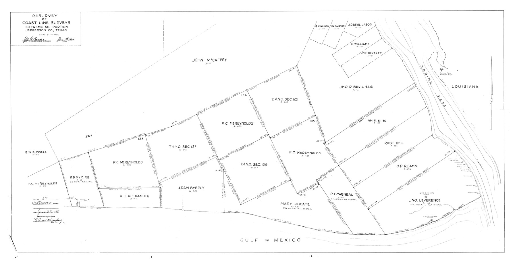
Jefferson County Rolled Sketch 27
Resurvey of coast line surveys, extreme SE portion Jefferson Co., Texas
-
Map/Doc
9292
-
Collection
General Map Collection
-
Object Dates
1948/6/7 (Creation Date)
1948/6/22 (File Date)
-
People and Organizations
Jas. G. Barker (Surveyor/Engineer)
-
Counties
Jefferson
-
Subjects
Surveying Rolled Sketch
-
Height x Width
24.2 x 46.6 inches
61.5 x 118.4 cm
-
Scale
1" = 400 varas
Part of: General Map Collection
[Surveys in Vehlein's Colony along the San Jacinto River]
![27, [Surveys in Vehlein's Colony along the San Jacinto River], General Map Collection](https://historictexasmaps.com/wmedia_w700/maps/27.tif.jpg)
Print $20.00
- Digital $50.00
[Surveys in Vehlein's Colony along the San Jacinto River]
1837
Size 19.4 x 15.7 inches
Map/Doc 27
Eastland County Working Sketch 29

Print $20.00
- Digital $50.00
Eastland County Working Sketch 29
1952
Size 21.1 x 22.3 inches
Map/Doc 68810
Denton County Working Sketch 24

Print $20.00
- Digital $50.00
Denton County Working Sketch 24
1989
Size 22.2 x 30.0 inches
Map/Doc 68629
Terrell County Rolled Sketch 40

Print $20.00
- Digital $50.00
Terrell County Rolled Sketch 40
1943
Size 16.7 x 18.1 inches
Map/Doc 7944
San Saba County Sketch File 1

Print $46.00
- Digital $50.00
San Saba County Sketch File 1
1854
Size 9.1 x 7.8 inches
Map/Doc 36400
Dallas County Sketch File 11

Print $12.00
- Digital $50.00
Dallas County Sketch File 11
1860
Size 8.5 x 7.9 inches
Map/Doc 20416
'The Cradle of Texas' - San Augustine

Print $20.00
- Digital $50.00
'The Cradle of Texas' - San Augustine
Size 19.3 x 25.3 inches
Map/Doc 94441
Fractional Township No. 8 South Range No. 1 East of the Indian Meridian, Indian Territory

Print $20.00
- Digital $50.00
Fractional Township No. 8 South Range No. 1 East of the Indian Meridian, Indian Territory
1898
Size 19.3 x 24.3 inches
Map/Doc 75200
Presidio County Rolled Sketch D3

Print $40.00
- Digital $50.00
Presidio County Rolled Sketch D3
1909
Size 57.2 x 38.5 inches
Map/Doc 9776
Real County Working Sketch 50

Print $20.00
- Digital $50.00
Real County Working Sketch 50
1957
Size 19.8 x 26.1 inches
Map/Doc 71942
Coast Chart No. 210 Aransas Pass and Corpus Christi Bay with the coast to latitude 27° 12' Texas

Print $20.00
- Digital $50.00
Coast Chart No. 210 Aransas Pass and Corpus Christi Bay with the coast to latitude 27° 12' Texas
1887
Size 27.3 x 18.3 inches
Map/Doc 72803
Newton County Sketch File 45

Print $12.00
- Digital $50.00
Newton County Sketch File 45
1957
Size 14.1 x 8.7 inches
Map/Doc 32445
You may also like
Coke County Boundary File 4

Print $44.00
- Digital $50.00
Coke County Boundary File 4
Size 14.3 x 8.7 inches
Map/Doc 51593
Brooks County Sketch File 4

Print $4.00
- Digital $50.00
Brooks County Sketch File 4
Size 14.3 x 8.7 inches
Map/Doc 16549
Flight Mission No. DAG-28K, Frame 30, Matagorda County

Print $20.00
- Digital $50.00
Flight Mission No. DAG-28K, Frame 30, Matagorda County
1953
Size 16.1 x 16.1 inches
Map/Doc 86598
Jasper County Working Sketch 27

Print $20.00
- Digital $50.00
Jasper County Working Sketch 27
1954
Size 38.3 x 19.4 inches
Map/Doc 66489
Bosque County Sketch File 29

Print $6.00
- Digital $50.00
Bosque County Sketch File 29
1863
Size 12.9 x 8.1 inches
Map/Doc 14816
Jeff Davis County Sketch File 41

Print $40.00
- Digital $50.00
Jeff Davis County Sketch File 41
1959
Size 13.3 x 13.4 inches
Map/Doc 28064

Kleberg County Rolled Sketch 10-21

Print $20.00
- Digital $50.00
Kleberg County Rolled Sketch 10-21
1952
Size 37.5 x 32.9 inches
Map/Doc 9403
Right of Way & Track Map, San Antonio & Aransas Pass Railway Co.

Print $40.00
- Digital $50.00
Right of Way & Track Map, San Antonio & Aransas Pass Railway Co.
1919
Size 25.3 x 56.6 inches
Map/Doc 64214
Jasper County Sketch File 32

Print $20.00
- Digital $50.00
Jasper County Sketch File 32
1906
Size 28.0 x 22.3 inches
Map/Doc 11853
Swisher County Rolled Sketch 5

Print $20.00
- Digital $50.00
Swisher County Rolled Sketch 5
1904
Size 18.1 x 19.4 inches
Map/Doc 7906
