[Surveys in Vehlein's Colony along the San Jacinto River]
Atlas B, Sketch 3 (B-3)
B-3
-
Map/Doc
27
-
Collection
General Map Collection
-
Object Dates
1837 - 1838 (Creation Date)
-
People and Organizations
General Land Office (Publisher)
-
Counties
Montgomery San Jacinto Walker
-
Subjects
Atlas
-
Height x Width
19.4 x 15.7 inches
49.3 x 39.9 cm
-
Medium
paper, manuscript
-
Comments
Conserved in 2004.
-
Features
San Jacinto [River], West Fork
Part of: General Map Collection
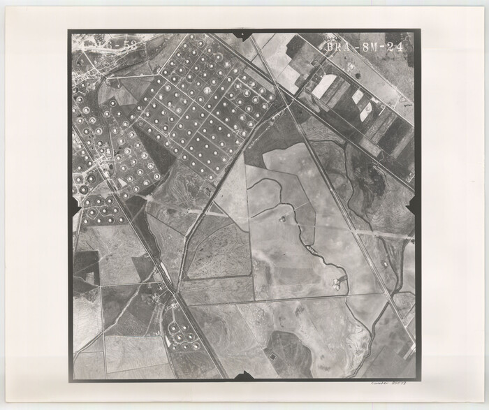
Flight Mission No. BRA-8M, Frame 24, Jefferson County

Print $20.00
- Digital $50.00
Flight Mission No. BRA-8M, Frame 24, Jefferson County
1953
Size 18.7 x 22.3 inches
Map/Doc 85579
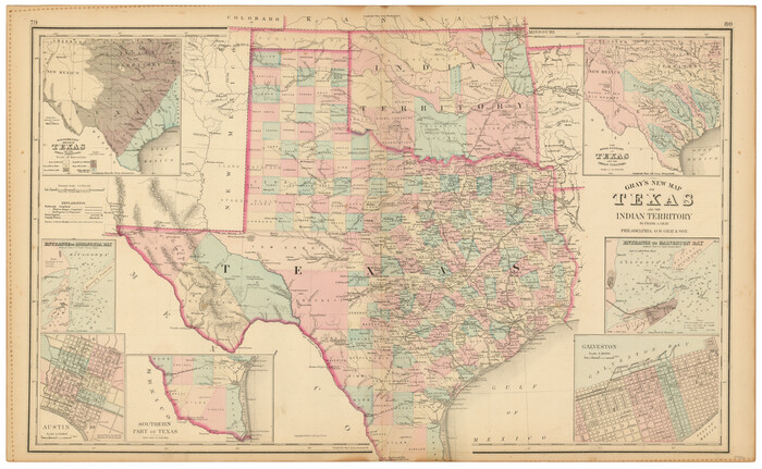
Gray's New Map of Texas and the Indian Territory

Print $20.00
- Digital $50.00
Gray's New Map of Texas and the Indian Territory
1876
Size 17.6 x 28.6 inches
Map/Doc 97282
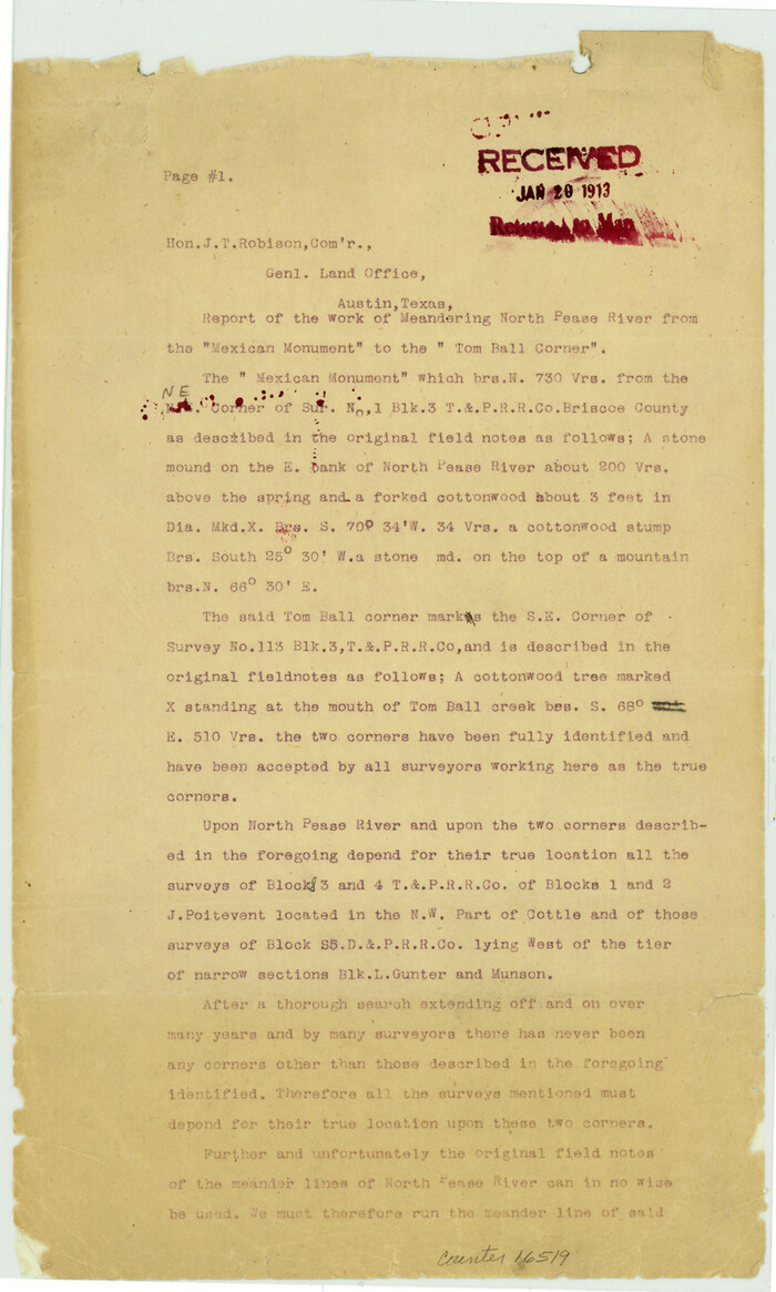
Briscoe County Sketch File 14a

Print $6.00
- Digital $50.00
Briscoe County Sketch File 14a
Size 14.3 x 8.6 inches
Map/Doc 16519
Coleman County Sketch File 34


Print $28.00
- Digital $50.00
Coleman County Sketch File 34
1878
Size 12.8 x 8.1 inches
Map/Doc 18726
Flight Mission No. BRA-7M, Frame 86, Jefferson County


Print $20.00
- Digital $50.00
Flight Mission No. BRA-7M, Frame 86, Jefferson County
1953
Size 18.7 x 22.4 inches
Map/Doc 85508
Galveston County NRC Article 33.136 Sketch 30


Print $20.00
- Digital $50.00
Galveston County NRC Article 33.136 Sketch 30
2005
Size 12.1 x 15.5 inches
Map/Doc 82997
Jeff Davis County Sketch File 46


Print $8.00
- Digital $50.00
Jeff Davis County Sketch File 46
1906
Size 13.5 x 8.8 inches
Map/Doc 28080
Kent County Boundary File 1


Print $54.00
- Digital $50.00
Kent County Boundary File 1
Size 14.2 x 8.5 inches
Map/Doc 55795
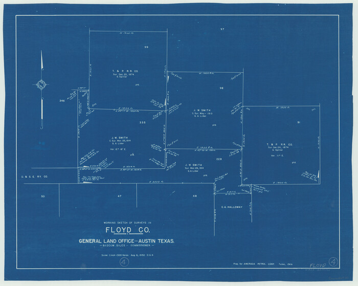
Floyd County Working Sketch 4

Print $20.00
- Digital $50.00
Floyd County Working Sketch 4
1952
Size 23.2 x 29.0 inches
Map/Doc 69183
Newton County Sketch File 12
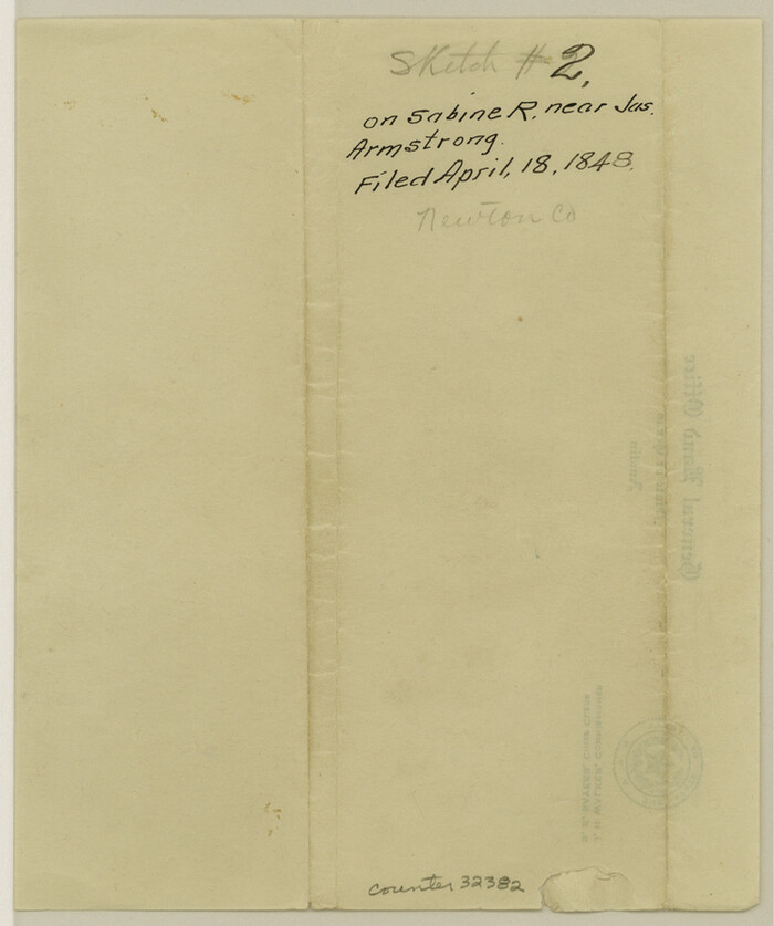

Print $8.00
- Digital $50.00
Newton County Sketch File 12
Size 8.8 x 7.4 inches
Map/Doc 32382
Childress Co.


Print $20.00
- Digital $50.00
Childress Co.
1892
Size 40.3 x 33.7 inches
Map/Doc 66752
Dimmit County Sketch File 2


Print $6.00
- Digital $50.00
Dimmit County Sketch File 2
Size 8.6 x 7.9 inches
Map/Doc 21055
You may also like
Foard County Boundary File 4a


Print $40.00
- Digital $50.00
Foard County Boundary File 4a
Size 16.9 x 45.4 inches
Map/Doc 53522
General Highway Map, Orange County, Texas


Print $20.00
General Highway Map, Orange County, Texas
1940
Size 18.3 x 24.5 inches
Map/Doc 79212
Jefferson County Sketch File 21a
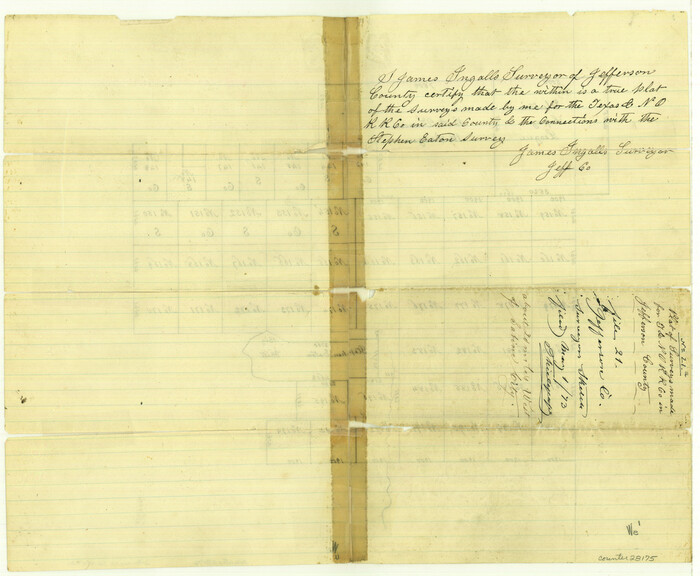

Print $44.00
- Digital $50.00
Jefferson County Sketch File 21a
Size 12.4 x 15.1 inches
Map/Doc 28175
Roberts County Working Sketch 17


Print $20.00
- Digital $50.00
Roberts County Working Sketch 17
1975
Size 36.1 x 37.3 inches
Map/Doc 63543
L'Amerique Meridionale, et Septentrionale Dressee selon les derniers Relations et suivant les Nouvelles Decouvertes


Print $20.00
- Digital $50.00
L'Amerique Meridionale, et Septentrionale Dressee selon les derniers Relations et suivant les Nouvelles Decouvertes
1726
Size 18.9 x 24.1 inches
Map/Doc 95134
Flight Mission No. BRA-8M, Frame 143, Jefferson County


Print $20.00
- Digital $50.00
Flight Mission No. BRA-8M, Frame 143, Jefferson County
1953
Size 18.9 x 22.5 inches
Map/Doc 85635
[Plat and field notes of 3.107 acre tract for Clement Cove Harbor Company]
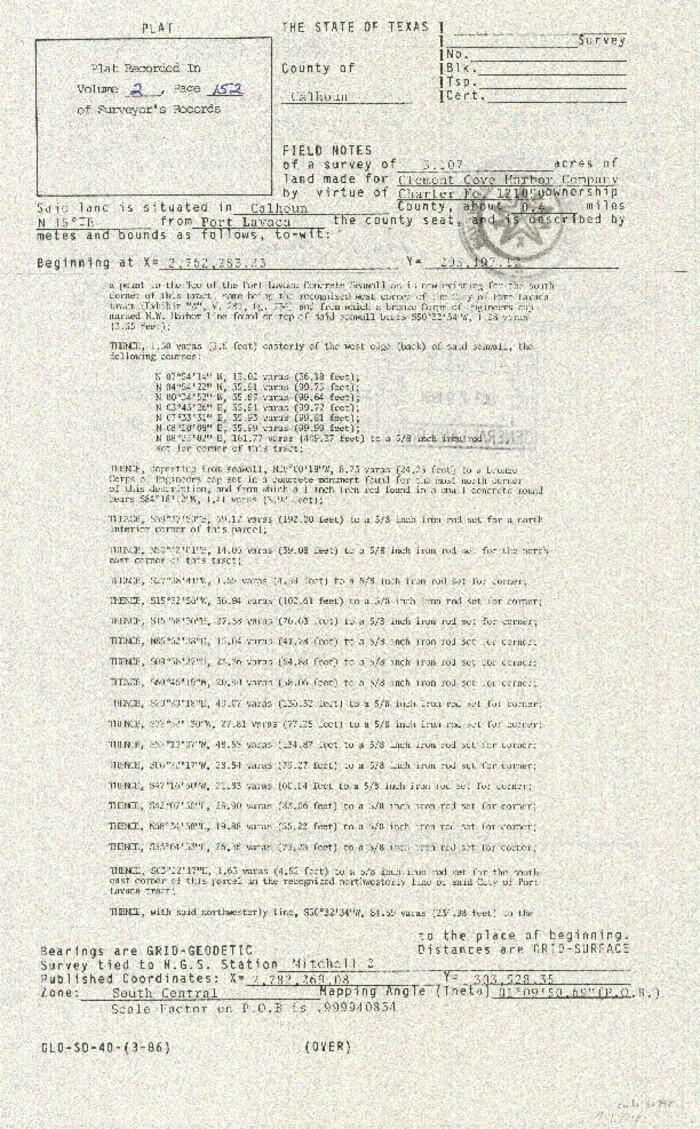

Print $2.00
- Digital $50.00
[Plat and field notes of 3.107 acre tract for Clement Cove Harbor Company]
1987
Size 13.7 x 8.5 inches
Map/Doc 60398
Runnels County Working Sketch 22
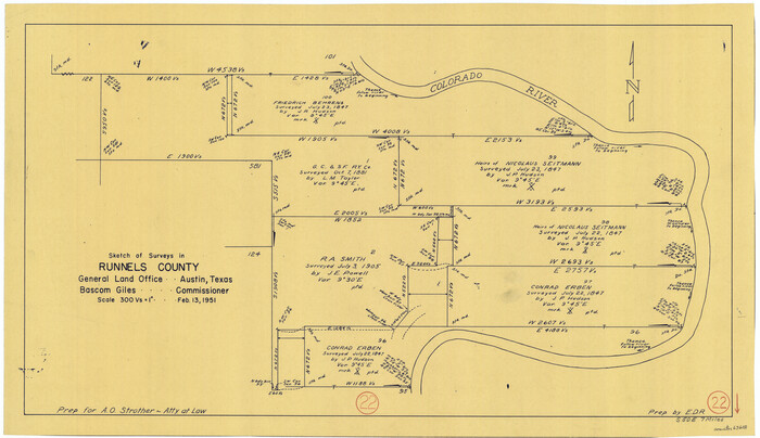

Print $20.00
- Digital $50.00
Runnels County Working Sketch 22
1951
Size 16.2 x 28.1 inches
Map/Doc 63618
Comanche County Sketch File 28
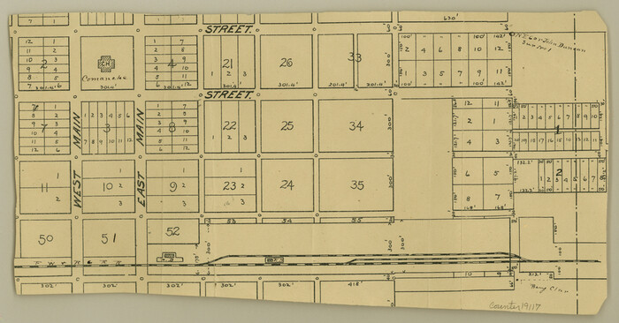

Print $6.00
- Digital $50.00
Comanche County Sketch File 28
Size 6.1 x 11.7 inches
Map/Doc 19117
Presidio County Rolled Sketch 37


Print $20.00
- Digital $50.00
Presidio County Rolled Sketch 37
Size 15.6 x 22.6 inches
Map/Doc 7335
Texas Coordinate File 5
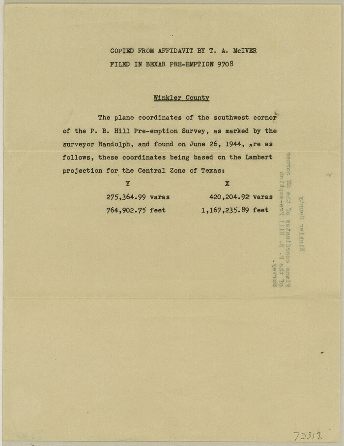

Print $4.00
- Digital $50.00
Texas Coordinate File 5
Size 11.2 x 8.7 inches
Map/Doc 75312
Subdivision of Sutton County School League 175, Bailey County, Texas
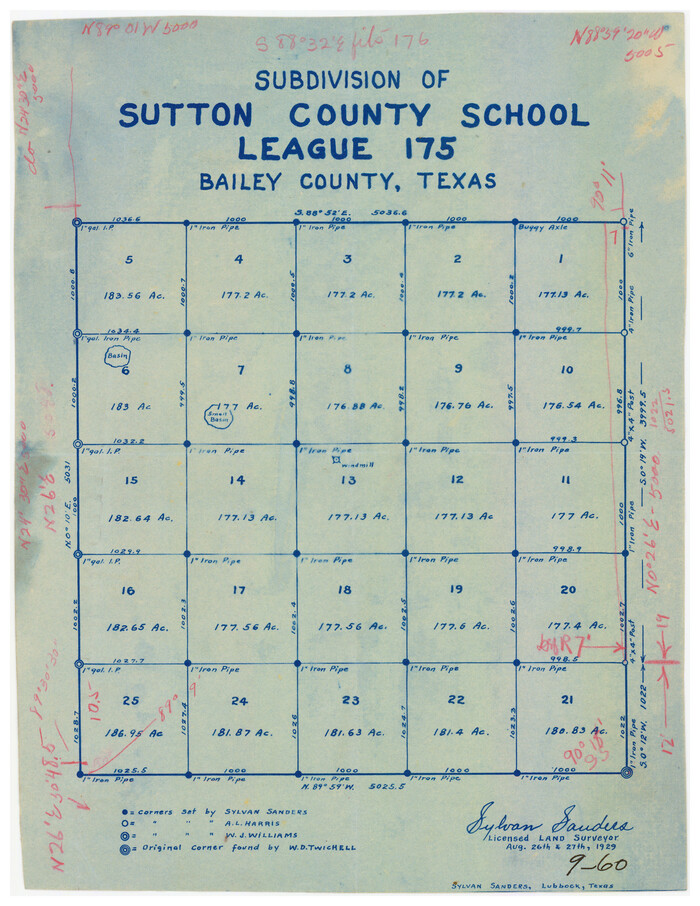

Print $2.00
- Digital $50.00
Subdivision of Sutton County School League 175, Bailey County, Texas
1929
Size 8.9 x 11.5 inches
Map/Doc 90201
![27, [Surveys in Vehlein's Colony along the San Jacinto River], General Map Collection](https://historictexasmaps.com/wmedia_w1800h1800/maps/27.tif.jpg)