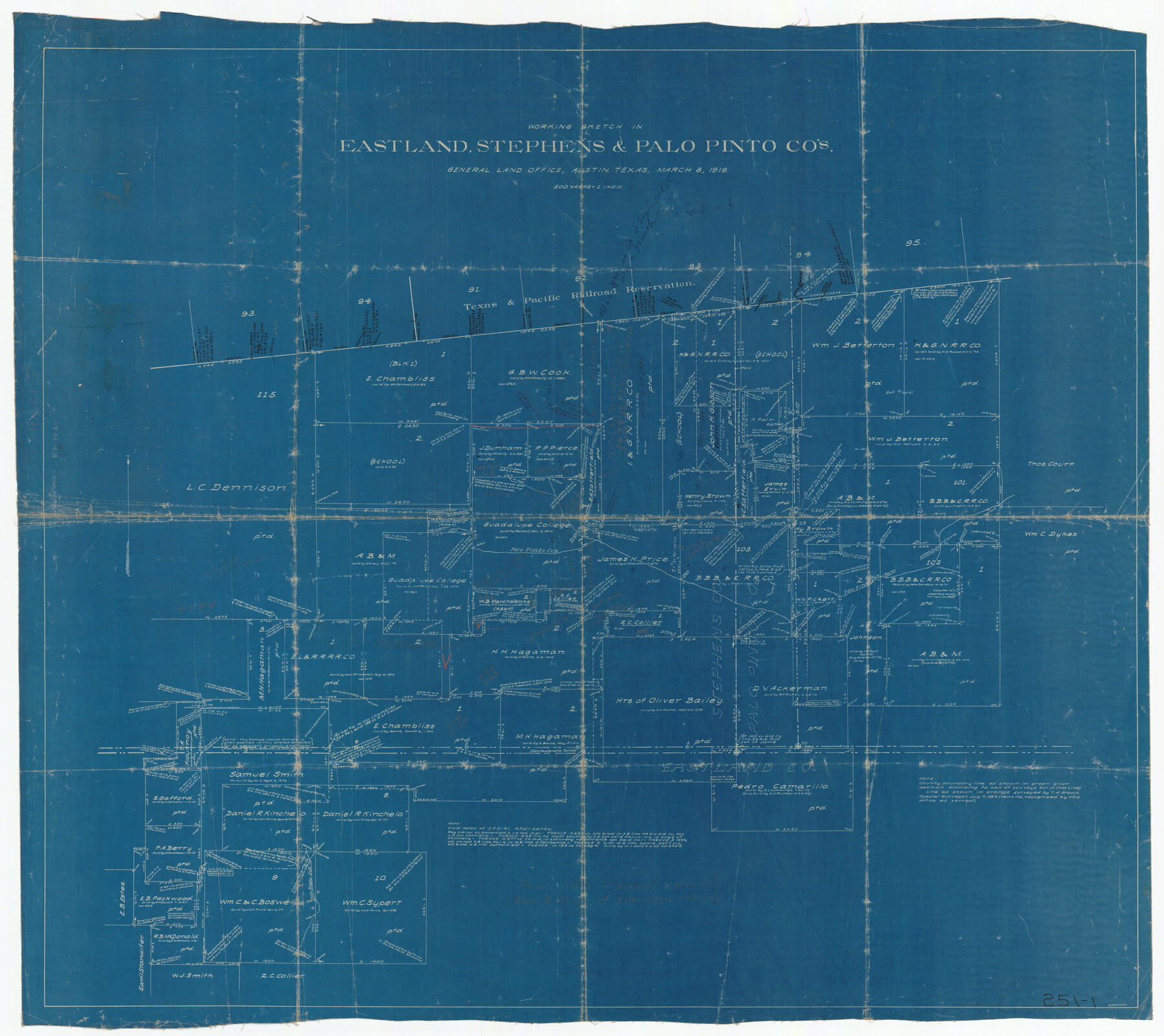
Working Sketch in Eastland, Stephens, and Palo Pinto Co's.
251-1
-
Map/Doc
91995
-
Collection
Twichell Survey Records
-
Object Dates
3/8/1919 (Creation Date)
-
People and Organizations
General Land Office (Publisher)
-
Counties
Eastland Stephens Palo Pinto
-
Height x Width
40.3 x 35.7 inches
102.4 x 90.7 cm
Part of: Twichell Survey Records
Map Prepared from Data by Original Field Book by W.D. Twichell

Print $40.00
- Digital $50.00
Map Prepared from Data by Original Field Book by W.D. Twichell
Size 64.0 x 40.0 inches
Map/Doc 89733

Moxley-McWhorter Irrigated Farm

Print $20.00
- Digital $50.00
Moxley-McWhorter Irrigated Farm
1946
Size 27.5 x 15.8 inches
Map/Doc 92338
[G. H. & H. Block 2]
![90714, [G. H. & H. Block 2], Twichell Survey Records](https://historictexasmaps.com/wmedia_w700/maps/90714-1.tif.jpg)
Print $20.00
- Digital $50.00
[G. H. & H. Block 2]
Size 24.1 x 18.5 inches
Map/Doc 90714
Killian Subdivision of the Northeast Portion of Section 42, Block AK

Print $20.00
- Digital $50.00
Killian Subdivision of the Northeast Portion of Section 42, Block AK
Size 15.9 x 14.1 inches
Map/Doc 92267
Sketch Showing Lands Southeast of Creek Outside of H. C. Sisco's Area, Exhibit H

Print $20.00
- Digital $50.00
Sketch Showing Lands Southeast of Creek Outside of H. C. Sisco's Area, Exhibit H
Size 20.0 x 24.5 inches
Map/Doc 91373
[Sketch in Sherman County around Coldwater]
![91901, [Sketch in Sherman County around Coldwater], Twichell Survey Records](https://historictexasmaps.com/wmedia_w700/maps/91901-1.tif.jpg)
Print $20.00
- Digital $50.00
[Sketch in Sherman County around Coldwater]
1888
Size 12.7 x 18.7 inches
Map/Doc 91901
Cow Bayou Oil Field, Orange County, Texas

Print $20.00
- Digital $50.00
Cow Bayou Oil Field, Orange County, Texas
Size 24.0 x 18.8 inches
Map/Doc 93016
Anton Independent School District Hockley and Lamb Counties, Texas

Print $20.00
- Digital $50.00
Anton Independent School District Hockley and Lamb Counties, Texas
Size 19.3 x 23.7 inches
Map/Doc 92215
[Sections 67-76, Block 47]
![91789, [Sections 67-76, Block 47], Twichell Survey Records](https://historictexasmaps.com/wmedia_w700/maps/91789-1.tif.jpg)
Print $2.00
- Digital $50.00
[Sections 67-76, Block 47]
Size 11.4 x 8.9 inches
Map/Doc 91789
[Showing west and north line of County]
![90652, [Showing west and north line of County], Twichell Survey Records](https://historictexasmaps.com/wmedia_w700/maps/90652-1.tif.jpg)
Print $20.00
- Digital $50.00
[Showing west and north line of County]
1885
Size 21.3 x 29.0 inches
Map/Doc 90652
[H. & G. N. Block 8 showing Llano and Espuella fence lines]
![90375, [H. & G. N. Block 8 showing Llano and Espuella fence lines], Twichell Survey Records](https://historictexasmaps.com/wmedia_w700/maps/90375-1.tif.jpg)
Print $2.00
- Digital $50.00
[H. & G. N. Block 8 showing Llano and Espuella fence lines]
Size 8.7 x 11.0 inches
Map/Doc 90375
You may also like
Navasota and Grimes County, Texas

Navasota and Grimes County, Texas
Size 25.8 x 28.5 inches
Map/Doc 96865
Nacogdoches County Sketch File 10

Print $6.00
- Digital $50.00
Nacogdoches County Sketch File 10
1886
Size 12.9 x 11.0 inches
Map/Doc 32253
Flight Mission No. CUG-3P, Frame 132, Kleberg County

Print $20.00
- Digital $50.00
Flight Mission No. CUG-3P, Frame 132, Kleberg County
1956
Size 18.4 x 22.4 inches
Map/Doc 86267
Flight Mission No. DCL-6C, Frame 173, Kenedy County

Print $20.00
- Digital $50.00
Flight Mission No. DCL-6C, Frame 173, Kenedy County
1943
Size 18.6 x 22.4 inches
Map/Doc 85985
Red River County Sketch File 13

Print $4.00
- Digital $50.00
Red River County Sketch File 13
Size 6.9 x 8.2 inches
Map/Doc 35131

Gaines County Rolled Sketch 15

Print $40.00
- Digital $50.00
Gaines County Rolled Sketch 15
Size 73.5 x 23.4 inches
Map/Doc 9035
Roberts County Working Sketch 24

Print $20.00
- Digital $50.00
Roberts County Working Sketch 24
1981
Size 25.8 x 36.9 inches
Map/Doc 63550
Andrews County Rolled Sketch 18

Print $20.00
- Digital $50.00
Andrews County Rolled Sketch 18
1942
Size 26.0 x 31.3 inches
Map/Doc 8394
Hutchinson County Sketch File 44

Print $82.00
- Digital $50.00
Hutchinson County Sketch File 44
1989
Size 11.2 x 9.0 inches
Map/Doc 27311
D. B. Gardner vs. Mrs. Clara C. Starr, Details 1, 2, 3, and 4

Print $20.00
- Digital $50.00
D. B. Gardner vs. Mrs. Clara C. Starr, Details 1, 2, 3, and 4
Size 25.1 x 30.0 inches
Map/Doc 91045
Crockett County Rolled Sketch 88B

Print $20.00
- Digital $50.00
Crockett County Rolled Sketch 88B
1973
Size 35.1 x 38.9 inches
Map/Doc 8727