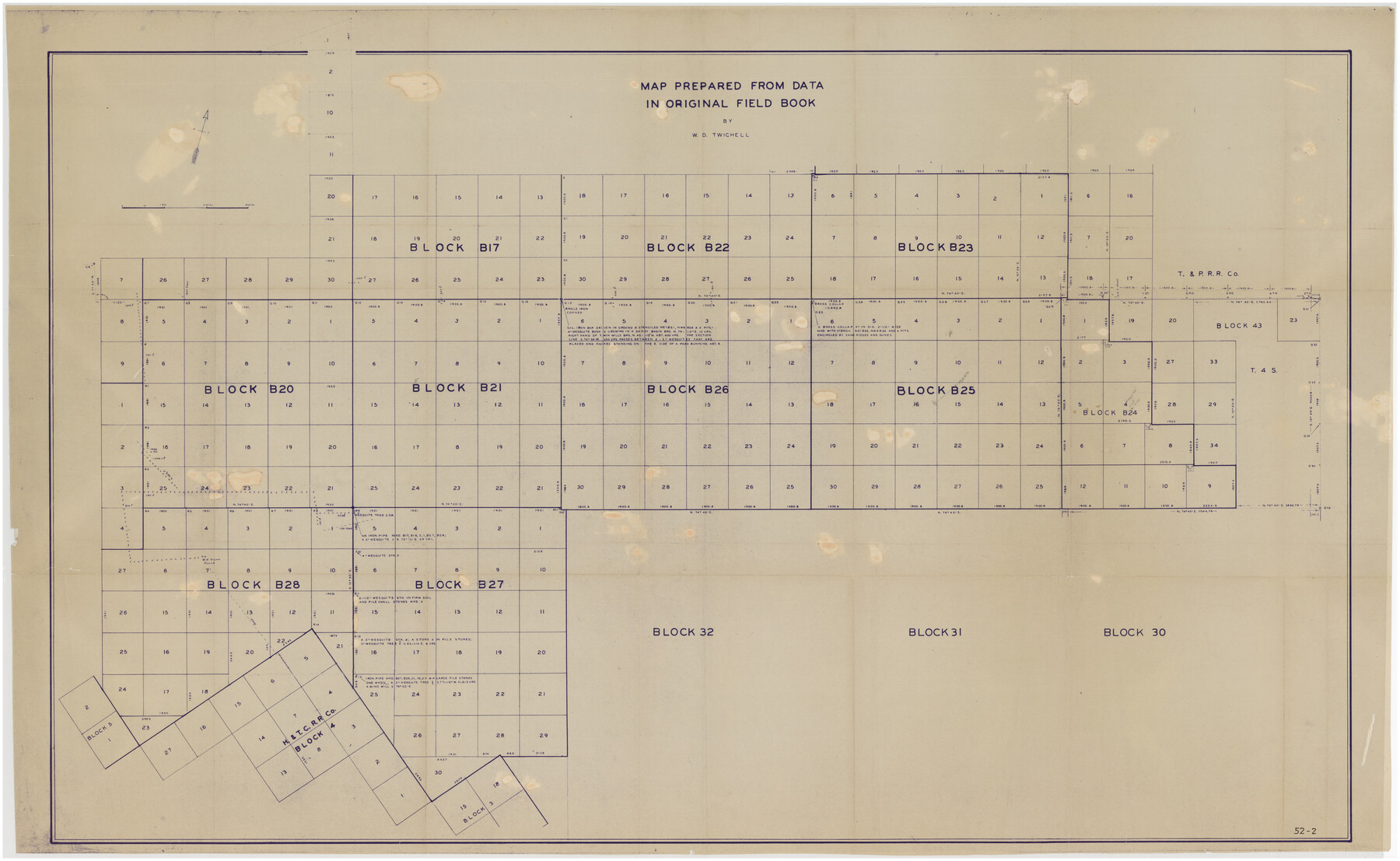
Map Prepared from Data by Original Field Book by W.D. Twichell
52-2
-
Map/Doc
89733
-
Collection
Twichell Survey Records
-
Counties
Crane Ward
-
Height x Width
64.0 x 40.0 inches
162.6 x 101.6 cm
Part of: Twichell Survey Records
[East Part of Bailey County and West Part of Lamb County]
![91048, [East Part of Bailey County and West Part of Lamb County], Twichell Survey Records](https://historictexasmaps.com/wmedia_w700/maps/91048-1.tif.jpg)
Print $20.00
- Digital $50.00
[East Part of Bailey County and West Part of Lamb County]
Size 22.5 x 18.3 inches
Map/Doc 91048
Green Memorial Park

Print $20.00
- Digital $50.00
Green Memorial Park
Size 41.4 x 20.9 inches
Map/Doc 92937
Ownership Map SW 1/4 Lubbock County

Print $20.00
- Digital $50.00
Ownership Map SW 1/4 Lubbock County
Size 33.7 x 36.8 inches
Map/Doc 89697
Working Sketch Fisher County School Land [Leagues 105-108]
![90294, Working Sketch Fisher County School Land [Leagues 105-108], Twichell Survey Records](https://historictexasmaps.com/wmedia_w700/maps/90294-1.tif.jpg)
Print $20.00
- Digital $50.00
Working Sketch Fisher County School Land [Leagues 105-108]
Size 12.9 x 16.7 inches
Map/Doc 90294
[R. T. Bucy's Survey 3, League 321]
![91296, [R. T. Bucy's Survey 3, League 321], Twichell Survey Records](https://historictexasmaps.com/wmedia_w700/maps/91296-1.tif.jpg)
Print $20.00
- Digital $50.00
[R. T. Bucy's Survey 3, League 321]
Size 12.2 x 19.1 inches
Map/Doc 91296
Slaton-Tex Sewer System

Print $20.00
- Digital $50.00
Slaton-Tex Sewer System
1922
Size 44.3 x 30.6 inches
Map/Doc 92819
[East line of Wheeler County along Oklahoma]
![89824, [East line of Wheeler County along Oklahoma], Twichell Survey Records](https://historictexasmaps.com/wmedia_w700/maps/89824-1.tif.jpg)
Print $40.00
- Digital $50.00
[East line of Wheeler County along Oklahoma]
Size 8.4 x 62.2 inches
Map/Doc 89824
Gulf Coast Oil Fields

Print $2.00
- Digital $50.00
Gulf Coast Oil Fields
Size 12.6 x 8.1 inches
Map/Doc 90135
Map of Adrian, the New Town in the Panhandle, Oldham County, Texas

Print $20.00
- Digital $50.00
Map of Adrian, the New Town in the Panhandle, Oldham County, Texas
Size 21.5 x 25.8 inches
Map/Doc 92135
[John P. Rohus and surrounding surveys]
![90974, [John P. Rohus and surrounding surveys], Twichell Survey Records](https://historictexasmaps.com/wmedia_w700/maps/90974-1.tif.jpg)
Print $20.00
- Digital $50.00
[John P. Rohus and surrounding surveys]
Size 26.1 x 19.9 inches
Map/Doc 90974
[North Part of Block G]
![92637, [North Part of Block G], Twichell Survey Records](https://historictexasmaps.com/wmedia_w700/maps/92637-1.tif.jpg)
Print $20.00
- Digital $50.00
[North Part of Block G]
Size 24.1 x 19.7 inches
Map/Doc 92637
Shackelford County

Print $20.00
- Digital $50.00
Shackelford County
1920
Size 39.2 x 46.1 inches
Map/Doc 93031
You may also like
[Maps of surveys in Reeves & Culberson Cos]
![61138, [Maps of surveys in Reeves & Culberson Cos], General Map Collection](https://historictexasmaps.com/wmedia_w700/maps/61138.tif.jpg)
Print $20.00
- Digital $50.00
[Maps of surveys in Reeves & Culberson Cos]
1937
Size 30.6 x 25.0 inches
Map/Doc 61138
Hunt County Rolled Sketch 5

Print $20.00
- Digital $50.00
Hunt County Rolled Sketch 5
1956
Size 27.5 x 24.3 inches
Map/Doc 6269
Liberty County Rolled Sketch JLW

Print $40.00
- Digital $50.00
Liberty County Rolled Sketch JLW
1935
Size 28.0 x 85.5 inches
Map/Doc 9665
Flight Mission No. BRA-16M, Frame 151, Jefferson County

Print $20.00
- Digital $50.00
Flight Mission No. BRA-16M, Frame 151, Jefferson County
1953
Size 18.7 x 22.3 inches
Map/Doc 85757
Hutchinson County Sketch File 6

Print $8.00
- Digital $50.00
Hutchinson County Sketch File 6
1890
Size 10.9 x 8.4 inches
Map/Doc 27198
Coryell County Working Sketch 22

Print $20.00
- Digital $50.00
Coryell County Working Sketch 22
1976
Size 24.9 x 35.3 inches
Map/Doc 68229
Stonewall County Rolled Sketch 30

Print $20.00
- Digital $50.00
Stonewall County Rolled Sketch 30
Size 25.5 x 37.3 inches
Map/Doc 7874
Map of Bexar County

Print $20.00
- Digital $50.00
Map of Bexar County
1878
Size 23.5 x 26.6 inches
Map/Doc 3299
Trinity River, Bazzette Sheet

Print $4.00
- Digital $50.00
Trinity River, Bazzette Sheet
1925
Size 28.2 x 24.9 inches
Map/Doc 65218
Bandera County Rolled Sketch 2

Print $20.00
- Digital $50.00
Bandera County Rolled Sketch 2
1945
Size 19.1 x 24.0 inches
Map/Doc 5114
Orange County Sketch File 34

Print $20.00
- Digital $50.00
Orange County Sketch File 34
1929
Size 23.5 x 27.7 inches
Map/Doc 12126
Reeves County Boundary File 73a

Print $16.00
- Digital $50.00
Reeves County Boundary File 73a
Size 13.3 x 8.2 inches
Map/Doc 58208