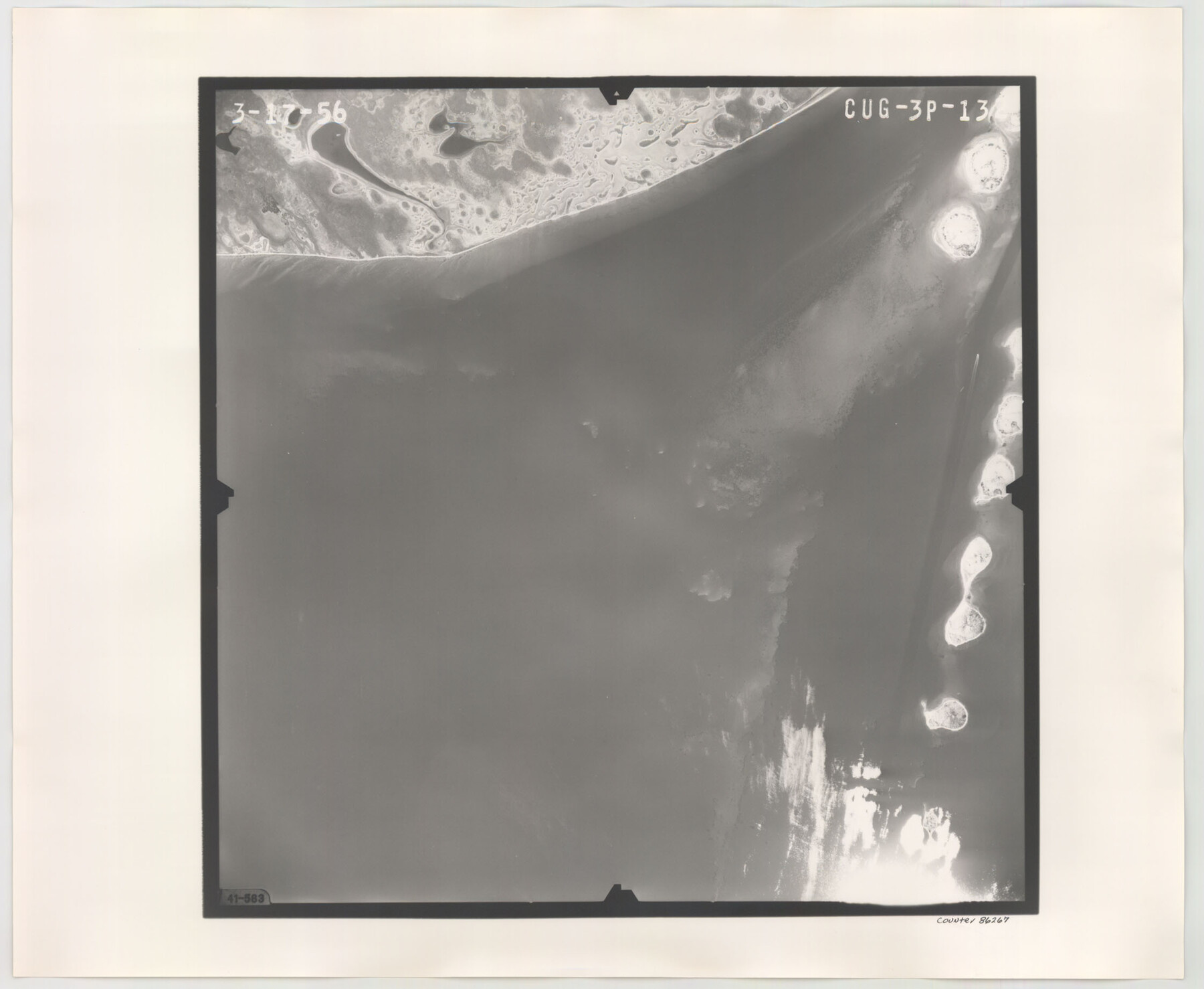
Flight Mission No. CUG-3P, Frame 132, Kleberg County
CUG-3P-132
-
Map/Doc
86267
-
Collection
General Map Collection
-
Object Dates
1956/3/17 (Creation Date)
-
People and Organizations
U. S. Department of Agriculture (Publisher)
-
Counties
Kleberg
-
Subjects
Aerial Photograph
-
Height x Width
18.4 x 22.4 inches
46.7 x 56.9 cm
-
Comments
Flown by V. L. Beavers and Associates of San Antonio, Texas.
Part of: General Map Collection
Comal County Sketch File 8

Print $6.00
- Digital $50.00
Comal County Sketch File 8
1849
Size 12.6 x 10.8 inches
Map/Doc 19013
Baylor County Rolled Sketch 9

Print $20.00
- Digital $50.00
Baylor County Rolled Sketch 9
1892
Size 18.2 x 26.1 inches
Map/Doc 5125
Hudspeth County Sketch File 44

Print $6.00
- Digital $50.00
Hudspeth County Sketch File 44
1886
Size 11.0 x 8.5 inches
Map/Doc 27027
Newton County Working Sketch 42

Print $20.00
- Digital $50.00
Newton County Working Sketch 42
1981
Size 26.4 x 22.5 inches
Map/Doc 71288
Upton County Working Sketch 17

Print $20.00
- Digital $50.00
Upton County Working Sketch 17
1941
Size 36.1 x 22.1 inches
Map/Doc 69513
The University of Texas at Austin

The University of Texas at Austin
Size 16.0 x 17.1 inches
Map/Doc 94388
Glasscock County Working Sketch 4

Print $20.00
- Digital $50.00
Glasscock County Working Sketch 4
Size 15.7 x 25.9 inches
Map/Doc 63177
[William Steele Survey near Copano Bay]
![60284, [William Steele Survey near Copano Bay], General Map Collection](https://historictexasmaps.com/wmedia_w700/maps/60284-1.tif.jpg)
Print $3.00
- Digital $50.00
[William Steele Survey near Copano Bay]
1927
Size 15.5 x 9.5 inches
Map/Doc 60284
Jefferson County Sketch File 20

Print $40.00
- Digital $50.00
Jefferson County Sketch File 20
1872
Size 12.3 x 15.0 inches
Map/Doc 28169
Hudspeth County Rolled Sketch 76

Print $40.00
- Digital $50.00
Hudspeth County Rolled Sketch 76
1992
Size 49.5 x 37.7 inches
Map/Doc 9239
Flight Mission No. DQN-1K, Frame 111, Calhoun County

Print $20.00
- Digital $50.00
Flight Mission No. DQN-1K, Frame 111, Calhoun County
1953
Size 18.5 x 22.2 inches
Map/Doc 84178
Flight Mission No. DQN-7K, Frame 13, Calhoun County

Print $20.00
- Digital $50.00
Flight Mission No. DQN-7K, Frame 13, Calhoun County
1953
Size 18.4 x 22.1 inches
Map/Doc 84464
You may also like
[Public School Land Blocks B1 and B7]
![91974, [Public School Land Blocks B1 and B7], Twichell Survey Records](https://historictexasmaps.com/wmedia_w700/maps/91974-1.tif.jpg)
Print $20.00
- Digital $50.00
[Public School Land Blocks B1 and B7]
Size 22.9 x 14.8 inches
Map/Doc 91974
Southern Pacific Lines Map of Texas

Print $20.00
- Digital $50.00
Southern Pacific Lines Map of Texas
1928
Size 27.4 x 22.4 inches
Map/Doc 95774
Galveston County NRC Article 33.136 Sketch 19

Print $50.00
- Digital $50.00
Galveston County NRC Article 33.136 Sketch 19
2002
Size 37.1 x 25.4 inches
Map/Doc 78491
Current Miscellaneous File 34

Print $10.00
- Digital $50.00
Current Miscellaneous File 34
1953
Size 14.1 x 8.7 inches
Map/Doc 73942
La Salle County Sketch File 17 and 17 1/2

Print $94.00
- Digital $50.00
La Salle County Sketch File 17 and 17 1/2
Size 8.8 x 8.1 inches
Map/Doc 29489
Flight Mission No. CUG-1P, Frame 21, Kleberg County

Print $20.00
- Digital $50.00
Flight Mission No. CUG-1P, Frame 21, Kleberg County
1956
Size 18.5 x 22.2 inches
Map/Doc 86111
Minnesota Route the shortest and best to the Idaho Gold Mines

Print $20.00
- Digital $50.00
Minnesota Route the shortest and best to the Idaho Gold Mines
Size 21.0 x 46.3 inches
Map/Doc 93989
Marion County Working Sketch Graphic Index, Sheet 2 (Sketches 27 to Most Recent)

Print $20.00
- Digital $50.00
Marion County Working Sketch Graphic Index, Sheet 2 (Sketches 27 to Most Recent)
1943
Size 26.5 x 44.9 inches
Map/Doc 76630
Stonewall County Rolled Sketch 17

Print $20.00
- Digital $50.00
Stonewall County Rolled Sketch 17
1927
Size 20.1 x 30.2 inches
Map/Doc 7871
Buchanan Dam Reservoir Clearing

Print $20.00
- Digital $50.00
Buchanan Dam Reservoir Clearing
1935
Size 21.8 x 40.4 inches
Map/Doc 60393
Fort Bend County Sketch File 3a

Print $6.00
- Digital $50.00
Fort Bend County Sketch File 3a
1874
Size 8.3 x 8.0 inches
Map/Doc 22882
Angelina County Sketch File 15g

Print $4.00
- Digital $50.00
Angelina County Sketch File 15g
1882
Size 10.9 x 8.4 inches
Map/Doc 12996