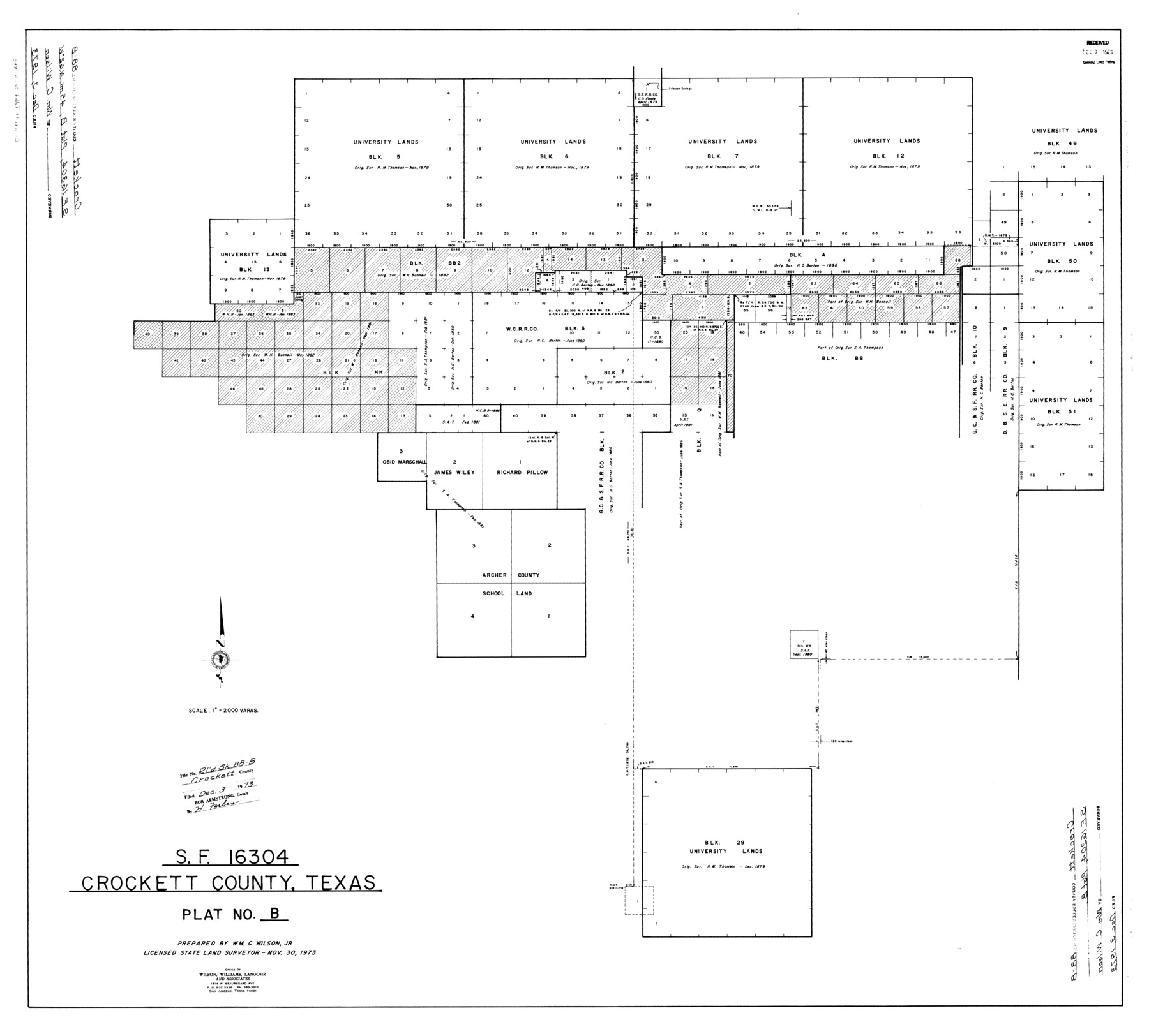
Crockett County Rolled Sketch 88B
SF-16304, Crockett County, Texas, Plat No. B
-
Map/Doc
8727
-
Collection
General Map Collection
-
Object Dates
1973/11/30 (Creation Date)
1973/12/3 (File Date)
-
People and Organizations
Wm. C. Wilson, Jr. (Surveyor/Engineer)
-
Counties
Crockett
-
Subjects
Surveying Rolled Sketch
-
Height x Width
35.1 x 38.9 inches
89.2 x 98.8 cm
-
Scale
1" = 2000 varas
Part of: General Map Collection
Sterling County Working Sketch 8

Print $20.00
- Digital $50.00
Sterling County Working Sketch 8
1972
Size 40.7 x 35.9 inches
Map/Doc 63990
Bexar County Sketch File 7

Print $4.00
- Digital $50.00
Bexar County Sketch File 7
1861
Size 8.0 x 12.9 inches
Map/Doc 14475
Martin County Sketch File 9

Print $20.00
Martin County Sketch File 9
Size 19.7 x 27.4 inches
Map/Doc 12029
Flight Mission No. BQY-14M, Frame 181, Harris County

Print $20.00
- Digital $50.00
Flight Mission No. BQY-14M, Frame 181, Harris County
1953
Size 18.7 x 22.2 inches
Map/Doc 85297
Marion County Working Sketch 23

Print $4.00
- Digital $50.00
Marion County Working Sketch 23
1960
Size 24.4 x 25.9 inches
Map/Doc 70799
Knox County Boundary File 3

Print $54.00
- Digital $50.00
Knox County Boundary File 3
Size 8.9 x 7.7 inches
Map/Doc 65019
Terrell County Working Sketch Graphic Index - sheet A

Print $20.00
- Digital $50.00
Terrell County Working Sketch Graphic Index - sheet A
1931
Size 47.9 x 39.2 inches
Map/Doc 76710
Connected Map of Austin's Colony

Print $40.00
- Digital $50.00
Connected Map of Austin's Colony
1837
Size 90.8 x 85.6 inches
Map/Doc 1944
Irion County Sketch File 12

Print $40.00
- Digital $50.00
Irion County Sketch File 12
1939
Size 15.3 x 12.4 inches
Map/Doc 27482
Eastland County Working Sketch Graphic Index

Print $20.00
- Digital $50.00
Eastland County Working Sketch Graphic Index
1945
Size 41.6 x 42.4 inches
Map/Doc 76529
Flight Mission No. DQN-5K, Frame 23, Calhoun County

Print $20.00
- Digital $50.00
Flight Mission No. DQN-5K, Frame 23, Calhoun County
1953
Size 18.5 x 22.1 inches
Map/Doc 84374
Flight Mission No. CGI-3N, Frame 98, Cameron County

Print $20.00
- Digital $50.00
Flight Mission No. CGI-3N, Frame 98, Cameron County
1954
Size 18.5 x 22.1 inches
Map/Doc 84578
You may also like
Gregg County Rolled Sketch JB1

Print $20.00
- Digital $50.00
Gregg County Rolled Sketch JB1
1933
Size 43.3 x 33.4 inches
Map/Doc 9024
Kaufman County Sketch File 19

Print $30.00
- Digital $50.00
Kaufman County Sketch File 19
1922
Size 11.2 x 8.7 inches
Map/Doc 28666
DeWitt County Sketch File 3

Print $20.00
- Digital $50.00
DeWitt County Sketch File 3
1871
Size 23.2 x 33.1 inches
Map/Doc 11312
Haskell County Working Sketch 11

Print $20.00
- Digital $50.00
Haskell County Working Sketch 11
1976
Size 38.0 x 33.4 inches
Map/Doc 66069
Wood County Working Sketch 12

Print $20.00
- Digital $50.00
Wood County Working Sketch 12
1964
Size 37.4 x 34.5 inches
Map/Doc 62012
Brazoria County Sketch File 15

Print $4.00
- Digital $50.00
Brazoria County Sketch File 15
1892
Size 12.8 x 8.4 inches
Map/Doc 14977
Starr County Sketch File 46 1/2

Print $20.00
- Digital $50.00
Starr County Sketch File 46 1/2
1978
Size 17.9 x 17.2 inches
Map/Doc 12344
Dimmit County Working Sketch 10

Print $20.00
- Digital $50.00
Dimmit County Working Sketch 10
1934
Size 24.2 x 40.3 inches
Map/Doc 68671
Hudspeth County Rolled Sketch 60

Print $20.00
- Digital $50.00
Hudspeth County Rolled Sketch 60
1982
Size 43.4 x 44.4 inches
Map/Doc 9225
Pecos County Rolled Sketch 90A

Print $20.00
- Digital $50.00
Pecos County Rolled Sketch 90A
1934
Size 27.0 x 31.1 inches
Map/Doc 7246
Navarro County

Print $40.00
- Digital $50.00
Navarro County
1924
Size 41.1 x 48.2 inches
Map/Doc 77382
Map of Brazos County, Texas

Print $20.00
- Digital $50.00
Map of Brazos County, Texas
1879
Size 21.6 x 15.3 inches
Map/Doc 597