[Norwood Homestead]
227-7
-
Map/Doc
91879
-
Collection
Twichell Survey Records
-
Counties
Travis
-
Height x Width
21.1 x 21.8 inches
53.6 x 55.4 cm
Part of: Twichell Survey Records
[State of Texas]
![92061, [State of Texas], Twichell Survey Records](https://historictexasmaps.com/wmedia_w700/maps/92061-1.tif.jpg)
![92061, [State of Texas], Twichell Survey Records](https://historictexasmaps.com/wmedia_w700/maps/92061-1.tif.jpg)
Print $20.00
- Digital $50.00
[State of Texas]
Size 13.7 x 13.7 inches
Map/Doc 92061
Map of the Northeast part of the Pitchfork Ranch


Print $20.00
- Digital $50.00
Map of the Northeast part of the Pitchfork Ranch
1916
Size 23.2 x 23.6 inches
Map/Doc 91046
Kaufman County, 1887


Print $20.00
- Digital $50.00
Kaufman County, 1887
1887
Size 42.6 x 46.1 inches
Map/Doc 89701
[East Line and Red River Railroad Company, Block Z and vicinity]
![91256, [East Line and Red River Railroad Company, Block Z and vicinity], Twichell Survey Records](https://historictexasmaps.com/wmedia_w700/maps/91256-1.tif.jpg)
![91256, [East Line and Red River Railroad Company, Block Z and vicinity], Twichell Survey Records](https://historictexasmaps.com/wmedia_w700/maps/91256-1.tif.jpg)
Print $20.00
- Digital $50.00
[East Line and Red River Railroad Company, Block Z and vicinity]
1878
Size 27.8 x 22.1 inches
Map/Doc 91256
Sectional Map of Martin County, Texas
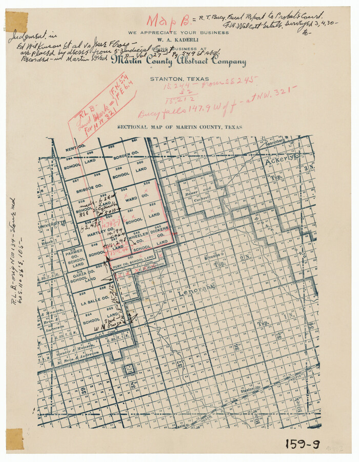

Print $3.00
- Digital $50.00
Sectional Map of Martin County, Texas
Size 9.6 x 12.1 inches
Map/Doc 91293
R. S. Coon's Blue Creek Ranch, Moore County, Texas


Print $20.00
- Digital $50.00
R. S. Coon's Blue Creek Ranch, Moore County, Texas
Size 15.8 x 15.7 inches
Map/Doc 91487
University of Texas System University Lands


Print $20.00
- Digital $50.00
University of Texas System University Lands
Size 23.2 x 17.6 inches
Map/Doc 93235
[North 1/2 of Garza County, South 1/2 of Crosby County]
![90908, [North 1/2 of Garza County, South 1/2 of Crosby County], Twichell Survey Records](https://historictexasmaps.com/wmedia_w700/maps/90908-1.tif.jpg)
![90908, [North 1/2 of Garza County, South 1/2 of Crosby County], Twichell Survey Records](https://historictexasmaps.com/wmedia_w700/maps/90908-1.tif.jpg)
Print $20.00
- Digital $50.00
[North 1/2 of Garza County, South 1/2 of Crosby County]
Size 34.7 x 31.1 inches
Map/Doc 90908
[Block C-35 Public School Land]
![93227, [Block C-35 Public School Land], Twichell Survey Records](https://historictexasmaps.com/wmedia_w700/maps/93227-1.tif.jpg)
![93227, [Block C-35 Public School Land], Twichell Survey Records](https://historictexasmaps.com/wmedia_w700/maps/93227-1.tif.jpg)
Print $20.00
- Digital $50.00
[Block C-35 Public School Land]
1943
Size 14.9 x 17.0 inches
Map/Doc 93227
[Jack County School Land, Limestone County School Land and surveys in vicinity]
![90433, [Jack County School Land, Limestone County School Land and surveys in vicinity], Twichell Survey Records](https://historictexasmaps.com/wmedia_w700/maps/90433-1.tif.jpg)
![90433, [Jack County School Land, Limestone County School Land and surveys in vicinity], Twichell Survey Records](https://historictexasmaps.com/wmedia_w700/maps/90433-1.tif.jpg)
Print $3.00
- Digital $50.00
[Jack County School Land, Limestone County School Land and surveys in vicinity]
1892
Size 10.2 x 15.1 inches
Map/Doc 90433
Subdivision of Outlots 1 and 2 in Original Townsite of Seagraves, Texas
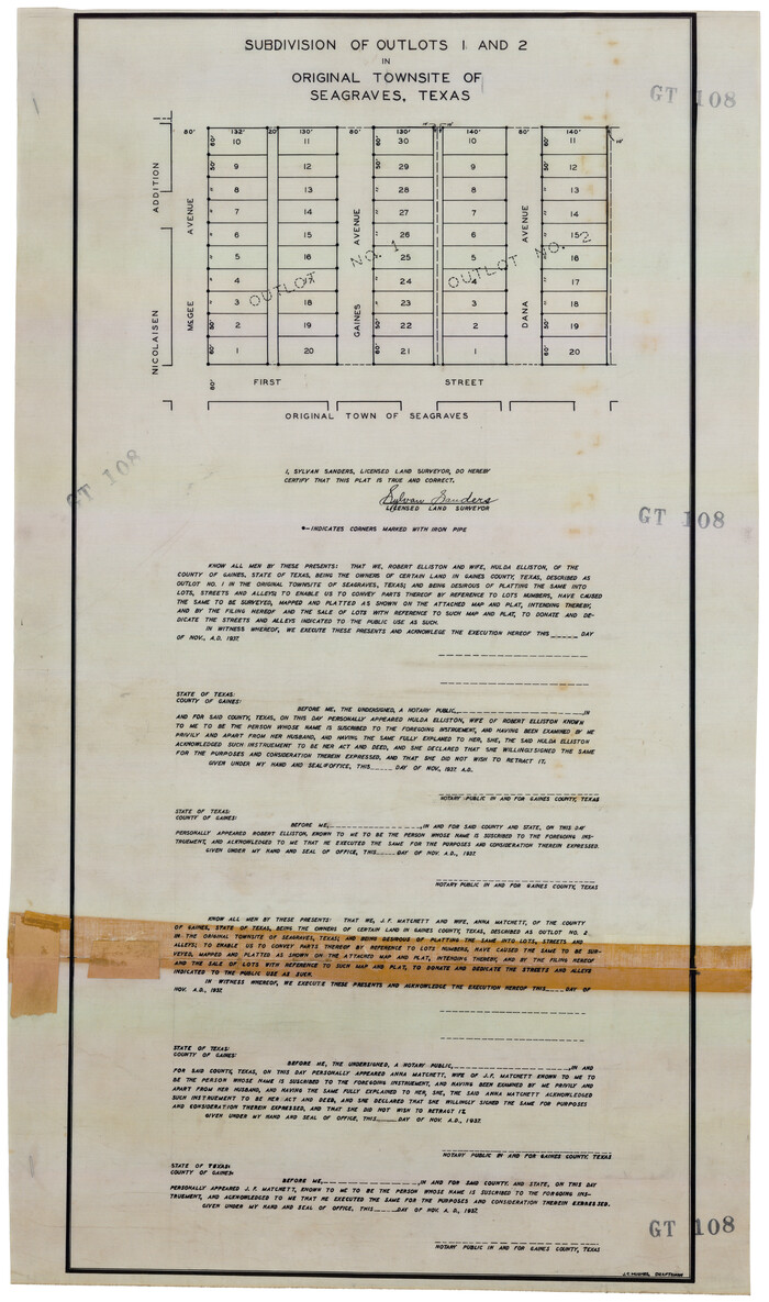

Print $20.00
- Digital $50.00
Subdivision of Outlots 1 and 2 in Original Townsite of Seagraves, Texas
1955
Size 17.3 x 29.1 inches
Map/Doc 92688
[Pencil sketch of Wm. Rivers survey]
![91969, [Pencil sketch of Wm. Rivers survey], Twichell Survey Records](https://historictexasmaps.com/wmedia_w700/maps/91969-1.tif.jpg)
![91969, [Pencil sketch of Wm. Rivers survey], Twichell Survey Records](https://historictexasmaps.com/wmedia_w700/maps/91969-1.tif.jpg)
Print $3.00
- Digital $50.00
[Pencil sketch of Wm. Rivers survey]
Size 9.9 x 16.1 inches
Map/Doc 91969
You may also like
Bird's Eye View of San Marcos, Hays County, Texas
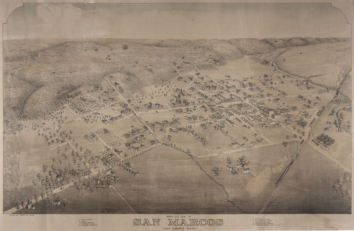

Print $20.00
Bird's Eye View of San Marcos, Hays County, Texas
1881
Size 18.5 x 28.3 inches
Map/Doc 89205
Ector County Sketch File 8
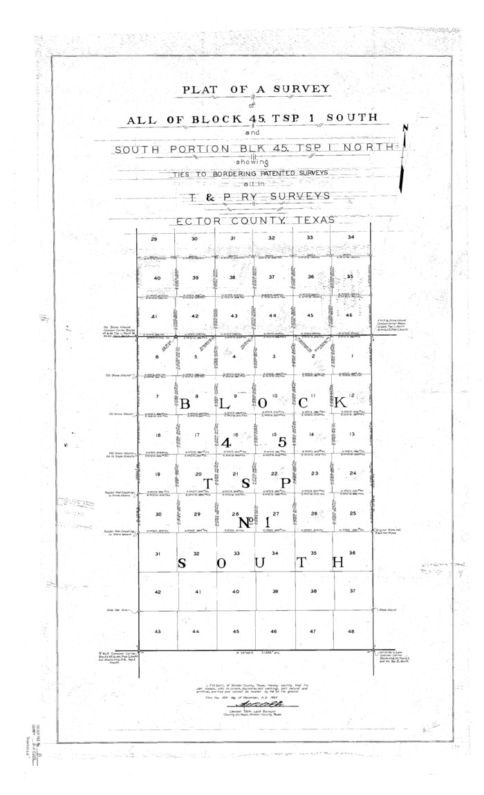

Print $20.00
- Digital $50.00
Ector County Sketch File 8
1939
Size 40.9 x 24.9 inches
Map/Doc 10441
Montague County Working Sketch 40


Print $20.00
- Digital $50.00
Montague County Working Sketch 40
1995
Size 20.6 x 17.5 inches
Map/Doc 71106
Tom Green County Working Sketch 15
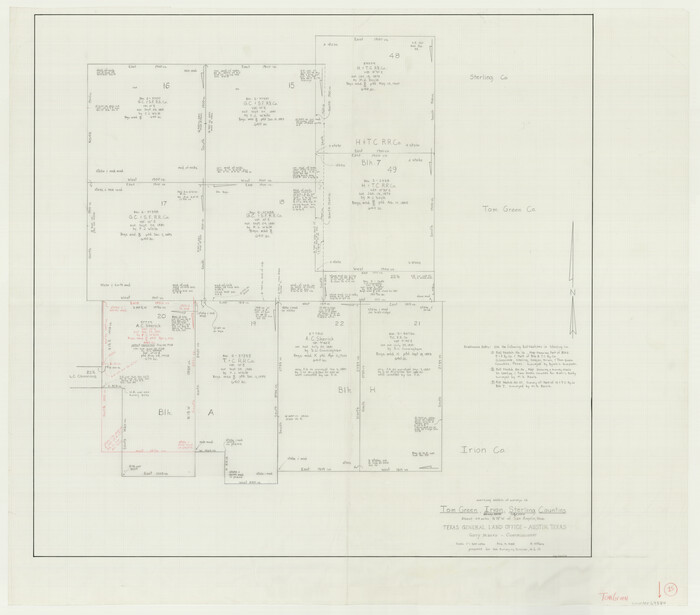

Print $20.00
- Digital $50.00
Tom Green County Working Sketch 15
1988
Size 32.9 x 37.5 inches
Map/Doc 69384
Map of the Western Part of Bexar District


Print $40.00
- Digital $50.00
Map of the Western Part of Bexar District
1849
Size 64.0 x 54.3 inches
Map/Doc 16944
Leila Y. Post Montgomery & Marjorie Post Hutton's Subdivision of Hall County School Leagues 158-159-N 1/2 157, Cochran County, Texas
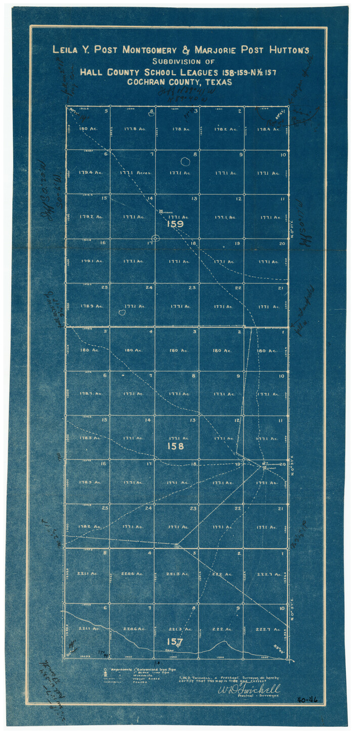

Print $20.00
- Digital $50.00
Leila Y. Post Montgomery & Marjorie Post Hutton's Subdivision of Hall County School Leagues 158-159-N 1/2 157, Cochran County, Texas
Size 13.2 x 27.6 inches
Map/Doc 90297
Flight Mission No. DAG-21K, Frame 99, Matagorda County
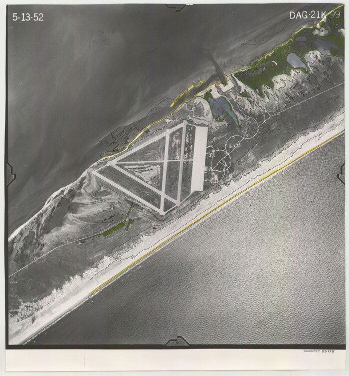

Print $20.00
- Digital $50.00
Flight Mission No. DAG-21K, Frame 99, Matagorda County
1952
Size 17.5 x 16.3 inches
Map/Doc 86428
Castro County Rolled Sketch 11
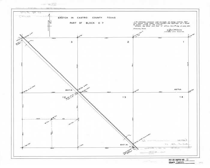

Print $20.00
- Digital $50.00
Castro County Rolled Sketch 11
1940
Size 20.2 x 25.3 inches
Map/Doc 5420
Rullmann's map of the city of San Antonio


Print $20.00
Rullmann's map of the city of San Antonio
1890
Size 34.6 x 31.0 inches
Map/Doc 93555
Presidio County Rolled Sketch 36
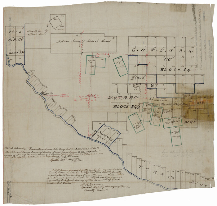

Print $20.00
- Digital $50.00
Presidio County Rolled Sketch 36
Size 20.7 x 21.8 inches
Map/Doc 7334
General Highway Map. Detail of Cities and Towns in Cameron County, Texas [San Benito, Harlingen, Brownsville and vicinity]
![79399, General Highway Map. Detail of Cities and Towns in Cameron County, Texas [San Benito, Harlingen, Brownsville and vicinity], Texas State Library and Archives](https://historictexasmaps.com/wmedia_w700/maps/79399.tif.jpg)
![79399, General Highway Map. Detail of Cities and Towns in Cameron County, Texas [San Benito, Harlingen, Brownsville and vicinity], Texas State Library and Archives](https://historictexasmaps.com/wmedia_w700/maps/79399.tif.jpg)
Print $20.00
General Highway Map. Detail of Cities and Towns in Cameron County, Texas [San Benito, Harlingen, Brownsville and vicinity]
1961
Size 18.0 x 24.7 inches
Map/Doc 79399
The Mexican Municipalities. On the Eve of Texas Independence, 1836
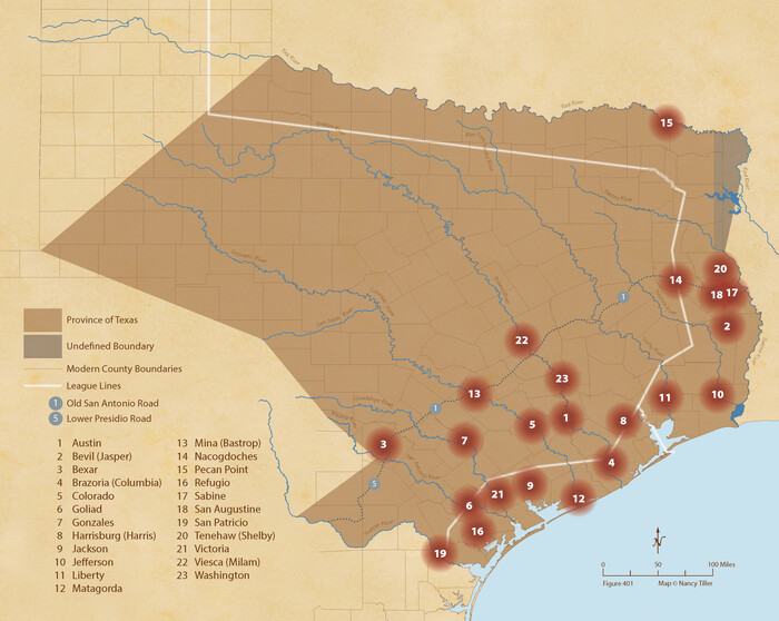

Print $20.00
The Mexican Municipalities. On the Eve of Texas Independence, 1836
2020
Size 17.2 x 21.6 inches
Map/Doc 96013
![91879, [Norwood Homestead], Twichell Survey Records](https://historictexasmaps.com/wmedia_w1800h1800/maps/91879-1.tif.jpg)