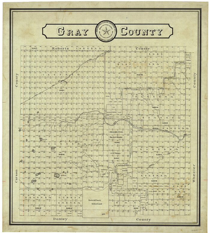
[State of Texas]
M-9
-
Map/Doc
92061
-
Collection
Twichell Survey Records
-
People and Organizations
The Steck Co. (Publisher)
-
Height x Width
13.7 x 13.7 inches
34.8 x 34.8 cm
Part of: Twichell Survey Records
General Highway Map, Concho County, Texas
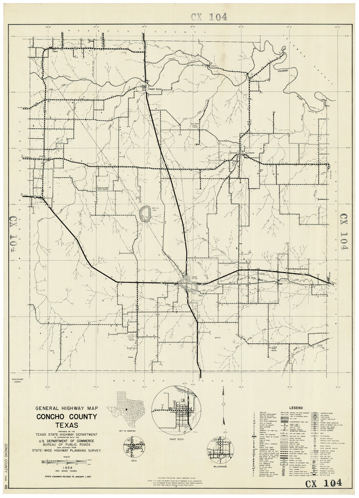

Print $20.00
- Digital $50.00
General Highway Map, Concho County, Texas
1954
Size 18.7 x 25.8 inches
Map/Doc 92551
[T. & N. O. Blks. 9T and 10T and surrounding areas]
![90413, [T. & N. O. Blks. 9T and 10T and surrounding areas], Twichell Survey Records](https://historictexasmaps.com/wmedia_w700/maps/90413-1.tif.jpg)
![90413, [T. & N. O. Blks. 9T and 10T and surrounding areas], Twichell Survey Records](https://historictexasmaps.com/wmedia_w700/maps/90413-1.tif.jpg)
Print $20.00
- Digital $50.00
[T. & N. O. Blks. 9T and 10T and surrounding areas]
Size 14.6 x 21.0 inches
Map/Doc 90413
[PSL Block B-19]
![89811, [PSL Block B-19], Twichell Survey Records](https://historictexasmaps.com/wmedia_w700/maps/89811-1.tif.jpg)
![89811, [PSL Block B-19], Twichell Survey Records](https://historictexasmaps.com/wmedia_w700/maps/89811-1.tif.jpg)
Print $40.00
- Digital $50.00
[PSL Block B-19]
Size 43.7 x 56.6 inches
Map/Doc 89811
[State Capitol Leagues and County School Leagues]
![92475, [State Capitol Leagues and County School Leagues], Twichell Survey Records](https://historictexasmaps.com/wmedia_w700/maps/92475-1.tif.jpg)
![92475, [State Capitol Leagues and County School Leagues], Twichell Survey Records](https://historictexasmaps.com/wmedia_w700/maps/92475-1.tif.jpg)
Print $20.00
- Digital $50.00
[State Capitol Leagues and County School Leagues]
Size 19.4 x 11.8 inches
Map/Doc 92475
[B. S. & F. Block 9]
![91814, [B. S. & F. Block 9], Twichell Survey Records](https://historictexasmaps.com/wmedia_w700/maps/91814-1.tif.jpg)
![91814, [B. S. & F. Block 9], Twichell Survey Records](https://historictexasmaps.com/wmedia_w700/maps/91814-1.tif.jpg)
Print $20.00
- Digital $50.00
[B. S. & F. Block 9]
Size 25.1 x 35.7 inches
Map/Doc 91814
[Central Part of San Miguel County]
![92038, [Central Part of San Miguel County], Twichell Survey Records](https://historictexasmaps.com/wmedia_w700/maps/92038-1.tif.jpg)
![92038, [Central Part of San Miguel County], Twichell Survey Records](https://historictexasmaps.com/wmedia_w700/maps/92038-1.tif.jpg)
Print $20.00
- Digital $50.00
[Central Part of San Miguel County]
Size 19.5 x 16.8 inches
Map/Doc 92038
Rueben M. Ellerd 17,870 acres of land in Bailey and Cochran Cos., Texas
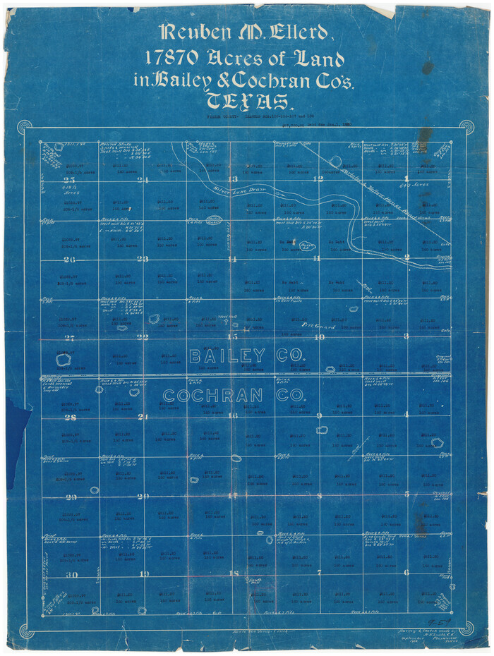

Print $20.00
- Digital $50.00
Rueben M. Ellerd 17,870 acres of land in Bailey and Cochran Cos., Texas
1906
Size 22.4 x 30.0 inches
Map/Doc 90242
Carter Park Addition
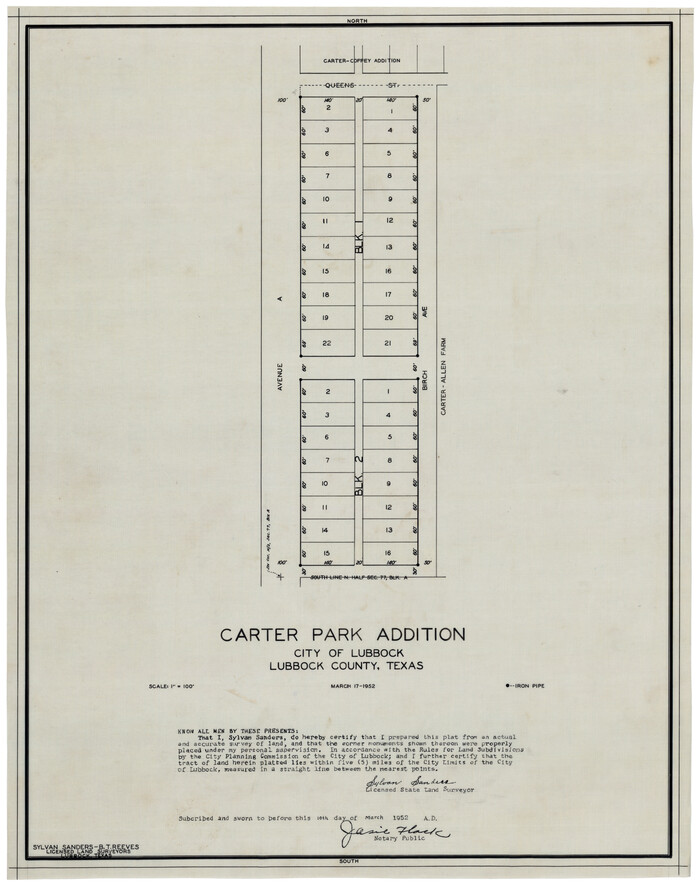

Print $20.00
- Digital $50.00
Carter Park Addition
1952
Size 18.3 x 23.2 inches
Map/Doc 92769
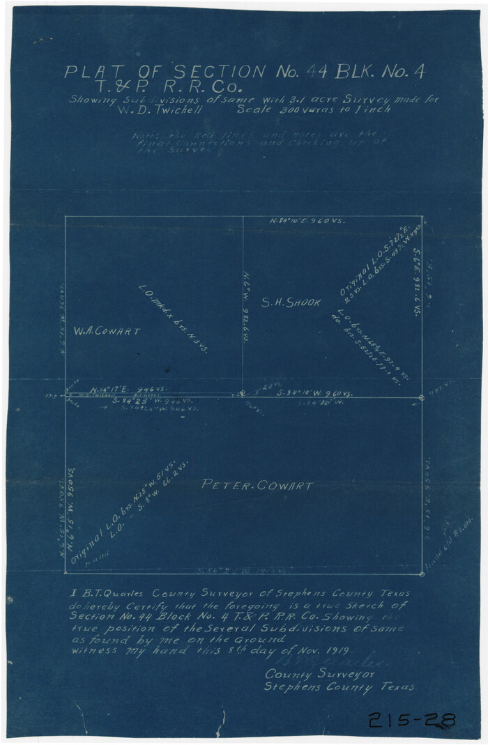
Plat of Section No. 44, Blk. No. 4, T. & P. RR. Co. showing subdivisions of same with 3.1 acre survey made for W. D. Twichell

Print $2.00
- Digital $50.00
Plat of Section No. 44, Blk. No. 4, T. & P. RR. Co. showing subdivisions of same with 3.1 acre survey made for W. D. Twichell
1919
Size 8.9 x 13.3 inches
Map/Doc 91908
[Sketch of area just south of Levi Pruitt survey]
![91854, [Sketch of area just south of Levi Pruitt survey], Twichell Survey Records](https://historictexasmaps.com/wmedia_w700/maps/91854-1.tif.jpg)
![91854, [Sketch of area just south of Levi Pruitt survey], Twichell Survey Records](https://historictexasmaps.com/wmedia_w700/maps/91854-1.tif.jpg)
Print $20.00
- Digital $50.00
[Sketch of area just south of Levi Pruitt survey]
Size 24.9 x 18.6 inches
Map/Doc 91854
[Blocks S1, O6, O, A1, A2, A3, A4, JK, JK2, JK4, and JD]
![90657, [Blocks S1, O6, O, A1, A2, A3, A4, JK, JK2, JK4, and JD], Twichell Survey Records](https://historictexasmaps.com/wmedia_w700/maps/90657-1.tif.jpg)
![90657, [Blocks S1, O6, O, A1, A2, A3, A4, JK, JK2, JK4, and JD], Twichell Survey Records](https://historictexasmaps.com/wmedia_w700/maps/90657-1.tif.jpg)
Print $20.00
- Digital $50.00
[Blocks S1, O6, O, A1, A2, A3, A4, JK, JK2, JK4, and JD]
Size 21.3 x 22.4 inches
Map/Doc 90657
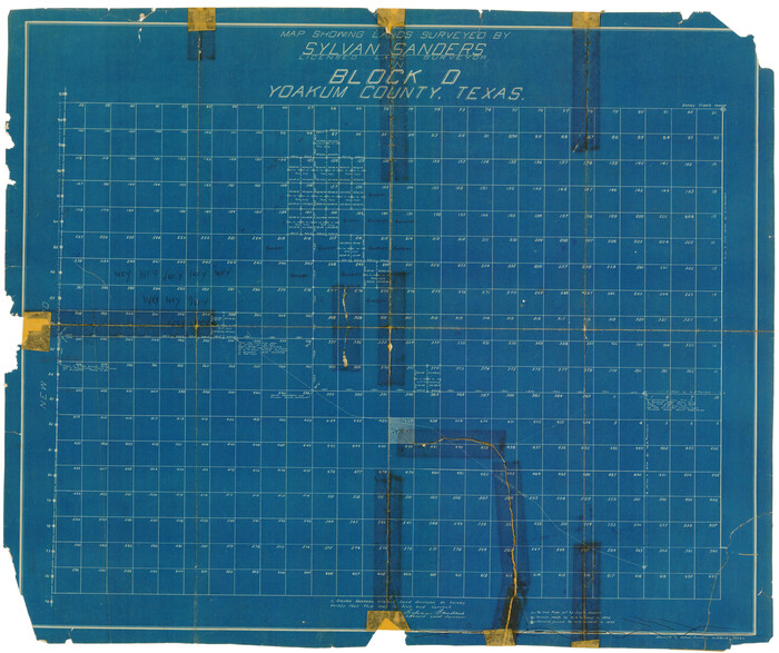
Map Showing Lands Surveyed by Sylvan Sanders, Block D

Print $20.00
- Digital $50.00
Map Showing Lands Surveyed by Sylvan Sanders, Block D
Size 28.9 x 24.2 inches
Map/Doc 92441
You may also like
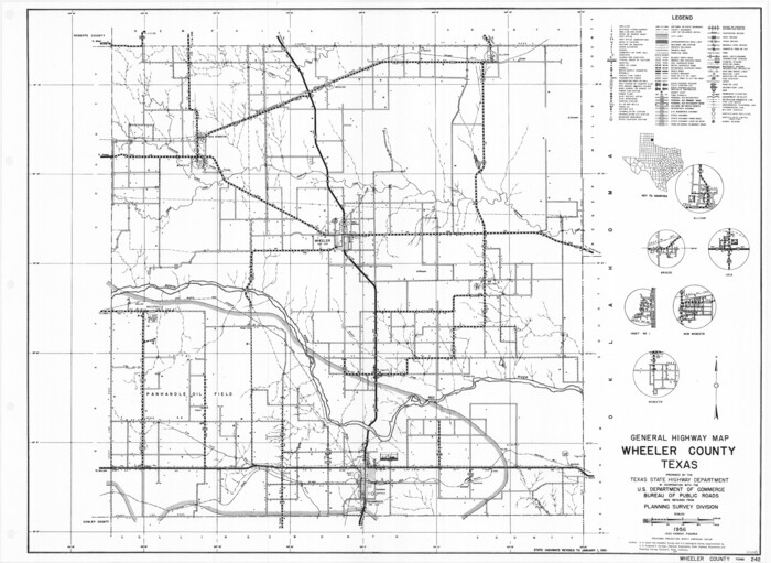
General Highway Map, Wheeler County, Texas

Print $20.00
General Highway Map, Wheeler County, Texas
1961
Size 18.1 x 24.9 inches
Map/Doc 79708
Montgomery County Sketch File 18


Print $20.00
- Digital $50.00
Montgomery County Sketch File 18
1899
Size 22.1 x 19.6 inches
Map/Doc 42122
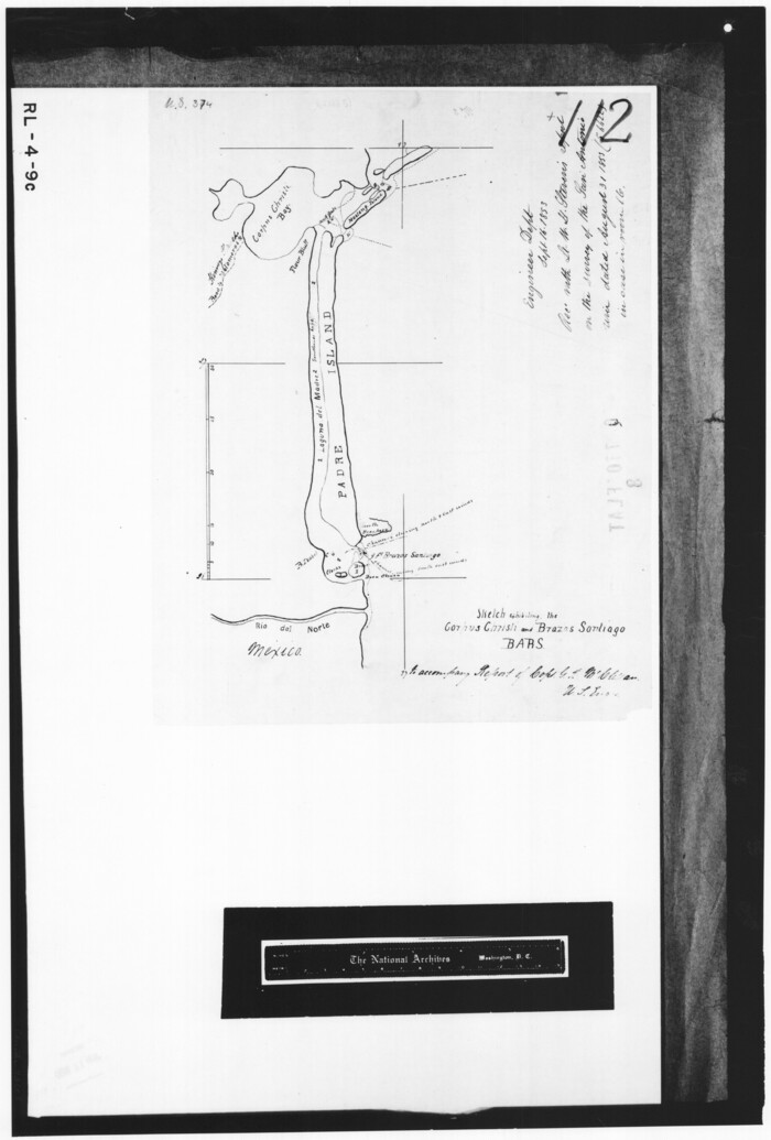
Sketch exhibiting the Corpus Christi and Brazos Santiago bars

Print $20.00
- Digital $50.00
Sketch exhibiting the Corpus Christi and Brazos Santiago bars
1853
Size 23.6 x 15.9 inches
Map/Doc 73008
Wise County Sketch File 26b
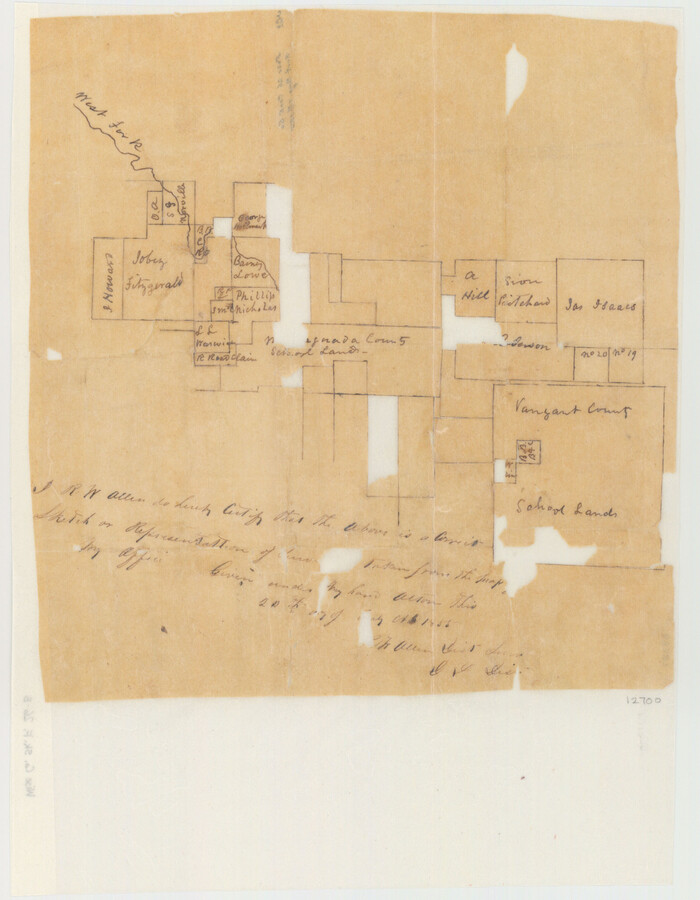

Print $20.00
- Digital $50.00
Wise County Sketch File 26b
1855
Size 13.3 x 19.9 inches
Map/Doc 12700
The Santa Fe Route and connections
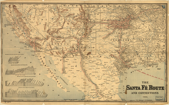

Print $20.00
The Santa Fe Route and connections
1888
Size 15.4 x 24.8 inches
Map/Doc 96972
Presidio County Rolled Sketch 94
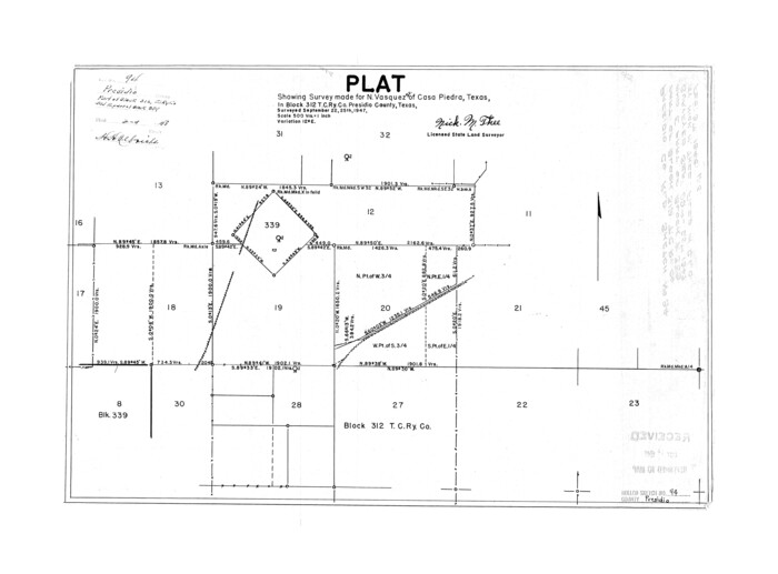

Print $20.00
- Digital $50.00
Presidio County Rolled Sketch 94
Size 18.1 x 24.5 inches
Map/Doc 7380
Flight Mission No. BRA-6M, Frame 74, Jefferson County
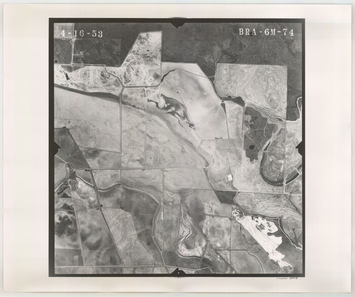

Print $20.00
- Digital $50.00
Flight Mission No. BRA-6M, Frame 74, Jefferson County
1953
Size 18.6 x 22.3 inches
Map/Doc 85418
Williamson County Working Sketch 16


Print $20.00
- Digital $50.00
Williamson County Working Sketch 16
1984
Size 31.9 x 23.7 inches
Map/Doc 72576
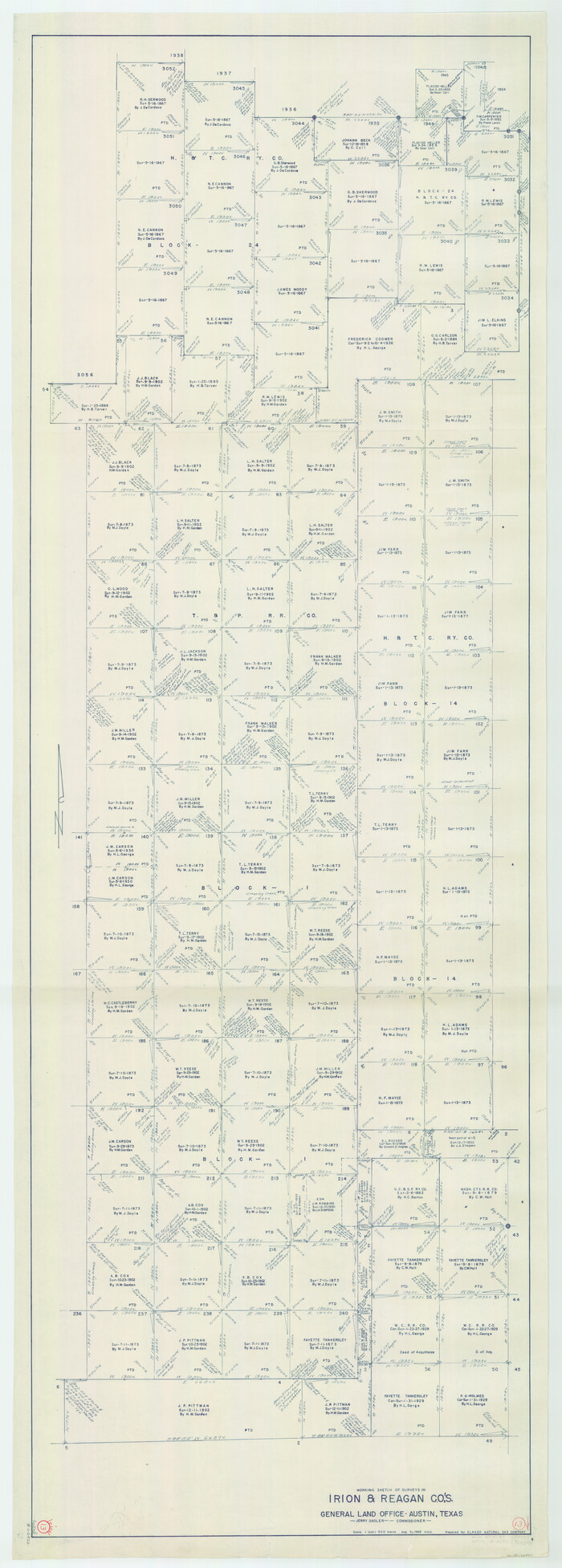
Irion County Working Sketch 13

Print $40.00
- Digital $50.00
Irion County Working Sketch 13
1968
Size 88.1 x 31.6 inches
Map/Doc 66422
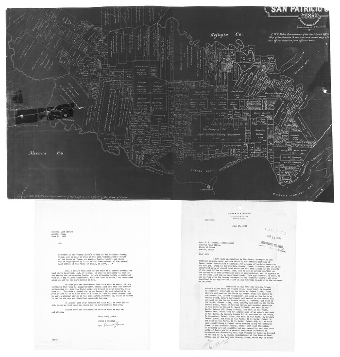
San Patricio County Rolled Sketch 21

Print $20.00
- Digital $50.00
San Patricio County Rolled Sketch 21
1935
Size 25.9 x 24.7 inches
Map/Doc 7580
Webb County Sketch File A


Print $20.00
- Digital $50.00
Webb County Sketch File A
1891
Size 35.3 x 17.1 inches
Map/Doc 12603
![92061, [State of Texas], Twichell Survey Records](https://historictexasmaps.com/wmedia_w1800h1800/maps/92061-1.tif.jpg)
