[East Line and Red River Railroad Company, Block Z and vicinity]
117-61
-
Map/Doc
91256
-
Collection
Twichell Survey Records
-
Object Dates
10/11/1878 (Creation Date)
-
People and Organizations
W. Callaway (Surveyor/Engineer)
-
Counties
Hutchinson
-
Height x Width
27.8 x 22.1 inches
70.6 x 56.1 cm
Part of: Twichell Survey Records
[Part of Block XR along New Mexico State Line]
![90665, [Part of Block XR along New Mexico State Line], Twichell Survey Records](https://historictexasmaps.com/wmedia_w700/maps/90665-1.tif.jpg)
![90665, [Part of Block XR along New Mexico State Line], Twichell Survey Records](https://historictexasmaps.com/wmedia_w700/maps/90665-1.tif.jpg)
Print $20.00
- Digital $50.00
[Part of Block XR along New Mexico State Line]
Size 22.2 x 5.5 inches
Map/Doc 90665
[Blocks M18, M23, I, Z, and Block 47, Sections 16-28]
![91244, [Blocks M18, M23, I, Z, and Block 47, Sections 16-28], Twichell Survey Records](https://historictexasmaps.com/wmedia_w700/maps/91244-1.tif.jpg)
![91244, [Blocks M18, M23, I, Z, and Block 47, Sections 16-28], Twichell Survey Records](https://historictexasmaps.com/wmedia_w700/maps/91244-1.tif.jpg)
Print $20.00
- Digital $50.00
[Blocks M18, M23, I, Z, and Block 47, Sections 16-28]
Size 19.5 x 23.6 inches
Map/Doc 91244
[Leagues 27, 28, 69, 70, 71, 72, and 73]
![91096, [Leagues 27, 28, 69, 70, 71, 72, and 73], Twichell Survey Records](https://historictexasmaps.com/wmedia_w700/maps/91096-1.tif.jpg)
![91096, [Leagues 27, 28, 69, 70, 71, 72, and 73], Twichell Survey Records](https://historictexasmaps.com/wmedia_w700/maps/91096-1.tif.jpg)
Print $20.00
- Digital $50.00
[Leagues 27, 28, 69, 70, 71, 72, and 73]
Size 24.0 x 15.7 inches
Map/Doc 91096
Map of Terry County
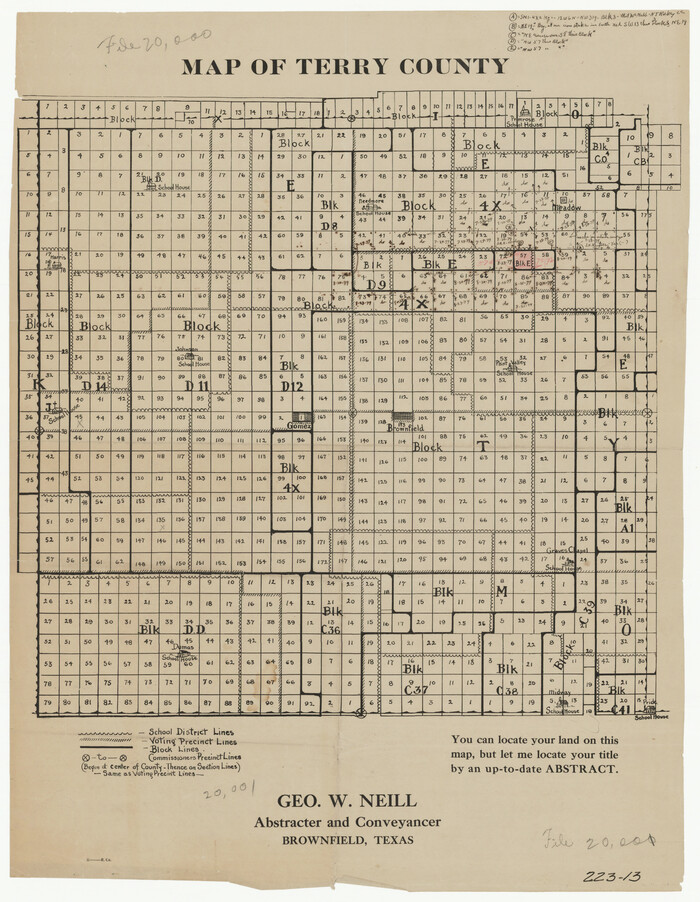

Print $20.00
- Digital $50.00
Map of Terry County
1917
Size 17.7 x 22.6 inches
Map/Doc 91874
Shamrock, Amended Plat on Section 44, Block 17, Wheeler County, Texas


Print $20.00
- Digital $50.00
Shamrock, Amended Plat on Section 44, Block 17, Wheeler County, Texas
Size 30.0 x 35.5 inches
Map/Doc 92144
[Area around J. E. Arnold survey]
![91885, [Area around J. E. Arnold survey], Twichell Survey Records](https://historictexasmaps.com/wmedia_w700/maps/91885-1.tif.jpg)
![91885, [Area around J. E. Arnold survey], Twichell Survey Records](https://historictexasmaps.com/wmedia_w700/maps/91885-1.tif.jpg)
Print $2.00
- Digital $50.00
[Area around J. E. Arnold survey]
Size 15.3 x 8.2 inches
Map/Doc 91885
Cliffside Situated on Section 21, Block 9, Potter County, Texas
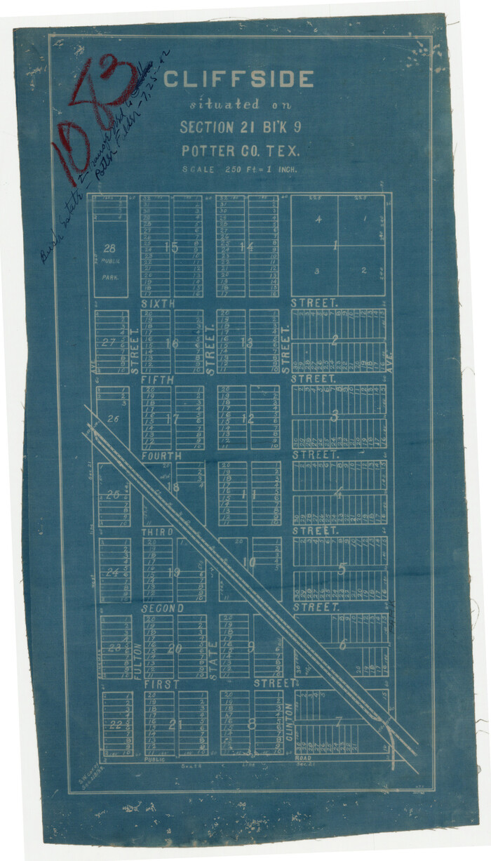

Print $2.00
- Digital $50.00
Cliffside Situated on Section 21, Block 9, Potter County, Texas
Size 5.9 x 10.6 inches
Map/Doc 92099
[Sections 55-58, Blk. GG and surrounding surveys]
![90319, [Sections 55-58, Blk. GG and surrounding surveys], Twichell Survey Records](https://historictexasmaps.com/wmedia_w700/maps/90319-1.tif.jpg)
![90319, [Sections 55-58, Blk. GG and surrounding surveys], Twichell Survey Records](https://historictexasmaps.com/wmedia_w700/maps/90319-1.tif.jpg)
Print $20.00
- Digital $50.00
[Sections 55-58, Blk. GG and surrounding surveys]
Size 41.1 x 29.7 inches
Map/Doc 90319
[Sketch along Garza-Kent County Line]
![89920, [Sketch along Garza-Kent County Line], Twichell Survey Records](https://historictexasmaps.com/wmedia_w700/maps/89920-1.tif.jpg)
![89920, [Sketch along Garza-Kent County Line], Twichell Survey Records](https://historictexasmaps.com/wmedia_w700/maps/89920-1.tif.jpg)
Print $20.00
- Digital $50.00
[Sketch along Garza-Kent County Line]
Size 41.5 x 43.7 inches
Map/Doc 89920
Brazos River Conservation and Reclamation District Official Boundary Line Survey, Parmer County


Print $20.00
- Digital $50.00
Brazos River Conservation and Reclamation District Official Boundary Line Survey, Parmer County
Size 36.6 x 24.8 inches
Map/Doc 91638
You may also like
Falls County Sketch File 27
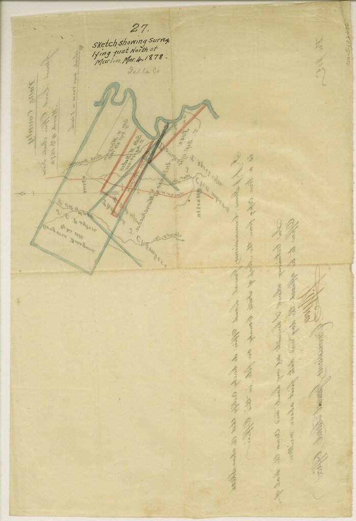

Print $6.00
- Digital $50.00
Falls County Sketch File 27
Size 16.1 x 11.0 inches
Map/Doc 22436
Flight Mission No. 29300074, Harris County


Print $20.00
- Digital $50.00
Flight Mission No. 29300074, Harris County
1985
Size 10.4 x 10.4 inches
Map/Doc 85286
Stonewall County Sketch File 10
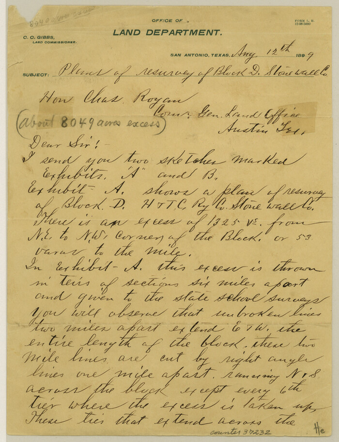

Print $10.00
- Digital $50.00
Stonewall County Sketch File 10
1899
Size 11.2 x 8.6 inches
Map/Doc 37232
Right of Way and Track Map, Houston & Texas Central R.R. operated by the T. and N. O. R.R., Fort Worth Branch
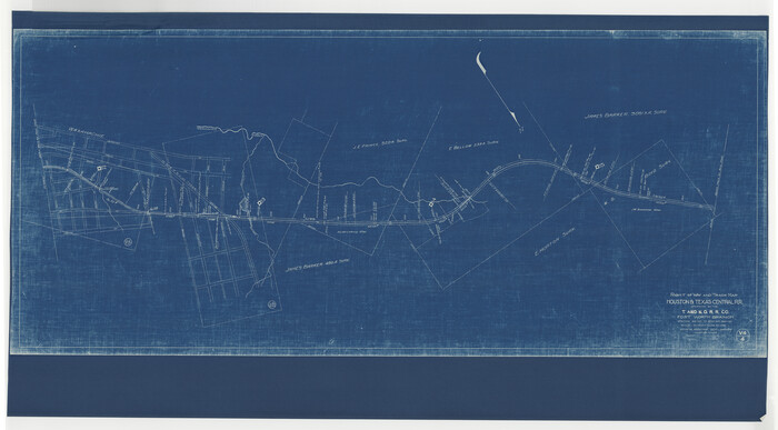

Print $40.00
- Digital $50.00
Right of Way and Track Map, Houston & Texas Central R.R. operated by the T. and N. O. R.R., Fort Worth Branch
1918
Size 31.9 x 57.7 inches
Map/Doc 64779
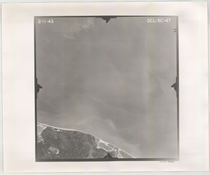
Flight Mission No. DCL-5C, Frame 47, Kenedy County

Print $20.00
- Digital $50.00
Flight Mission No. DCL-5C, Frame 47, Kenedy County
1943
Size 18.6 x 22.3 inches
Map/Doc 85843
Flight Mission No. DAG-23K, Frame 165, Matagorda County


Print $20.00
- Digital $50.00
Flight Mission No. DAG-23K, Frame 165, Matagorda County
1953
Size 17.0 x 19.0 inches
Map/Doc 86503
Terrell County Working Sketch 58


Print $40.00
- Digital $50.00
Terrell County Working Sketch 58
1960
Size 36.3 x 48.9 inches
Map/Doc 69579
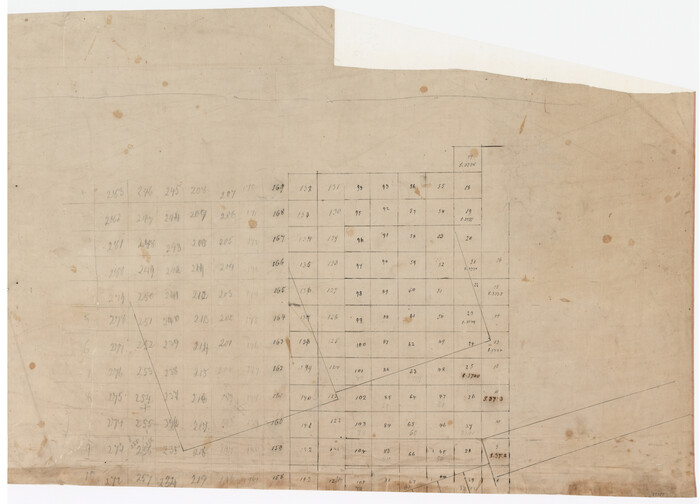
Stonewall County

Print $20.00
- Digital $50.00
Stonewall County
1888
Size 17.8 x 24.6 inches
Map/Doc 89055
[I. & G. N. Blocks 1 and 2]
![90333, [I. & G. N. Blocks 1 and 2], Twichell Survey Records](https://historictexasmaps.com/wmedia_w700/maps/90333-1.tif.jpg)
![90333, [I. & G. N. Blocks 1 and 2], Twichell Survey Records](https://historictexasmaps.com/wmedia_w700/maps/90333-1.tif.jpg)
Print $20.00
- Digital $50.00
[I. & G. N. Blocks 1 and 2]
Size 21.2 x 37.5 inches
Map/Doc 90333
Bailey County Working Sketch 3


Print $20.00
- Digital $50.00
Bailey County Working Sketch 3
1922
Size 17.3 x 28.0 inches
Map/Doc 67590
![91256, [East Line and Red River Railroad Company, Block Z and vicinity], Twichell Survey Records](https://historictexasmaps.com/wmedia_w1800h1800/maps/91256-1.tif.jpg)

