General Highway Map. Detail of Cities and Towns in Cameron County, Texas [San Benito, Harlingen, Brownsville and vicinity]
-
Map/Doc
79399
-
Collection
Texas State Library and Archives
-
Object Dates
1961 (Creation Date)
-
People and Organizations
Texas State Highway Department (Publisher)
-
Counties
Cameron
-
Subjects
City County
-
Height x Width
18.0 x 24.7 inches
45.7 x 62.7 cm
-
Comments
Prints available courtesy of the Texas State Library and Archives.
More info can be found here: TSLAC Map 05076
Part of: Texas State Library and Archives
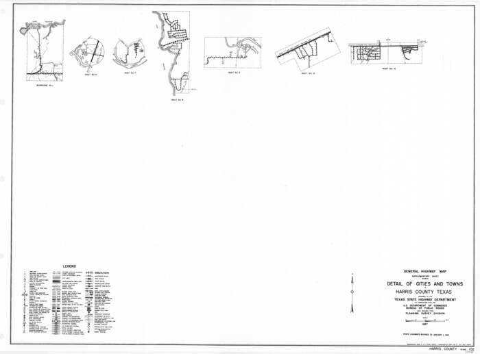
General Highway Map. Detail of Cities and Towns in Harris County, Texas

Print $20.00
General Highway Map. Detail of Cities and Towns in Harris County, Texas
1961
Size 18.2 x 24.6 inches
Map/Doc 79503
General Highway Map, Palo Pinto County, Texas


Print $20.00
General Highway Map, Palo Pinto County, Texas
1940
Size 18.2 x 24.6 inches
Map/Doc 79213
General Highway Map. Detail of Cities and Towns in Grayson County, Texas [Denison and Sherman]
![79486, General Highway Map. Detail of Cities and Towns in Grayson County, Texas [Denison and Sherman], Texas State Library and Archives](https://historictexasmaps.com/wmedia_w700/maps/79486.tif.jpg)
![79486, General Highway Map. Detail of Cities and Towns in Grayson County, Texas [Denison and Sherman], Texas State Library and Archives](https://historictexasmaps.com/wmedia_w700/maps/79486.tif.jpg)
Print $20.00
General Highway Map. Detail of Cities and Towns in Grayson County, Texas [Denison and Sherman]
1961
Size 18.1 x 24.6 inches
Map/Doc 79486
General Highway Map, Bell County, Texas


Print $20.00
General Highway Map, Bell County, Texas
1961
Size 18.3 x 25.1 inches
Map/Doc 79366
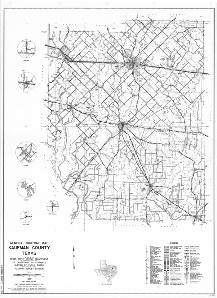
General Highway Map, Kaufman County, Texas

Print $20.00
General Highway Map, Kaufman County, Texas
1961
Size 24.9 x 18.1 inches
Map/Doc 79548
General Highway Map, Presidio County, Texas


Print $20.00
General Highway Map, Presidio County, Texas
1940
Size 24.6 x 18.3 inches
Map/Doc 79222
General Highway Map, Wilbarger County, Texas
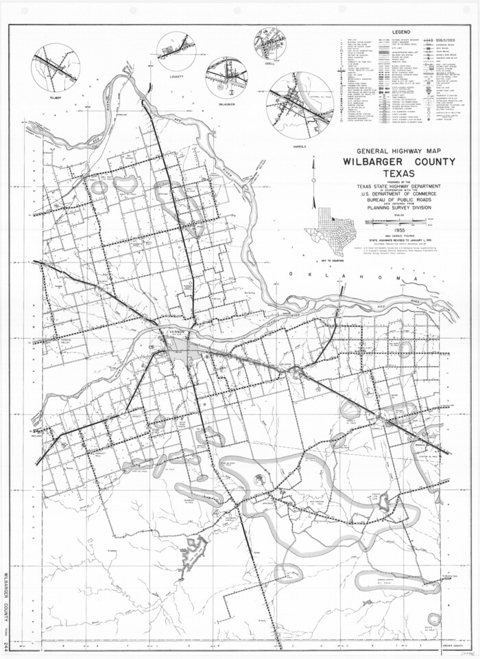

Print $20.00
General Highway Map, Wilbarger County, Texas
1961
Size 24.9 x 18.2 inches
Map/Doc 79710
General Highway Map, Madison County, Texas


Print $20.00
General Highway Map, Madison County, Texas
1961
Size 18.1 x 24.6 inches
Map/Doc 79581
General Highway Map. Detail of Cities and Towns in Bell County, Texas [Belton and Rogers and vicinity]
![79369, General Highway Map. Detail of Cities and Towns in Bell County, Texas [Belton and Rogers and vicinity], Texas State Library and Archives](https://historictexasmaps.com/wmedia_w700/maps/79369.tif.jpg)
![79369, General Highway Map. Detail of Cities and Towns in Bell County, Texas [Belton and Rogers and vicinity], Texas State Library and Archives](https://historictexasmaps.com/wmedia_w700/maps/79369.tif.jpg)
Print $20.00
General Highway Map. Detail of Cities and Towns in Bell County, Texas [Belton and Rogers and vicinity]
1961
Size 25.0 x 18.3 inches
Map/Doc 79369
General Highway Map. Detail of Cities and Towns in Hardin County, Texas [Silsbee and vicinity]
![79500, General Highway Map. Detail of Cities and Towns in Hardin County, Texas [Silsbee and vicinity], Texas State Library and Archives](https://historictexasmaps.com/wmedia_w700/maps/79500.tif.jpg)
![79500, General Highway Map. Detail of Cities and Towns in Hardin County, Texas [Silsbee and vicinity], Texas State Library and Archives](https://historictexasmaps.com/wmedia_w700/maps/79500.tif.jpg)
Print $20.00
General Highway Map. Detail of Cities and Towns in Hardin County, Texas [Silsbee and vicinity]
1961
Size 18.1 x 24.7 inches
Map/Doc 79500
You may also like
Edwards County Sketch File 35
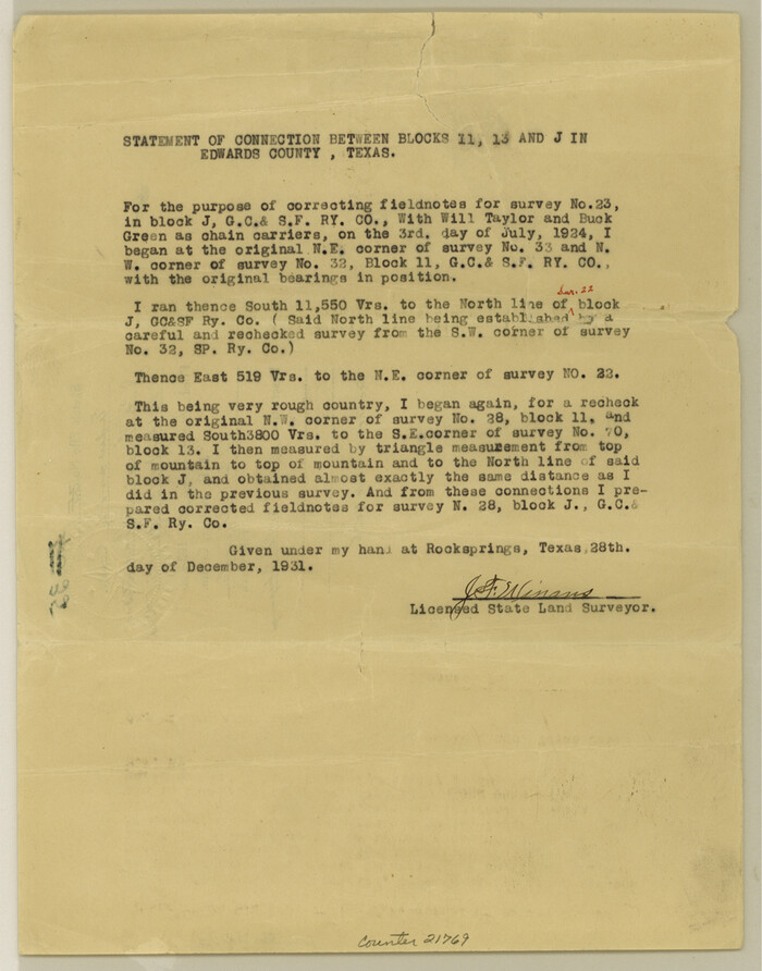

Print $4.00
- Digital $50.00
Edwards County Sketch File 35
Size 11.3 x 8.9 inches
Map/Doc 21769
[Blocks 34 and 35, Township 4N]
![92030, [Blocks 34 and 35, Township 4N], Twichell Survey Records](https://historictexasmaps.com/wmedia_w700/maps/92030-1.tif.jpg)
![92030, [Blocks 34 and 35, Township 4N], Twichell Survey Records](https://historictexasmaps.com/wmedia_w700/maps/92030-1.tif.jpg)
Print $20.00
- Digital $50.00
[Blocks 34 and 35, Township 4N]
Size 24.6 x 23.6 inches
Map/Doc 92030
Val Verde County Rolled Sketch 3
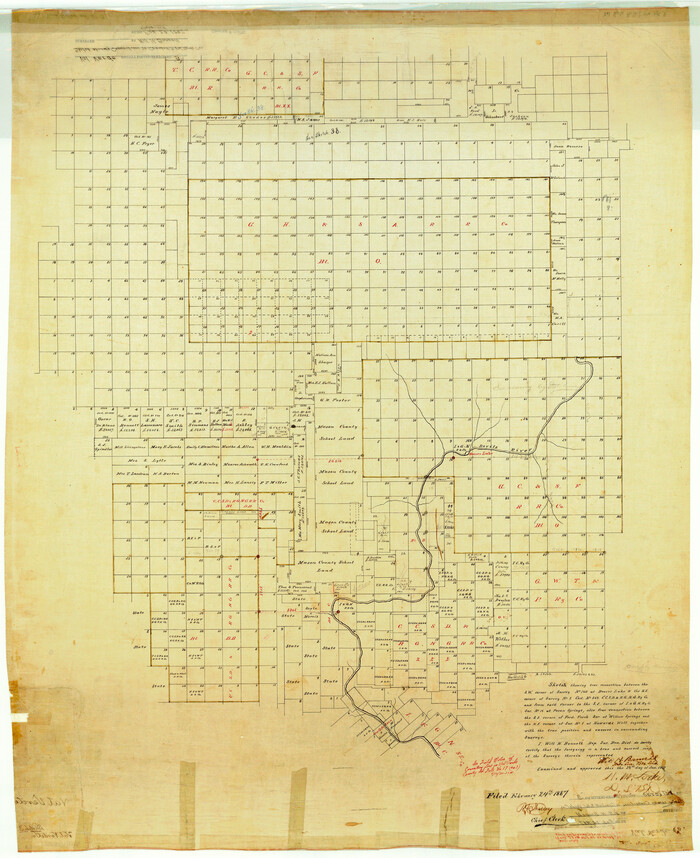

Print $20.00
- Digital $50.00
Val Verde County Rolled Sketch 3
1887
Size 44.8 x 36.5 inches
Map/Doc 10070
Hardin County Working Sketch 6
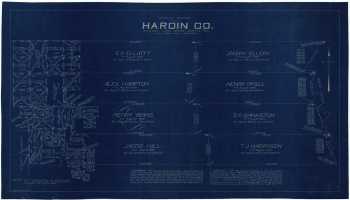

Print $20.00
- Digital $50.00
Hardin County Working Sketch 6
1922
Size 16.2 x 28.4 inches
Map/Doc 63404
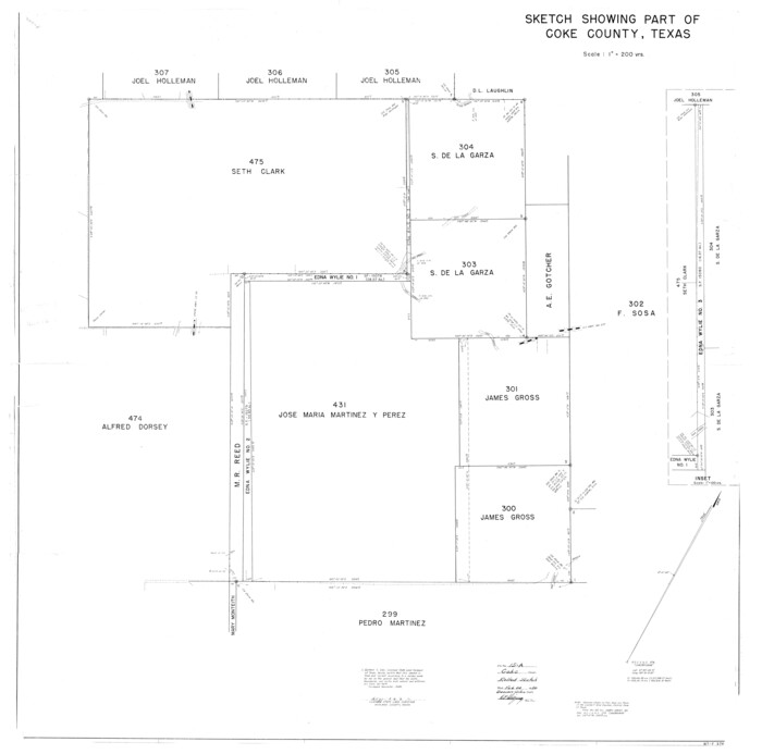
Coke County Rolled Sketch 15A

Print $20.00
- Digital $50.00
Coke County Rolled Sketch 15A
1949
Size 43.8 x 44.3 inches
Map/Doc 8629
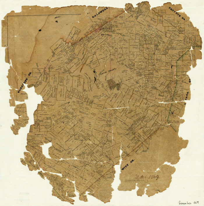
Gonzales County

Print $20.00
- Digital $50.00
Gonzales County
1869
Size 22.2 x 22.1 inches
Map/Doc 3592
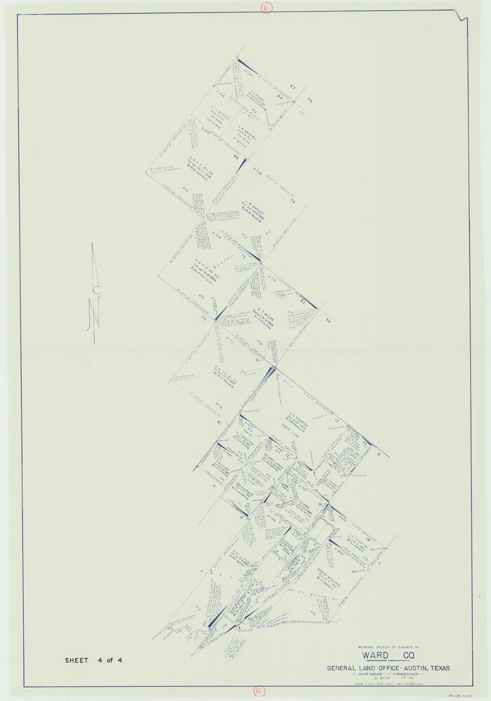
Ward County Working Sketch 41

Print $20.00
- Digital $50.00
Ward County Working Sketch 41
1969
Size 45.3 x 31.7 inches
Map/Doc 72347
Hidalgo County Working Sketch Graphic Index


Print $20.00
- Digital $50.00
Hidalgo County Working Sketch Graphic Index
1977
Size 45.7 x 34.7 inches
Map/Doc 76577
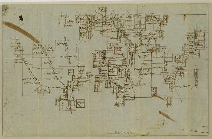
Hunt County Sketch File 26

Print $4.00
- Digital $50.00
Hunt County Sketch File 26
1851
Size 8.4 x 12.9 inches
Map/Doc 27124
Henderson County Working Sketch 29


Print $20.00
- Digital $50.00
Henderson County Working Sketch 29
1961
Size 39.3 x 41.9 inches
Map/Doc 66162
Red River County Working Sketch 2
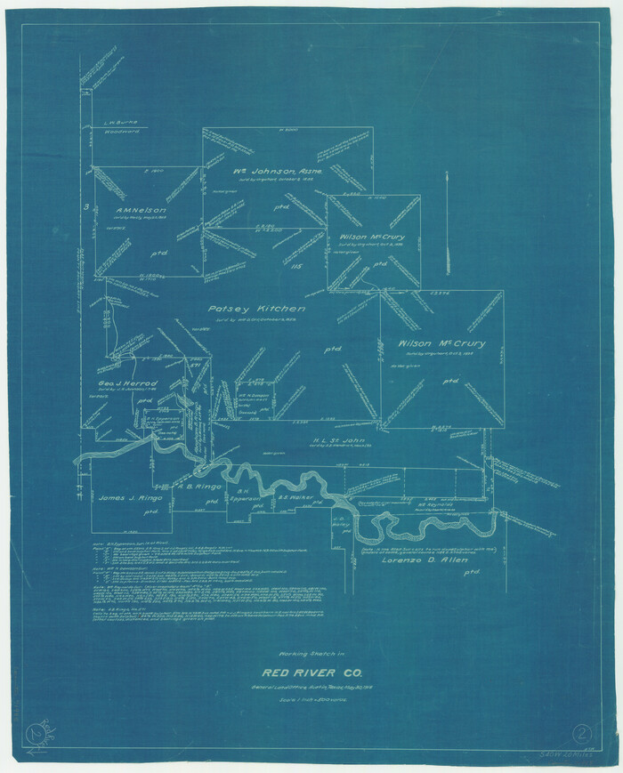

Print $20.00
- Digital $50.00
Red River County Working Sketch 2
1918
Size 26.9 x 21.7 inches
Map/Doc 71985
Flight Mission No. BRA-3M, Frame 123, Jefferson County
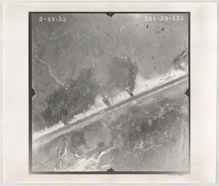

Print $20.00
- Digital $50.00
Flight Mission No. BRA-3M, Frame 123, Jefferson County
1953
Size 18.5 x 21.7 inches
Map/Doc 85397
![79399, General Highway Map. Detail of Cities and Towns in Cameron County, Texas [San Benito, Harlingen, Brownsville and vicinity], Texas State Library and Archives](https://historictexasmaps.com/wmedia_w1800h1800/maps/79399.tif.jpg)
