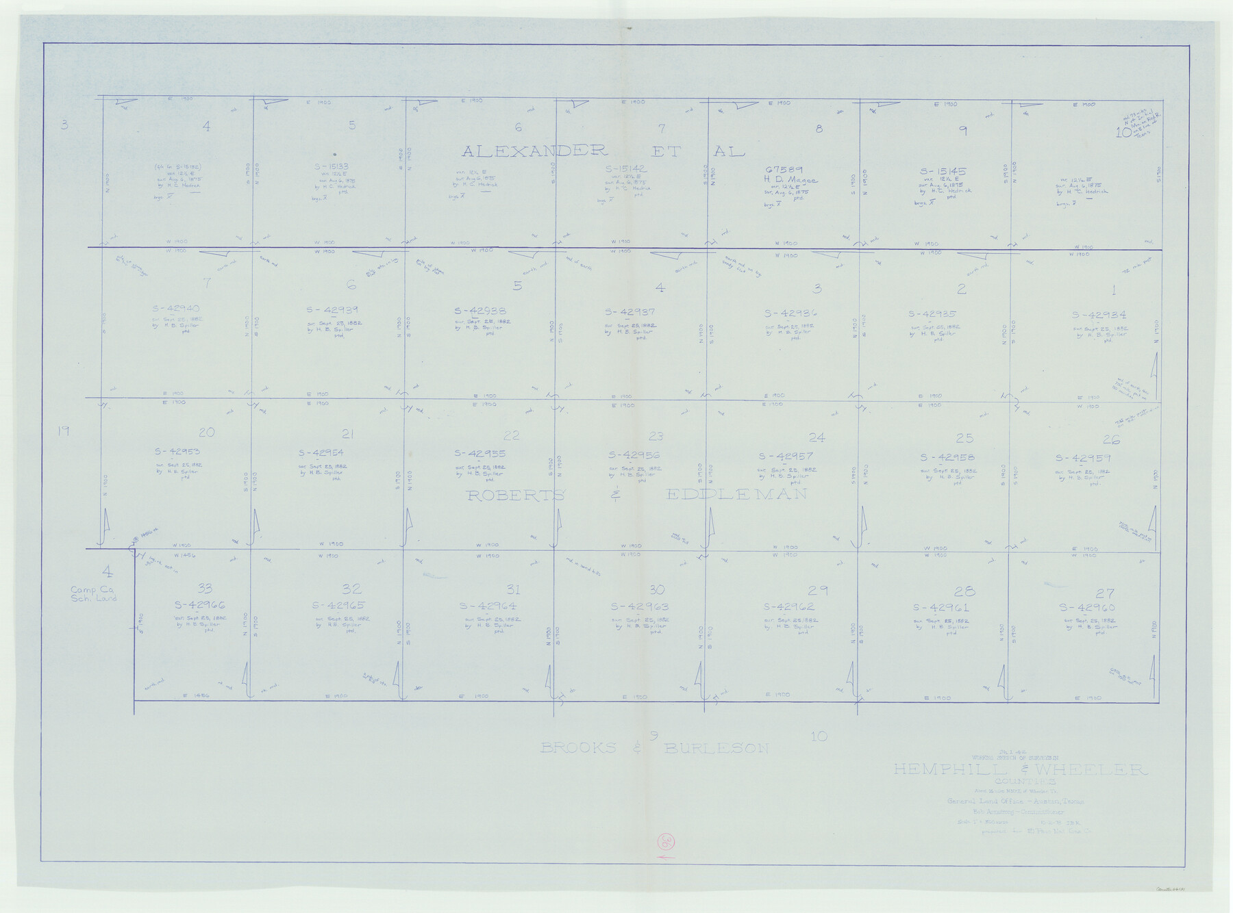
Hemphill County Working Sketch 36
-
Map/Doc
66131
-
Collection
General Map Collection
-
Object Dates
10/2/1978 (Creation Date)
-
People and Organizations
Joan Kilpatrick (Draftsman)
-
Counties
Hemphill Wheeler
-
Subjects
Surveying Working Sketch
-
Height x Width
38.3 x 51.7 inches
97.3 x 131.3 cm
-
Scale
1" = 300 varas
Part of: General Map Collection
Sketch H Showing the progress of the Survey in Section No. 8

Print $20.00
- Digital $50.00
Sketch H Showing the progress of the Survey in Section No. 8
1846
Size 17.1 x 20.6 inches
Map/Doc 97222
Bowie County Sketch File 7a

Print $30.00
- Digital $50.00
Bowie County Sketch File 7a
1927
Size 11.2 x 8.7 inches
Map/Doc 14854
Flight Mission No. DAH-9M, Frame 163, Orange County

Print $20.00
- Digital $50.00
Flight Mission No. DAH-9M, Frame 163, Orange County
1953
Size 18.4 x 22.4 inches
Map/Doc 86862
Atascosa County Sketch File 1

Print $8.00
- Digital $50.00
Atascosa County Sketch File 1
Size 8.1 x 6.1 inches
Map/Doc 13718
Flight Mission No. CLL-1N, Frame 18, Willacy County

Print $20.00
- Digital $50.00
Flight Mission No. CLL-1N, Frame 18, Willacy County
1954
Size 18.3 x 22.1 inches
Map/Doc 87005
Kerr County Sketch File 15

Print $20.00
- Digital $50.00
Kerr County Sketch File 15
Size 23.7 x 16.8 inches
Map/Doc 11919
Crane County Rolled Sketch 5A

Print $20.00
- Digital $50.00
Crane County Rolled Sketch 5A
1927
Size 38.0 x 46.4 inches
Map/Doc 8678
King County Sketch File 7

Print $72.00
- Digital $50.00
King County Sketch File 7
1901
Size 11.1 x 8.5 inches
Map/Doc 29030
Aransas Pass to Baffin Bay

Print $20.00
- Digital $50.00
Aransas Pass to Baffin Bay
1976
Size 41.9 x 35.3 inches
Map/Doc 73419
Lamar County Sketch File 10

Print $4.00
- Digital $50.00
Lamar County Sketch File 10
1872
Size 8.1 x 9.9 inches
Map/Doc 29293
Carte Reduit d'une partie des Côtes des Isles Australes

Print $20.00
- Digital $50.00
Carte Reduit d'une partie des Côtes des Isles Australes
1782
Size 12.7 x 17.3 inches
Map/Doc 97122
Parker County Sketch File 13

Print $4.00
- Digital $50.00
Parker County Sketch File 13
1860
Size 12.1 x 8.0 inches
Map/Doc 33546
You may also like
Flight Mission No. BRA-9M, Frame 61, Jefferson County

Print $20.00
- Digital $50.00
Flight Mission No. BRA-9M, Frame 61, Jefferson County
1953
Size 18.7 x 22.4 inches
Map/Doc 85644
Flight Mission No. DQN-5K, Frame 80, Calhoun County

Print $20.00
- Digital $50.00
Flight Mission No. DQN-5K, Frame 80, Calhoun County
1953
Size 18.5 x 22.1 inches
Map/Doc 84413
Victoria County Sketch File 12

Print $4.00
- Digital $50.00
Victoria County Sketch File 12
1978
Size 11.4 x 8.9 inches
Map/Doc 39540
Glasscock County Working Sketch Graphic Index

Print $20.00
- Digital $50.00
Glasscock County Working Sketch Graphic Index
1933
Size 43.7 x 37.0 inches
Map/Doc 76554
Flight Mission No. CRC-3R, Frame 27, Chambers County

Print $20.00
- Digital $50.00
Flight Mission No. CRC-3R, Frame 27, Chambers County
1956
Size 18.7 x 22.3 inches
Map/Doc 84801

Wichita County Boundary File 4

Print $20.00
- Digital $50.00
Wichita County Boundary File 4
Size 12.4 x 38.3 inches
Map/Doc 59914
[Sketch for Mineral Application 1487 -Big Wichita River, Ernest R. Smith]
![65684, [Sketch for Mineral Application 1487 -Big Wichita River, Ernest R. Smith], General Map Collection](https://historictexasmaps.com/wmedia_w700/maps/65684.tif.jpg)
Print $40.00
- Digital $50.00
[Sketch for Mineral Application 1487 -Big Wichita River, Ernest R. Smith]
1918
Size 32.2 x 130.1 inches
Map/Doc 65684
Llano County Sketch File 17

Print $20.00
- Digital $50.00
Llano County Sketch File 17
1949
Size 21.8 x 20.2 inches
Map/Doc 12012
Upshur County Sketch File 14

Print $10.00
- Digital $50.00
Upshur County Sketch File 14
1936
Size 11.4 x 8.8 inches
Map/Doc 38757
Live Oak County Working Sketch 36

Print $20.00
- Digital $50.00
Live Oak County Working Sketch 36
2008
Size 33.5 x 35.8 inches
Map/Doc 88879
Presidio County Rolled Sketch 66

Print $20.00
- Digital $50.00
Presidio County Rolled Sketch 66
1920
Size 19.4 x 37.5 inches
Map/Doc 7357