Harris County Rolled Sketch P57
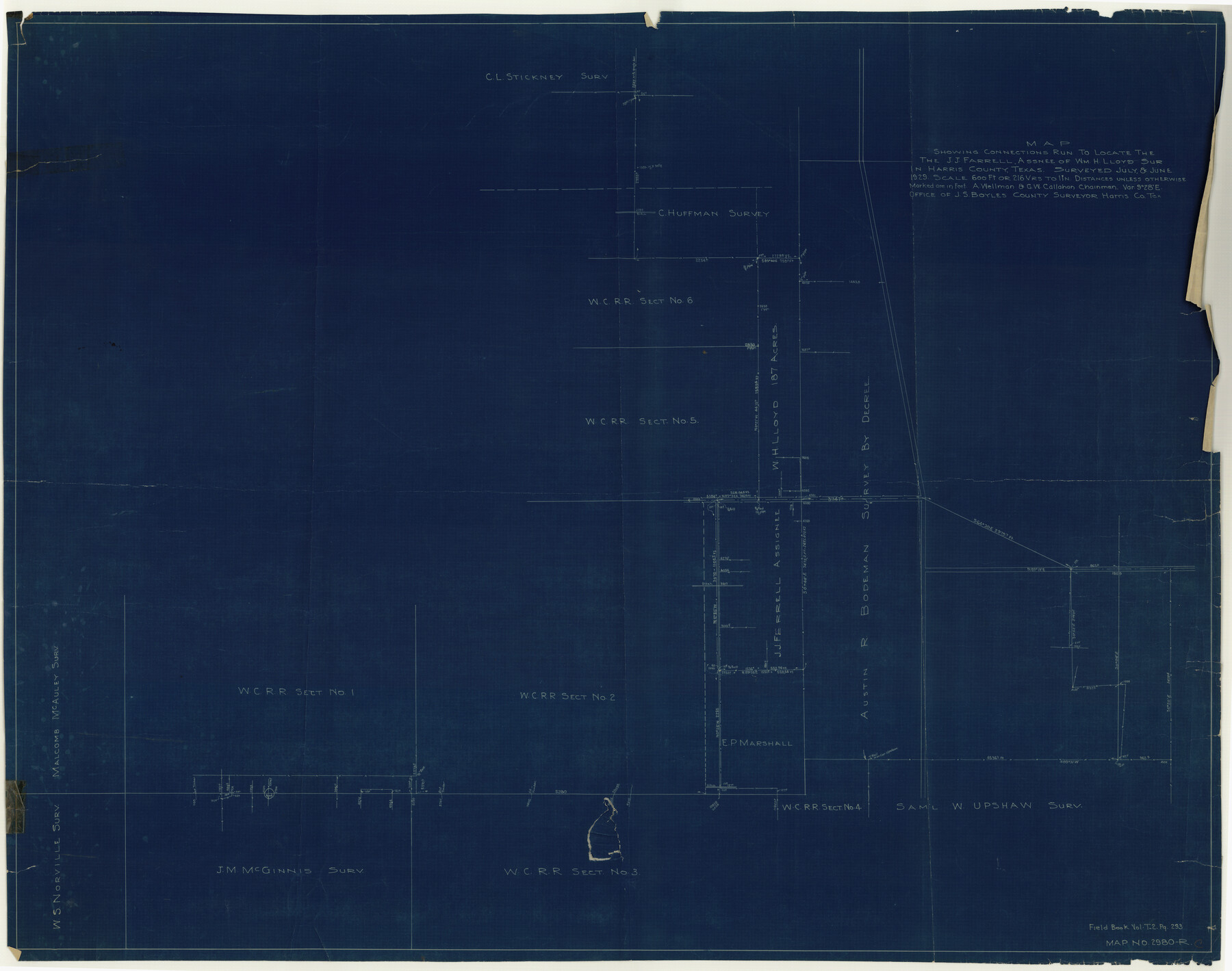
Map showing connections run to locate the J.J. Farrell, assnee of Wm. H. Lloyd sur. in Harris County, Texas
-
Map/Doc
9118
-
Collection
General Map Collection
-
Object Dates
1929 (Creation Date)
1929/8/5 (File Date)
-
People and Organizations
J.S. Boyles (Surveyor/Engineer)
G.W. Callahan (Chainman/Field Personnel)
A. Wellman (Chainman/Field Personnel)
-
Counties
Harris
-
Subjects
Surveying Rolled Sketch
-
Height x Width
29.6 x 37.5 inches
75.2 x 95.3 cm
-
Medium
blueprint/diazo
-
Scale
1" = 216 varas
Part of: General Map Collection
Hutchinson County Rolled Sketch 37A

Print $40.00
- Digital $50.00
Hutchinson County Rolled Sketch 37A
1950
Size 26.0 x 51.1 inches
Map/Doc 9247
Lampasas County Working Sketch Graphic Index

Print $20.00
- Digital $50.00
Lampasas County Working Sketch Graphic Index
1972
Size 34.6 x 42.0 inches
Map/Doc 76614
Duval County Rolled Sketch 32

Print $20.00
- Digital $50.00
Duval County Rolled Sketch 32
Size 38.5 x 37.3 inches
Map/Doc 8817
Freestone County Rolled Sketch 1

Print $20.00
- Digital $50.00
Freestone County Rolled Sketch 1
1947
Size 28.1 x 26.0 inches
Map/Doc 5909
Flight Mission No. DCL-6C, Frame 14, Kenedy County

Print $20.00
- Digital $50.00
Flight Mission No. DCL-6C, Frame 14, Kenedy County
1943
Size 18.7 x 22.4 inches
Map/Doc 85871
Randall County Rolled Sketch 9A

Print $20.00
- Digital $50.00
Randall County Rolled Sketch 9A
1985
Size 44.5 x 35.0 inches
Map/Doc 10314
Culberson County Working Sketch 89

Print $20.00
- Digital $50.00
Culberson County Working Sketch 89
1984
Size 34.6 x 30.0 inches
Map/Doc 68543
San Patricio County Aerial Photograph Index Sheet 3

Print $20.00
- Digital $50.00
San Patricio County Aerial Photograph Index Sheet 3
1957
Size 19.1 x 24.0 inches
Map/Doc 83745
Padre Island National Seashore

Print $2.00
- Digital $50.00
Padre Island National Seashore
Size 11.2 x 8.2 inches
Map/Doc 60524
San Saba County

Print $20.00
- Digital $50.00
San Saba County
1987
Size 46.3 x 42.5 inches
Map/Doc 73284
Live Oak County Working Sketch 11

Print $20.00
- Digital $50.00
Live Oak County Working Sketch 11
1949
Size 29.7 x 25.7 inches
Map/Doc 70596
Shelby County Working Sketch 10

Print $20.00
- Digital $50.00
Shelby County Working Sketch 10
1945
Size 42.8 x 43.9 inches
Map/Doc 63863
You may also like
Angelina County

Print $40.00
- Digital $50.00
Angelina County
1945
Size 38.9 x 49.3 inches
Map/Doc 77200
Webb County Working Sketch 13

Print $20.00
- Digital $50.00
Webb County Working Sketch 13
1922
Size 14.6 x 11.4 inches
Map/Doc 72378
Madison County Working Sketch 12

Print $40.00
- Digital $50.00
Madison County Working Sketch 12
1965
Size 41.7 x 48.5 inches
Map/Doc 70774
Flight Mission No. BQY-4M, Frame 123, Harris County

Print $20.00
- Digital $50.00
Flight Mission No. BQY-4M, Frame 123, Harris County
1953
Size 18.7 x 22.4 inches
Map/Doc 85291
McLennan County Working Sketch 5

Print $20.00
- Digital $50.00
McLennan County Working Sketch 5
1943
Size 14.6 x 12.8 inches
Map/Doc 70698
Van Zandt County Sketch File A45

Print $40.00
- Digital $50.00
Van Zandt County Sketch File A45
Size 14.2 x 13.7 inches
Map/Doc 39501
Baylor County Sketch File A9

Print $8.00
- Digital $50.00
Baylor County Sketch File A9
1926
Size 11.4 x 8.9 inches
Map/Doc 14096

Zappe Land Company's Subdivision of Chas. Butler Lands

Print $20.00
- Digital $50.00
Zappe Land Company's Subdivision of Chas. Butler Lands
Size 20.4 x 16.5 inches
Map/Doc 92735
Flight Mission No. BRA-16M, Frame 103, Jefferson County

Print $20.00
- Digital $50.00
Flight Mission No. BRA-16M, Frame 103, Jefferson County
1953
Size 18.5 x 22.3 inches
Map/Doc 85715
Cochran County Sketch File 5

Print $24.00
- Digital $50.00
Cochran County Sketch File 5
1932
Size 11.1 x 8.7 inches
Map/Doc 18542
A Visit to Texas: Being The Journal of a Traveler Through Those Parts Most Interesting to American Settlers. With Descriptions of Scenery, Habits, & c. &c.

Print $560.00
- Digital $50.00
A Visit to Texas: Being The Journal of a Traveler Through Those Parts Most Interesting to American Settlers. With Descriptions of Scenery, Habits, & c. &c.
1834
Size 8.0 x 5.2 inches
Map/Doc 93849