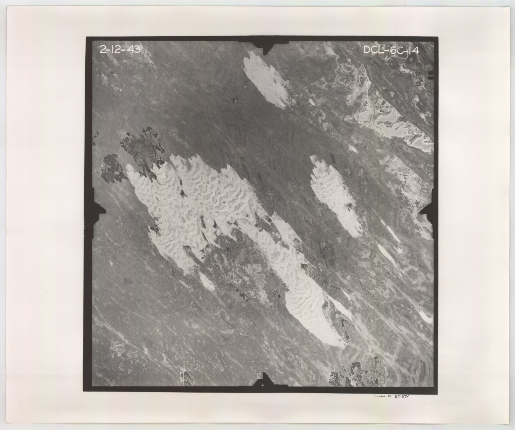
Flight Mission No. DCL-6C, Frame 14, Kenedy County
DCL-6C-14
-
Map/Doc
85871
-
Collection
General Map Collection
-
Object Dates
1943/2/12 (Creation Date)
-
People and Organizations
U. S. Department of Agriculture (Publisher)
-
Counties
Kenedy
-
Subjects
Aerial Photograph
-
Height x Width
18.7 x 22.4 inches
47.5 x 56.9 cm
-
Comments
Flown by Aerial Surveys of Pittsburgh, Inc. of Pittsburgh, Pennsylvania.
Part of: General Map Collection
Jeff Davis County Sketch File 46

Print $8.00
- Digital $50.00
Jeff Davis County Sketch File 46
1906
Size 13.5 x 8.8 inches
Map/Doc 28080
Wichita County Sketch File 35

Print $8.00
- Digital $50.00
Wichita County Sketch File 35
1950
Size 14.3 x 8.5 inches
Map/Doc 40157
Wharton County Sketch File 22

Print $20.00
- Digital $50.00
Wharton County Sketch File 22
1911
Size 20.1 x 15.4 inches
Map/Doc 12666
Webb County Sketch File C

Print $10.00
- Digital $50.00
Webb County Sketch File C
1915
Size 14.4 x 8.8 inches
Map/Doc 39668
New Map of the State of Texas compiled from J. De Cordova's large map

Print $20.00
- Digital $50.00
New Map of the State of Texas compiled from J. De Cordova's large map
1855
Map/Doc 93943
Hardeman County Working Sketch 5

Print $20.00
- Digital $50.00
Hardeman County Working Sketch 5
Size 23.0 x 35.7 inches
Map/Doc 63386
Burnet County Sketch File 4

Print $4.00
- Digital $50.00
Burnet County Sketch File 4
1860
Size 8.2 x 7.9 inches
Map/Doc 16676
Travis County Working Sketch 5

Print $20.00
- Digital $50.00
Travis County Working Sketch 5
1910
Size 28.3 x 20.7 inches
Map/Doc 69389
Foard County Sketch File 23

Print $32.00
- Digital $50.00
Foard County Sketch File 23
Size 11.3 x 9.0 inches
Map/Doc 22846
Map of Hopkins Co.

Print $20.00
- Digital $50.00
Map of Hopkins Co.
1885
Size 34.0 x 33.9 inches
Map/Doc 16854
Uvalde County Working Sketch 37

Print $20.00
- Digital $50.00
Uvalde County Working Sketch 37
1969
Size 26.7 x 34.0 inches
Map/Doc 72107
Traveller's Map of the State of Texas

Print $20.00
- Digital $50.00
Traveller's Map of the State of Texas
1867
Size 40.6 x 38.2 inches
Map/Doc 4327
You may also like
Bosque County Sketch File 2

Print $4.00
- Digital $50.00
Bosque County Sketch File 2
1847
Size 7.8 x 12.4 inches
Map/Doc 14740
Mason County Working Sketch 21

Print $20.00
- Digital $50.00
Mason County Working Sketch 21
1945
Size 37.1 x 43.2 inches
Map/Doc 70857
Hays County Rolled Sketch 32

Print $20.00
- Digital $50.00
Hays County Rolled Sketch 32
2003
Size 15.6 x 20.0 inches
Map/Doc 78489
El Paso County Sketch File 1a

Print $4.00
- Digital $50.00
El Paso County Sketch File 1a
Size 12.1 x 8.2 inches
Map/Doc 21907
Jim Wells Co.

Print $20.00
- Digital $50.00
Jim Wells Co.
1913
Size 43.7 x 22.1 inches
Map/Doc 16861

Callahan County Working Sketch 2

Print $20.00
- Digital $50.00
Callahan County Working Sketch 2
1952
Size 29.1 x 35.4 inches
Map/Doc 67884
Sabine County Sketch File 6a

Print $4.00
Sabine County Sketch File 6a
1878
Size 8.1 x 12.5 inches
Map/Doc 35615
Crosby County Sketch File 35

Print $4.00
- Digital $50.00
Crosby County Sketch File 35
Size 8.5 x 12.1 inches
Map/Doc 20106
Foard County Rolled Sketch 12

Print $20.00
- Digital $50.00
Foard County Rolled Sketch 12
1945
Size 26.8 x 19.7 inches
Map/Doc 5886

Refugio County Rolled Sketch 5

Print $20.00
- Digital $50.00
Refugio County Rolled Sketch 5
1941
Size 45.0 x 42.5 inches
Map/Doc 9859