[Leagues 575, 578, 609, and 616, Blocks T2, T3, and K13]
140-8
-
Map/Doc
91053
-
Collection
Twichell Survey Records
-
Counties
Lamb
-
Height x Width
20.5 x 20.0 inches
52.1 x 50.8 cm
Part of: Twichell Survey Records
[Surveys in the vicinity of Archibald Smith's Survey and the Cyrena McReara Survey]
![92118, [Surveys in the vicinity of Archibald Smith's Survey and the Cyrena McReara Survey], Twichell Survey Records](https://historictexasmaps.com/wmedia_w700/maps/92118-1.tif.jpg)
![92118, [Surveys in the vicinity of Archibald Smith's Survey and the Cyrena McReara Survey], Twichell Survey Records](https://historictexasmaps.com/wmedia_w700/maps/92118-1.tif.jpg)
Print $20.00
- Digital $50.00
[Surveys in the vicinity of Archibald Smith's Survey and the Cyrena McReara Survey]
Size 27.8 x 32.5 inches
Map/Doc 92118
[Worksheets related to the Wilson Strickland survey and vicinity]
![91265, [Vicinity and related to the Wilson Strickland Survey], Twichell Survey Records](https://historictexasmaps.com/wmedia_w700/maps/91265-1.tif.jpg)
![91265, [Vicinity and related to the Wilson Strickland Survey], Twichell Survey Records](https://historictexasmaps.com/wmedia_w700/maps/91265-1.tif.jpg)
Print $20.00
- Digital $50.00
[Worksheets related to the Wilson Strickland survey and vicinity]
Size 39.0 x 11.6 inches
Map/Doc 91265
Martin-Ameen Addition, City of Lubbock, South 100 Acres of Southeast Quarter, Section 5, Block E


Print $20.00
- Digital $50.00
Martin-Ameen Addition, City of Lubbock, South 100 Acres of Southeast Quarter, Section 5, Block E
Size 30.9 x 24.6 inches
Map/Doc 92737
[Sketch showing surveys 9, 10, 15, 65 and 96]
![91759, [Sketch showing surveys 9, 10, 15, 65 and 96], Twichell Survey Records](https://historictexasmaps.com/wmedia_w700/maps/91759-1.tif.jpg)
![91759, [Sketch showing surveys 9, 10, 15, 65 and 96], Twichell Survey Records](https://historictexasmaps.com/wmedia_w700/maps/91759-1.tif.jpg)
Print $20.00
- Digital $50.00
[Sketch showing surveys 9, 10, 15, 65 and 96]
1919
Size 17.9 x 17.1 inches
Map/Doc 91759
Tahoka Consolidated Independent School District


Print $20.00
- Digital $50.00
Tahoka Consolidated Independent School District
Size 34.1 x 22.1 inches
Map/Doc 92943
[Sketch showing surveys on the south side of the Canadian River, Blocks 4, M-3, M-19, M-20, 21-W, and Y-2]
![91740, [Sketch showing surveys on the south side of the Canadian River, Blocks 4, M-3, M-19, M-20, 21-W, and Y-2], Twichell Survey Records](https://historictexasmaps.com/wmedia_w700/maps/91740-1.tif.jpg)
![91740, [Sketch showing surveys on the south side of the Canadian River, Blocks 4, M-3, M-19, M-20, 21-W, and Y-2], Twichell Survey Records](https://historictexasmaps.com/wmedia_w700/maps/91740-1.tif.jpg)
Print $20.00
- Digital $50.00
[Sketch showing surveys on the south side of the Canadian River, Blocks 4, M-3, M-19, M-20, 21-W, and Y-2]
Size 43.4 x 25.1 inches
Map/Doc 91740
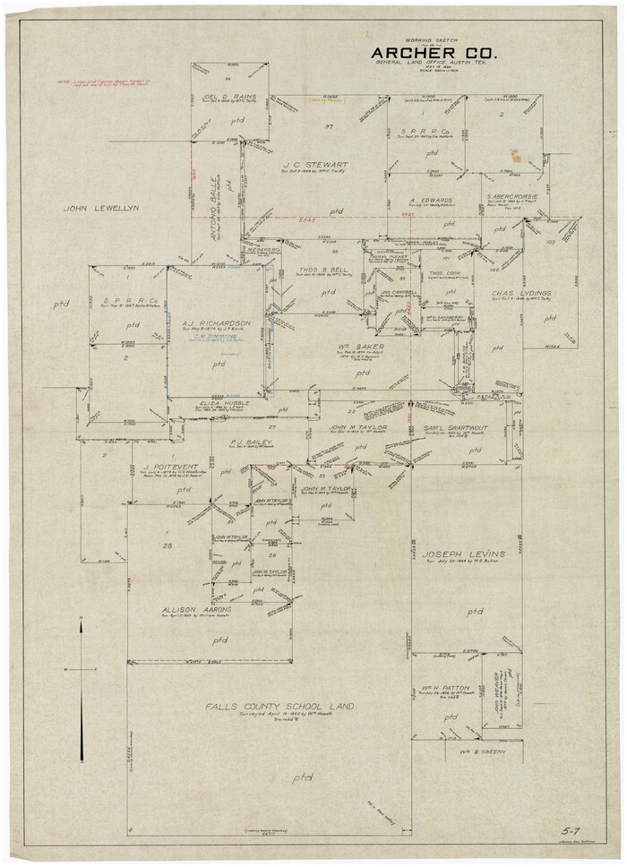
Working Sketch in Archer County

Print $20.00
- Digital $50.00
Working Sketch in Archer County
1924
Size 30.7 x 42.4 inches
Map/Doc 89980
Rhyne Simpson Addition City of Lubbock Section 3, Block O


Print $20.00
- Digital $50.00
Rhyne Simpson Addition City of Lubbock Section 3, Block O
1951
Size 18.2 x 23.4 inches
Map/Doc 92845
Sketch Showing Original Corners Affecting Block I and Adjacent Surveys from Actual Connections by W. D. Twichell


Print $20.00
- Digital $50.00
Sketch Showing Original Corners Affecting Block I and Adjacent Surveys from Actual Connections by W. D. Twichell
Size 23.4 x 24.4 inches
Map/Doc 90162
Jeff Davis Co.


Print $20.00
- Digital $50.00
Jeff Davis Co.
1915
Size 26.0 x 28.0 inches
Map/Doc 92174
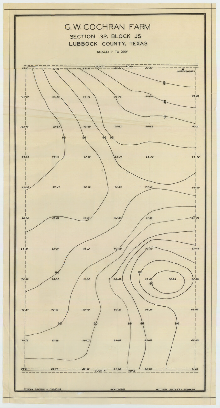
G. W. Cochran Farm Section 32, Block JS

Print $20.00
- Digital $50.00
G. W. Cochran Farm Section 32, Block JS
1943
Size 12.6 x 23.4 inches
Map/Doc 92328
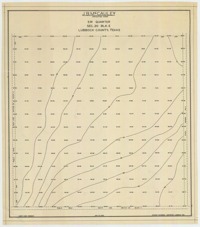
J. B. McCauley Irrigated Farm SW Quarter Section 20, Block E

Print $20.00
- Digital $50.00
J. B. McCauley Irrigated Farm SW Quarter Section 20, Block E
1944
Size 20.7 x 23.5 inches
Map/Doc 92335
You may also like
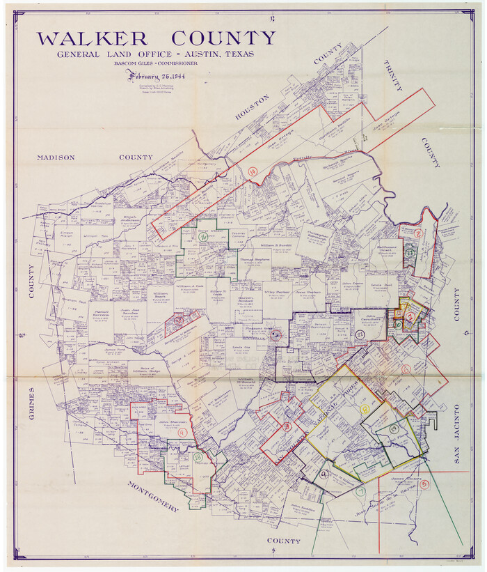
Walker County Working Sketch Graphic Index

Print $20.00
- Digital $50.00
Walker County Working Sketch Graphic Index
1944
Size 43.3 x 36.8 inches
Map/Doc 76729
McCulloch County Working Sketch 14
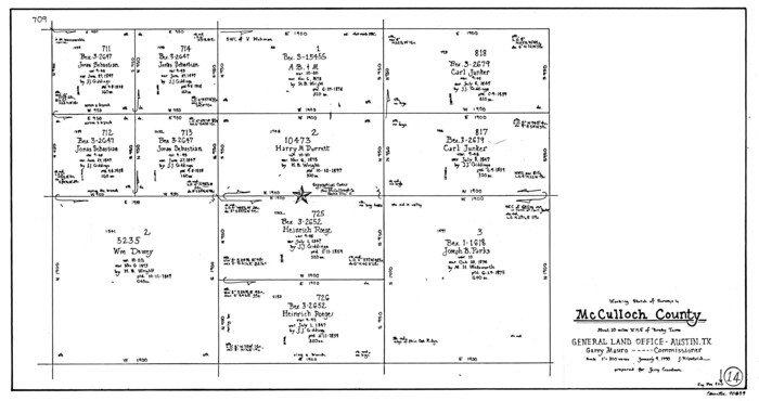

Print $20.00
- Digital $50.00
McCulloch County Working Sketch 14
1990
Size 15.3 x 29.0 inches
Map/Doc 70689
Duval County Rolled Sketch 47
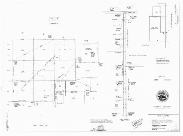

Print $40.00
- Digital $50.00
Duval County Rolled Sketch 47
1991
Size 35.4 x 48.0 inches
Map/Doc 8824
Kenedy County Working Sketch 4
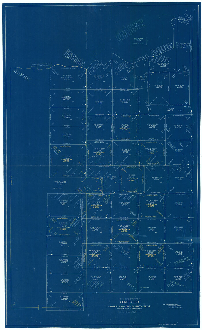

Print $40.00
- Digital $50.00
Kenedy County Working Sketch 4
1954
Size 60.3 x 37.0 inches
Map/Doc 70006
Nueces County Sketch File 10

Print $4.00
- Digital $50.00
Nueces County Sketch File 10
Size 8.2 x 10.1 inches
Map/Doc 32516
Archer County Working Sketch 5


Print $20.00
- Digital $50.00
Archer County Working Sketch 5
1919
Size 14.7 x 23.4 inches
Map/Doc 67145
Sulphur River, Ringo Crossing Sheet


Print $20.00
- Digital $50.00
Sulphur River, Ringo Crossing Sheet
1933
Size 18.5 x 20.4 inches
Map/Doc 78334
Dimmit County Sketch File 2


Print $6.00
- Digital $50.00
Dimmit County Sketch File 2
Size 8.6 x 7.9 inches
Map/Doc 21055
Flight Mission No. DQN-2K, Frame 128, Calhoun County
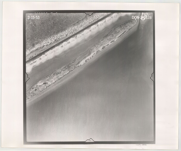

Print $20.00
- Digital $50.00
Flight Mission No. DQN-2K, Frame 128, Calhoun County
1953
Size 18.6 x 22.3 inches
Map/Doc 84302
Burnet County Boundary File 4

Print $30.00
- Digital $50.00
Burnet County Boundary File 4
Size 8.8 x 8.1 inches
Map/Doc 50872
Presidio County Working Sketch 123
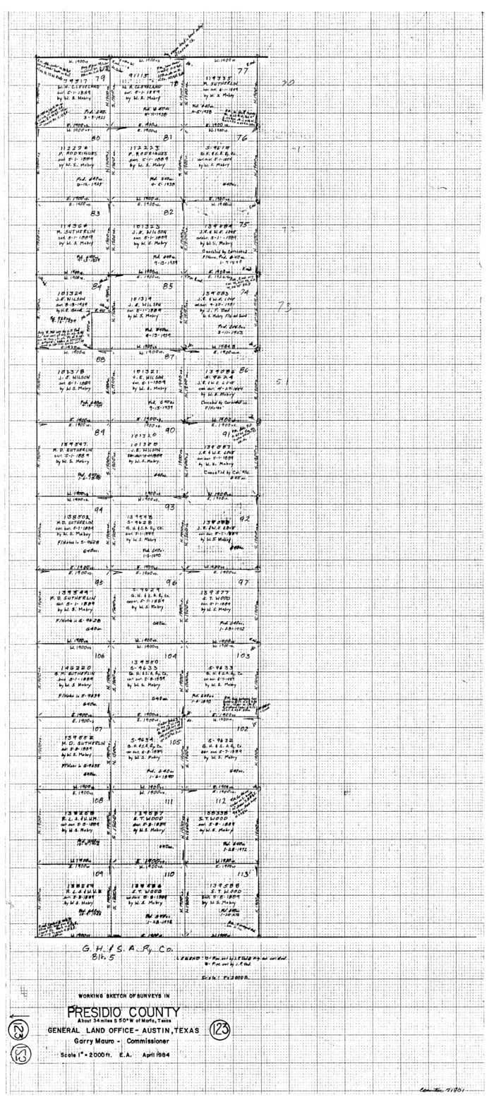

Print $20.00
- Digital $50.00
Presidio County Working Sketch 123
1984
Size 39.5 x 17.7 inches
Map/Doc 71801
Calhoun County NRC Article 33.136 Sketch 9


Print $106.00
- Digital $50.00
Calhoun County NRC Article 33.136 Sketch 9
2021
Map/Doc 96913
![91053, [Leagues 575, 578, 609, and 616, Blocks T2, T3, and K13], Twichell Survey Records](https://historictexasmaps.com/wmedia_w1800h1800/maps/91053-1.tif.jpg)