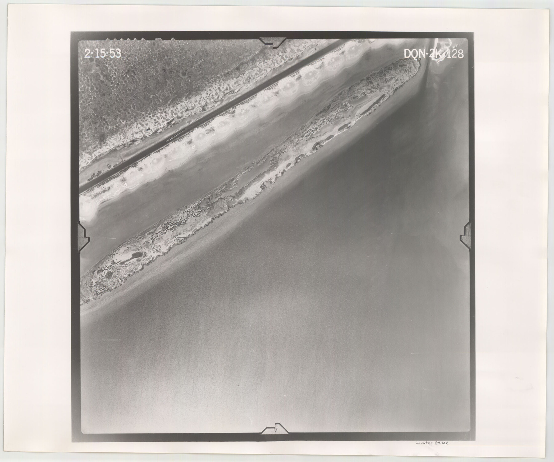
Flight Mission No. DQN-2K, Frame 128, Calhoun County
DQN-2K-128
-
Map/Doc
84302
-
Collection
General Map Collection
-
Object Dates
1953/2/15 (Creation Date)
-
People and Organizations
U. S. Department of Agriculture (Publisher)
-
Counties
Calhoun
-
Subjects
Aerial Photograph
-
Height x Width
18.6 x 22.3 inches
47.2 x 56.6 cm
-
Comments
Flown by Aero Exploration Company of Tulsa, Oklahoma.
Part of: General Map Collection
Val Verde County Sketch File Z8

Print $20.00
- Digital $50.00
Val Verde County Sketch File Z8
1884
Size 25.2 x 19.9 inches
Map/Doc 12553
Flight Mission No. BRA-16M, Frame 145, Jefferson County

Print $20.00
- Digital $50.00
Flight Mission No. BRA-16M, Frame 145, Jefferson County
1953
Size 18.7 x 22.3 inches
Map/Doc 85751
Lee County Working Sketch 10

Print $20.00
- Digital $50.00
Lee County Working Sketch 10
1979
Size 32.6 x 35.4 inches
Map/Doc 70389
Austin County Sketch File 3

Print $40.00
- Digital $50.00
Austin County Sketch File 3
Size 17.1 x 13.6 inches
Map/Doc 10870
Kimble County Sketch File 31

Print $20.00
- Digital $50.00
Kimble County Sketch File 31
1890
Size 26.0 x 24.3 inches
Map/Doc 11929
Jack County Working Sketch 16

Print $20.00
- Digital $50.00
Jack County Working Sketch 16
1982
Size 25.7 x 25.7 inches
Map/Doc 66442
Parker County Working Sketch 29

Print $20.00
- Digital $50.00
Parker County Working Sketch 29
2020
Size 24.3 x 35.9 inches
Map/Doc 95961
Flight Mission No. BRA-16M, Frame 63, Jefferson County

Print $20.00
- Digital $50.00
Flight Mission No. BRA-16M, Frame 63, Jefferson County
1953
Size 18.6 x 22.3 inches
Map/Doc 85680
Current Miscellaneous File 120

Print $14.00
- Digital $50.00
Current Miscellaneous File 120
Size 8.5 x 11.0 inches
Map/Doc 88754
[Surveys in the Bexar District along the San Antonio River showing the position of the missions]
![125, [Surveys in the Bexar District along the San Antonio River showing the position of the missions], General Map Collection](https://historictexasmaps.com/wmedia_w700/maps/125.tif.jpg)
Print $3.00
- Digital $50.00
[Surveys in the Bexar District along the San Antonio River showing the position of the missions]
1841
Size 11.2 x 16.0 inches
Map/Doc 125
Morris County Rolled Sketch 2A

Print $20.00
- Digital $50.00
Morris County Rolled Sketch 2A
Size 24.4 x 19.3 inches
Map/Doc 10266
Flight Mission No. BRA-16M, Frame 167, Jefferson County

Print $20.00
- Digital $50.00
Flight Mission No. BRA-16M, Frame 167, Jefferson County
1953
Size 18.5 x 22.3 inches
Map/Doc 85765
You may also like
Bastrop County

Print $20.00
- Digital $50.00
Bastrop County
1879
Size 27.1 x 26.1 inches
Map/Doc 692
Kerr County Sketch File 21

Print $10.00
- Digital $50.00
Kerr County Sketch File 21
1954
Size 11.1 x 8.7 inches
Map/Doc 28892
Real County Sketch File 3

Print $16.00
- Digital $50.00
Real County Sketch File 3
1906
Size 9.2 x 8.2 inches
Map/Doc 35039
Val Verde County Sketch File H

Print $14.00
- Digital $50.00
Val Verde County Sketch File H
1891
Size 8.9 x 6.9 inches
Map/Doc 39291
Map and Profile of the Denison and Pacific Railway from Denison to Whitesboro

Print $40.00
- Digital $50.00
Map and Profile of the Denison and Pacific Railway from Denison to Whitesboro
1878
Size 42.5 x 57.5 inches
Map/Doc 64284
Flight Mission No. DAG-21K, Frame 95, Matagorda County

Print $20.00
- Digital $50.00
Flight Mission No. DAG-21K, Frame 95, Matagorda County
1952
Size 18.6 x 22.2 inches
Map/Doc 86424
Moore County Rolled Sketch 4

Print $20.00
- Digital $50.00
Moore County Rolled Sketch 4
Size 21.1 x 12.1 inches
Map/Doc 6824
Armstrong County Sketch File C

Print $46.00
- Digital $50.00
Armstrong County Sketch File C
1904
Size 16.4 x 15.7 inches
Map/Doc 10856
Flight Mission No. BRE-1P, Frame 44, Nueces County

Print $20.00
- Digital $50.00
Flight Mission No. BRE-1P, Frame 44, Nueces County
1956
Size 18.3 x 22.1 inches
Map/Doc 86633
Grandfield Bridge Sheet

Print $20.00
Grandfield Bridge Sheet
1920
Size 39.4 x 35.8 inches
Map/Doc 79751
Wichita County Sketch File 35

Print $8.00
- Digital $50.00
Wichita County Sketch File 35
1950
Size 14.3 x 8.5 inches
Map/Doc 40157
Brazos River, Brazos River Sheet 8

Print $20.00
- Digital $50.00
Brazos River, Brazos River Sheet 8
1926
Size 22.2 x 27.7 inches
Map/Doc 69672