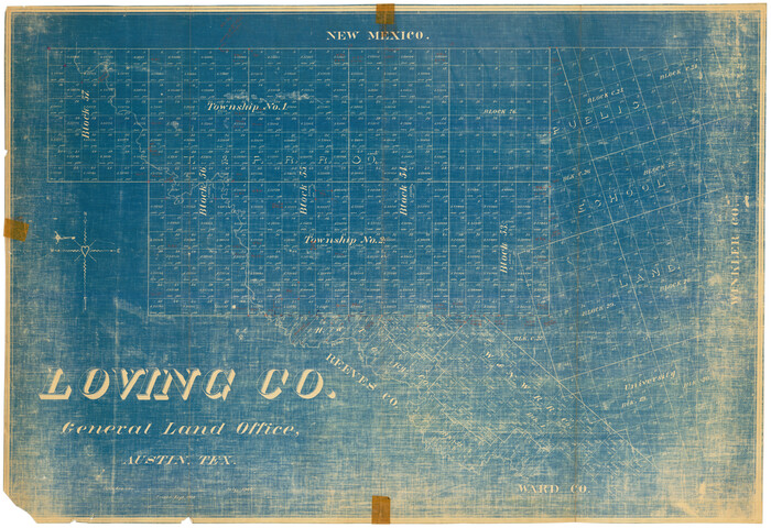
Part of: Twichell Survey Records
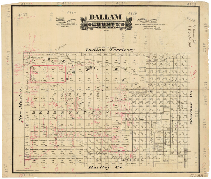
Dallam County

Print $20.00
- Digital $50.00
Dallam County
1888
Size 29.5 x 24.6 inches
Map/Doc 90654
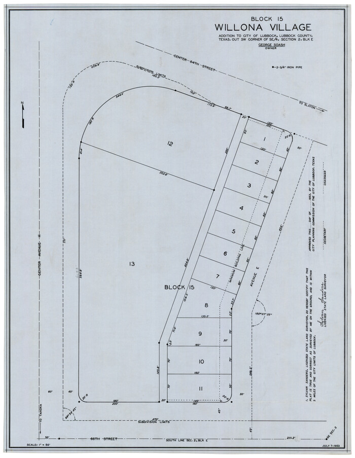
Block 15, Willona Village, Addition to City of Lubbock, Out SW Corner of SE/4, Section 2, Blk E, George Soash, Owner

Print $20.00
- Digital $50.00
Block 15, Willona Village, Addition to City of Lubbock, Out SW Corner of SE/4, Section 2, Blk E, George Soash, Owner
1953
Size 18.2 x 23.1 inches
Map/Doc 92772
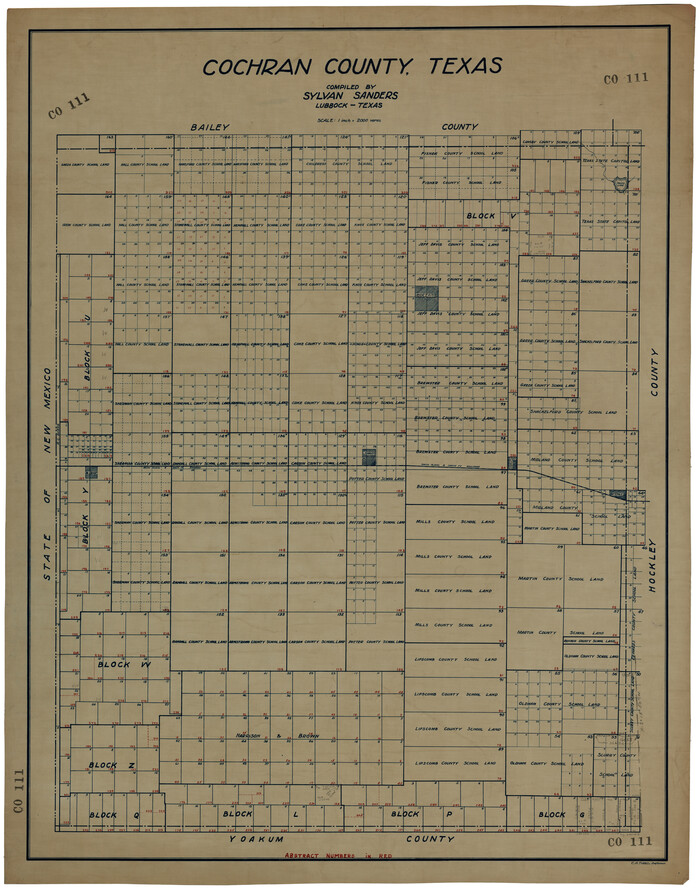
Cochran County, Texas

Print $20.00
- Digital $50.00
Cochran County, Texas
Size 29.8 x 37.5 inches
Map/Doc 92492
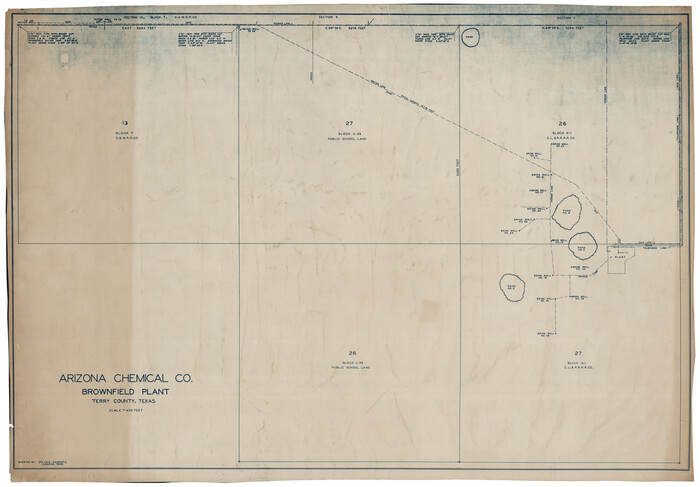
Arizona Chemical Co. Brownfield Plant

Print $20.00
- Digital $50.00
Arizona Chemical Co. Brownfield Plant
Size 28.3 x 19.9 inches
Map/Doc 92892
Plat Showing Subdivision of Wilbarger County School Land Hockley County, Texas


Print $20.00
- Digital $50.00
Plat Showing Subdivision of Wilbarger County School Land Hockley County, Texas
1947
Size 20.0 x 20.9 inches
Map/Doc 92255
[E. L. & R. R. Block 10]
![91352, [E. L. & R. R. Block 10], Twichell Survey Records](https://historictexasmaps.com/wmedia_w700/maps/91352-1.tif.jpg)
![91352, [E. L. & R. R. Block 10], Twichell Survey Records](https://historictexasmaps.com/wmedia_w700/maps/91352-1.tif.jpg)
Print $20.00
- Digital $50.00
[E. L. & R. R. Block 10]
Size 25.6 x 15.8 inches
Map/Doc 91352
[Blocks JB, SI, K3, A, and S4]
![90776, [Blocks JB, SI, K3, A, and S4], Twichell Survey Records](https://historictexasmaps.com/wmedia_w700/maps/90776-1.tif.jpg)
![90776, [Blocks JB, SI, K3, A, and S4], Twichell Survey Records](https://historictexasmaps.com/wmedia_w700/maps/90776-1.tif.jpg)
Print $20.00
- Digital $50.00
[Blocks JB, SI, K3, A, and S4]
Size 23.6 x 15.2 inches
Map/Doc 90776
J. H. Webb Subdivision


Print $20.00
- Digital $50.00
J. H. Webb Subdivision
1951
Size 12.2 x 17.8 inches
Map/Doc 92412
[Blocks M18, M23, I, Z, and Block 47, Sections 16 - 28]
![91175, [Blocks M18, M23, I, Z, and Block 47, Sections 16 - 28], Twichell Survey Records](https://historictexasmaps.com/wmedia_w700/maps/91175-1.tif.jpg)
![91175, [Blocks M18, M23, I, Z, and Block 47, Sections 16 - 28], Twichell Survey Records](https://historictexasmaps.com/wmedia_w700/maps/91175-1.tif.jpg)
Print $20.00
- Digital $50.00
[Blocks M18, M23, I, Z, and Block 47, Sections 16 - 28]
Size 18.9 x 24.3 inches
Map/Doc 91175
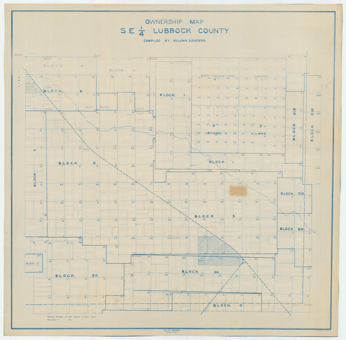
Ownership Map SE 1/4 Lubbock County

Print $20.00
- Digital $50.00
Ownership Map SE 1/4 Lubbock County
Size 36.6 x 35.9 inches
Map/Doc 89898
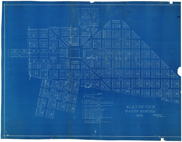
Slaton-Tex Water System

Print $20.00
- Digital $50.00
Slaton-Tex Water System
1922
Size 47.7 x 37.6 inches
Map/Doc 92818
You may also like
[Jack District]
![1993, [Jack District], General Map Collection](https://historictexasmaps.com/wmedia_w700/maps/1993-1.tif.jpg)
![1993, [Jack District], General Map Collection](https://historictexasmaps.com/wmedia_w700/maps/1993-1.tif.jpg)
Print $40.00
- Digital $50.00
[Jack District]
1878
Size 42.1 x 64.5 inches
Map/Doc 1993
Zavala County Sketch File 17


Print $64.00
- Digital $50.00
Zavala County Sketch File 17
1900
Size 9.1 x 10.1 inches
Map/Doc 41324
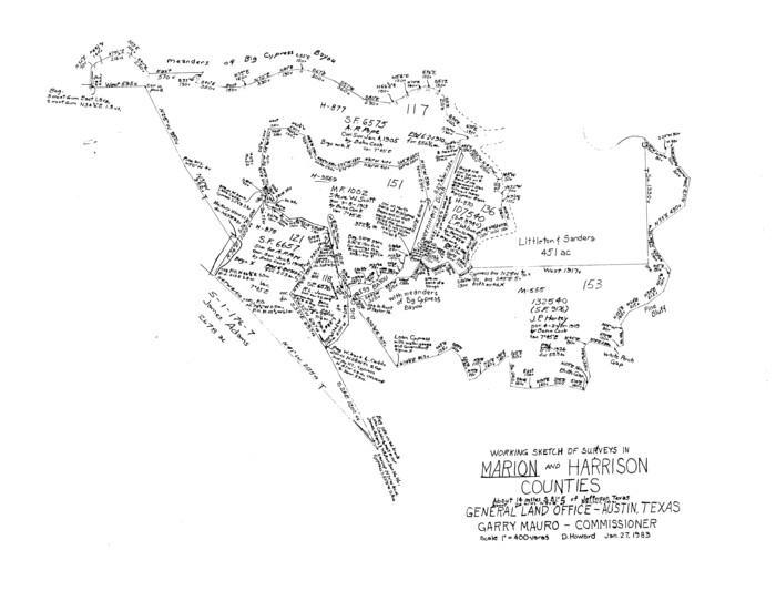
Marion County Working Sketch 33

Print $20.00
- Digital $50.00
Marion County Working Sketch 33
1983
Size 16.0 x 20.7 inches
Map/Doc 70809
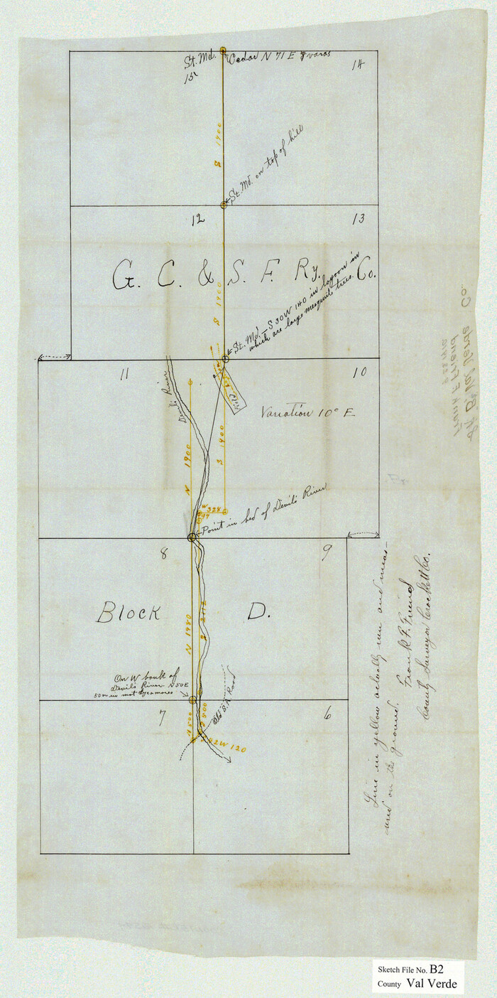
Val Verde County Sketch File B2

Print $20.00
- Digital $50.00
Val Verde County Sketch File B2
1910
Size 24.5 x 12.2 inches
Map/Doc 12544
Flight Mission No. BRE-2P, Frame 11, Nueces County


Print $20.00
- Digital $50.00
Flight Mission No. BRE-2P, Frame 11, Nueces County
1956
Size 18.6 x 22.7 inches
Map/Doc 86720
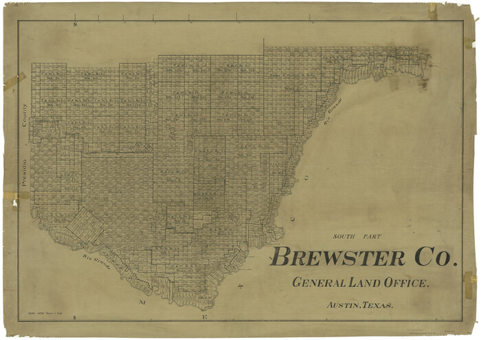
South Part Brewster Co.

Print $40.00
- Digital $50.00
South Part Brewster Co.
Size 36.5 x 51.5 inches
Map/Doc 66723
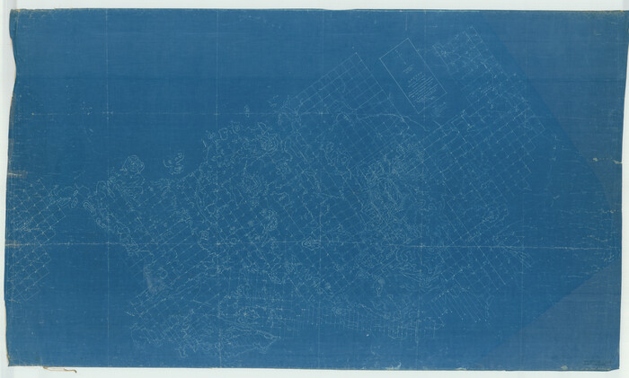
Brewster County Rolled Sketch 43A

Print $40.00
- Digital $50.00
Brewster County Rolled Sketch 43A
Size 39.5 x 65.6 inches
Map/Doc 8477
Flight Mission No. CLL-1N, Frame 113, Willacy County


Print $20.00
- Digital $50.00
Flight Mission No. CLL-1N, Frame 113, Willacy County
1954
Size 18.3 x 22.0 inches
Map/Doc 87047
Kimble County Working Sketch 55


Print $20.00
- Digital $50.00
Kimble County Working Sketch 55
1954
Size 14.3 x 30.1 inches
Map/Doc 70123
[North County Line]
![90521, [North County Line], Twichell Survey Records](https://historictexasmaps.com/wmedia_w700/maps/90521-1.tif.jpg)
![90521, [North County Line], Twichell Survey Records](https://historictexasmaps.com/wmedia_w700/maps/90521-1.tif.jpg)
Print $3.00
- Digital $50.00
[North County Line]
Size 17.3 x 6.6 inches
Map/Doc 90521
Kinney County Sketch File 35


Print $6.00
- Digital $50.00
Kinney County Sketch File 35
1944
Size 14.2 x 8.7 inches
Map/Doc 29185
![91026, [Castro, Lamb, Hockley, Swisher, Hale, and Lubbock Counties], Twichell Survey Records](https://historictexasmaps.com/wmedia_w1800h1800/maps/91026-1.tif.jpg)
