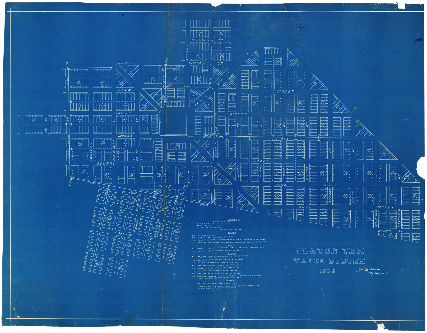
Slaton-Tex Water System
-
Map/Doc
92818
-
Collection
Twichell Survey Records
-
Object Dates
1922 (Creation Date)
-
Counties
Lubbock
-
Subjects
City
-
Height x Width
47.7 x 37.6 inches
121.2 x 95.5 cm
-
Medium
blueprint
Part of: Twichell Survey Records
Section 10, Block Z, Cochran County, Texas

Print $20.00
- Digital $50.00
Section 10, Block Z, Cochran County, Texas
1952
Size 12.2 x 17.0 inches
Map/Doc 92521
Southeast Corner of Gray County

Print $20.00
- Digital $50.00
Southeast Corner of Gray County
1882
Size 18.8 x 22.6 inches
Map/Doc 90757
[Capitol Leagues 216-229]
![90705, [Capitol Leagues 216-229], Twichell Survey Records](https://historictexasmaps.com/wmedia_w700/maps/90705-1.tif.jpg)
Print $20.00
- Digital $50.00
[Capitol Leagues 216-229]
Size 25.2 x 26.7 inches
Map/Doc 90705
[Throckmorton County]
![89875, [Throckmorton County], Twichell Survey Records](https://historictexasmaps.com/wmedia_w700/maps/89875-1.tif.jpg)
Print $20.00
- Digital $50.00
[Throckmorton County]
Size 39.7 x 40.0 inches
Map/Doc 89875
[T. & P. Block 35, Townships 4N and 5N]
![90629, [T. & P. Block 35, Townships 4N and 5N], Twichell Survey Records](https://historictexasmaps.com/wmedia_w700/maps/90629-1.tif.jpg)
Print $20.00
- Digital $50.00
[T. & P. Block 35, Townships 4N and 5N]
Size 26.3 x 34.7 inches
Map/Doc 90629
[Sketch showing I. & G. N. Block 1 along river, Runnels County School Land and Ira G. Yates]
![91595, [Sketch showing I. & G. N. Block 1 along river, Runnels County School Land and Ira G. Yates], Twichell Survey Records](https://historictexasmaps.com/wmedia_w700/maps/91595-1.tif.jpg)
Print $20.00
- Digital $50.00
[Sketch showing I. & G. N. Block 1 along river, Runnels County School Land and Ira G. Yates]
Size 17.2 x 23.3 inches
Map/Doc 91595
Map of Martin County, Texas

Print $20.00
- Digital $50.00
Map of Martin County, Texas
Size 17.7 x 22.6 inches
Map/Doc 91362
[North part of University Lands Block 20]
![91581, [North part of University Lands Block 20], Twichell Survey Records](https://historictexasmaps.com/wmedia_w700/maps/91581-1.tif.jpg)
Print $2.00
- Digital $50.00
[North part of University Lands Block 20]
Size 10.8 x 8.3 inches
Map/Doc 91581
Working Sketch in Pecos Co. [now Val Verde and Terrell Counties] / [Connecting Lines]
![91945, Working Sketch in Pecos Co. [now Val Verde and Terrell Counties] / [Connecting Lines], Twichell Survey Records](https://historictexasmaps.com/wmedia_w700/maps/91945-1.tif.jpg)
Print $20.00
- Digital $50.00
Working Sketch in Pecos Co. [now Val Verde and Terrell Counties] / [Connecting Lines]
Size 29.6 x 21.8 inches
Map/Doc 91945
This Map Shows the Surveys 61 to 69 by Dod's Monuments in Accordance with Dod's Course in Stanolind vs. State

Print $20.00
- Digital $50.00
This Map Shows the Surveys 61 to 69 by Dod's Monuments in Accordance with Dod's Course in Stanolind vs. State
Size 17.6 x 12.5 inches
Map/Doc 91688
Sketch Showing Survey of Sec. 2 Public School Lands Block B-16, Ector County, Texas

Print $20.00
- Digital $50.00
Sketch Showing Survey of Sec. 2 Public School Lands Block B-16, Ector County, Texas
1930
Size 39.6 x 20.9 inches
Map/Doc 90924
[Sketch Showing Blocks O18, P Mc, B10 and B11]
![93105, [Sketch Showing Blocks O18, P Mc, B10 and B11], Twichell Survey Records](https://historictexasmaps.com/wmedia_w700/maps/93105-1.tif.jpg)
Print $3.00
- Digital $50.00
[Sketch Showing Blocks O18, P Mc, B10 and B11]
Size 11.1 x 11.1 inches
Map/Doc 93105
You may also like
Kerr County Working Sketch 22

Print $40.00
- Digital $50.00
Kerr County Working Sketch 22
1965
Size 50.9 x 40.4 inches
Map/Doc 70053
Midway Townsite Located on the Northeast Quarter Section 4, Block 32, T 2 S, Howard County, Texas

Print $3.00
- Digital $50.00
Midway Townsite Located on the Northeast Quarter Section 4, Block 32, T 2 S, Howard County, Texas
1928
Size 11.4 x 15.3 inches
Map/Doc 92184
Val Verde County Sketch File XXX1

Print $20.00
- Digital $50.00
Val Verde County Sketch File XXX1
Size 18.8 x 24.0 inches
Map/Doc 12547
Township 9 North Range 14 West, North Western District, Louisiana

Print $20.00
- Digital $50.00
Township 9 North Range 14 West, North Western District, Louisiana
1854
Size 19.5 x 24.6 inches
Map/Doc 65873
Flight Mission No. CGI-2N, Frame 184, Cameron County

Print $20.00
- Digital $50.00
Flight Mission No. CGI-2N, Frame 184, Cameron County
1954
Size 18.5 x 22.1 inches
Map/Doc 84544
Freestone County Sketch File 6

Print $4.00
- Digital $50.00
Freestone County Sketch File 6
1858
Size 10.3 x 8.8 inches
Map/Doc 23050
Collingsworth County Rolled Sketch 4

Print $20.00
- Digital $50.00
Collingsworth County Rolled Sketch 4
1960
Size 34.0 x 20.8 inches
Map/Doc 5532
Kendall County Rolled Sketch 5

Print $20.00
- Digital $50.00
Kendall County Rolled Sketch 5
Size 23.4 x 19.3 inches
Map/Doc 6458
Tyler County Sketch File 6-3

Print $20.00
- Digital $50.00
Tyler County Sketch File 6-3
1861
Size 20.0 x 22.1 inches
Map/Doc 12499
Map of Eastern Portion G.C. & S.F.R.R.Co., Block 194

Print $20.00
- Digital $50.00
Map of Eastern Portion G.C. & S.F.R.R.Co., Block 194
Size 35.6 x 26.8 inches
Map/Doc 92421
Chambers County NRC Article 33.136 Sketch 1

Print $62.00
- Digital $50.00
Chambers County NRC Article 33.136 Sketch 1
2002
Size 24.6 x 36.2 inches
Map/Doc 77041
Presidio County Sketch File 21

Print $4.00
- Digital $50.00
Presidio County Sketch File 21
1889
Size 14.2 x 8.7 inches
Map/Doc 34454