[Blocks T1, T2, T3, S3, A, O5, and Capitol Leagues in Northwest Lamb County and Southwest Castro County]
140-83
-
Map/Doc
91005
-
Collection
Twichell Survey Records
-
People and Organizations
Sylvan Sanders (Draftsman)
-
Counties
Lamb Castro
-
Height x Width
30.3 x 34.0 inches
77.0 x 86.4 cm
Part of: Twichell Survey Records
A true copy of Peck's field book No. 7 pages 50 to 55, except classfication of lands


Print $40.00
- Digital $50.00
A true copy of Peck's field book No. 7 pages 50 to 55, except classfication of lands
Size 6.1 x 54.3 inches
Map/Doc 89666
[North part] Cass County
![90385, [North part] Cass County, Twichell Survey Records](https://historictexasmaps.com/wmedia_w700/maps/90385-1.tif.jpg)
![90385, [North part] Cass County, Twichell Survey Records](https://historictexasmaps.com/wmedia_w700/maps/90385-1.tif.jpg)
Print $20.00
- Digital $50.00
[North part] Cass County
1896
Size 37.3 x 19.5 inches
Map/Doc 90385
Part of City of Plains


Print $20.00
- Digital $50.00
Part of City of Plains
Size 37.1 x 23.6 inches
Map/Doc 92449
[Blocks M8, M9, M11, W1, RC, M13, M15 and A]
![91928, [Blocks M8, M9, M11, W1, RC, M13, M15 and A], Twichell Survey Records](https://historictexasmaps.com/wmedia_w700/maps/91928-1.tif.jpg)
![91928, [Blocks M8, M9, M11, W1, RC, M13, M15 and A], Twichell Survey Records](https://historictexasmaps.com/wmedia_w700/maps/91928-1.tif.jpg)
Print $20.00
- Digital $50.00
[Blocks M8, M9, M11, W1, RC, M13, M15 and A]
Size 17.1 x 34.2 inches
Map/Doc 91928
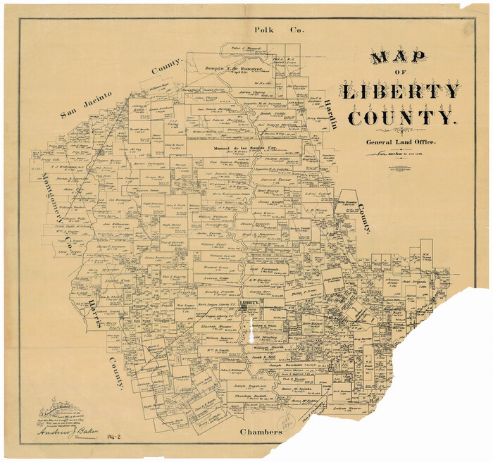
Map of Liberty County

Print $20.00
- Digital $50.00
Map of Liberty County
Size 27.6 x 26.2 inches
Map/Doc 91079
[W. C. RR. Co. Blks. 1 & 2, I. & G. N. RR. Co. Blk. 1, in southeast part of County]
![90487, [W. C. RR. Co. Blks. 1 & 2, I. & G. N. RR. Co. Blk. 1, in southeast part of County], Twichell Survey Records](https://historictexasmaps.com/wmedia_w700/maps/90487-1.tif.jpg)
![90487, [W. C. RR. Co. Blks. 1 & 2, I. & G. N. RR. Co. Blk. 1, in southeast part of County], Twichell Survey Records](https://historictexasmaps.com/wmedia_w700/maps/90487-1.tif.jpg)
Print $2.00
- Digital $50.00
[W. C. RR. Co. Blks. 1 & 2, I. & G. N. RR. Co. Blk. 1, in southeast part of County]
1879
Size 6.5 x 5.8 inches
Map/Doc 90487
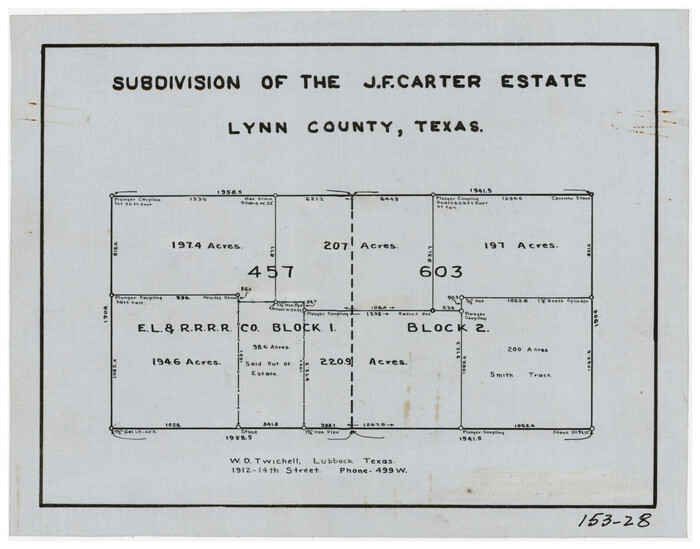
Subdivision of the J. F. Carter Estate

Print $3.00
- Digital $50.00
Subdivision of the J. F. Carter Estate
Size 11.8 x 9.6 inches
Map/Doc 91273
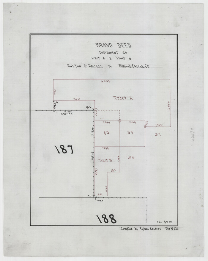
Bravo Deed, Instrument 24, Tract A and Tract B

Print $3.00
- Digital $50.00
Bravo Deed, Instrument 24, Tract A and Tract B
Size 11.4 x 14.2 inches
Map/Doc 91479
[Survey 1, Block MT, and vicinity]
![90683, [Survey 1, Block MT, and vicinity], Twichell Survey Records](https://historictexasmaps.com/wmedia_w700/maps/90683-1.tif.jpg)
![90683, [Survey 1, Block MT, and vicinity], Twichell Survey Records](https://historictexasmaps.com/wmedia_w700/maps/90683-1.tif.jpg)
Print $3.00
- Digital $50.00
[Survey 1, Block MT, and vicinity]
1903
Size 11.1 x 14.6 inches
Map/Doc 90683
Correct Map Lamb County (skeleton sketch)


Print $40.00
- Digital $50.00
Correct Map Lamb County (skeleton sketch)
Size 56.3 x 79.2 inches
Map/Doc 93140
Hutson Addition to Umbarger, sec. 76, Blk. B-5, Randall Co., Texas


Print $20.00
- Digital $50.00
Hutson Addition to Umbarger, sec. 76, Blk. B-5, Randall Co., Texas
Size 30.5 x 29.5 inches
Map/Doc 92155
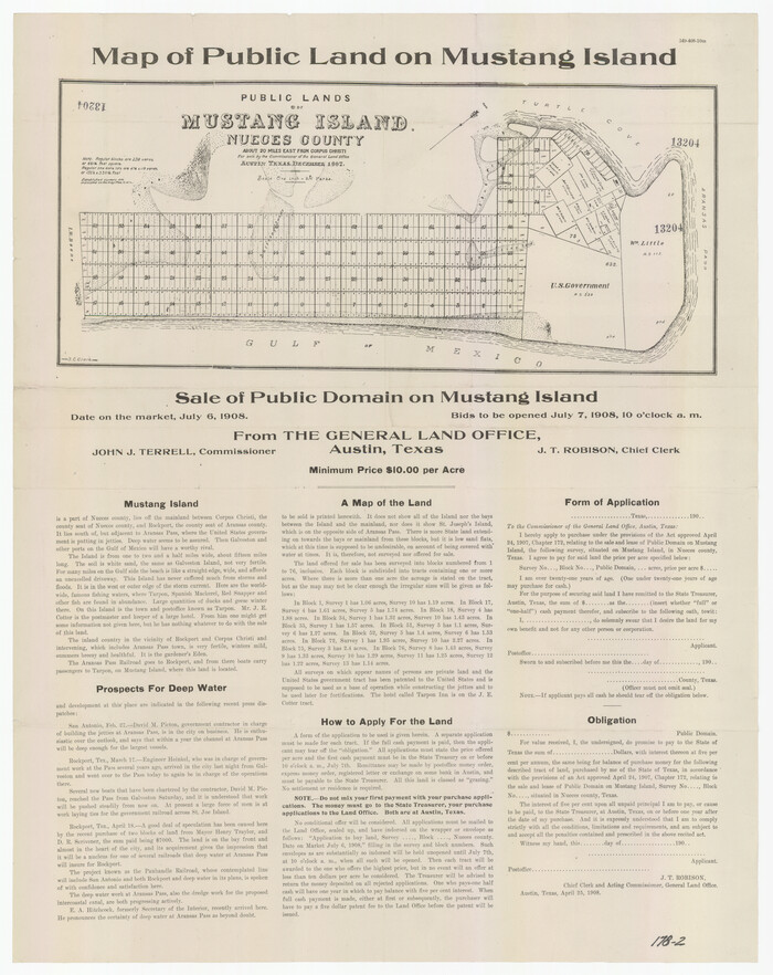
Map of Public Land on Mustang Island

Print $20.00
- Digital $50.00
Map of Public Land on Mustang Island
1907
Size 17.7 x 22.3 inches
Map/Doc 91492
You may also like
Caldwell County Working Sketch 10


Print $40.00
- Digital $50.00
Caldwell County Working Sketch 10
1977
Size 46.2 x 50.5 inches
Map/Doc 67840
Main Line Routes of the Santa Fe Lines
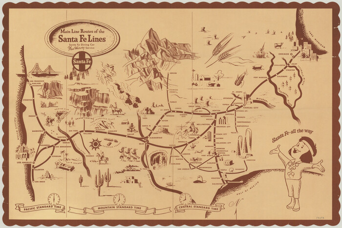

Main Line Routes of the Santa Fe Lines
Size 12.1 x 18.1 inches
Map/Doc 94157
Grimes County Working Sketch 13


Print $20.00
- Digital $50.00
Grimes County Working Sketch 13
1982
Size 39.4 x 47.7 inches
Map/Doc 63304
Potter County Sketch File 17


Print $16.00
- Digital $50.00
Potter County Sketch File 17
1920
Size 11.2 x 8.7 inches
Map/Doc 34403
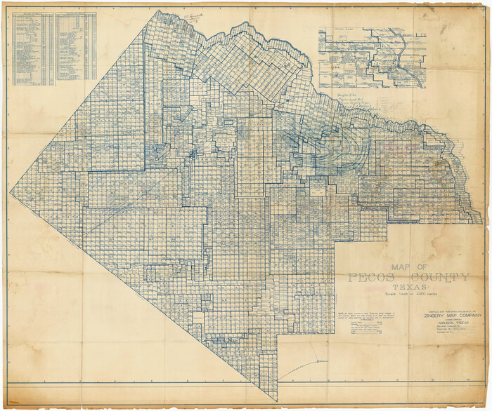
Map of Pecos County, Texas

Print $40.00
- Digital $50.00
Map of Pecos County, Texas
Size 53.2 x 44.9 inches
Map/Doc 89880
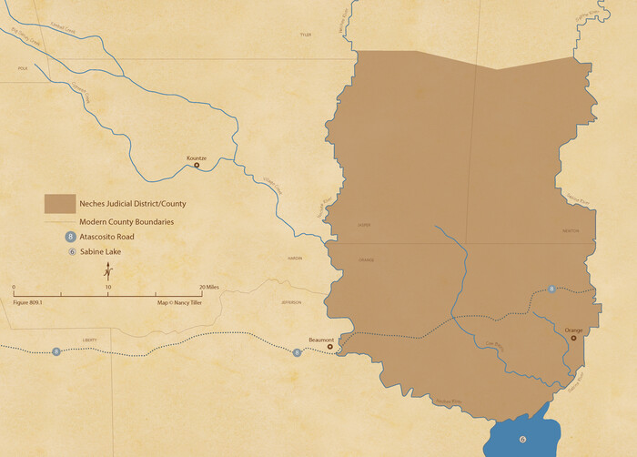
The Judicial District/County of Neches. Created, January 29, 1842

Print $20.00
The Judicial District/County of Neches. Created, January 29, 1842
2020
Size 15.5 x 21.7 inches
Map/Doc 96338
Houston County Sketch File 38


Print $8.00
- Digital $50.00
Houston County Sketch File 38
Size 12.8 x 8.3 inches
Map/Doc 26821
Flight Mission No. DQO-2K, Frame 90, Galveston County


Print $20.00
- Digital $50.00
Flight Mission No. DQO-2K, Frame 90, Galveston County
1952
Size 18.8 x 22.6 inches
Map/Doc 85017
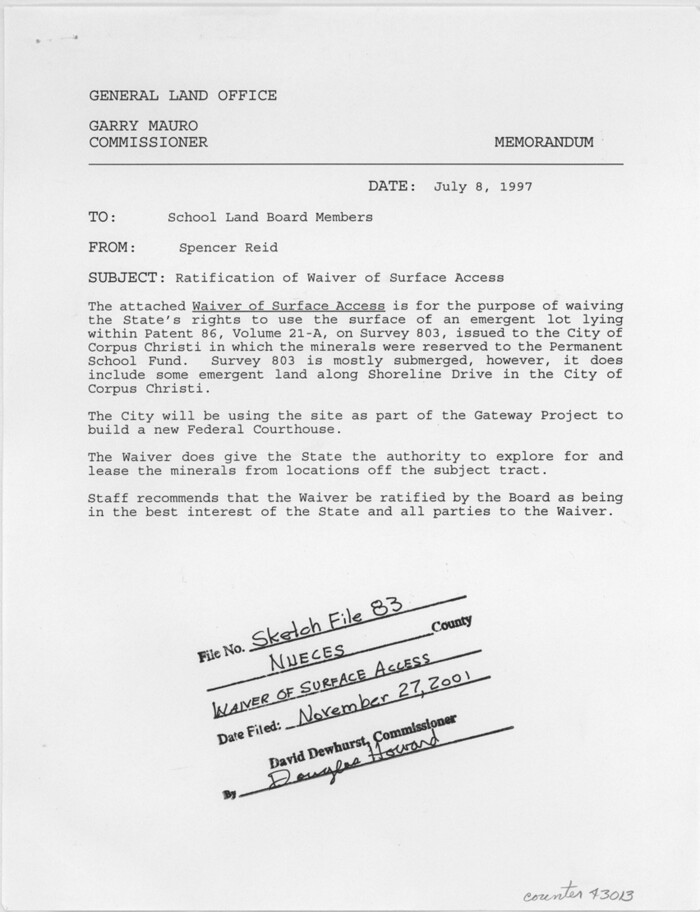
Nueces County Sketch File 83

Print $63.00
- Digital $50.00
Nueces County Sketch File 83
1997
Size 11.1 x 8.5 inches
Map/Doc 43013
[Beaumont, Sour Lake and Western Ry. Right of Way and Alignment - Frisco]
![64133, [Beaumont, Sour Lake and Western Ry. Right of Way and Alignment - Frisco], General Map Collection](https://historictexasmaps.com/wmedia_w700/maps/64133.tif.jpg)
![64133, [Beaumont, Sour Lake and Western Ry. Right of Way and Alignment - Frisco], General Map Collection](https://historictexasmaps.com/wmedia_w700/maps/64133.tif.jpg)
Print $20.00
- Digital $50.00
[Beaumont, Sour Lake and Western Ry. Right of Way and Alignment - Frisco]
1910
Size 20.0 x 45.5 inches
Map/Doc 64133
Upton County Rolled Sketch 19
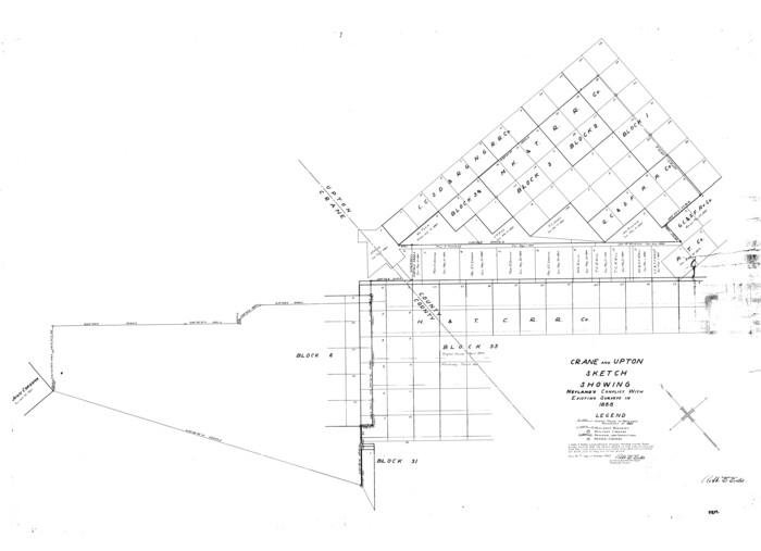

Print $40.00
- Digital $50.00
Upton County Rolled Sketch 19
1933
Size 55.2 x 40.0 inches
Map/Doc 10040
[Blks. 8, 10, CC 41, and 32]
![90118, [Blks. 8, 10, CC 41, and 32], Twichell Survey Records](https://historictexasmaps.com/wmedia_w700/maps/90118-1.tif.jpg)
![90118, [Blks. 8, 10, CC 41, and 32], Twichell Survey Records](https://historictexasmaps.com/wmedia_w700/maps/90118-1.tif.jpg)
Print $20.00
- Digital $50.00
[Blks. 8, 10, CC 41, and 32]
Size 40.6 x 15.4 inches
Map/Doc 90118
![91005, [Blocks T1, T2, T3, S3, A, O5, and Capitol Leagues in Northwest Lamb County and Southwest Castro County], Twichell Survey Records](https://historictexasmaps.com/wmedia_w1800h1800/maps/91005-1.tif.jpg)