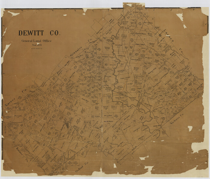
![90385, [North part] Cass County, Twichell Survey Records](https://historictexasmaps.com/wmedia_w1800h1800/maps/90385-1.tif.jpg)
[North part] Cass County
34-1
-
Map/Doc
90385
-
Collection
Twichell Survey Records
-
Object Dates
11/1896 (Creation Date)
-
People and Organizations
General Land Office (Publisher)
F.G. Blau (Draftsman)
-
Counties
Cass
-
Height x Width
37.3 x 19.5 inches
94.7 x 49.5 cm
-
Comments
North half of GLO county map
Part of: Twichell Survey Records
Map of Littlefield's Subdivision of State Capitol Leagues 657- 687

Print $20.00
- Digital $50.00
Map of Littlefield's Subdivision of State Capitol Leagues 657- 687
Size 38.0 x 29.2 inches
Map/Doc 91025
Cochran and Yoakum Counties, Texas

Print $20.00
- Digital $50.00
Cochran and Yoakum Counties, Texas
1945
Size 24.4 x 17.4 inches
Map/Doc 92513
[Unknown Connecting Line]
![92040, [Unknown Connecting Line], Twichell Survey Records](https://historictexasmaps.com/wmedia_w700/maps/92040-1.tif.jpg)
Print $20.00
- Digital $50.00
[Unknown Connecting Line]
Size 28.1 x 23.0 inches
Map/Doc 92040
[Section 25, H. & G. N. Block 1 showing Duck Creek]
![90936, [Section 25, H. & G. N. Block 1 showing Duck Creek], Twichell Survey Records](https://historictexasmaps.com/wmedia_w700/maps/90936-1.tif.jpg)
Print $20.00
- Digital $50.00
[Section 25, H. & G. N. Block 1 showing Duck Creek]
Size 24.9 x 27.9 inches
Map/Doc 90936
League 206 Ochiltree County School Land

Print $20.00
- Digital $50.00
League 206 Ochiltree County School Land
Size 24.0 x 19.5 inches
Map/Doc 92481
[Block 4 and Vicinity]
![91424, [Block 4 and Vicinity], Twichell Survey Records](https://historictexasmaps.com/wmedia_w700/maps/91424-1.tif.jpg)
Print $20.00
- Digital $50.00
[Block 4 and Vicinity]
1883
Size 43.2 x 15.2 inches
Map/Doc 91424
Agua Fria Quadrangle

Print $20.00
- Digital $50.00
Agua Fria Quadrangle
1917
Size 17.2 x 21.1 inches
Map/Doc 90136
E. B. Shipp Irrigated Farm East Part Section 32, Block JS

Print $3.00
- Digital $50.00
E. B. Shipp Irrigated Farm East Part Section 32, Block JS
Size 9.3 x 16.7 inches
Map/Doc 92298
Part of Garza, Crosby, Lynn, and Lubbock Counties

Print $20.00
- Digital $50.00
Part of Garza, Crosby, Lynn, and Lubbock Counties
1912
Size 24.7 x 20.4 inches
Map/Doc 91324
[Blocks B, T, and 1]
![90972, [Blocks B, T, and 1], Twichell Survey Records](https://historictexasmaps.com/wmedia_w700/maps/90972-1.tif.jpg)
Print $2.00
- Digital $50.00
[Blocks B, T, and 1]
Size 9.2 x 13.7 inches
Map/Doc 90972
[Portion of Motley County]
![91501, [Portion of Motley County], Twichell Survey Records](https://historictexasmaps.com/wmedia_w700/maps/91501-1.tif.jpg)
Print $20.00
- Digital $50.00
[Portion of Motley County]
Size 28.8 x 18.4 inches
Map/Doc 91501
Cogdell Ranch Kent County, Texas

Print $20.00
- Digital $50.00
Cogdell Ranch Kent County, Texas
1950
Size 36.3 x 19.2 inches
Map/Doc 92188
You may also like
Llano County Working Sketch 8

Print $20.00
- Digital $50.00
Llano County Working Sketch 8
1978
Size 33.4 x 30.7 inches
Map/Doc 70626
Flight Mission No. DQN-5K, Frame 147, Calhoun County

Print $20.00
- Digital $50.00
Flight Mission No. DQN-5K, Frame 147, Calhoun County
1953
Size 18.5 x 22.1 inches
Map/Doc 84422
Map of Liberty County

Print $40.00
- Digital $50.00
Map of Liberty County
1903
Size 54.9 x 53.6 inches
Map/Doc 16878
Matagorda County Rolled Sketch PHL

Print $20.00
- Digital $50.00
Matagorda County Rolled Sketch PHL
1937
Size 37.3 x 40.0 inches
Map/Doc 9476

General Highway Map, Gregg County, Texas

Print $20.00
General Highway Map, Gregg County, Texas
1961
Size 18.1 x 24.7 inches
Map/Doc 79488
Brewster County Working Sketch 114

Print $20.00
- Digital $50.00
Brewster County Working Sketch 114
1983
Size 36.0 x 31.7 inches
Map/Doc 67714
Through Storyland to Sunset Seas

Through Storyland to Sunset Seas
1895
Size 8.9 x 6.7 inches
Map/Doc 96606
[Blocks K3-K8, K11]
![90611, [Blocks K3-K8, K11], Twichell Survey Records](https://historictexasmaps.com/wmedia_w700/maps/90611-1.tif.jpg)
Print $20.00
- Digital $50.00
[Blocks K3-K8, K11]
Size 16.8 x 17.2 inches
Map/Doc 90611
Duval County Sketch File 22

Print $20.00
- Digital $50.00
Duval County Sketch File 22
1880
Size 31.9 x 23.2 inches
Map/Doc 11386
Mills County Working Sketch 3

Print $20.00
- Digital $50.00
Mills County Working Sketch 3
1905
Size 17.6 x 14.5 inches
Map/Doc 71033