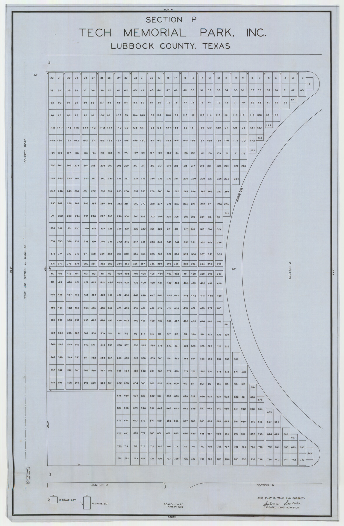
Section P Tech Memorial Park, Inc.
-
Map/Doc
92353
-
Collection
Twichell Survey Records
-
Object Dates
4/14/1953 (Creation Date)
-
People and Organizations
Sylvan Sanders (Surveyor/Engineer)
-
Counties
Lubbock
-
Height x Width
21.1 x 32.3 inches
53.6 x 82.0 cm
Part of: Twichell Survey Records
Map Showing 949 3/10 Acres in the L. Brock, Sam Shupe, R. de la Pena, S. A. & G. M. RR. Surveys

Print $20.00
- Digital $50.00
Map Showing 949 3/10 Acres in the L. Brock, Sam Shupe, R. de la Pena, S. A. & G. M. RR. Surveys
1921
Size 19.5 x 14.9 inches
Map/Doc 92642
[T. H. Jones Blk. O, Blk. F, Coyote Lake Area, Sutton County School Land Leagues]
![90246, [T. H. Jones Blk. O, Blk. F, Coyote Lake Area, Sutton County School Land Leagues], Twichell Survey Records](https://historictexasmaps.com/wmedia_w700/maps/90246-1.tif.jpg)
Print $20.00
- Digital $50.00
[T. H. Jones Blk. O, Blk. F, Coyote Lake Area, Sutton County School Land Leagues]
Size 21.0 x 33.6 inches
Map/Doc 90246
Map of Glasscock County

Print $20.00
- Digital $50.00
Map of Glasscock County
Size 18.9 x 23.2 inches
Map/Doc 90711
[J. Poitevent Blocks 1 and 2, T. & P. Blocks 31-36, Townships 3N-5N and other Blocks in vicinity]
![93195, [J. Poitevent Blocks 1 and 2, T. & P. Blocks 31-36, Townships 3N-5N and other Blocks in vicinity], Twichell Survey Records](https://historictexasmaps.com/wmedia_w700/maps/93195-1.tif.jpg)
Print $40.00
- Digital $50.00
[J. Poitevent Blocks 1 and 2, T. & P. Blocks 31-36, Townships 3N-5N and other Blocks in vicinity]
Size 50.0 x 50.1 inches
Map/Doc 93195
[Sketch of part of G. & M. Block 5, G. & M. Block 4, Block M19 and Block 21W]
![93079, [Sketch of part of G. & M. Block 5, G. & M. Block 4, Block M19 and Block 21W], Twichell Survey Records](https://historictexasmaps.com/wmedia_w700/maps/93079-1.tif.jpg)
Print $20.00
- Digital $50.00
[Sketch of part of G. & M. Block 5, G. & M. Block 4, Block M19 and Block 21W]
Size 22.8 x 15.6 inches
Map/Doc 93079
Ownership Map Midland Co., Texas

Ownership Map Midland Co., Texas
1951
Size 43.2 x 45.3 inches
Map/Doc 89914
[Map of Portion of Pecos County as Surveyed by F. F. Friend]
![91562, [Map of Portion of Pecos County as Surveyed by F. F. Friend], Twichell Survey Records](https://historictexasmaps.com/wmedia_w700/maps/91562-1.tif.jpg)
Print $3.00
- Digital $50.00
[Map of Portion of Pecos County as Surveyed by F. F. Friend]
1926
Size 17.0 x 11.4 inches
Map/Doc 91562
[Sections 47-76 and part of Block 3]
![91807, [Sections 47-76 and part of Block 3], Twichell Survey Records](https://historictexasmaps.com/wmedia_w700/maps/91807-1.tif.jpg)
Print $20.00
- Digital $50.00
[Sections 47-76 and part of Block 3]
Size 34.1 x 31.7 inches
Map/Doc 91807
[Survey 9, Block 9 Potter and Randall]
![91720, [Survey 9, Block 9 Potter and Randall], Twichell Survey Records](https://historictexasmaps.com/wmedia_w700/maps/91720-1.tif.jpg)
Print $20.00
- Digital $50.00
[Survey 9, Block 9 Potter and Randall]
Size 22.3 x 15.9 inches
Map/Doc 91720
Map of Glasscock County

Print $20.00
- Digital $50.00
Map of Glasscock County
Size 18.9 x 23.1 inches
Map/Doc 90710
[Sketch of Leagues 458, 459, 474, 475, 480 and 481]
![91547, [Sketch of Leagues 458, 459, 474, 475, 480 and 481], Twichell Survey Records](https://historictexasmaps.com/wmedia_w700/maps/91547-1.tif.jpg)
Print $2.00
- Digital $50.00
[Sketch of Leagues 458, 459, 474, 475, 480 and 481]
Size 5.2 x 8.3 inches
Map/Doc 91547
[Tie line from Northeast Block 36, Township 5N to Northwest corner Block M]
![90559, [Tie line from Northeast Block 36, Township 5N to Northwest corner Block M], Twichell Survey Records](https://historictexasmaps.com/wmedia_w700/maps/90559-1.tif.jpg)
Print $20.00
- Digital $50.00
[Tie line from Northeast Block 36, Township 5N to Northwest corner Block M]
Size 22.3 x 10.3 inches
Map/Doc 90559
You may also like
Zapata County Sketch File 13a

Print $20.00
- Digital $50.00
Zapata County Sketch File 13a
1935
Size 21.4 x 16.0 inches
Map/Doc 12722
Flight Mission No. DQO-1K, Frame 119, Galveston County

Print $20.00
- Digital $50.00
Flight Mission No. DQO-1K, Frame 119, Galveston County
1952
Size 19.0 x 22.6 inches
Map/Doc 84997
Map of Public Land on Mustang Island

Print $20.00
- Digital $50.00
Map of Public Land on Mustang Island
Size 21.9 x 17.5 inches
Map/Doc 82315
Flight Mission No. CLL-1N, Frame 105, Willacy County

Print $20.00
- Digital $50.00
Flight Mission No. CLL-1N, Frame 105, Willacy County
1954
Size 18.4 x 22.1 inches
Map/Doc 87039
Liberty County Sketch File 60

Print $12.00
- Digital $50.00
Liberty County Sketch File 60
1943
Size 14.2 x 8.6 inches
Map/Doc 30071
Polk County Sketch File 12

Print $4.00
- Digital $50.00
Polk County Sketch File 12
Size 9.0 x 5.8 inches
Map/Doc 34146
Young County Boundary File 1

Print $8.00
- Digital $50.00
Young County Boundary File 1
Size 10.3 x 8.2 inches
Map/Doc 60198
Schleicher County Working Sketch 18

Print $20.00
- Digital $50.00
Schleicher County Working Sketch 18
1948
Size 28.4 x 22.1 inches
Map/Doc 63820
General Highway Map, Fort Bend County, Texas

Print $20.00
General Highway Map, Fort Bend County, Texas
1939
Size 18.6 x 25.2 inches
Map/Doc 79093
Map of surveys made for the Texas & Pacific Railway Co. in Andrews & Tom Green Cos. Blocks 42, 43, 44, 45 & 46 reserve west of the Colorado River

Print $20.00
- Digital $50.00
Map of surveys made for the Texas & Pacific Railway Co. in Andrews & Tom Green Cos. Blocks 42, 43, 44, 45 & 46 reserve west of the Colorado River
1876
Size 42.3 x 37.6 inches
Map/Doc 2225
The Mexican Municipality of Matagorda. Created, March 6, 1834

Print $20.00
The Mexican Municipality of Matagorda. Created, March 6, 1834
2020
Size 15.9 x 21.7 inches
Map/Doc 96025
Flight Mission No. CLL-1N, Frame 38, Willacy County

Print $20.00
- Digital $50.00
Flight Mission No. CLL-1N, Frame 38, Willacy County
1954
Size 18.4 x 22.1 inches
Map/Doc 87019