[R. T. Bucy's Survey 3, League 321]
159-8
-
Map/Doc
91296
-
Collection
Twichell Survey Records
-
People and Organizations
R.T. Bucy (Surveyor/Engineer)
-
Counties
Martin
-
Height x Width
12.2 x 19.1 inches
31.0 x 48.5 cm
Part of: Twichell Survey Records
Subdivision of Nelson W. Willard's Lands


Print $3.00
- Digital $50.00
Subdivision of Nelson W. Willard's Lands
Size 15.0 x 10.8 inches
Map/Doc 92448
[Block S, Sections 4 and 11]
![92834, [Block S, Sections 4 and 11], Twichell Survey Records](https://historictexasmaps.com/wmedia_w700/maps/92834-1.tif.jpg)
![92834, [Block S, Sections 4 and 11], Twichell Survey Records](https://historictexasmaps.com/wmedia_w700/maps/92834-1.tif.jpg)
Print $20.00
- Digital $50.00
[Block S, Sections 4 and 11]
1951
Size 14.8 x 12.2 inches
Map/Doc 92834
[Elizabeth Stanley, William H. Anderson, and surrounding surveys]
![91022, [Elizabeth Stanley, William H. Anderson, and surrounding surveys], Twichell Survey Records](https://historictexasmaps.com/wmedia_w700/maps/91022-1.tif.jpg)
![91022, [Elizabeth Stanley, William H. Anderson, and surrounding surveys], Twichell Survey Records](https://historictexasmaps.com/wmedia_w700/maps/91022-1.tif.jpg)
Print $20.00
- Digital $50.00
[Elizabeth Stanley, William H. Anderson, and surrounding surveys]
Size 27.0 x 18.9 inches
Map/Doc 91022
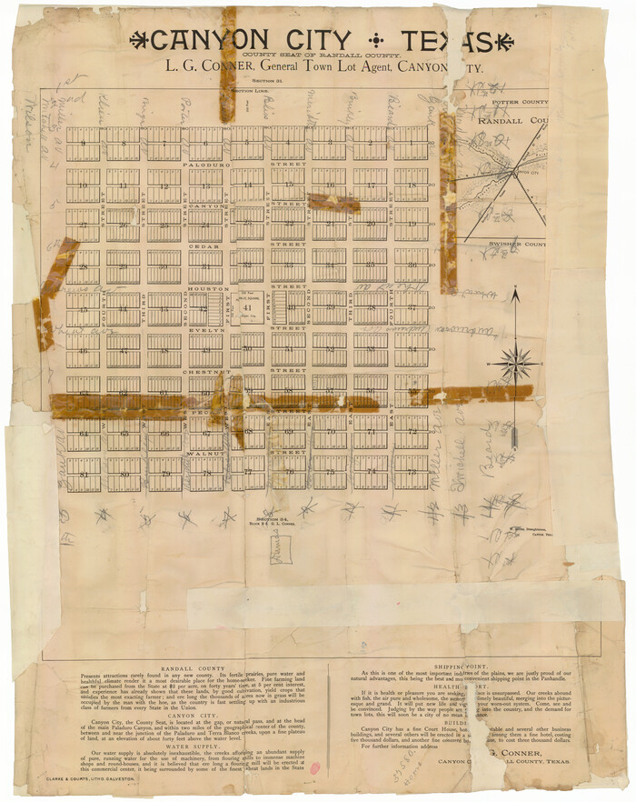
Canyon City,Texas, County Seat of Randall County

Print $20.00
- Digital $50.00
Canyon City,Texas, County Seat of Randall County
Size 20.3 x 25.1 inches
Map/Doc 92152
[Strip along North line of Glasscock County School Land]
![90556, [Strip along North line of Glasscock County School Land], Twichell Survey Records](https://historictexasmaps.com/wmedia_w700/maps/90556-1.tif.jpg)
![90556, [Strip along North line of Glasscock County School Land], Twichell Survey Records](https://historictexasmaps.com/wmedia_w700/maps/90556-1.tif.jpg)
Print $2.00
- Digital $50.00
[Strip along North line of Glasscock County School Land]
Size 4.3 x 6.5 inches
Map/Doc 90556
Map A [showing surveys along river and in vicinity of Archer County School Land League 3]
![89751, Map A [showing surveys along river and in vicinity of Archer County School Land League 3], Twichell Survey Records](https://historictexasmaps.com/wmedia_w700/maps/89751-1.tif.jpg)
![89751, Map A [showing surveys along river and in vicinity of Archer County School Land League 3], Twichell Survey Records](https://historictexasmaps.com/wmedia_w700/maps/89751-1.tif.jpg)
Print $20.00
- Digital $50.00
Map A [showing surveys along river and in vicinity of Archer County School Land League 3]
Size 42.3 x 38.0 inches
Map/Doc 89751
[Blocks M-22, M-25 and vicinity]
![91235, [Blocks M-22, M-25 and vicinity], Twichell Survey Records](https://historictexasmaps.com/wmedia_w700/maps/91235-1.tif.jpg)
![91235, [Blocks M-22, M-25 and vicinity], Twichell Survey Records](https://historictexasmaps.com/wmedia_w700/maps/91235-1.tif.jpg)
Print $20.00
- Digital $50.00
[Blocks M-22, M-25 and vicinity]
Size 27.4 x 25.2 inches
Map/Doc 91235
[T. C. & S. F. Block K11, Capitol Leagues 367, 373, 374, and Blocks D and B]
![90536, [T. C. & S. F. Block K11, Capitol Leagues 367, 373, 374, and Blocks D and B], Twichell Survey Records](https://historictexasmaps.com/wmedia_w700/maps/90536-1.tif.jpg)
![90536, [T. C. & S. F. Block K11, Capitol Leagues 367, 373, 374, and Blocks D and B], Twichell Survey Records](https://historictexasmaps.com/wmedia_w700/maps/90536-1.tif.jpg)
Print $3.00
- Digital $50.00
[T. C. & S. F. Block K11, Capitol Leagues 367, 373, 374, and Blocks D and B]
1903
Size 9.5 x 13.7 inches
Map/Doc 90536
S/L Blk. 42 & H&TC Pt. of W/L[Sketch showing H. & T. C. Blocks 42 and 46]
![91765, S/L Blk. 42 & H&TC Pt. of W/L[Sketch showing H. & T. C. Blocks 42 and 46], Twichell Survey Records](https://historictexasmaps.com/wmedia_w700/maps/91765-1.tif.jpg)
![91765, S/L Blk. 42 & H&TC Pt. of W/L[Sketch showing H. & T. C. Blocks 42 and 46], Twichell Survey Records](https://historictexasmaps.com/wmedia_w700/maps/91765-1.tif.jpg)
Print $20.00
- Digital $50.00
S/L Blk. 42 & H&TC Pt. of W/L[Sketch showing H. & T. C. Blocks 42 and 46]
Size 35.2 x 19.3 inches
Map/Doc 91765
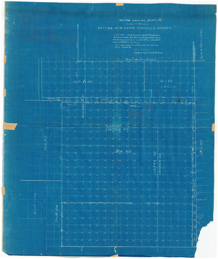
Sketch showing Block R situated in Counties of Castro, Deaf Smith, Randall & Swisher

Print $20.00
- Digital $50.00
Sketch showing Block R situated in Counties of Castro, Deaf Smith, Randall & Swisher
1908
Size 29.0 x 34.4 inches
Map/Doc 90408
Whitehead Second Addition, City of Lubbock


Print $20.00
- Digital $50.00
Whitehead Second Addition, City of Lubbock
1951
Size 14.1 x 24.0 inches
Map/Doc 92778
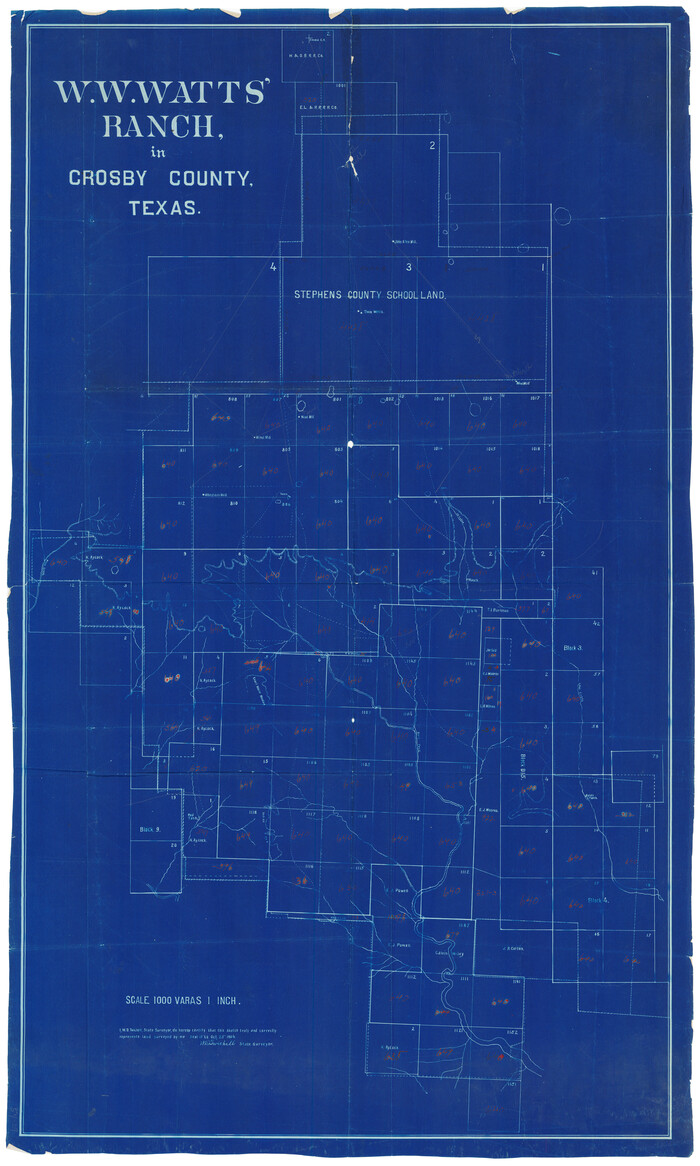
W. W. Watts' Ranch in Crosby County, Texas

Print $20.00
- Digital $50.00
W. W. Watts' Ranch in Crosby County, Texas
1904
Size 17.7 x 28.9 inches
Map/Doc 90485
You may also like
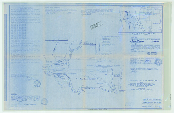
Cameron County State Real Property Sketch 2

Print $20.00
- Digital $50.00
Cameron County State Real Property Sketch 2
1996
Size 25.4 x 39.1 inches
Map/Doc 80132
Working Sketch Bastrop County


Print $20.00
- Digital $50.00
Working Sketch Bastrop County
1923
Size 17.0 x 13.1 inches
Map/Doc 90145
Williamson County Working Sketch 17


Print $20.00
- Digital $50.00
Williamson County Working Sketch 17
1984
Size 32.7 x 24.0 inches
Map/Doc 72577
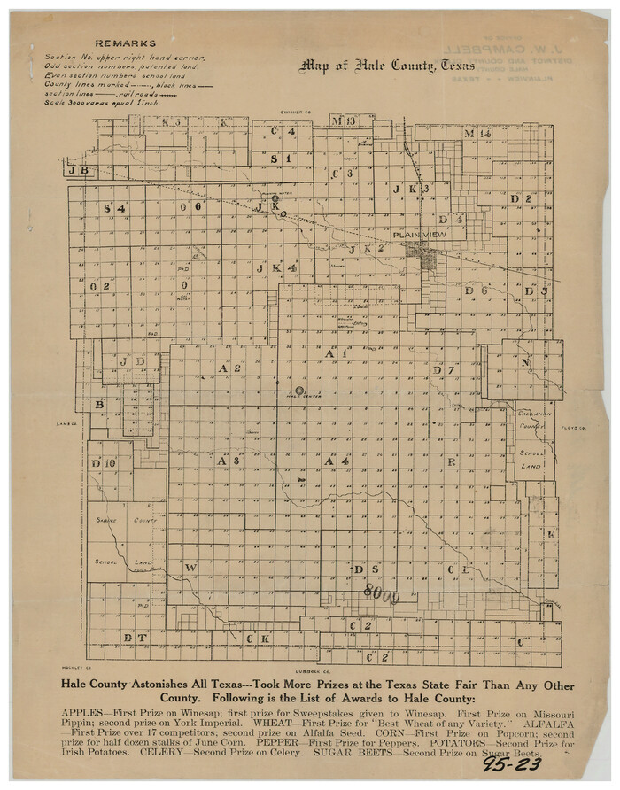
Map of Hale County, Texas

Print $2.00
- Digital $50.00
Map of Hale County, Texas
Size 8.8 x 11.2 inches
Map/Doc 90697
Liberty County Sketch File 17

Print $2.00
- Digital $50.00
Liberty County Sketch File 17
Size 8.2 x 3.2 inches
Map/Doc 29919
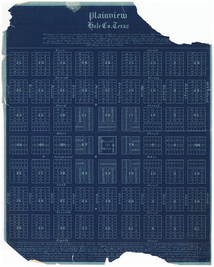
Plainview, Texas

Print $20.00
- Digital $50.00
Plainview, Texas
1905
Size 24.8 x 30.8 inches
Map/Doc 90716
Morris County Rolled Sketch 2A


Print $20.00
- Digital $50.00
Morris County Rolled Sketch 2A
Size 24.3 x 19.1 inches
Map/Doc 10241
Bowie County Sketch File 7


Print $40.00
- Digital $50.00
Bowie County Sketch File 7
1927
Size 18.0 x 35.5 inches
Map/Doc 10943
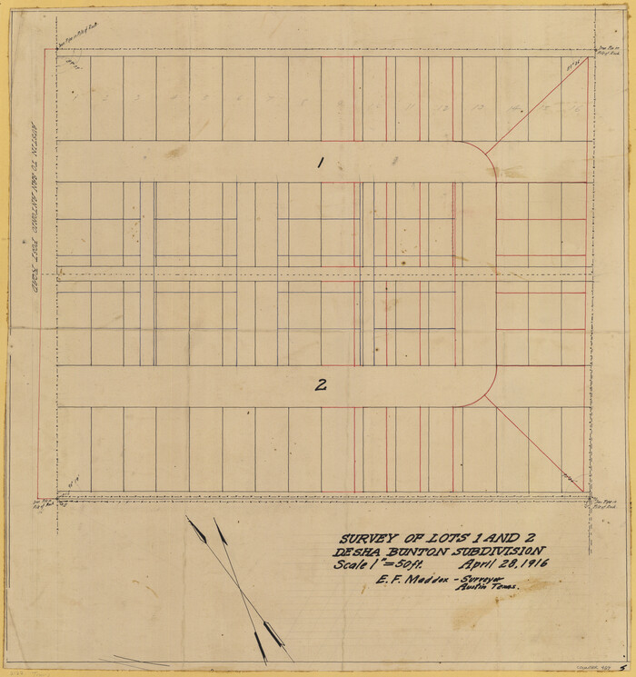
Survey of Lots 1 and 2, Desha Bunton Subdivision

Print $20.00
- Digital $50.00
Survey of Lots 1 and 2, Desha Bunton Subdivision
1916
Size 19.6 x 18.4 inches
Map/Doc 487
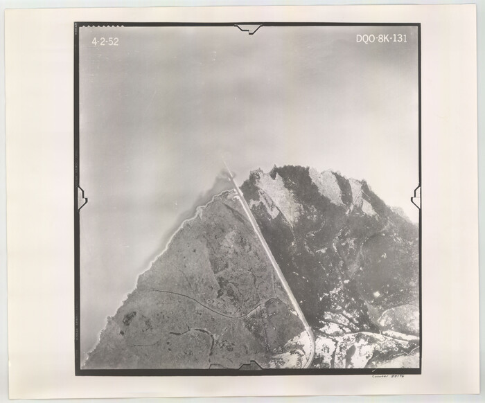
Flight Mission No. DQO-8K, Frame 131, Galveston County

Print $20.00
- Digital $50.00
Flight Mission No. DQO-8K, Frame 131, Galveston County
1952
Size 18.7 x 22.5 inches
Map/Doc 85196
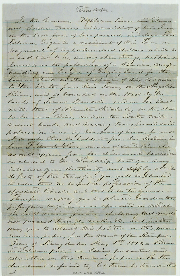
Angelina County Sketch File 15c

Print $16.00
- Digital $50.00
Angelina County Sketch File 15c
1838
Size 12.2 x 8.0 inches
Map/Doc 12972
![91296, [R. T. Bucy's Survey 3, League 321], Twichell Survey Records](https://historictexasmaps.com/wmedia_w1800h1800/maps/91296-1.tif.jpg)
