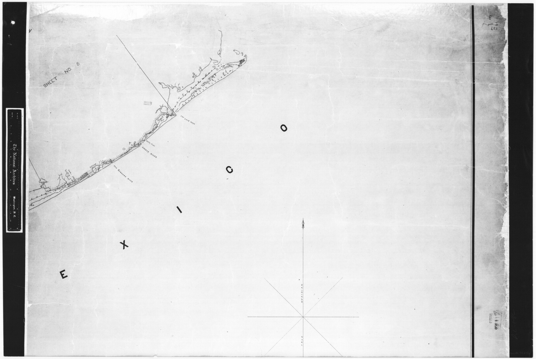
Index sheet to accompany map of survey for connecting the inland waters along margin of the Gulf of Mexico from Donaldsonville in Louisiana to the Rio Grande River in Texas
RL-1-8
-
Map/Doc
72696
-
Collection
General Map Collection
-
Object Dates
1874/8/1 (Creation Date)
-
People and Organizations
H.C. Ripley (Compiler)
J.A. Hayward (Compiler)
J.S. Polhemus (Compiler)
-
Subjects
Gulf of Mexico
-
Height x Width
18.2 x 27.1 inches
46.2 x 68.8 cm
-
Comments
B/W photostat copy from National Archives in multiple pieces.
Part of: General Map Collection
McLennan County Sketch File 19

Print $18.00
- Digital $50.00
McLennan County Sketch File 19
1889
Size 12.8 x 7.9 inches
Map/Doc 31284
Presidio County Rolled Sketch 22

Print $20.00
- Digital $50.00
Presidio County Rolled Sketch 22
1885
Size 37.7 x 28.7 inches
Map/Doc 7331
Duval County Working Sketch 15

Print $20.00
- Digital $50.00
Duval County Working Sketch 15
1938
Size 23.3 x 22.7 inches
Map/Doc 68728
Flight Mission No. CLL-1N, Frame 183, Willacy County

Print $20.00
- Digital $50.00
Flight Mission No. CLL-1N, Frame 183, Willacy County
1954
Size 18.3 x 22.0 inches
Map/Doc 87053
Kaufman County Boundary File 6

Print $14.00
- Digital $50.00
Kaufman County Boundary File 6
Size 11.2 x 8.7 inches
Map/Doc 55956
Galveston County Sketch File 8

Print $4.00
- Digital $50.00
Galveston County Sketch File 8
1862
Size 11.2 x 8.8 inches
Map/Doc 23365
Mapa de la Sierra Gorda y Costa de el Seno Mexicano, desde la Ciudad de Querétaro, que se halla situada cerca de los veinte y un grados, hasta los veinte y ocho y medio en que esta la Bahia de el Espiritu Santo, sus Ríos, Ensenadas, y Fronteras

Mapa de la Sierra Gorda y Costa de el Seno Mexicano, desde la Ciudad de Querétaro, que se halla situada cerca de los veinte y un grados, hasta los veinte y ocho y medio en que esta la Bahia de el Espiritu Santo, sus Ríos, Ensenadas, y Fronteras
1747
Size 31.4 x 24.5 inches
Map/Doc 94267
Baylor County Working Sketch 14

Print $40.00
- Digital $50.00
Baylor County Working Sketch 14
1982
Size 33.5 x 55.1 inches
Map/Doc 67299
Henderson County Boundary File 3c

Print $40.00
- Digital $50.00
Henderson County Boundary File 3c
Size 22.5 x 80.6 inches
Map/Doc 54707
Presidio County

Print $40.00
- Digital $50.00
Presidio County
1875
Size 98.1 x 36.4 inches
Map/Doc 88866
Jeff Davis County Rolled Sketch 8

Print $20.00
- Digital $50.00
Jeff Davis County Rolled Sketch 8
Size 40.0 x 41.6 inches
Map/Doc 9264
Montgomery County Working Sketch 73

Print $20.00
- Digital $50.00
Montgomery County Working Sketch 73
1980
Size 19.5 x 42.9 inches
Map/Doc 71180
You may also like
Kimble County Rolled Sketch 41

Print $40.00
- Digital $50.00
Kimble County Rolled Sketch 41
1994
Size 38.0 x 48.9 inches
Map/Doc 9340

Ward County Rolled Sketch 28

Print $20.00
- Digital $50.00
Ward County Rolled Sketch 28
Size 22.3 x 27.5 inches
Map/Doc 8167
Ochiltree County Boundary File 1

Print $14.00
- Digital $50.00
Ochiltree County Boundary File 1
Size 12.7 x 8.2 inches
Map/Doc 57657
Midland County Boundary File 2

Print $24.00
- Digital $50.00
Midland County Boundary File 2
Size 8.9 x 5.5 inches
Map/Doc 57162
Jackson County Rolled Sketch 3

Print $20.00
- Digital $50.00
Jackson County Rolled Sketch 3
1913
Size 23.9 x 24.2 inches
Map/Doc 6336
Bowie County Working Sketch 28

Print $20.00
- Digital $50.00
Bowie County Working Sketch 28
1988
Size 35.1 x 41.5 inches
Map/Doc 67432
Val Verde County Working Sketch 20

Print $20.00
- Digital $50.00
Val Verde County Working Sketch 20
1929
Size 30.5 x 20.2 inches
Map/Doc 72155
Tarrant County Sketch File 15

Print $4.00
- Digital $50.00
Tarrant County Sketch File 15
1859
Size 13.2 x 8.1 inches
Map/Doc 37708
Sutton County Working Sketch 61

Print $20.00
- Digital $50.00
Sutton County Working Sketch 61
1959
Size 44.1 x 38.6 inches
Map/Doc 62404
Knox County Sketch File 19

Print $42.00
- Digital $50.00
Knox County Sketch File 19
Size 38.4 x 11.0 inches
Map/Doc 11961
Newton County Rolled Sketch 22

Print $20.00
- Digital $50.00
Newton County Rolled Sketch 22
1957
Size 20.8 x 28.7 inches
Map/Doc 6849