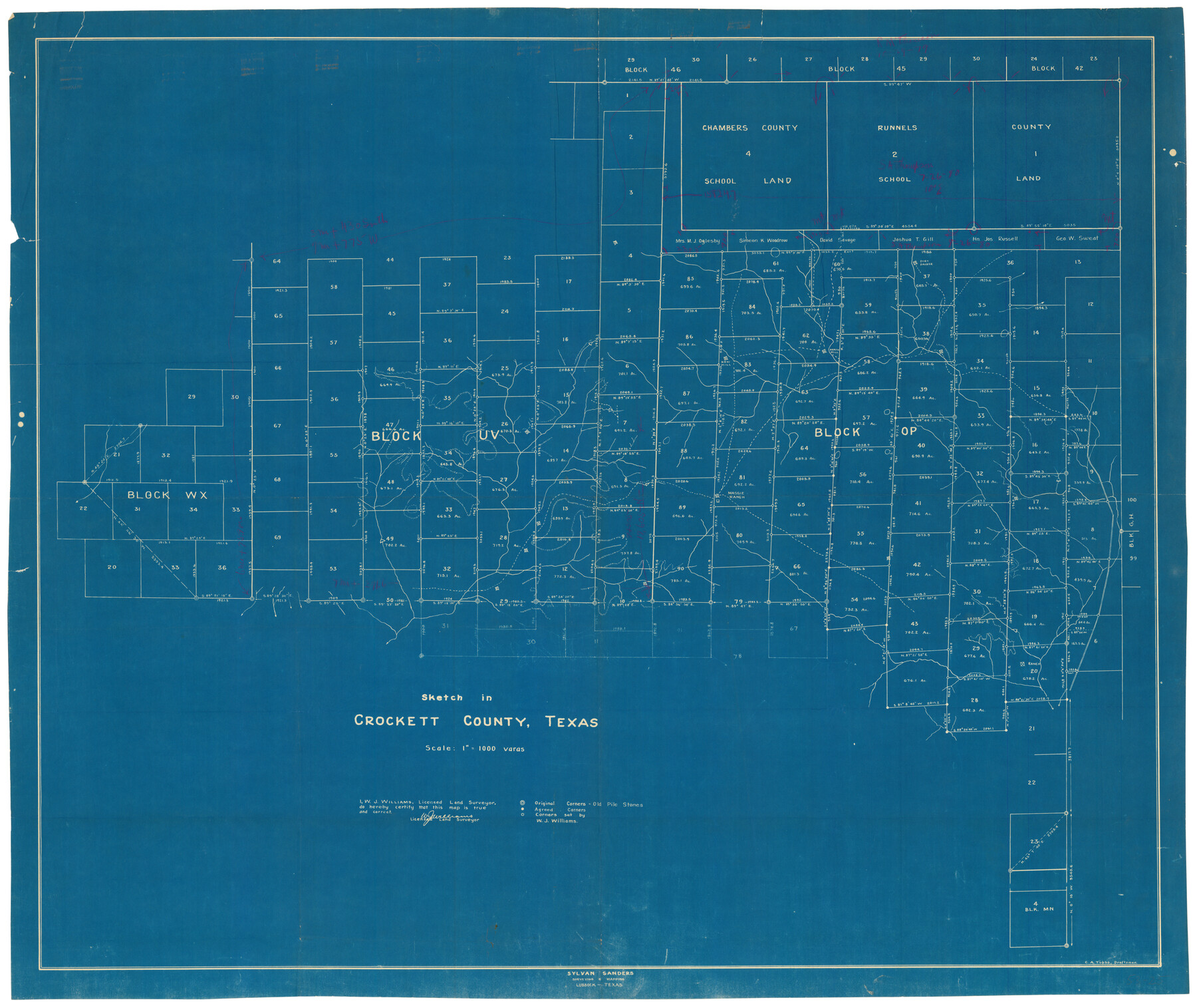
Sketch in Crockett County, Texas
53-25
-
Map/Doc
90474
-
Collection
Twichell Survey Records
-
People and Organizations
C.A. Tubbs (Draftsman)
W.J. Williams (Surveyor/Engineer)
-
Counties
Crockett
-
Height x Width
27.8 x 23.4 inches
70.6 x 59.4 cm
-
Medium
blueprint
-
Scale
1000 varas
Part of: Twichell Survey Records
Capitol Lands Surveyed by J. T. Munson

Print $20.00
- Digital $50.00
Capitol Lands Surveyed by J. T. Munson
Size 15.5 x 16.7 inches
Map/Doc 90524
Lofland Subdivision, 2nd Installment, North Part of NW Quarter Section 72, Block A

Print $20.00
- Digital $50.00
Lofland Subdivision, 2nd Installment, North Part of NW Quarter Section 72, Block A
Size 34.7 x 19.0 inches
Map/Doc 92763
Plat of 83.94 acre vacant tract of land showing connections to adjoining surveys

Print $20.00
- Digital $50.00
Plat of 83.94 acre vacant tract of land showing connections to adjoining surveys
1918
Size 17.7 x 21.1 inches
Map/Doc 90823
[Blocks 5-T, R-2, M-24, and M-23]
![91149, [Blocks 5-T, R-2, M-24, and M-23], Twichell Survey Records](https://historictexasmaps.com/wmedia_w700/maps/91149-1.tif.jpg)
Print $20.00
- Digital $50.00
[Blocks 5-T, R-2, M-24, and M-23]
Size 15.5 x 19.7 inches
Map/Doc 91149
This Map Shows the Surveys 61 to 69 by Dod's Monuments in Accordance with Dod's Course in Stanolind vs. State

Print $2.00
- Digital $50.00
This Map Shows the Surveys 61 to 69 by Dod's Monuments in Accordance with Dod's Course in Stanolind vs. State
Size 15.7 x 9.0 inches
Map/Doc 91687
Working Sketch Cochran and Yoakum Co's.

Print $40.00
- Digital $50.00
Working Sketch Cochran and Yoakum Co's.
1919
Size 54.2 x 14.5 inches
Map/Doc 89678

[T. & P. Block 44, Township 1S]
![90814, [T. & P. Block 44, Township 1S], Twichell Survey Records](https://historictexasmaps.com/wmedia_w700/maps/90814-2.tif.jpg)
Print $20.00
- Digital $50.00
[T. & P. Block 44, Township 1S]
Size 10.4 x 23.2 inches
Map/Doc 90814
Sketch Showing Construction of Block B7 and Bravo Fence, Oldham County

Print $20.00
- Digital $50.00
Sketch Showing Construction of Block B7 and Bravo Fence, Oldham County
Size 37.8 x 24.9 inches
Map/Doc 91485
Jim Nix Farm NW 1/4 Section 40, Block 1 Halsell Subdivision

Print $20.00
- Digital $50.00
Jim Nix Farm NW 1/4 Section 40, Block 1 Halsell Subdivision
Size 12.1 x 13.9 inches
Map/Doc 92400
[Mary Fury and B. H. Epperson surveys]
![93068, [Mary Fury and B. H. Epperson surveys], Twichell Survey Records](https://historictexasmaps.com/wmedia_w700/maps/93068-1.tif.jpg)
Print $3.00
- Digital $50.00
[Mary Fury and B. H. Epperson surveys]
Size 10.8 x 15.7 inches
Map/Doc 93068
Oldham County

Print $20.00
- Digital $50.00
Oldham County
1888
Size 19.6 x 16.5 inches
Map/Doc 93018
You may also like
The Judicial District/County of Pashcal. June 24, 1841

Print $20.00
The Judicial District/County of Pashcal. June 24, 1841
2020
Size 15.0 x 21.7 inches
Map/Doc 96344
Flight Mission No. DQO-3K, Frame 30, Galveston County

Print $20.00
- Digital $50.00
Flight Mission No. DQO-3K, Frame 30, Galveston County
1952
Size 18.9 x 22.4 inches
Map/Doc 85071
[T. & P. RR. Co. Blocks 54, 55 and 76, Townships 1 and 2]
![89888, [T. & P. RR. Co. Blocks 54, 55 and 76, Townships 1 and 2], Twichell Survey Records](https://historictexasmaps.com/wmedia_w700/maps/89888-1.tif.jpg)
Print $20.00
- Digital $50.00
[T. & P. RR. Co. Blocks 54, 55 and 76, Townships 1 and 2]
Size 44.2 x 36.2 inches
Map/Doc 89888
Galveston County Sketch File 31

Print $20.00
- Digital $50.00
Galveston County Sketch File 31
1916
Size 23.7 x 13.6 inches
Map/Doc 11534
Wood County Working Sketch 15

Print $20.00
- Digital $50.00
Wood County Working Sketch 15
1981
Size 25.7 x 31.7 inches
Map/Doc 62015
Reeves County Working Sketch 16

Print $40.00
- Digital $50.00
Reeves County Working Sketch 16
1961
Size 30.8 x 48.8 inches
Map/Doc 63459
Childress County Rolled Sketch 16B

Print $40.00
- Digital $50.00
Childress County Rolled Sketch 16B
Size 26.3 x 78.1 inches
Map/Doc 8600
Hardin County Sketch File 69

Print $20.00
- Digital $50.00
Hardin County Sketch File 69
1944
Size 25.1 x 22.0 inches
Map/Doc 11641
Wichita County Sketch File 5

Print $14.00
- Digital $50.00
Wichita County Sketch File 5
Size 8.2 x 14.5 inches
Map/Doc 40038
A Part of Blocks 31 and 32 Township 5 North

Print $20.00
- Digital $50.00
A Part of Blocks 31 and 32 Township 5 North
Size 19.6 x 23.8 inches
Map/Doc 92458
South Sulphur River, Harpers Crossing Sheet

Print $20.00
- Digital $50.00
South Sulphur River, Harpers Crossing Sheet
1925
Size 23.3 x 18.0 inches
Map/Doc 78328
General Highway Map, Cooke County, Texas

Print $20.00
General Highway Map, Cooke County, Texas
1940
Size 25.2 x 18.3 inches
Map/Doc 79058