[Blocks 5-T, R-2, M-24, and M-23]
117-31
-
Map/Doc
91149
-
Collection
Twichell Survey Records
-
People and Organizations
W.D. Twichell (Surveyor/Engineer)
-
Counties
Hutchinson
-
Height x Width
15.5 x 19.7 inches
39.4 x 50.0 cm
Part of: Twichell Survey Records
[H. & G. N. RR. Co. Block 1]
![90889, [H. & G. N. RR. Co. Block 1], Twichell Survey Records](https://historictexasmaps.com/wmedia_w700/maps/90889-1.tif.jpg)
![90889, [H. & G. N. RR. Co. Block 1], Twichell Survey Records](https://historictexasmaps.com/wmedia_w700/maps/90889-1.tif.jpg)
Print $20.00
- Digital $50.00
[H. & G. N. RR. Co. Block 1]
Size 16.5 x 27.9 inches
Map/Doc 90889
Public School Land Leagues 1 through 63]
![92487, Public School Land Leagues 1 through 63], Twichell Survey Records](https://historictexasmaps.com/wmedia_w700/maps/92487-1.tif.jpg)
![92487, Public School Land Leagues 1 through 63], Twichell Survey Records](https://historictexasmaps.com/wmedia_w700/maps/92487-1.tif.jpg)
Print $20.00
- Digital $50.00
Public School Land Leagues 1 through 63]
Size 23.9 x 16.8 inches
Map/Doc 92487
Terry County School Land, Gaines County, Texas


Print $20.00
- Digital $50.00
Terry County School Land, Gaines County, Texas
Size 15.6 x 24.7 inches
Map/Doc 92678
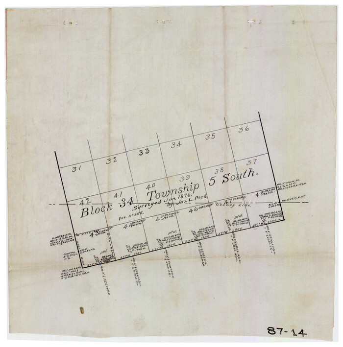
Block 34, Township 5 South

Print $3.00
- Digital $50.00
Block 34, Township 5 South
1876
Size 9.6 x 9.6 inches
Map/Doc 90752
[Blocks GP and T]
![91509, [Blocks GP and T], Twichell Survey Records](https://historictexasmaps.com/wmedia_w700/maps/91509-1.tif.jpg)
![91509, [Blocks GP and T], Twichell Survey Records](https://historictexasmaps.com/wmedia_w700/maps/91509-1.tif.jpg)
Print $20.00
- Digital $50.00
[Blocks GP and T]
Size 26.0 x 24.6 inches
Map/Doc 91509
[Eastern part of Culberson County]
![90505, [Eastern part of Culberson County], Twichell Survey Records](https://historictexasmaps.com/wmedia_w700/maps/90505-1.tif.jpg)
![90505, [Eastern part of Culberson County], Twichell Survey Records](https://historictexasmaps.com/wmedia_w700/maps/90505-1.tif.jpg)
Print $20.00
- Digital $50.00
[Eastern part of Culberson County]
Size 29.0 x 40.5 inches
Map/Doc 90505
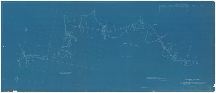
Right-of-way & Track Map Dawson Railway Operated by the El Paso & Southwestern Company Station 1021+79.7 to Station 1233+41.7

Print $40.00
- Digital $50.00
Right-of-way & Track Map Dawson Railway Operated by the El Paso & Southwestern Company Station 1021+79.7 to Station 1233+41.7
1910
Size 57.0 x 25.1 inches
Map/Doc 89661
[John H. Stephens Blk. S-2, Capitol Lgs. to North and County School to the South]
![90241, [John H. Stephens Blk. S-2, Capitol Lgs. to North and County School to the South], Twichell Survey Records](https://historictexasmaps.com/wmedia_w700/maps/90241-1.tif.jpg)
![90241, [John H. Stephens Blk. S-2, Capitol Lgs. to North and County School to the South], Twichell Survey Records](https://historictexasmaps.com/wmedia_w700/maps/90241-1.tif.jpg)
Print $20.00
- Digital $50.00
[John H. Stephens Blk. S-2, Capitol Lgs. to North and County School to the South]
1903
Size 20.7 x 18.3 inches
Map/Doc 90241
Ownership Map Lamb County


Print $20.00
- Digital $50.00
Ownership Map Lamb County
1934
Size 37.6 x 45.0 inches
Map/Doc 89847
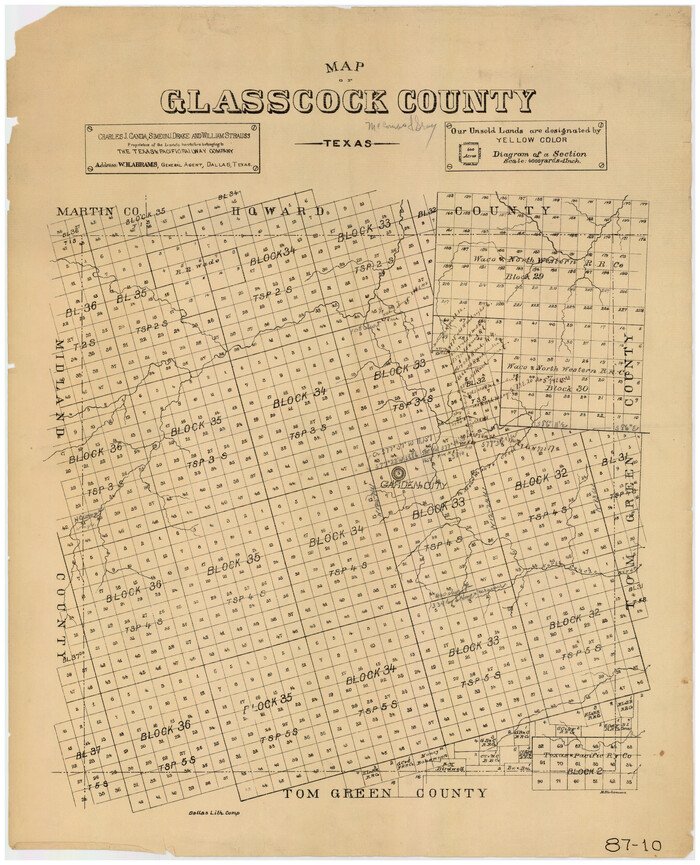
Map of Glasscock County

Print $20.00
- Digital $50.00
Map of Glasscock County
Size 19.1 x 23.1 inches
Map/Doc 90781
[T. & N. O. RR. Co and H. & T. C. RR. Co. Blocks]
![90430, [T. & N. O. RR. Co and H. & T. C. RR. Co. Blocks], Twichell Survey Records](https://historictexasmaps.com/wmedia_w700/maps/90430-1.tif.jpg)
![90430, [T. & N. O. RR. Co and H. & T. C. RR. Co. Blocks], Twichell Survey Records](https://historictexasmaps.com/wmedia_w700/maps/90430-1.tif.jpg)
Print $2.00
- Digital $50.00
[T. & N. O. RR. Co and H. & T. C. RR. Co. Blocks]
1924
Size 8.3 x 8.2 inches
Map/Doc 90430
You may also like
Cherokee County Working Sketch 6


Print $20.00
- Digital $50.00
Cherokee County Working Sketch 6
1953
Size 40.9 x 35.1 inches
Map/Doc 67961
[Surveys on Cibolo Creek]
![363, [Surveys on Cibolo Creek], General Map Collection](https://historictexasmaps.com/wmedia_w700/maps/363.tif.jpg)
![363, [Surveys on Cibolo Creek], General Map Collection](https://historictexasmaps.com/wmedia_w700/maps/363.tif.jpg)
Print $2.00
- Digital $50.00
[Surveys on Cibolo Creek]
Size 7.4 x 6.7 inches
Map/Doc 363
Wood County Sketch File 8


Print $6.00
- Digital $50.00
Wood County Sketch File 8
1850
Size 12.5 x 8.3 inches
Map/Doc 40653
Rains County Sketch File 2


Print $4.00
- Digital $50.00
Rains County Sketch File 2
Size 10.1 x 7.4 inches
Map/Doc 34945
San Luis Pass to East Matagorda Bay


Print $20.00
- Digital $50.00
San Luis Pass to East Matagorda Bay
1976
Size 35.1 x 46.7 inches
Map/Doc 69969
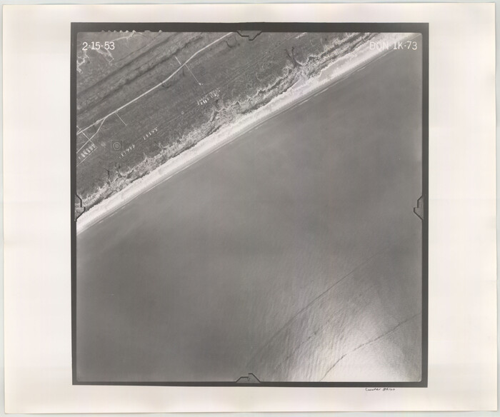
Flight Mission No. DQN-1K, Frame 73, Calhoun County

Print $20.00
- Digital $50.00
Flight Mission No. DQN-1K, Frame 73, Calhoun County
1953
Size 18.5 x 22.2 inches
Map/Doc 84160
Ile de la Réunion, Colonie Française (Océan indien)


Print $20.00
- Digital $50.00
Ile de la Réunion, Colonie Française (Océan indien)
Size 14.5 x 20.5 inches
Map/Doc 94451
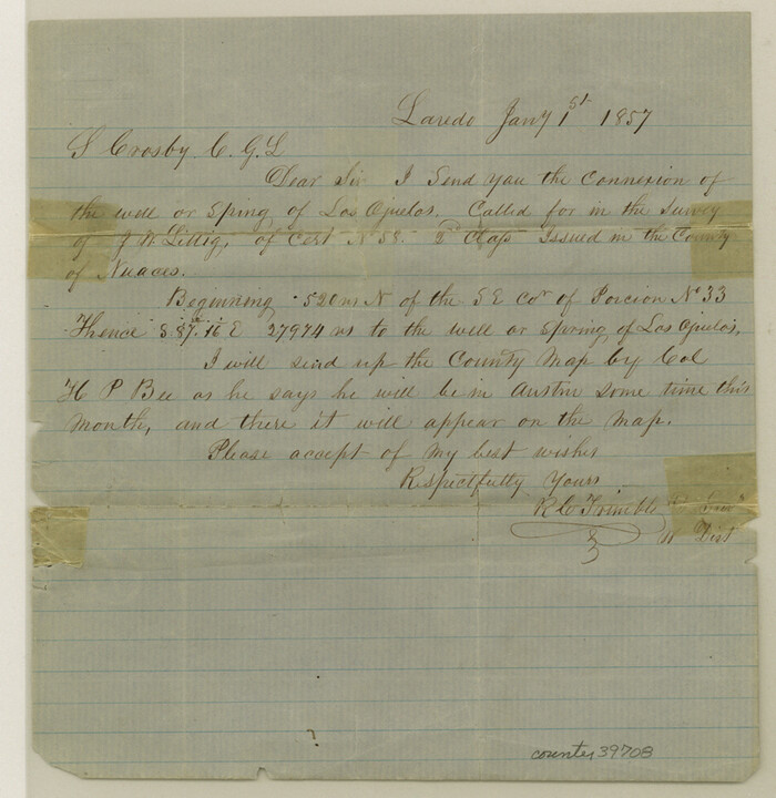
Webb County Sketch File 1-1

Print $4.00
- Digital $50.00
Webb County Sketch File 1-1
1857
Size 8.6 x 8.4 inches
Map/Doc 39708
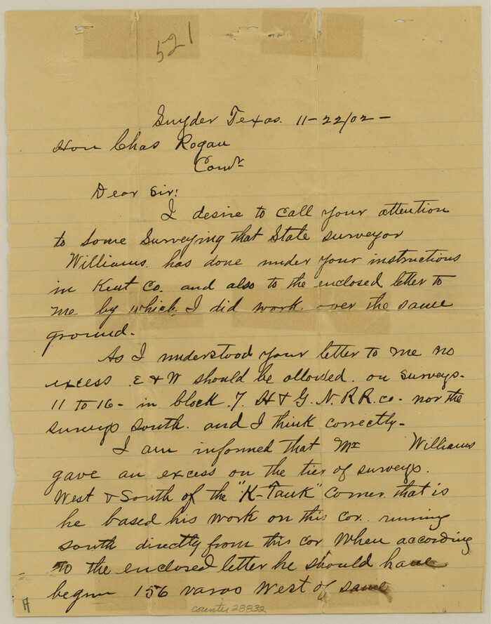
Kent County Sketch File 9

Print $8.00
- Digital $50.00
Kent County Sketch File 9
Size 10.3 x 8.1 inches
Map/Doc 28832
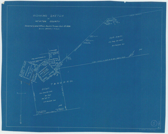
Newton County Working Sketch 5

Print $20.00
- Digital $50.00
Newton County Working Sketch 5
1926
Size 16.0 x 20.0 inches
Map/Doc 71251
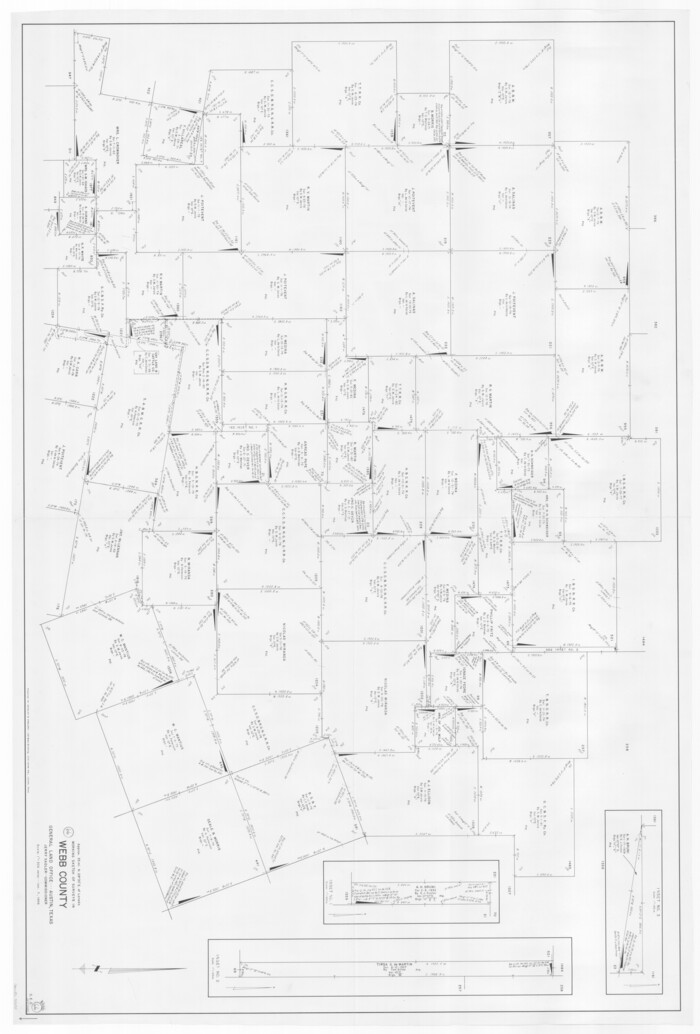
Webb County Working Sketch 66

Print $40.00
- Digital $50.00
Webb County Working Sketch 66
1966
Size 62.8 x 42.5 inches
Map/Doc 72433
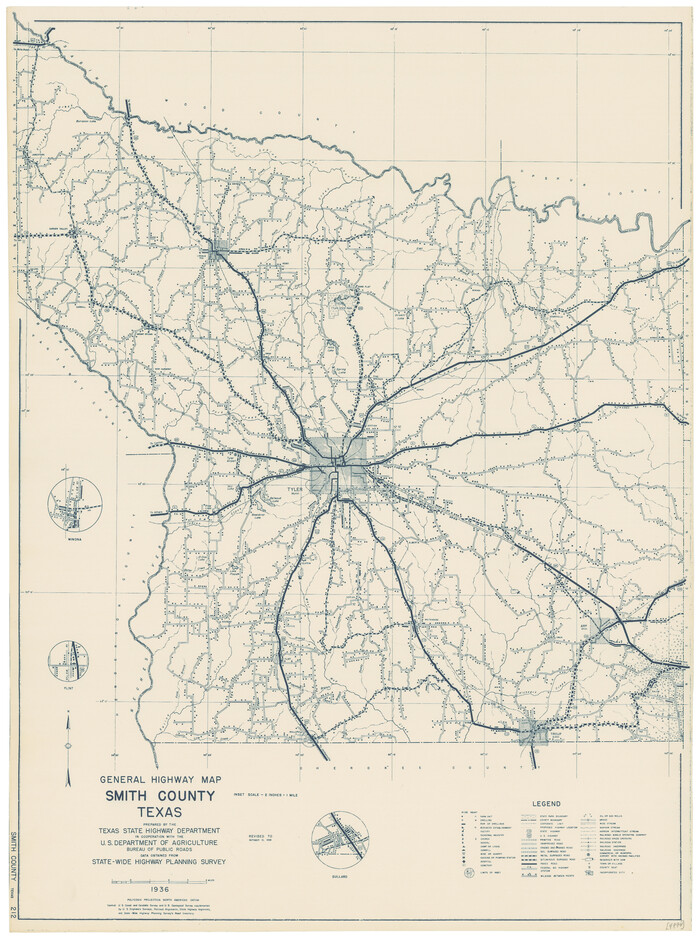
General Highway Map, Smith County, Texas

Print $20.00
General Highway Map, Smith County, Texas
1939
Size 24.9 x 18.4 inches
Map/Doc 79244
![91149, [Blocks 5-T, R-2, M-24, and M-23], Twichell Survey Records](https://historictexasmaps.com/wmedia_w1800h1800/maps/91149-1.tif.jpg)
