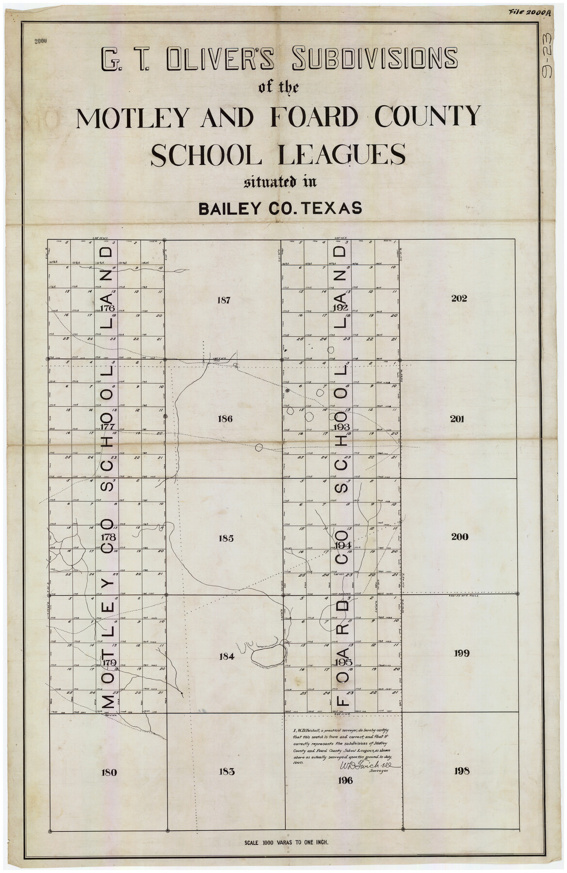
G. T. Oliver's Subdivisions of the Motley and Foard County School Leagues situated in Bailey Co., Texas
9-23
-
Map/Doc
90181
-
Collection
Twichell Survey Records
-
Object Dates
7/1909 (Creation Date)
-
People and Organizations
W.D. Twichell (Surveyor/Engineer)
-
Counties
Bailey
-
Height x Width
24.5 x 37.3 inches
62.2 x 94.7 cm
Part of: Twichell Survey Records
[Sketch of Norwood's Homestead]
![89646, [Sketch of Norwood's Homestead], Twichell Survey Records](https://historictexasmaps.com/wmedia_w700/maps/89646-1.tif.jpg)
Print $40.00
- Digital $50.00
[Sketch of Norwood's Homestead]
Size 31.8 x 49.7 inches
Map/Doc 89646
The American Tribune New Colony Company's Lands in Archer County, Texas

Print $20.00
- Digital $50.00
The American Tribune New Colony Company's Lands in Archer County, Texas
Size 42.9 x 37.5 inches
Map/Doc 89742
[Northeast 1/4 of County]
![91629, [Northeast 1/4 of County], Twichell Survey Records](https://historictexasmaps.com/wmedia_w700/maps/91629-1.tif.jpg)
Print $2.00
- Digital $50.00
[Northeast 1/4 of County]
Size 12.3 x 9.0 inches
Map/Doc 91629
Littlefield, being a part of League 664, Lamb County, Texas

Print $20.00
- Digital $50.00
Littlefield, being a part of League 664, Lamb County, Texas
1912
Size 30.5 x 16.9 inches
Map/Doc 92150
[Blocks E, Y, C42, 4X, T Showing Portion of Terry-Lynn County Line]
![92276, [Blocks E, Y, C42, 4X, T Showing Portion of Terry-Lynn County Line], Twichell Survey Records](https://historictexasmaps.com/wmedia_w700/maps/92276-1.tif.jpg)
Print $20.00
- Digital $50.00
[Blocks E, Y, C42, 4X, T Showing Portion of Terry-Lynn County Line]
Size 22.9 x 8.3 inches
Map/Doc 92276
[Leagues 682, 683, 696, 697]
![92230, [Leagues 682, 683, 696, 697], Twichell Survey Records](https://historictexasmaps.com/wmedia_w700/maps/92230-1.tif.jpg)
Print $20.00
- Digital $50.00
[Leagues 682, 683, 696, 697]
Size 19.8 x 20.0 inches
Map/Doc 92230
North Half of Val Verde Co., Tex.

Print $40.00
- Digital $50.00
North Half of Val Verde Co., Tex.
1948
Size 66.0 x 43.1 inches
Map/Doc 89809
[Sketch of area just south of Levi Pruitt survey]
![91854, [Sketch of area just south of Levi Pruitt survey], Twichell Survey Records](https://historictexasmaps.com/wmedia_w700/maps/91854-1.tif.jpg)
Print $20.00
- Digital $50.00
[Sketch of area just south of Levi Pruitt survey]
Size 24.9 x 18.6 inches
Map/Doc 91854
Right-of-way & Track Map Dawson Railway Operated by the El Paso & Southwestern Company Station 1021+79.7 to Station 1233+41.7

Print $40.00
- Digital $50.00
Right-of-way & Track Map Dawson Railway Operated by the El Paso & Southwestern Company Station 1021+79.7 to Station 1233+41.7
1910
Size 57.0 x 25.1 inches
Map/Doc 89661
[Texas State Capitol Land]
![89940, [Texas State Capitol Land], Twichell Survey Records](https://historictexasmaps.com/wmedia_w700/maps/89940-1.tif.jpg)
Print $40.00
- Digital $50.00
[Texas State Capitol Land]
Size 37.6 x 72.6 inches
Map/Doc 89940
This Map Shows the Surveys 61 to 69 by Dod's Monuments in Accordance with Dod's Course in Stanolind vs. State

Print $20.00
- Digital $50.00
This Map Shows the Surveys 61 to 69 by Dod's Monuments in Accordance with Dod's Course in Stanolind vs. State
Size 17.6 x 12.5 inches
Map/Doc 91688
[West Half of the State of Kansas]
![93159, [West Half of the State of Kansas], Twichell Survey Records](https://historictexasmaps.com/wmedia_w700/maps/93159-1.tif.jpg)
Print $40.00
- Digital $50.00
[West Half of the State of Kansas]
Size 60.8 x 54.0 inches
Map/Doc 93159
You may also like
Map of a part of Laguna Madre showing subdivision for mineral development

Print $20.00
- Digital $50.00
Map of a part of Laguna Madre showing subdivision for mineral development
1948
Size 37.4 x 27.7 inches
Map/Doc 2914
Coryell County Working Sketch 11

Print $20.00
- Digital $50.00
Coryell County Working Sketch 11
1949
Size 29.7 x 27.5 inches
Map/Doc 68218

Montague County Working Sketch 3

Print $20.00
- Digital $50.00
Montague County Working Sketch 3
1912
Size 20.5 x 15.4 inches
Map/Doc 71069
Sutton County Sketch File 43

Print $20.00
- Digital $50.00
Sutton County Sketch File 43
Size 29.1 x 12.4 inches
Map/Doc 12391
[Sketch of Randall County]
![91757, [Sketch of Randall County], Twichell Survey Records](https://historictexasmaps.com/wmedia_w700/maps/91757-1.tif.jpg)
Print $20.00
- Digital $50.00
[Sketch of Randall County]
Size 21.4 x 18.5 inches
Map/Doc 91757
Coke County Rolled Sketch 1

Print $20.00
- Digital $50.00
Coke County Rolled Sketch 1
1943
Size 26.9 x 21.6 inches
Map/Doc 5503
Plan B, Part 3rd Shewing that portion of the boundary between Texas and the United States, included between Logan's Ferry on the River Sabine and the intersection of the 32nd degree of N. Latitude with the western bank of the said river

Print $20.00
- Digital $50.00
Plan B, Part 3rd Shewing that portion of the boundary between Texas and the United States, included between Logan's Ferry on the River Sabine and the intersection of the 32nd degree of N. Latitude with the western bank of the said river
1842
Size 19.4 x 27.2 inches
Map/Doc 65411
Gray County Boundary File 6

Print $6.00
- Digital $50.00
Gray County Boundary File 6
Size 10.9 x 7.3 inches
Map/Doc 53895
Interpretative map of wind erodibility. Gaines County, Texas

Interpretative map of wind erodibility. Gaines County, Texas
1986
Size 27.6 x 36.2 inches
Map/Doc 93561
Williamson County Working Sketch Graphic Index

Print $40.00
- Digital $50.00
Williamson County Working Sketch Graphic Index
1946
Size 38.4 x 55.7 inches
Map/Doc 76742
Coke County Rolled Sketch 5

Print $20.00
- Digital $50.00
Coke County Rolled Sketch 5
1948
Size 25.5 x 23.6 inches
Map/Doc 5505