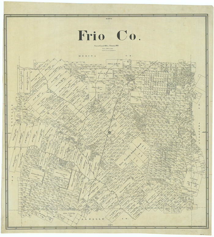
[Northeast 1/4 of County]
186-79
-
Map/Doc
91629
-
Collection
Twichell Survey Records
-
Counties
Pecos
-
Height x Width
12.3 x 9.0 inches
31.2 x 22.9 cm
Part of: Twichell Survey Records
[Blocks 47, Z, XO2, M18, M23, M25, and H]
![91186, [Blocks 47, Z, XO2, M18, M23, M25, and H], Twichell Survey Records](https://historictexasmaps.com/wmedia_w700/maps/91186-1.tif.jpg)
![91186, [Blocks 47, Z, XO2, M18, M23, M25, and H], Twichell Survey Records](https://historictexasmaps.com/wmedia_w700/maps/91186-1.tif.jpg)
Print $20.00
- Digital $50.00
[Blocks 47, Z, XO2, M18, M23, M25, and H]
Size 30.1 x 23.5 inches
Map/Doc 91186
Sudan Cemetery Sudan, Texas


Print $20.00
- Digital $50.00
Sudan Cemetery Sudan, Texas
1925
Size 24.1 x 28.2 inches
Map/Doc 92403
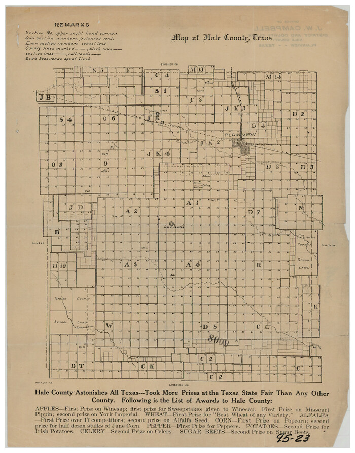
Map of Hale County, Texas

Print $2.00
- Digital $50.00
Map of Hale County, Texas
Size 8.8 x 11.2 inches
Map/Doc 90697
[T. T. RR. Co. Block 8 and vicinity]
![90875, [T. T. RR. Co. Block 8 and vicinity], Twichell Survey Records](https://historictexasmaps.com/wmedia_w700/maps/90875-2.tif.jpg)
![90875, [T. T. RR. Co. Block 8 and vicinity], Twichell Survey Records](https://historictexasmaps.com/wmedia_w700/maps/90875-2.tif.jpg)
Print $20.00
- Digital $50.00
[T. T. RR. Co. Block 8 and vicinity]
Size 25.3 x 39.0 inches
Map/Doc 90875
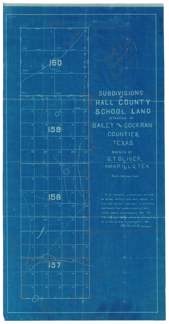
Subdivisions of Hall County School Land situated in Bailey and Cockran (sic) Counties, Texas owned by G. T. Oliver, Amarillo, Tex.

Print $2.00
- Digital $50.00
Subdivisions of Hall County School Land situated in Bailey and Cockran (sic) Counties, Texas owned by G. T. Oliver, Amarillo, Tex.
1907
Size 8.3 x 15.8 inches
Map/Doc 90442
[Subdivision Plat of 80 acres]
![93075, [Subdivision Plat of 80 acres], Twichell Survey Records](https://historictexasmaps.com/wmedia_w700/maps/93075-1.tif.jpg)
![93075, [Subdivision Plat of 80 acres], Twichell Survey Records](https://historictexasmaps.com/wmedia_w700/maps/93075-1.tif.jpg)
Print $2.00
- Digital $50.00
[Subdivision Plat of 80 acres]
Size 11.7 x 6.2 inches
Map/Doc 93075
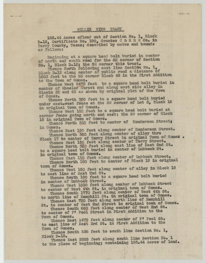
Willie Winn Tract

Print $2.00
- Digital $50.00
Willie Winn Tract
1903
Size 5.9 x 7.6 inches
Map/Doc 92285
University of Texas System University Lands


Print $20.00
- Digital $50.00
University of Texas System University Lands
1936
Size 23.2 x 17.6 inches
Map/Doc 93236
[Leagues 656-666, 671-676, 684-688, 692-695]
![91007, [Leagues 656-666, 671-676, 684-688, 692-695], Twichell Survey Records](https://historictexasmaps.com/wmedia_w700/maps/91007-1.tif.jpg)
![91007, [Leagues 656-666, 671-676, 684-688, 692-695], Twichell Survey Records](https://historictexasmaps.com/wmedia_w700/maps/91007-1.tif.jpg)
Print $20.00
- Digital $50.00
[Leagues 656-666, 671-676, 684-688, 692-695]
Size 30.6 x 20.7 inches
Map/Doc 91007
[Sections 69-84 Block 47 and part of Block 3]
![91795, [Sections 69-84 Block 47 and part of Block 3], Twichell Survey Records](https://historictexasmaps.com/wmedia_w700/maps/91795-1.tif.jpg)
![91795, [Sections 69-84 Block 47 and part of Block 3], Twichell Survey Records](https://historictexasmaps.com/wmedia_w700/maps/91795-1.tif.jpg)
Print $2.00
- Digital $50.00
[Sections 69-84 Block 47 and part of Block 3]
Size 14.3 x 8.9 inches
Map/Doc 91795
[Brooks & Burleson Block 1]
![90514, [Brooks & Burleson Block 1], Twichell Survey Records](https://historictexasmaps.com/wmedia_w700/maps/90514-1.tif.jpg)
![90514, [Brooks & Burleson Block 1], Twichell Survey Records](https://historictexasmaps.com/wmedia_w700/maps/90514-1.tif.jpg)
Print $2.00
- Digital $50.00
[Brooks & Burleson Block 1]
1906
Size 9.2 x 11.1 inches
Map/Doc 90514
[Sketch of surveys north of Jefferson County School Land]
![91890, [Sketch of surveys north of Jefferson County School Land], Twichell Survey Records](https://historictexasmaps.com/wmedia_w700/maps/91890-1.tif.jpg)
![91890, [Sketch of surveys north of Jefferson County School Land], Twichell Survey Records](https://historictexasmaps.com/wmedia_w700/maps/91890-1.tif.jpg)
Print $3.00
- Digital $50.00
[Sketch of surveys north of Jefferson County School Land]
1891
Size 10.3 x 11.2 inches
Map/Doc 91890
You may also like
Denton County Sketch File 4


Print $6.00
- Digital $50.00
Denton County Sketch File 4
1858
Size 12.2 x 7.9 inches
Map/Doc 20690
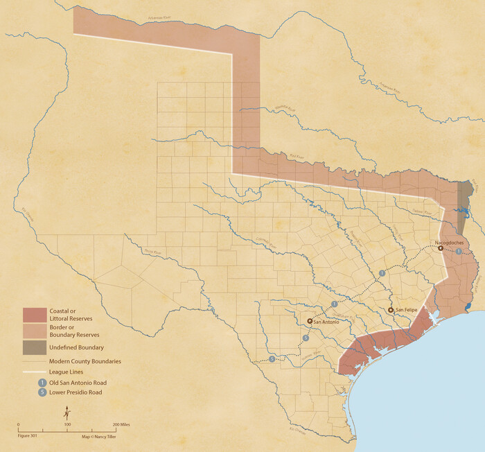
The Coastal and Border League Lines

Print $20.00
The Coastal and Border League Lines
2020
Size 20.2 x 21.6 inches
Map/Doc 95977
Kleberg County Rolled Sketch 5A


Print $20.00
- Digital $50.00
Kleberg County Rolled Sketch 5A
Size 31.0 x 25.1 inches
Map/Doc 6549
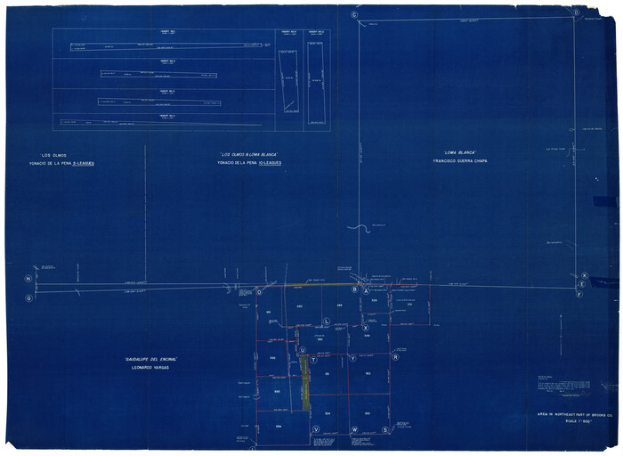
Brooks County Rolled Sketch 19

Print $84.00
- Digital $50.00
Brooks County Rolled Sketch 19
Size 43.3 x 59.2 inches
Map/Doc 8533
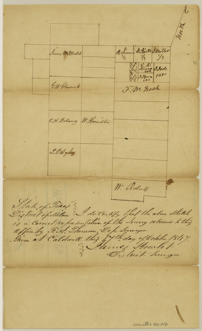
Williamson County Sketch File 7

Print $4.00
- Digital $50.00
Williamson County Sketch File 7
1847
Size 12.7 x 7.7 inches
Map/Doc 40316
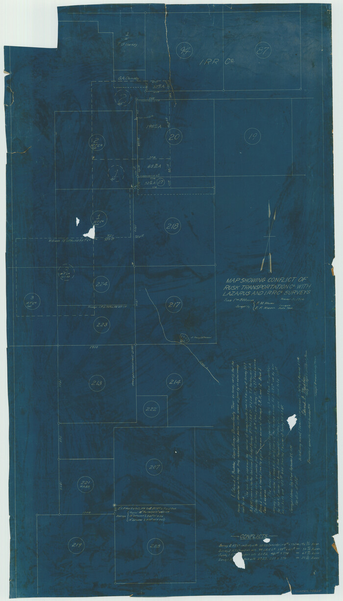
Map showing conflict of Rusk Transportation Co. with Lazarus and I. R.R. Co. Surveys

Print $20.00
- Digital $50.00
Map showing conflict of Rusk Transportation Co. with Lazarus and I. R.R. Co. Surveys
1914
Size 28.9 x 16.6 inches
Map/Doc 75825
Bailey County Rolled Sketch 6


Print $20.00
- Digital $50.00
Bailey County Rolled Sketch 6
Size 17.4 x 12.9 inches
Map/Doc 5111
Rains County Working Sketch 10
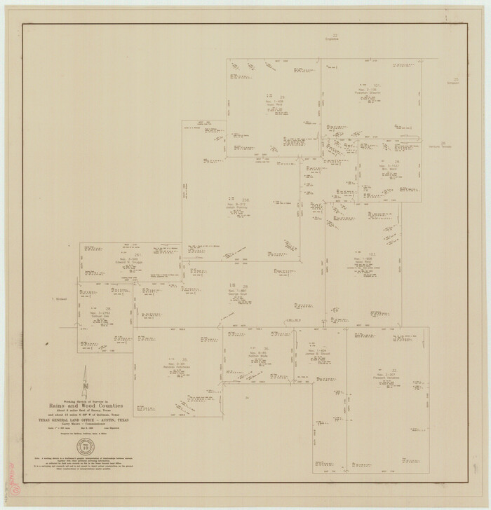

Print $20.00
- Digital $50.00
Rains County Working Sketch 10
1998
Size 36.1 x 34.7 inches
Map/Doc 71836
Webb County Working Sketch 19
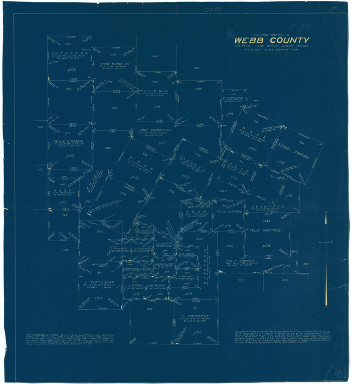

Print $20.00
- Digital $50.00
Webb County Working Sketch 19
1925
Size 32.6 x 29.8 inches
Map/Doc 72384
Milam County Sketch File 4
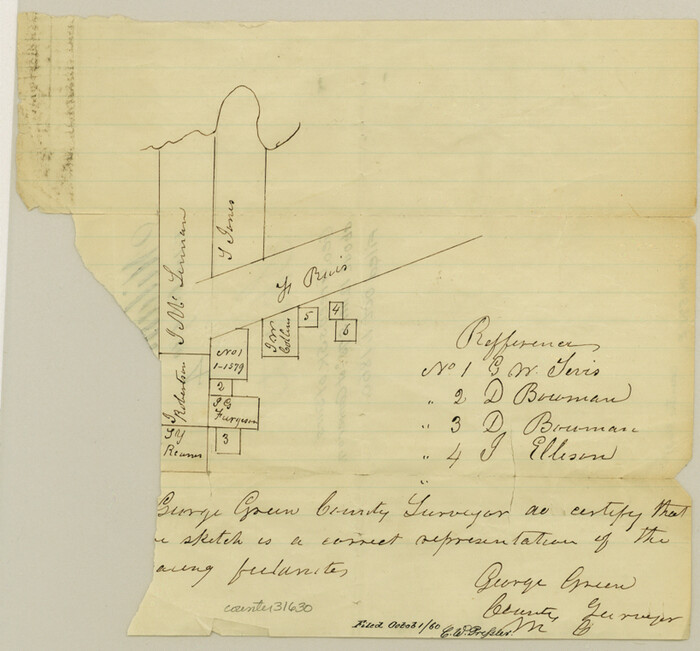

Print $4.00
- Digital $50.00
Milam County Sketch File 4
Size 7.6 x 8.2 inches
Map/Doc 31630
Flight Mission No. CLL-1N, Frame 157, Willacy County
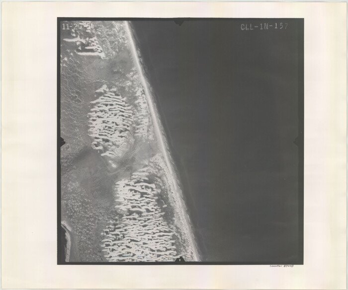

Print $20.00
- Digital $50.00
Flight Mission No. CLL-1N, Frame 157, Willacy County
1954
Size 18.3 x 22.0 inches
Map/Doc 87048
![91629, [Northeast 1/4 of County], Twichell Survey Records](https://historictexasmaps.com/wmedia_w1800h1800/maps/91629-1.tif.jpg)
