[Sketch of Randall County]
191-3
-
Map/Doc
91757
-
Collection
Twichell Survey Records
-
People and Organizations
Geo. D. Barnard and Co. (Printer)
W.D. Twichell (Draftsman)
W.D. Twichell (Surveyor/Engineer)
-
Counties
Randall
-
Height x Width
21.4 x 18.5 inches
54.4 x 47.0 cm
Part of: Twichell Survey Records
[Floyd County School Land Lgs. 180-183, Fisher County School Land Lgs. 105-108, and part of Blk. V]
![90193, [Floyd County Schoo Land Lgs. 180-183, Fisher County School Land Lgs. 105-108, and part of Blk. V], Twichell Survey Records](https://historictexasmaps.com/wmedia_w700/maps/90193-1.tif.jpg)
![90193, [Floyd County Schoo Land Lgs. 180-183, Fisher County School Land Lgs. 105-108, and part of Blk. V], Twichell Survey Records](https://historictexasmaps.com/wmedia_w700/maps/90193-1.tif.jpg)
Print $2.00
- Digital $50.00
[Floyd County School Land Lgs. 180-183, Fisher County School Land Lgs. 105-108, and part of Blk. V]
Size 8.7 x 10.2 inches
Map/Doc 90193
[Oil and Gas Fields in West Texas]
![89884, [Oil and Gas Fields in West Texas], Twichell Survey Records](https://historictexasmaps.com/wmedia_w700/maps/89884-1.tif.jpg)
![89884, [Oil and Gas Fields in West Texas], Twichell Survey Records](https://historictexasmaps.com/wmedia_w700/maps/89884-1.tif.jpg)
Print $40.00
- Digital $50.00
[Oil and Gas Fields in West Texas]
Size 38.5 x 59.2 inches
Map/Doc 89884
Culberson County


Print $40.00
- Digital $50.00
Culberson County
1924
Size 32.4 x 48.5 inches
Map/Doc 92559
[Texas and Pacific Railway Company, Block 44, Township One South]
![89846, [Texas and Pacific Railway Company, Block 44, Township One South], Twichell Survey Records](https://historictexasmaps.com/wmedia_w700/maps/89846-1.tif.jpg)
![89846, [Texas and Pacific Railway Company, Block 44, Township One South], Twichell Survey Records](https://historictexasmaps.com/wmedia_w700/maps/89846-1.tif.jpg)
Print $40.00
- Digital $50.00
[Texas and Pacific Railway Company, Block 44, Township One South]
1912
Size 41.1 x 56.4 inches
Map/Doc 89846
Brazos River Conservation and Reclamation District Official Boundary Line Survey


Print $20.00
- Digital $50.00
Brazos River Conservation and Reclamation District Official Boundary Line Survey
Size 36.8 x 24.8 inches
Map/Doc 90126
Working Sketch in Stephens County


Print $2.00
- Digital $50.00
Working Sketch in Stephens County
1919
Size 9.2 x 11.4 inches
Map/Doc 91911
[North part H. & T. C. Blk. 5 and PSL Blk. 64]
![90499, [North part H. & T. C. Blk. 5 and PSL Blk. 64], Twichell Survey Records](https://historictexasmaps.com/wmedia_w700/maps/90499-1.tif.jpg)
![90499, [North part H. & T. C. Blk. 5 and PSL Blk. 64], Twichell Survey Records](https://historictexasmaps.com/wmedia_w700/maps/90499-1.tif.jpg)
Print $20.00
- Digital $50.00
[North part H. & T. C. Blk. 5 and PSL Blk. 64]
Size 13.2 x 12.0 inches
Map/Doc 90499
[Area to the West and North of the Abraham Winfrey survey 11]
![92117, [Area to the West and North of the Abraham Winfrey survey 11], Twichell Survey Records](https://historictexasmaps.com/wmedia_w700/maps/92117-1.tif.jpg)
![92117, [Area to the West and North of the Abraham Winfrey survey 11], Twichell Survey Records](https://historictexasmaps.com/wmedia_w700/maps/92117-1.tif.jpg)
Print $20.00
- Digital $50.00
[Area to the West and North of the Abraham Winfrey survey 11]
Size 16.9 x 14.7 inches
Map/Doc 92117
[Nathaniel H. Cochran Survey and Vicinity]
![91495, [Nathaniel H. Cochran Survey and Vicinity], Twichell Survey Records](https://historictexasmaps.com/wmedia_w700/maps/91495-1.tif.jpg)
![91495, [Nathaniel H. Cochran Survey and Vicinity], Twichell Survey Records](https://historictexasmaps.com/wmedia_w700/maps/91495-1.tif.jpg)
Print $20.00
- Digital $50.00
[Nathaniel H. Cochran Survey and Vicinity]
Size 26.4 x 19.0 inches
Map/Doc 91495
[Sketch showing a stretch of T. & P. RR. Line between PSL Blocks B-15 and B-16]
![90902, [Sketch showing a stretch of T. & P. RR. Line between PSL Blocks B-15 and B-16], Twichell Survey Records](https://historictexasmaps.com/wmedia_w700/maps/90902-1.tif.jpg)
![90902, [Sketch showing a stretch of T. & P. RR. Line between PSL Blocks B-15 and B-16], Twichell Survey Records](https://historictexasmaps.com/wmedia_w700/maps/90902-1.tif.jpg)
Print $20.00
- Digital $50.00
[Sketch showing a stretch of T. & P. RR. Line between PSL Blocks B-15 and B-16]
Size 37.9 x 25.5 inches
Map/Doc 90902
[Nathaniel H. Cochran Survey and Vicinity]
![91498, [Nathaniel H. Cochran Survey and Vicinity], Twichell Survey Records](https://historictexasmaps.com/wmedia_w700/maps/91498-1.tif.jpg)
![91498, [Nathaniel H. Cochran Survey and Vicinity], Twichell Survey Records](https://historictexasmaps.com/wmedia_w700/maps/91498-1.tif.jpg)
Print $20.00
- Digital $50.00
[Nathaniel H. Cochran Survey and Vicinity]
Size 25.4 x 18.7 inches
Map/Doc 91498
[Portions of Blocks T1, B, and T]
![90950, [Portions of Blocks T1, B, and T], Twichell Survey Records](https://historictexasmaps.com/wmedia_w700/maps/90950-1.tif.jpg)
![90950, [Portions of Blocks T1, B, and T], Twichell Survey Records](https://historictexasmaps.com/wmedia_w700/maps/90950-1.tif.jpg)
Print $2.00
- Digital $50.00
[Portions of Blocks T1, B, and T]
1910
Size 13.8 x 4.3 inches
Map/Doc 90950
You may also like
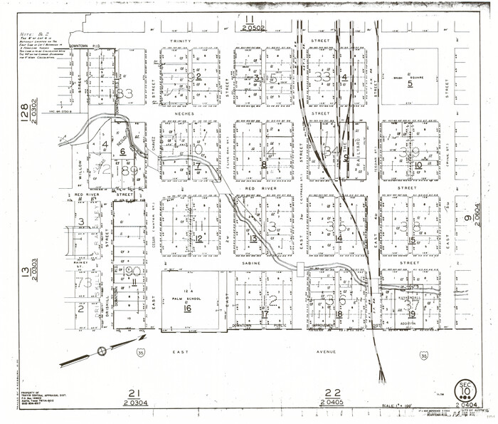
Travis County Appraisal District Plat Map 2_0404

Print $20.00
- Digital $50.00
Travis County Appraisal District Plat Map 2_0404
Size 20.5 x 24.1 inches
Map/Doc 94228
Henderson County Rolled Sketch 11


Print $20.00
- Digital $50.00
Henderson County Rolled Sketch 11
1915
Size 29.5 x 42.6 inches
Map/Doc 75947
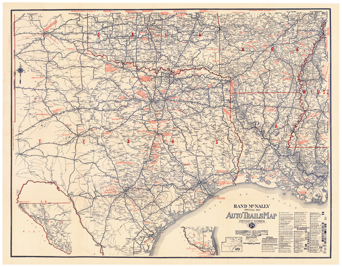
Rand, McNally Official 1922 Auto Trails Map, District Number 18

Print $20.00
- Digital $50.00
Rand, McNally Official 1922 Auto Trails Map, District Number 18
1922
Size 27.1 x 34.7 inches
Map/Doc 95887
Atascosa County Boundary File 2


Print $52.00
- Digital $50.00
Atascosa County Boundary File 2
Size 8.9 x 36.2 inches
Map/Doc 50160
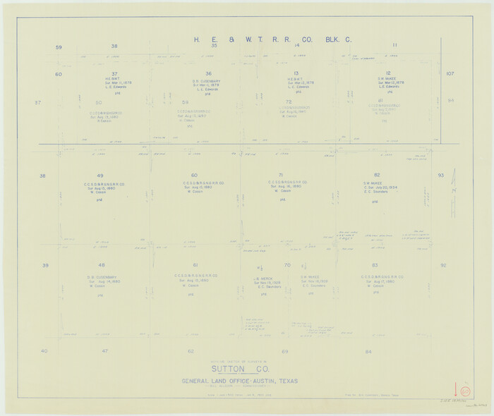
Sutton County Working Sketch 60

Print $20.00
- Digital $50.00
Sutton County Working Sketch 60
1959
Size 29.1 x 34.6 inches
Map/Doc 62403
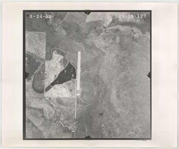
Flight Mission No. BRA-3M, Frame 129, Jefferson County

Print $20.00
- Digital $50.00
Flight Mission No. BRA-3M, Frame 129, Jefferson County
1953
Size 18.5 x 22.3 inches
Map/Doc 85403
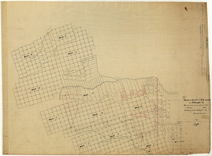
Wilbarger County Rolled Sketch 2

Print $40.00
- Digital $50.00
Wilbarger County Rolled Sketch 2
Size 36.7 x 49.6 inches
Map/Doc 10140
Maps of Gulf Intracoastal Waterway, Texas - Sabine River to the Rio Grande and connecting waterways including ship channels


Print $20.00
- Digital $50.00
Maps of Gulf Intracoastal Waterway, Texas - Sabine River to the Rio Grande and connecting waterways including ship channels
1966
Size 14.5 x 22.3 inches
Map/Doc 61936
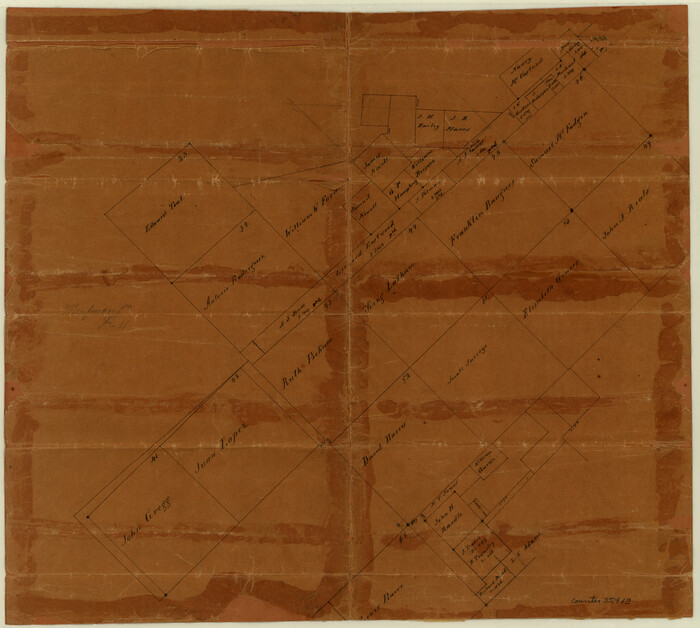
Rockwall County Sketch File 1

Print $22.00
Rockwall County Sketch File 1
Size 14.5 x 16.1 inches
Map/Doc 35413
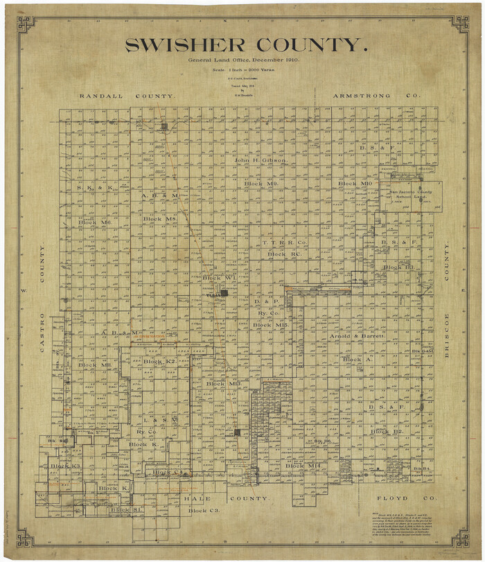
Swisher County

Print $20.00
- Digital $50.00
Swisher County
1910
Size 45.3 x 39.1 inches
Map/Doc 63054
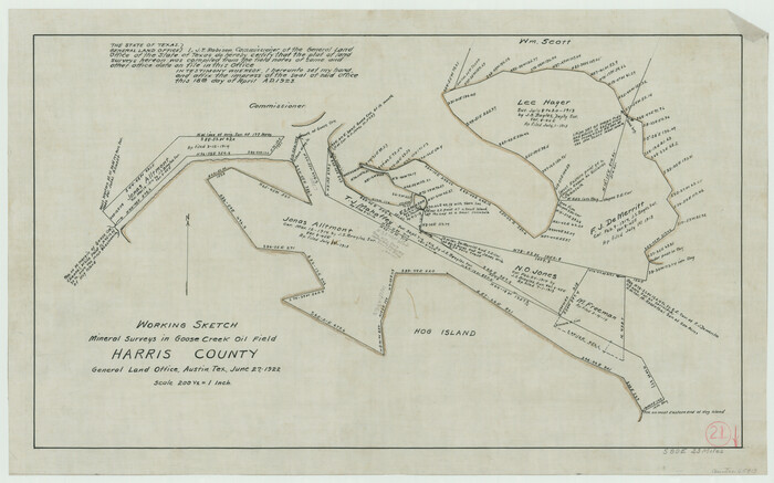
Harris County Working Sketch 21

Print $20.00
- Digital $50.00
Harris County Working Sketch 21
Size 14.1 x 22.6 inches
Map/Doc 65913
Crosby County Sketch File 33


Print $20.00
- Digital $50.00
Crosby County Sketch File 33
1954
Size 30.9 x 37.1 inches
Map/Doc 10354
![91757, [Sketch of Randall County], Twichell Survey Records](https://historictexasmaps.com/wmedia_w1800h1800/maps/91757-1.tif.jpg)