[Sketch of area just south of Levi Pruitt survey]
234-2
-
Map/Doc
91854
-
Collection
Twichell Survey Records
-
Counties
Van Zandt Kaufman
-
Height x Width
24.9 x 18.6 inches
63.3 x 47.2 cm
Part of: Twichell Survey Records
[Blocks A, RG, O, B, S and 11]
![92858, [Blocks A, RG, O, B, S and 11], Twichell Survey Records](https://historictexasmaps.com/wmedia_w700/maps/92858-1.tif.jpg)
![92858, [Blocks A, RG, O, B, S and 11], Twichell Survey Records](https://historictexasmaps.com/wmedia_w700/maps/92858-1.tif.jpg)
Print $20.00
- Digital $50.00
[Blocks A, RG, O, B, S and 11]
1921
Size 25.2 x 15.5 inches
Map/Doc 92858
[West half of county, south of John H. Stephens Block S2]
![92976, [West half of county, south of John H. Stephens Block S2], Twichell Survey Records](https://historictexasmaps.com/wmedia_w700/maps/92976-1.tif.jpg)
![92976, [West half of county, south of John H. Stephens Block S2], Twichell Survey Records](https://historictexasmaps.com/wmedia_w700/maps/92976-1.tif.jpg)
Print $2.00
- Digital $50.00
[West half of county, south of John H. Stephens Block S2]
1912
Size 8.6 x 5.9 inches
Map/Doc 92976
[West line of H. & T. C. Block 97]
![90210, [West line of H. & T. C. Block 97], Twichell Survey Records](https://historictexasmaps.com/wmedia_w700/maps/90210-1.tif.jpg)
![90210, [West line of H. & T. C. Block 97], Twichell Survey Records](https://historictexasmaps.com/wmedia_w700/maps/90210-1.tif.jpg)
Print $20.00
- Digital $50.00
[West line of H. & T. C. Block 97]
Size 19.7 x 35.1 inches
Map/Doc 90210
Public School Land Leagues 1 through 63]
![92487, Public School Land Leagues 1 through 63], Twichell Survey Records](https://historictexasmaps.com/wmedia_w700/maps/92487-1.tif.jpg)
![92487, Public School Land Leagues 1 through 63], Twichell Survey Records](https://historictexasmaps.com/wmedia_w700/maps/92487-1.tif.jpg)
Print $20.00
- Digital $50.00
Public School Land Leagues 1 through 63]
Size 23.9 x 16.8 inches
Map/Doc 92487
[Sketch to show the positions of surveys 1-18 made by G. R. Jowell with reference to Capitol Leagues]
![90539, [Sketch to show the positions of surveys 1-18 made by G. R. Jowell with reference to Capitol Leagues], Twichell Survey Records](https://historictexasmaps.com/wmedia_w700/maps/90539-1.tif.jpg)
![90539, [Sketch to show the positions of surveys 1-18 made by G. R. Jowell with reference to Capitol Leagues], Twichell Survey Records](https://historictexasmaps.com/wmedia_w700/maps/90539-1.tif.jpg)
Print $20.00
- Digital $50.00
[Sketch to show the positions of surveys 1-18 made by G. R. Jowell with reference to Capitol Leagues]
1905
Size 14.7 x 14.6 inches
Map/Doc 90539
[Area to the West and North of the Abraham Winfrey survey 11]
![90228, [Area to the West and North of the Abraham Winfrey survey 11], Twichell Survey Records](https://historictexasmaps.com/wmedia_w700/maps/90228-1.tif.jpg)
![90228, [Area to the West and North of the Abraham Winfrey survey 11], Twichell Survey Records](https://historictexasmaps.com/wmedia_w700/maps/90228-1.tif.jpg)
Print $20.00
- Digital $50.00
[Area to the West and North of the Abraham Winfrey survey 11]
1920
Size 23.2 x 24.1 inches
Map/Doc 90228
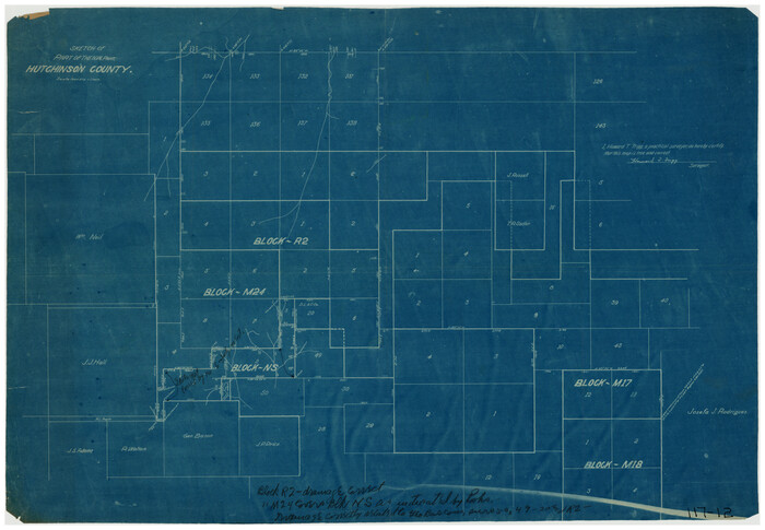
Sketch of the Northwest Portion of Hutchinson County

Print $20.00
- Digital $50.00
Sketch of the Northwest Portion of Hutchinson County
Size 19.8 x 13.6 inches
Map/Doc 91139
[Area north of League 1, Morris County School Land]
![90354, [Area north of League 1, Morris County School Land], Twichell Survey Records](https://historictexasmaps.com/wmedia_w700/maps/90354-1.tif.jpg)
![90354, [Area north of League 1, Morris County School Land], Twichell Survey Records](https://historictexasmaps.com/wmedia_w700/maps/90354-1.tif.jpg)
Print $3.00
- Digital $50.00
[Area north of League 1, Morris County School Land]
1912
Size 11.4 x 9.6 inches
Map/Doc 90354
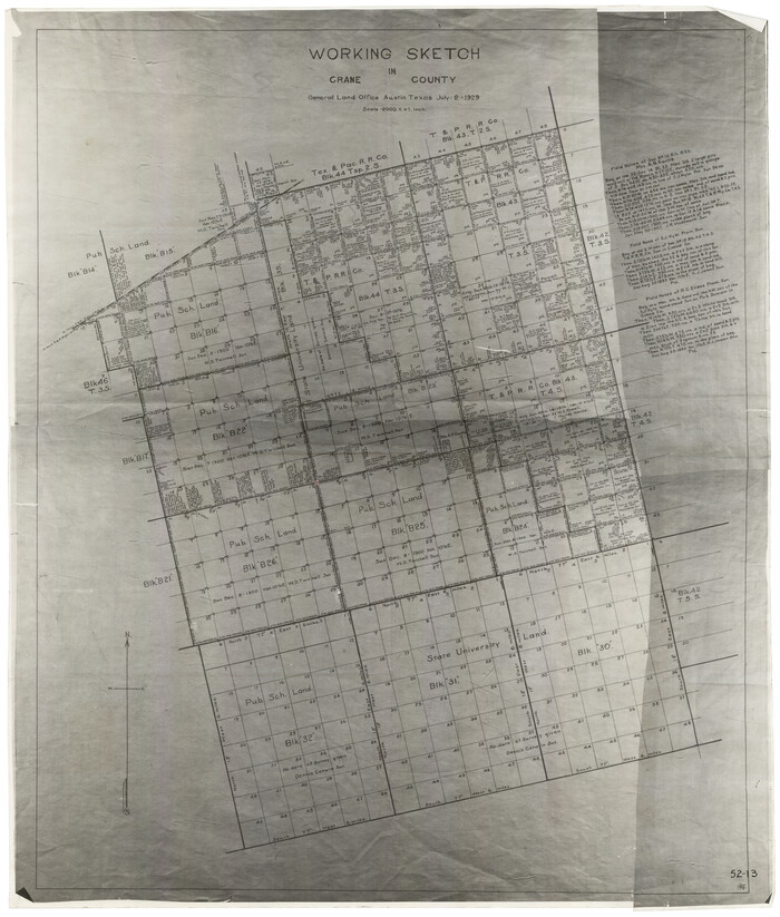
Working Sketch in Crane County

Print $20.00
- Digital $50.00
Working Sketch in Crane County
1929
Size 29.2 x 34.3 inches
Map/Doc 90467
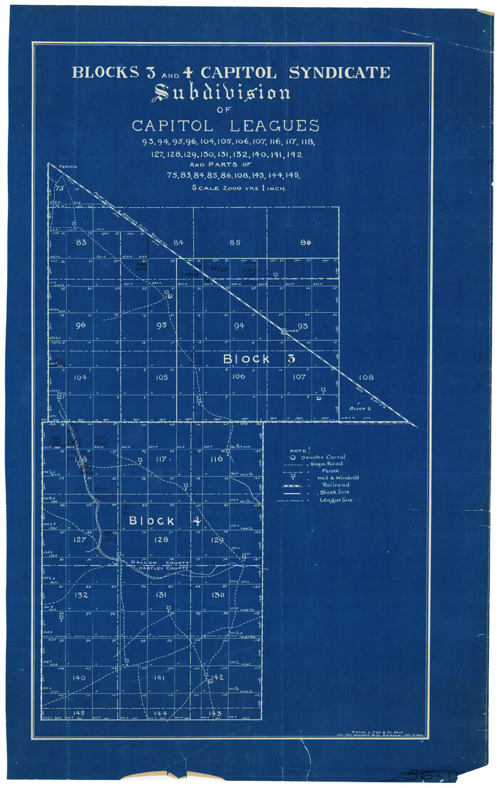
Blocks 3 and 4 Capitol Syndicate Subdivision of Capitol Leagues

Print $20.00
- Digital $50.00
Blocks 3 and 4 Capitol Syndicate Subdivision of Capitol Leagues
1906
Size 17.5 x 27.4 inches
Map/Doc 90581
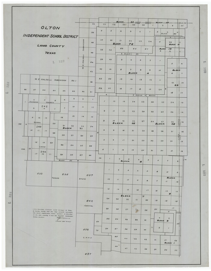
Olton Independent School District Lamb County, Texas

Print $20.00
- Digital $50.00
Olton Independent School District Lamb County, Texas
Size 22.3 x 28.5 inches
Map/Doc 92202
[Sketch showing part of Blk. M6]
![89642, [Sketch showing part of Blk. M6], Twichell Survey Records](https://historictexasmaps.com/wmedia_w700/maps/89642-1.tif.jpg)
![89642, [Sketch showing part of Blk. M6], Twichell Survey Records](https://historictexasmaps.com/wmedia_w700/maps/89642-1.tif.jpg)
Print $40.00
- Digital $50.00
[Sketch showing part of Blk. M6]
1913
Size 64.8 x 30.3 inches
Map/Doc 89642
You may also like
[Survey 1, Block MT, and vicinity]
![90683, [Survey 1, Block MT, and vicinity], Twichell Survey Records](https://historictexasmaps.com/wmedia_w700/maps/90683-1.tif.jpg)
![90683, [Survey 1, Block MT, and vicinity], Twichell Survey Records](https://historictexasmaps.com/wmedia_w700/maps/90683-1.tif.jpg)
Print $3.00
- Digital $50.00
[Survey 1, Block MT, and vicinity]
1903
Size 11.1 x 14.6 inches
Map/Doc 90683
[Surveys along the Brazos River]
![261, [Surveys along the Brazos River], General Map Collection](https://historictexasmaps.com/wmedia_w700/maps/261.tif.jpg)
![261, [Surveys along the Brazos River], General Map Collection](https://historictexasmaps.com/wmedia_w700/maps/261.tif.jpg)
Print $2.00
- Digital $50.00
[Surveys along the Brazos River]
1847
Size 12.1 x 8.4 inches
Map/Doc 261
El Paso County Rolled Sketch 52
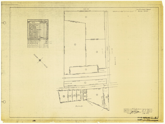

Print $20.00
- Digital $50.00
El Paso County Rolled Sketch 52
1929
Size 18.4 x 24.4 inches
Map/Doc 5844
[Blocks 47, Z, XO2, M18, M23, M25, and H]
![91236, [Blocks 47, Z, XO2, M18, M23, M25, and H], Twichell Survey Records](https://historictexasmaps.com/wmedia_w700/maps/91236-1.tif.jpg)
![91236, [Blocks 47, Z, XO2, M18, M23, M25, and H], Twichell Survey Records](https://historictexasmaps.com/wmedia_w700/maps/91236-1.tif.jpg)
Print $20.00
- Digital $50.00
[Blocks 47, Z, XO2, M18, M23, M25, and H]
Size 29.6 x 23.6 inches
Map/Doc 91236
Hudspeth County Rolled Sketch 63
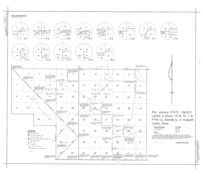

Print $20.00
- Digital $50.00
Hudspeth County Rolled Sketch 63
Size 41.8 x 47.9 inches
Map/Doc 9227
Armstrong County


Print $20.00
- Digital $50.00
Armstrong County
1933
Size 44.0 x 41.3 inches
Map/Doc 1773
Zavala County Rolled Sketch 14
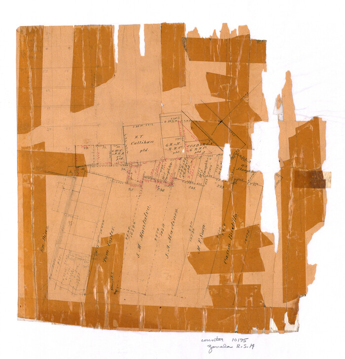

Print $20.00
- Digital $50.00
Zavala County Rolled Sketch 14
1887
Size 28.1 x 40.8 inches
Map/Doc 10175
Photostat of section of hydrographic surveys H-5399, H-4822, H-470
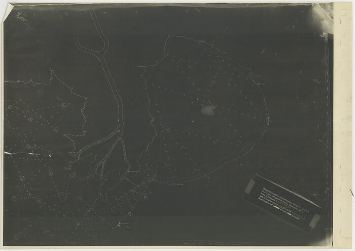

Print $20.00
- Digital $50.00
Photostat of section of hydrographic surveys H-5399, H-4822, H-470
1933
Size 18.3 x 25.8 inches
Map/Doc 61156
[Plat of All Surveys on Lavaca Not Heretofor Returned]
![283, [Plat of All Surveys on Lavaca Not Heretofor Returned], General Map Collection](https://historictexasmaps.com/wmedia_w700/maps/283.tif.jpg)
![283, [Plat of All Surveys on Lavaca Not Heretofor Returned], General Map Collection](https://historictexasmaps.com/wmedia_w700/maps/283.tif.jpg)
Print $20.00
- Digital $50.00
[Plat of All Surveys on Lavaca Not Heretofor Returned]
1841
Size 31.3 x 22.0 inches
Map/Doc 283
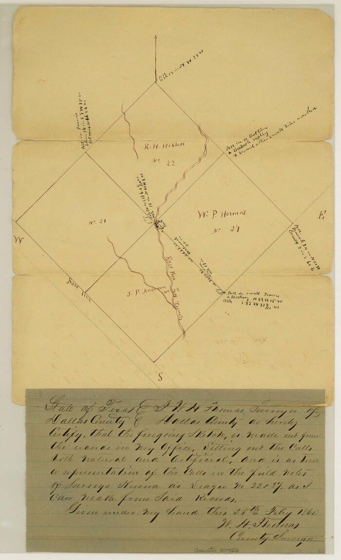
Dallas County Sketch File 23

Print $6.00
- Digital $50.00
Dallas County Sketch File 23
1860
Size 14.5 x 8.8 inches
Map/Doc 20456
![91854, [Sketch of area just south of Levi Pruitt survey], Twichell Survey Records](https://historictexasmaps.com/wmedia_w1800h1800/maps/91854-1.tif.jpg)

