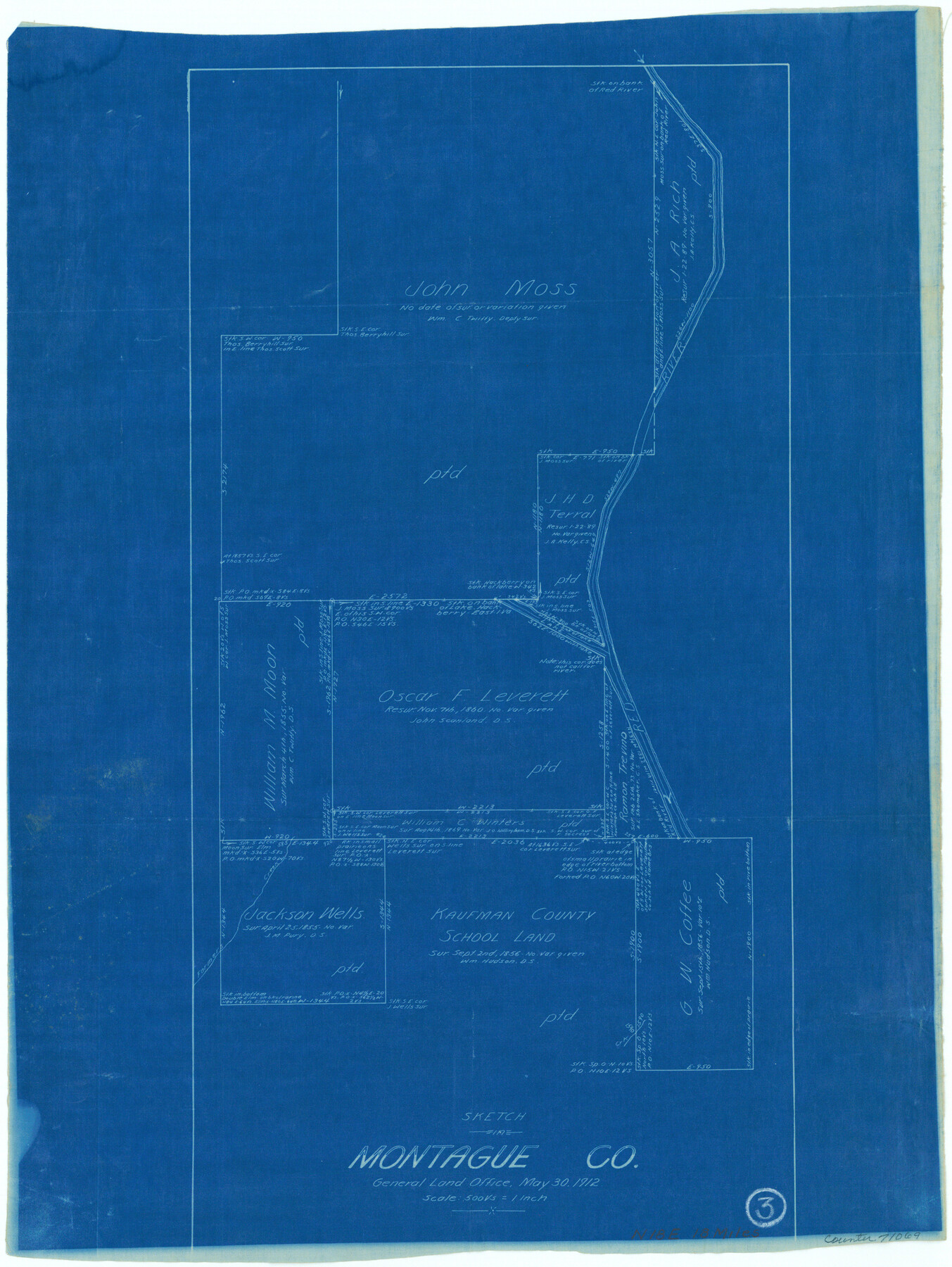
Montague County Working Sketch 3
-
Map/Doc
71069
-
Collection
General Map Collection
-
Object Dates
5/30/1912 (Creation Date)
-
Counties
Montague
-
Subjects
Surveying Working Sketch
-
Height x Width
20.5 x 15.4 inches
52.1 x 39.1 cm
-
Scale
1" = 500 varas
Part of: General Map Collection
Schleicher County Rolled Sketch 13

Print $20.00
- Digital $50.00
Schleicher County Rolled Sketch 13
Size 37.2 x 30.8 inches
Map/Doc 7756
Irion County Working Sketch 12

Print $20.00
- Digital $50.00
Irion County Working Sketch 12
1968
Size 15.9 x 24.9 inches
Map/Doc 66421
Bastrop County Sketch File 6

Print $4.00
- Digital $50.00
Bastrop County Sketch File 6
1875
Size 8.8 x 7.8 inches
Map/Doc 14050
Deaf Smith County Sketch File 1a

Print $21.00
- Digital $50.00
Deaf Smith County Sketch File 1a
Size 11.5 x 9.2 inches
Map/Doc 20616
Duval County Sketch File 65

Print $6.00
- Digital $50.00
Duval County Sketch File 65
1943
Size 14.4 x 9.1 inches
Map/Doc 21441
Throckmorton County

Print $20.00
- Digital $50.00
Throckmorton County
1880
Size 24.5 x 19.3 inches
Map/Doc 4079
Bexar County Sketch File X

Print $4.00
- Digital $50.00
Bexar County Sketch File X
1878
Size 8.0 x 10.5 inches
Map/Doc 14463
Nueces County NRC Article 33.136 Sketch 24

Print $24.00
Nueces County NRC Article 33.136 Sketch 24
2024
Map/Doc 97424
Johnson County Working Sketch 17

Print $40.00
- Digital $50.00
Johnson County Working Sketch 17
1985
Size 48.3 x 44.4 inches
Map/Doc 66630
Red River County Working Sketch 51

Print $20.00
- Digital $50.00
Red River County Working Sketch 51
1970
Size 31.2 x 28.5 inches
Map/Doc 72034
Jack County Sketch File 9b

Print $4.00
- Digital $50.00
Jack County Sketch File 9b
1856
Size 8.2 x 13.5 inches
Map/Doc 27525
Map of Dimmit County

Print $20.00
- Digital $50.00
Map of Dimmit County
1875
Size 21.9 x 24.0 inches
Map/Doc 3489
You may also like
Kimble County Sketch File 16

Print $30.00
- Digital $50.00
Kimble County Sketch File 16
1886
Size 8.5 x 7.9 inches
Map/Doc 28942
Map of the Town of Giddings

Print $20.00
- Digital $50.00
Map of the Town of Giddings
1871
Size 23.9 x 29.8 inches
Map/Doc 89270
Borden County

Print $20.00
- Digital $50.00
Borden County
1922
Size 36.8 x 41.7 inches
Map/Doc 92457
Amistad International Reservoir on Rio Grande 75

Print $20.00
- Digital $50.00
Amistad International Reservoir on Rio Grande 75
1949
Size 28.5 x 40.1 inches
Map/Doc 75503
Crane County Sketch File 21

Print $7.00
- Digital $50.00
Crane County Sketch File 21
1930
Size 11.4 x 8.9 inches
Map/Doc 19590
Matagorda County Rolled Sketch 18A

Print $20.00
- Digital $50.00
Matagorda County Rolled Sketch 18A
1838
Size 35.4 x 30.1 inches
Map/Doc 6686
General Highway Map, Medina County, Texas

Print $20.00
General Highway Map, Medina County, Texas
1940
Size 18.3 x 24.5 inches
Map/Doc 79194
Maverick County Rolled Sketch 16

Print $20.00
- Digital $50.00
Maverick County Rolled Sketch 16
1887
Size 21.5 x 31.9 inches
Map/Doc 6709
Hudspeth County Sketch File 11a

Print $8.00
- Digital $50.00
Hudspeth County Sketch File 11a
Size 14.3 x 9.0 inches
Map/Doc 26910
Chambers County Rolled Sketch 33

Print $71.00
- Digital $50.00
Chambers County Rolled Sketch 33
1950
Size 10.7 x 15.6 inches
Map/Doc 44106
[Sketch showing the Rio Grande with towns and features annotated]
![72897, [Sketch showing the Rio Grande with towns and features annotated], General Map Collection](https://historictexasmaps.com/wmedia_w700/maps/72897.tif.jpg)
Print $20.00
- Digital $50.00
[Sketch showing the Rio Grande with towns and features annotated]
1854
Size 23.7 x 18.4 inches
Map/Doc 72897
[Sketch showing Block M-3]
![91708, [Sketch showing Block M-3], Twichell Survey Records](https://historictexasmaps.com/wmedia_w700/maps/91708-1.tif.jpg)
Print $20.00
- Digital $50.00
[Sketch showing Block M-3]
Size 7.0 x 21.2 inches
Map/Doc 91708