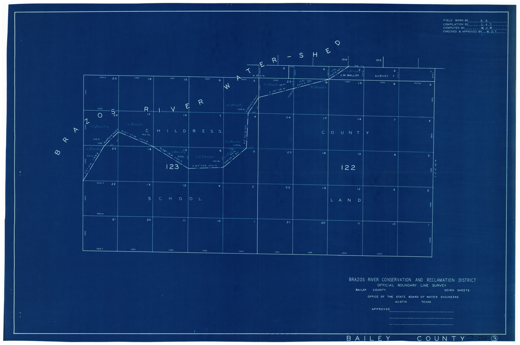
Brazos River Conservation and Reclamation District Official Boundary Line Survey
9-24
-
Map/Doc
90127
-
Collection
Twichell Survey Records
-
People and Organizations
Office of the State Board of Water Engineers (Publisher)
Sylvan Sanders (Surveyor/Engineer)
-
Counties
Bailey
-
Height x Width
37.1 x 24.7 inches
94.2 x 62.7 cm
Part of: Twichell Survey Records
Estate of John B. Googins' Land

Print $20.00
- Digital $50.00
Estate of John B. Googins' Land
Size 14.0 x 16.9 inches
Map/Doc 92849
[Worksheets related to the Wilson Strickland survey and vicinity]
![89715, [Vicinity and related to the Wilson Strickland Survey], Twichell Survey Records](https://historictexasmaps.com/wmedia_w700/maps/89715-1.tif.jpg)
Print $20.00
- Digital $50.00
[Worksheets related to the Wilson Strickland survey and vicinity]
Size 34.7 x 43.0 inches
Map/Doc 89715
Brazos River Conservation and Reclamation District Official Boundary Line Survey

Print $20.00
- Digital $50.00
Brazos River Conservation and Reclamation District Official Boundary Line Survey
1931
Size 25.1 x 36.9 inches
Map/Doc 90125
[Blocks S1, O6, O, A1, A2, A3, A4, JK, JK2, JK4, and JD]
![90657, [Blocks S1, O6, O, A1, A2, A3, A4, JK, JK2, JK4, and JD], Twichell Survey Records](https://historictexasmaps.com/wmedia_w700/maps/90657-1.tif.jpg)
Print $20.00
- Digital $50.00
[Blocks S1, O6, O, A1, A2, A3, A4, JK, JK2, JK4, and JD]
Size 21.3 x 22.4 inches
Map/Doc 90657
[Leagues 633-737]
![91107, [Leagues 633-737], Twichell Survey Records](https://historictexasmaps.com/wmedia_w700/maps/91107-1.tif.jpg)
Print $20.00
- Digital $50.00
[Leagues 633-737]
Size 23.9 x 19.6 inches
Map/Doc 91107
Bailey County, Texas

Print $20.00
- Digital $50.00
Bailey County, Texas
Size 30.1 x 41.8 inches
Map/Doc 92528
Subdivisions of Capitol Leagues 112, 113, 114, 115, and parts of 110 and 111

Print $2.00
- Digital $50.00
Subdivisions of Capitol Leagues 112, 113, 114, 115, and parts of 110 and 111
1906
Size 6.3 x 8.3 inches
Map/Doc 90518
Map of Terry County

Print $20.00
- Digital $50.00
Map of Terry County
1917
Size 17.7 x 22.6 inches
Map/Doc 91874
[Sketch showing surveys in the north half of Potter County, Blocks 1, 6-T, 25, B-10, B-12, O-18, P and Mc, and H. & T. C., Block 44]
![91742, [Sketch showing surveys in the north half of Potter County, Blocks 1, 6-T, 25, B-10, B-12, O-18, P and Mc, and H. & T. C., Block 44], Twichell Survey Records](https://historictexasmaps.com/wmedia_w700/maps/91742-1.tif.jpg)
Print $20.00
- Digital $50.00
[Sketch showing surveys in the north half of Potter County, Blocks 1, 6-T, 25, B-10, B-12, O-18, P and Mc, and H. & T. C., Block 44]
Size 40.4 x 17.7 inches
Map/Doc 91742
[Lee County School Land and vicinity]
![90886, [Lee County School Land and vicinity], Twichell Survey Records](https://historictexasmaps.com/wmedia_w700/maps/90886-1.tif.jpg)
Print $2.00
- Digital $50.00
[Lee County School Land and vicinity]
Size 9.0 x 14.8 inches
Map/Doc 90886
Revised Sectional Map Number 2, Lands in Texas and Pacific Railway Reservation From Westbrook Station in Mitchell County to Metz Station in Ector County

Print $20.00
- Digital $50.00
Revised Sectional Map Number 2, Lands in Texas and Pacific Railway Reservation From Westbrook Station in Mitchell County to Metz Station in Ector County
Size 25.1 x 19.6 inches
Map/Doc 91366
Heydrick's Ownership Map of Concho Co. Tex.

Print $20.00
- Digital $50.00
Heydrick's Ownership Map of Concho Co. Tex.
1919
Size 33.9 x 37.9 inches
Map/Doc 92616
You may also like

Hamilton County Working Sketch 20

Print $20.00
- Digital $50.00
Hamilton County Working Sketch 20
1953
Size 32.5 x 30.8 inches
Map/Doc 63358
General Highway Map, McLennan County, Texas

Print $20.00
General Highway Map, McLennan County, Texas
1940
Size 18.3 x 24.6 inches
Map/Doc 79191
Chambers County Working Sketch 30

Print $20.00
- Digital $50.00
Chambers County Working Sketch 30
2012
Size 29.2 x 43.9 inches
Map/Doc 93400
Carte Générale des États-Unis pour servir a l'Histoire de la Louisiane

Print $20.00
- Digital $50.00
Carte Générale des États-Unis pour servir a l'Histoire de la Louisiane
1829
Size 12.0 x 15.9 inches
Map/Doc 97260


Harris County Sketch File 106

Print $80.00
- Digital $50.00
Harris County Sketch File 106
1995
Size 11.3 x 8.8 inches
Map/Doc 25975
Edwards County Rolled Sketch 22

Print $20.00
- Digital $50.00
Edwards County Rolled Sketch 22
1951
Size 46.0 x 25.4 inches
Map/Doc 8845
Jefferson County Rolled Sketch 61C

Print $20.00
- Digital $50.00
Jefferson County Rolled Sketch 61C
1928
Size 27.2 x 40.3 inches
Map/Doc 6412

Map of Shackelford County, North of the Clearfork of the Brazos River Young - South of il Milam - Land District

Print $20.00
- Digital $50.00
Map of Shackelford County, North of the Clearfork of the Brazos River Young - South of il Milam - Land District
1859
Size 24.8 x 19.9 inches
Map/Doc 4027